From Surf Wiki (app.surf) — the open knowledge base
North Norfolk
District in Norfolk, England

District in Norfolk, England
| Field | Value | |
|---|---|---|
| name | North Norfolk District | |
| type | Non-metropolitan district | |
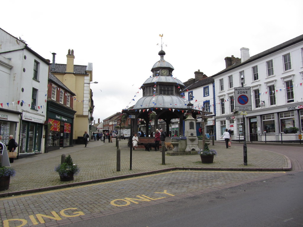
| image_skyline | Cromer, Norfolk, with pier (51725911023).jpg | |
| imagesize | 280px | |
| image_caption | Cromer, the administrative centre of North Norfolk and the second-largest settlement | |
| image_map | North Norfolk UK locator map.svg | |
| map_caption | Shown within Norfolk | |
| mapsize | frameless | |
| subdivision_type | Sovereign state | |
| subdivision_name | United Kingdom | |
| subdivision_type1 | Constituent country | |
| subdivision_name1 | England | |
| subdivision_type2 | Region | |
| subdivision_name2 | East of England | |
| subdivision_type3 | Administrative county | |
| subdivision_name3 | Norfolk | |
| seat_type | Admin. HQ | |
| seat | Cromer | |
| government_type | North Norfolk District Council | |
| leader_title2 | MPs: | |
| leader_name2 | Steffan Aquarone (LD) | |
| Jerome Mayhew (C) | ||
| established_title | Formed | |
| established_date | 1 April 1974 | |
| area_rank | [](list-of-english-districts-by-area) | |
| area_total_km2 | ||
| population_as_of | ||
| population_total | ||
| population_rank | Ranked | |
| population_density_km2 | auto | |
| timezone | Greenwich Mean Time | |
| utc_offset | +0 | |
| timezone_DST | British Summer Time | |
| utc_offset_DST | +1 | |
| postal_code_type | Postcode | |
| postal_code | ||
| blank_name | ISO 3166-2 | |
| blank_info | ||
| blank1_name | ONS code | |
| blank1_info | 33UF (ONS) | |
| E07000147 (GSS) | ||
| blank2_name | OS grid reference | |
| blank2_info | ||
| blank3_name | NUTS 3 | |
| blank3_info | ||
| <!-- demographics (section 1) --> | demographics_type1 | Ethnicity (2021) |
| demographics1_footnotes | ||
| demographics1_title1 | Ethnic groups | |
| demographics1_info1 | {{Collapsible list | |
| <!-- demographics (section 2) --> | demographics_type2 | Religion (2021) |
| demographics2_footnotes | ||
| demographics2_title1 | Religion | |
| demographics2_info1 | {{Collapsible list |
Jerome Mayhew (C) E07000147 (GSS) | 98.1% White | 0.9% Mixed | 0.5% Asian | 0.2% other | 0.2% Black | 52.3% Christianity | 39.6% no religion | 7.9% other | 0.2% Islam
North Norfolk is a local government district in Norfolk, England. Its council is based in Cromer, and the largest town is North Walsham. The district also includes the towns of Fakenham, Holt, Sheringham, Stalham and Wells-next-the-Sea, along with numerous villages and surrounding rural areas.
The district lies on the north coast of Norfolk, facing the North Sea, with much of its coastline lying within the Norfolk Coast Area of Outstanding Natural Beauty. Some south-eastern parts of the district lie within The Broads. The neighbouring districts are Great Yarmouth, Breckland, Broadland and King's Lynn and West Norfolk.
History
The district was created on 1 April 1974 under the Local Government Act 1972, covering seven former districts which were all abolished at the same time:
- Cromer Urban District
- Erpingham Rural District
- North Walsham Urban District
- Sheringham Urban District
- Smallburgh Rural District
- Walsingham Rural District
- Wells-next-the-Sea Urban District A committee of the outgoing councils drew up a list of possible names for the new district to be considered by the Local Government Boundary Commission. Suggested names included North Norfolk, Seafields, Pastonacres, Norfolk Coastal and Cromer. The commission chose the name Pastonacres, which had been coined by a member of Smallburgh Rural District Council in recognition of the extensive landholdings in the area of the Paston family in medieval times. The name was not a popular choice locally, and at the very first meeting of the shadow Pastonacres District Council elected in 1973 it was resolved to change the name to North Norfolk, which was agreed by the government in September 1973, before the new district formally came into being in 1974.
Governance
Liberal Democrat Liberal Democrat ;Administration (26) : ;Other parties (14) : Conservative (11) :
North Norfolk District Council provides district-level services. County-level services are provided by Norfolk County Council. The whole district is also covered by civil parishes, which form a third tier of local government.
In the parts of the district within The Broads, town planning is the responsibility of the Broads Authority. The district council appoints one of its councillors to sit on that authority.

Political control
The council has been under Liberal Democrat majority control since 2019.
The first election to the council was held in 1973, initially operating as a shadow authority alongside the outgoing authorities until the new arrangements took effect on 1 April 1974. Political control of the council since 1974 has been as follows:
| Party in control | Years |
|---|---|
| 1974–1991 | |
| 1991–2003 | |
| 2003–2011 | |
| 2011–2017 | |
| 2017–2019 | |
| 2019–present |
Leadership
The leaders of the council since 2004 have been:
| Councillor | Party | From | To |
|---|---|---|---|
| John Sweeney | 2004 | ||
| Simon Partridge | 2004 | 2008 | |
| Virginia Gay | 2008 | May 2011 | |
| Helen Eales | May 2011 | 30 May 2012 | |
| Keith Johnson | 30 May 2012 | 2 Dec 2012 | |
| Tom FitzPatrick | 19 Dec 2012 | 21 Feb 2018 | |
| John Lee | 21 Feb 2018 | 21 Nov 2018 | |
| Sarah Bütikofer | 21 Nov 2018 | 9 Feb 2022 | |
| Tim Adams | 9 Feb 2022 |
Composition
Following the 2023 election, and subsequent by-elections and changes of allegiance up to May 2025, the composition of the council was:
| Party | Councillors | Total | 40 |
|---|---|---|---|
| 26 | |||
| 11 | |||
| 3 |
The next election is due in 2027.
Elections
Since the last boundary changes in 2019 the council has comprised 40 councillors representing 32 wards, with each ward electing one or two councillors. Elections are held every four years.
Premises
The council is based at the Council Offices on Holt Road in Cromer. The building was purpose-built for the council and opened in 1990.
The council also operates an office at the Connect Centre in Fakenham, which is open to the public as a call in centre for council business.
Geography
At the time of the 2001 census, the district had an area of 994 km2, with a population of 98,382 in 43,502 households.
Demography

The 2021 census results found that the local authority area had the highest proportions of population over 65 in the England and Wales, at 33.5%.

Towns and parishes
The district is entirely covered by 121 civil parishes. The parish councils for Cromer, Fakenham, Holt, North Walsham, Sheringham, Stalham and Wells-next-the-Sea have declared their parishes to be towns, allowing them to take the style "town council".
- Alby with Thwaite, Aldborough, Antingham, Ashmanhaugh, Aylmerton
- Baconsthorpe, Bacton, Barsham, Barton Turf, Beeston Regis, Binham, Blakeney, Bodham, Briningham, Brinton, Briston, Brumstead
- Catfield, Cley-Next-The-Sea, Colby, Corpusty, Cromer
- Dilham, Dunton
- East Beckham, East Ruston, Edgefield, Erpingham
- Fakenham, Felbrigg, Felmingham, Field Dalling, Fulmodeston
- Gimingham, Great Snoring, Gresham, Guestwick, Gunthorpe
- Hanworth, Happisburgh, Helhoughton, Hempstead, Hempton, Hickling, High Kelling, Hindolveston, Hindringham, Holkham, Holt, Honing, Horning, Horsey, Hoveton
- Ingham, Ingworth, Itteringham
- Kelling, Kettlestone, Knapton
- Langham, Lessingham, Letheringsett with Glandford, Little Barningham, Little Snoring, Ludham
- Matlaske, Melton Constable, Morston, Mundesley
- Neatishead, Northrepps, North Walsham
- Overstrand
- Paston, Plumstead, Potter Heigham, Pudding Norton
- East Raynham, West Raynham, South Raynham, Roughton, West Runton/East Runton, Ryburgh
- Salthouse, Scottow, Sculthorpe, Sea Palling, Sharrington, Sheringham, Sidestrand, Skeyton, Sloley, Smallburgh, Southrepps, Stalham, Stibbard, Stiffkey, Stody, Suffield, Sustead, Sutton, Swafield, Swanton Abbott, Swanton Novers
- Tatterford, Tattersett, Testerton, Thornage, Thorpe Market, Thurgarton, Thurning, Thursford, Trimingham, Trunch, Tunstead
- Upper Sheringham
- Walsingham, Warham, Wells-next-the-Sea, West Beckham, Westwick, Weybourne, Wickmere, Wighton, Witton, Wiveton, Wood Norton, Worstead
Controversies
Almost £389,000 was given to the council's "joint head of paid services", Nick Baker, in the form of an "exit package", reported Private Eye in October 2020. This was £89,000 more than the council had spent purchasing dwellings to support homeless people in 2019/20, the Eastern Daily Press reported. The council's opposition leader, Christopher Cushing, was quoted describing the payment to Baker as "extraordinary". The Press also reported the total cost of so-called "golden goodbyes" for senior council staff had risen to £1.8 million.
Media
Television
North Norfolk is served by BBC Look East and ITV News Anglia, BBC Look North and ITV News Calendar can also be received.
Radio
Radio stations are served by:
- BBC Radio Norfolk on 95.6 FM and 104.4 FM
- Heart East on 96.4 FM and 102.4 FM
- Greatest Hits Radio East (formerly North Norfolk Radio) on 96.2 FM and 103.2 FM
- Poppyland Community Radio, a community based station which broadcast online.
Newspapers
Local newspapers that cover the area are:
- North Norfolk News .
- Eastern Daily Press
Cultural references
The 2013 movie Alan Partridge: Alpha Papa was filmed in the area.
The World of Darkness parody web series, Hunter: The Parenting, is set in the area.
References
References
- "North Norfolk Local Authority".
- {{cite legislation UK. (1972)
- (2 February 1973). "Schemes for new council". Lynn News and Advertiser.
- {{cite legislation UK. (1973)
- (26 June 1973). "Council seeks name change". Lynn News and Advertiser.
- "Historical information on changes to electoral arrangements of Local authorities, Parliamentary areas and European Parliamentary boundaries". Ordnance Survey.
- "New Chairman appointed at 2025/26 Annual General Meeting".
- (16 April 2020). "Leadership shake-up sees familiar face take top job after report found 'serious concerns'". North Norfolk News.
- {{cite legislation UK. (1972)
- "Election Maps". Ordnance Survey.
- "Who we are".
- "Compositions Calculator". University of Exeter.
- "North Norfolk". [[BBC News Online]].
- (22 January 2004). "Secret deals with Tesco cast shadow over town". The Guardian.
- "Councillors".
- "Councillors".
- "Councillors".
- (25 February 2011). "North Norfolk council defends £1m consultancy bills". Eastern Daily Press.
- (31 May 2012). "Keith Johnson elected as the new leader of North Norfolk District Council after Helen Eales steps down". Eastern Daily Press.
- (24 September 2013). "Norfolk council leader abused wife and planned her murder, inquest hears". The Guardian.
- (20 December 2012). "New leader chosen at North Norfolk District Council after shotgun death of predecessor". Eastern Daily Press.
- (21 February 2018). "'Grow up and get on with it' - new leader's message as he takes over council reins". North Norfolk News.
- (21 November 2018). "Political tide turns in North Norfolk as vote of no confidence is carried against leadership". North Norfolk News.
- "Council minutes, 9 February 2022".
- "Local elections 2023: live council results for England". The Guardian.
- "North Norfolk". Thorncliffe.
- {{cite legislation UK. (2017)
- The Buildings of England, Norfolk 1, Norwich and North-east, By Nikolaus Pevsner and Bill Wilson {{ISBN. 0-300-09607-0
- Office for National Statistics & Norfolk County Council (2001). ''[http://www.norfolk.gov.uk/consumption/groups/public/documents/general_resources/ncc017867.xls Census population and household counts for unparished urban areas and all parishes] {{webarchive. link. (11 February 2017 ''. Retrieved 2 December 2005.)
- "Age - Census Maps, ONS".
- "Parish council contact details".
- Private Eye, Issue 1532, p.21
- "Eastern Daily Press".
- Anderson, Stuart. (3 February 2022). "New radio station to launch in north Norfolk".
- (4 February 2014). "North Norfolk News".
- (21 June 2014). "Eastern Daily Press".
This article was imported from Wikipedia and is available under the Creative Commons Attribution-ShareAlike 4.0 License. Content has been adapted to SurfDoc format. Original contributors can be found on the article history page.
Ask Mako anything about North Norfolk — get instant answers, deeper analysis, and related topics.
Research with MakoFree with your Surf account
Create a free account to save articles, ask Mako questions, and organize your research.
Sign up freeThis content may have been generated or modified by AI. CloudSurf Software LLC is not responsible for the accuracy, completeness, or reliability of AI-generated content. Always verify important information from primary sources.
Report