From Surf Wiki (app.surf) — the open knowledge base
Nitshill
.jpg)
| Field | Value |
|---|---|
| country | Scotland |
| official_name | Nitshill |
| gaelic_name | Cnoc nan Cnòthan |
| os_grid_reference | NS520605 |
| coordinates | |
| unitary_scotland | Glasgow City Council |
| lieutenancy_scotland | Glasgow |
| constituency_westminster | Glasgow South West |
| constituency_scottish_parliament | Glasgow Pollok |
| post_town | Glasgow |
| postcode_district | G53 |
| postcode_area | G |
| dial_code | 0141 |
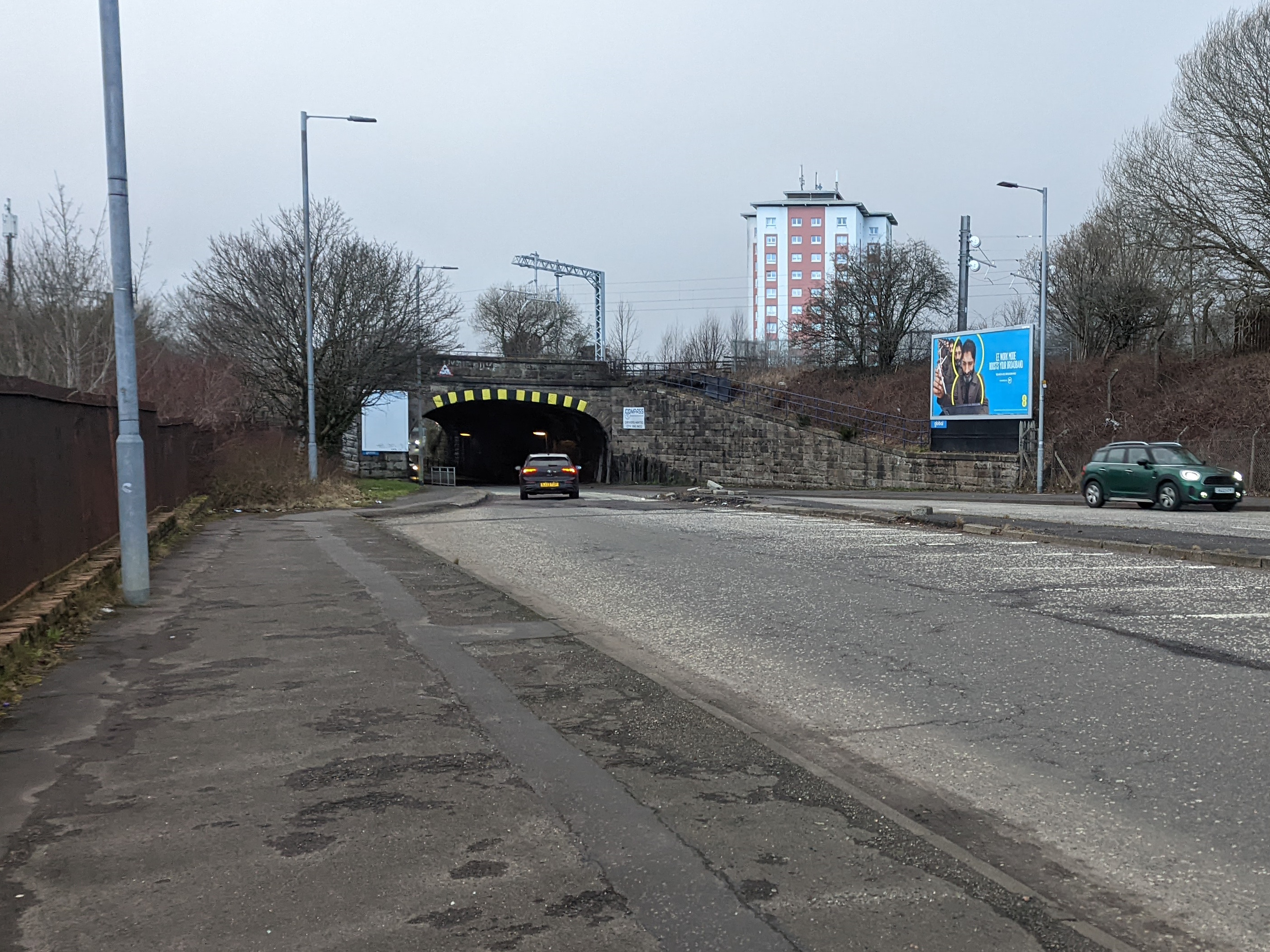
| static_image_name | Flats on Pinmore Street (geograph 5662652).jpg |
| static_image_caption | Refurbished flats on Pinmore Street (2018) |
Nitshill () is a district on the south side of Glasgow. It is bordered by South Nitshill to the south, Darnley to the east, Crookston and Roughmussel to the north-west, Hurlet to the west and Househillwood and Priesthill to the north, with the Pollok district and the Silverburn Centre beyond. An area of open ground to the south-west of Nitshill forms the boundary between Glasgow and the town of Barrhead in East Renfrewshire.
Nitshill was originally a coal mining village; the Victoria Colliery in the area was the scene of one of Scotland's worst mining disasters on 15 March 1851, in which 61 men and boys died.
History
The village fell within the county of Renfrewshire until 1926, when it was incorporated into the City of Glasgow. The change in local government was mainly related to education and community services such as roads, water, sewerage and housing.
Consisting of just a few streets prior to its incorporation into Glasgow, Nitshill grew on a small scale with cottage flats prior to World War II, after which it was substantially expanded to accommodate people relocated during the Glasgow slum clearances in the 1950s and 1960s.
The wider area, sited on the main Glasgow-Kilmarnock road and rail networks and including the post-WWII housing schemes of South Nitshill and Craigbank (as well as Priesthill in some reckonings), became increasingly marked by multiple socio-economic issues. However, there has been a move towards improving the district with the regeneration/demolition of much of the housing and schools, and the building of The Glasgow Museums Resource Centre, a purpose-built museum storage facility and visitor centre (technically located within South Nitshill) which houses the Nitshill Open Museum. There is one small tower block in the area, adjacent to the shopping precinct, the only such structure in that part of Glasgow (over 200 were constructed across the city).

Part of the city's Greater Pollok ward, Nitshill is classed as a low socio-economic area. Studies have confirmed a strong association between deprivation and crime. It is no surprise, therefore, to find that the highest rates of crime in residential areas in Glasgow are to be found in the most deprived areas of the city. This link was highlighted in a report relating to a knife murder committed by a bar manager in a Nitshill pub in 2010.
Nitshill railway station is on the Glasgow South Western Line and has a memorial to the former station clerk John Meikle, killed in action in France in 1918, aged 19, and awarded a posthumous Victoria Cross. The railway line is the southern boundary of Nitshill proper (South Nitshill has a close association with the older part, and residents of the modern developments at Parkhouse further south also make use of the local amenities on Nitshill Road). The northern limit is the Levern Water, where the early 2000s housing estate of Levernbank is situated.
The poet and folk singer Jock Purdon was born and grew up in Nitshill.
Victoria coal pit disaster
On 15 March 1851, an explosion at the Victoria coal pit killed 61 of the 63 men and boys in the mine at the time. Two survivors were rescued 45 hours after the explosion. A memorial to the disaster stands off the main road at Nitshill station, beside the local war memorial.
The plaque reads: :NITSHILL MINING DISASTER :15th MARCH 1851
:IN MEMORY OF THE NITSHILL MINING DISASTER :AND THE 61 MINERS FROM THE VICTORIA PIT :WHO LOST THEIR LIVES
:DONATIONS FROM THE LOCAL COMMUNITY :TRADERS, TRADE UNIONS :AND :GLASGOW CITY COUNCIL
References
- Robert Macleod, Charles Rennie Mackintosh, Country Life Books 1968
References
- "List of railway station names in English, Scots and Gaelic – NewsNetScotland".
- [http://www.visionofbritain.org.uk/place/22271 Nitshill, Renfrewshire], Vision of Britain (Frances Groome's Ordnance Gazetteer of Scotland, 1882–84)
- [https://www.theglasgowstory.com/image/?inum=TGSE00774 Nitshill (Burrell Collection Photo Library, 1920s)], The Glasgow Story
- link. (6 October 2020 , Explore georeferenced maps ([[National Library of Scotland]]))
- [https://canmore.org.uk/collection/1452132 General view, Priesthill, Paisley, Renfrewshire, Scotland, 1937], [[Canmore (database). Canmore]]
- [https://api.parliament.uk/historic-hansard/commons/1950/apr/18/housing-estates-glasgow-schools Housing Estates, Glasgow (Schools)], [[Hansard]], 18 April 1950
- [https://www.theglasgowstory.com/story/?id=TGSFF12 Modern Times: 1950s to The Present Day: Buildings and Cityscape: Council Housing], The Glasgow Story
- [https://www.theglasgowstory.com/story/?id=TGSEG03 No Mean City: 1914 to 1950s: Neighbourhoods: Pollok], The Glasgow Story
- link. (6 October 2020 , Explore georeferenced maps ([[National Library of Scotland]]))
- [https://www.urbanrealm.com/news/6514/Nitshill_estate_regeneration_to_deliver_180_homes.html Nitshill estate regeneration to deliver 180 homes], Urban Realm, 28 November 2016
- [http://blueskyscotland.blogspot.com/2013/07/pollokpriesthill-nitshillsouth.html?m=1 Pollok.Priesthill. Nitshill.South Nitshill.Darnley.Then and Now], Alex and Bob's Blue Sky Scotland, 27 July 2013
- [http://blueskyscotland.blogspot.com/2014/01/pollokpriesthillnitshillthe.html?m=1 Pollok.Priesthill.Nitshill.The Bundy.Gowanbank.Silverburn.Schools, Memories, and Pubs], Alex and Bob's Blue Sky Scotland, 21 January 2014
- [https://www.eveningtimes.co.uk/news/13651779.amp/ New £21million school campus for Glasgow], Evening Times, 8 September 2015
- [http://www.rosehillhousing.co.uk/our-properties/location-houses Location of Houses] {{Webarchive. link. (24 June 2013 , Rosehill Housing Co-operative)
- [https://www.sanctuary-scotland.co.uk/craigbank-glasgow Craigbank development], Sanctuary Scotland
- [https://www.glasgowlife.org.uk/museums/venues/glasgow-museums-resource-centre-gmrc Glasgow Museums Resource Centre (GMRC)], Glasgow Life
- "Tower Block UK: Cleeves Road". [[University of Edinburgh]].
- "415 Nitshill Road". [[Emporis]].
- (15 July 2012). "The deadly link between alcohol and crime Police call to limit sale of drink in deprived areas".
- [http://www.scottishmining.co.uk/27.html Nitshill 15 March 1851] scottishmining.co.uk, accessed 10 February 2010
- [https://www.eveningtimes.co.uk/lifestyle/13284611.amp/ Eye Spy Glasgow: A memorial to 61 miners who lost their lives in pit disaster], [[Evening Times]], 4 July 2014
This article was imported from Wikipedia and is available under the Creative Commons Attribution-ShareAlike 4.0 License. Content has been adapted to SurfDoc format. Original contributors can be found on the article history page.
Ask Mako anything about Nitshill — get instant answers, deeper analysis, and related topics.
Research with MakoFree with your Surf account
Create a free account to save articles, ask Mako questions, and organize your research.
Sign up freeThis content may have been generated or modified by AI. CloudSurf Software LLC is not responsible for the accuracy, completeness, or reliability of AI-generated content. Always verify important information from primary sources.
Report