From Surf Wiki (app.surf) — the open knowledge base
Newcomb Township, Champaign County, Illinois
| Field | Value | |
|---|---|---|
| official_name | Newcomb Township | |
| settlement_type | Township | |
| motto | ||
| image_seal | ||
| image_map | Map highlighting Newcomb Township, Champaign County, Illinois.svg | |
| map_caption | Location in Champaign County | |
| image_map1 | Map of Illinois highlighting Champaign County.svg | |
| mapsize1 | 150px | |
| map_caption1 | Champaign County's location in Illinois | |
| <!-- Location --> | subdivision_type | Country |
| subdivision_name | United States | |
| subdivision_type1 | State | |
| subdivision_name1 | Illinois | |
| subdivision_type2 | County | |
| subdivision_name2 | Champaign | |
| established_title | Established | |
| established_date | November 8, 1859 | |
| area_total_sq_mi | 36.37 | |
| area_land_sq_mi | 36.22 | |
| area_water_sq_mi | 0.15 | |
| area_water_percent | 0.41 | |
| <!-- Population --> | population_as_of | 2020 |
| population_total | 1377 | |
| population_density_sq_mi | auto | |
| elevation_m | 225 | |
| elevation_ft | 738 | |
| coordinates | ||
| <!-- Area/postal codes & others --> | timezone | CST |
| utc_offset | -6 | |
| timezone_DST | CDT | |
| utc_offset_DST | -5 | |
| blank_name | FIPS code | |
| blank_info | 17-019-52376 | |
| unit_pref | Imperial |
Newcomb Township is a township in Champaign County, Illinois, USA. As of the 2020 census, its population was 1,377 and it contained 526 housing units.
Geography
Newcomb is coterminous with Congressional township 21 North, Range 7 East of the Third Principal Meridian.
According to the 2010 census, the township has a total area of 36.37 sqmi, of which 36.22 sqmi (or 99.59%) is land and 0.15 sqmi (or 0.41%) is water. Illinois Route 47 crosses the township from north to south. U.S. Route 136 forms the northern boundary. The historically registered Hazen Bridge crosses the Sangamon River in the eastern part of this township.
Cities and towns
- Fisher (northeast quarter)
Demographics
As of the 2020 census there were 1,377 people, 415 households, and 355 families residing in the township. The population density was 37.86 PD/sqmi. There were 526 housing units at an average density of 14.46 /sqmi. The racial makeup of the township was 93.90% White, 0.51% African American, 0.07% Native American, 1.31% Asian, 0.00% Pacific Islander, 0.29% from other races, and 3.92% from two or more races. Hispanic or Latino of any race were 2.03% of the population.
There were 415 households, out of which 32.50% had children under the age of 18 living with them, 76.14% were married couples living together, 0.48% had a female householder with no spouse present, and 14.46% were non-families. 12.30% of all households were made up of individuals, and 4.80% had someone living alone who was 65 years of age or older. The average household size was 2.83 and the average family size was 3.07.
The township's age distribution consisted of 25.5% under the age of 18, 7.0% from 18 to 24, 13.9% from 25 to 44, 32.7% from 45 to 64, and 20.8% who were 65 years of age or older. The median age was 45.8 years. For every 100 females, there were 120.5 males. For every 100 females age 18 and over, there were 119.3 males.
The median income for a household in the township was $119,313, and the median income for a family was $119,188. Males had a median income of $81,000 versus $29,018 for females. The per capita income for the township was $48,454. About 1.1% of families and 0.7% of the population were below the poverty line.
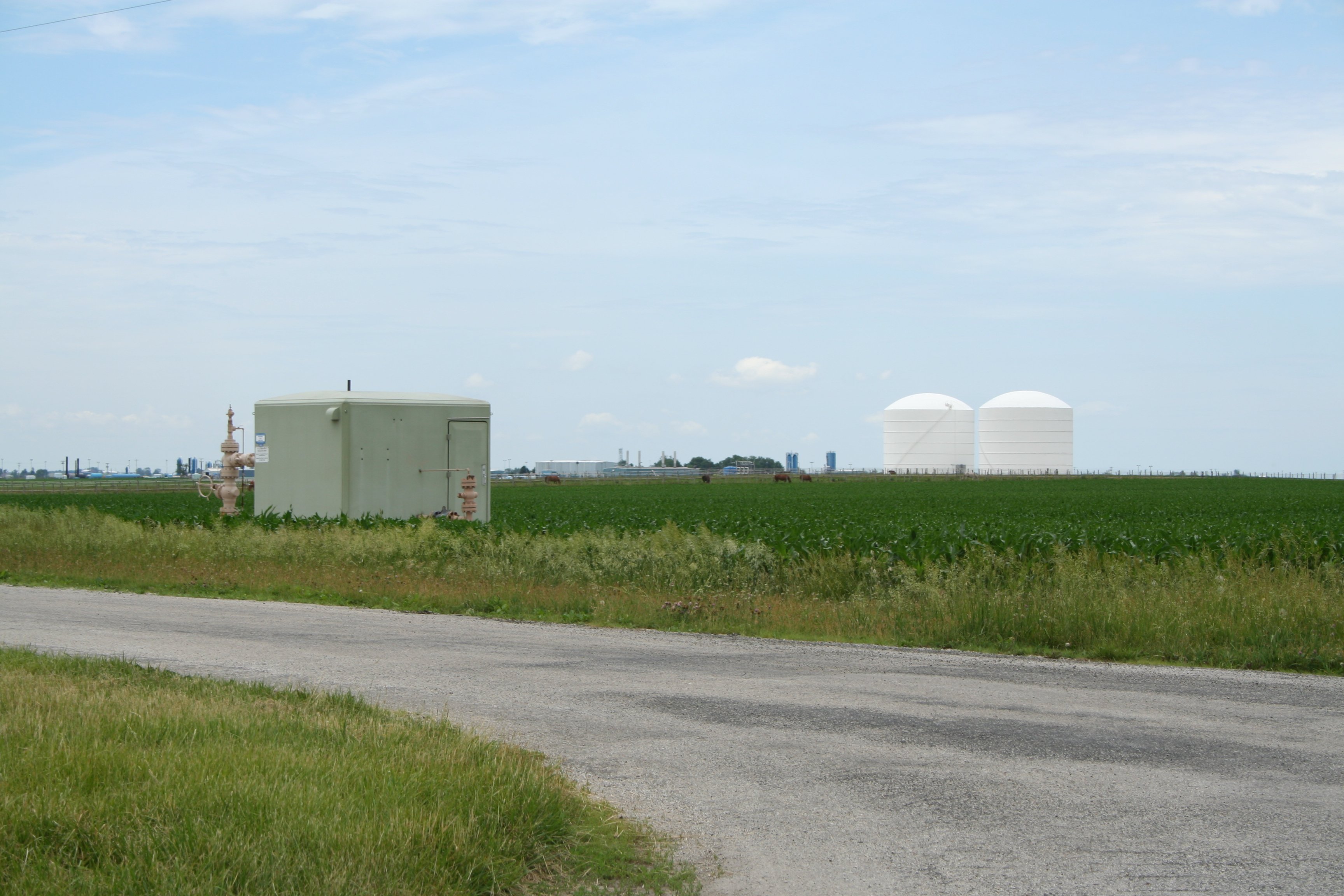
Natural gas storage area
Though the township is mostly farmland, it also contains the Manlove Field Natural gas storage area operated by Peoples Gas Light & Coke Company.() The storage facility is an underground aquifer opened in 1966 capable of storing around 150 e9cufthttp://www.isgs.uiuc.edu/servs/pubs/new-pdfs/ofs/2003/ofs2003_05.pdf of natural gas for delivery to the Chicago area via connected pipelines. Peoples gas holds property easements covering around 32000 acre for the storage facility and co-located liquefied natural gas (LNG) plant.http://www.secinfo.com/d2BY3.83.htm
Cemeteries
The township contains these cemeteries: Naylor (Section 3), Shiloh (Section 22, formerly Pancake Point), Phillippe (Section 36).
Major highways
- [[Image:Illinois 47.svg|25px]] Illinois State Route 47
Airports and landing strips
- Furtney Airport
History
Newcomb Township was created as a civil township in 1860, after Champaign County adopted the township form of government, and originally comprised two survey townships. It is said to have been named after Joseph Newcomb, an early settler. The eastern half of Newcomb Township was set off in 1867 to create Condit Township. An early post office (1857 to 1876) in northwest Condit Township, near Fisher, was called Newcomb.
References
References
- "Explore Census Data".
- "Population, Housing Units, Area, and Density: 2010 - County -- County Subdivision and Place -- 2010 Census Summary File 1". United States Census.
- "Census of Population and Housing". Census.gov.
- J. S. Lothrop, ''Champaign County Directory, 1870-1'' (Chicago: Rand, McNally & Co., 1871), pp. 131, 384.
- ''History of Champaign County, Illinois'' (Philadelphia: Brink, McDonough & Co., 1878), pp. 156, 160.
- History of Champaign County, Illinois (Philadelphia, Brink, McDonough & Co., 1878), p. 153.
This article was imported from Wikipedia and is available under the Creative Commons Attribution-ShareAlike 4.0 License. Content has been adapted to SurfDoc format. Original contributors can be found on the article history page.
Ask Mako anything about Newcomb Township, Champaign County, Illinois — get instant answers, deeper analysis, and related topics.
Research with MakoFree with your Surf account
Create a free account to save articles, ask Mako questions, and organize your research.
Sign up freeThis content may have been generated or modified by AI. CloudSurf Software LLC is not responsible for the accuracy, completeness, or reliability of AI-generated content. Always verify important information from primary sources.
Report