From Surf Wiki (app.surf) — the open knowledge base
New Jersey Route 17
State highway in Bergen County, New Jersey, US
_just_north_of_New_Jersey_State_Route_7_and_County_Route_507_(Belleville_Turnpike)_in_North_Arlington,_Bergen_County,_New_Jersey.jpg)
State highway in Bergen County, New Jersey, US
| Field | Value | ||||||
|---|---|---|---|---|---|---|---|
| state | NJ | ||||||
| type | NJ | ||||||
| route | 17 | ||||||
| map | |||||||
| map_custom | yes | ||||||
| length_mi | 27.20 | ||||||
| length_ref | |||||||
| direction_a | South | ||||||
| terminus_a | in North Arlington | ||||||
| junction | {{plainlist | ||||||
| *{{Jct | state | NJ | NJ | 3}} in Lyndhurst and Rutherford | |||
| *{{Jct | state | NJ | NJ | 120 | CR | 120 | county2=Bergen}} in East Rutherford |
| *{{Jct | state | NJ | US | 46}} in Hasbrouck Heights | |||
| *{{Jct | state | NJ | I | 80 | CR | 57 | county2=Bergen}} in Hackensack |
| *{{Jct | state | NJ | NJ | 4}} in Paramus | |||
| *{{Jct | state | NJ | GSP}} in Paramus | ||||
| *{{jct | state | NJ | US | 202}} in Mahwah | |||
| *{{jct | state | NJ | I | 287}} in Mahwah | |||
| direction_b | North | ||||||
| terminus_b | at the New York state line | ||||||
| established | 1942 (1927 as Route 2) | ||||||
| counties | Bergen | ||||||
| previous_type | NJ | ||||||
| previous_route | 15 | ||||||
| next_type | NJ | ||||||
| next_route | 18 | ||||||
| browse | {{nj browse | ||||||
| previous_type | NJ-old | ||||||
| previous_route | 1 | ||||||
| route | Route 2 | ||||||
| next_type | NJ | ||||||
| next_route | 3 |
- in Lyndhurst and Rutherford
- in East Rutherford
- in Hasbrouck Heights
- in Hackensack
- in Paramus
- in Paramus
- in Mahwah
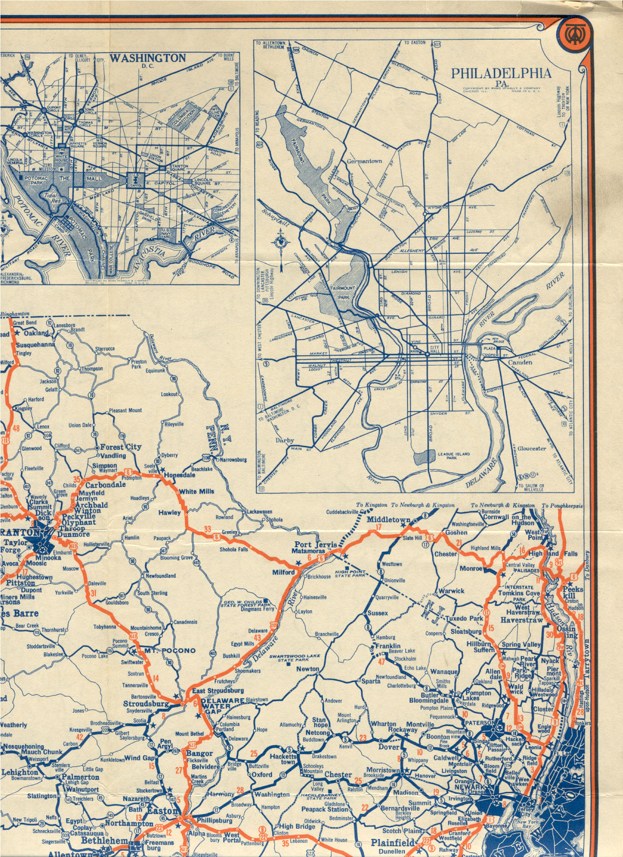
- in Mahwah Route 17 is a state highway in Bergen County, New Jersey, United States, that provides a major route from the George Washington Bridge, Lincoln Tunnel and other northeast New Jersey points to the New York State Thruway at Suffern, New York. It runs 27.20 mi from an intersection with Route 7 and County Route 507 (CR 507) in North Arlington north to the New York state line along Interstate 287 (I-287) in Mahwah, where New York State Route 17 (NY 17) continues into New York. Between Route 7 and Route 3 in Rutherford, Route 17 serves as a local road. From Route 3 north to the junction with U.S. Route 46 (US 46) in Hasbrouck Heights, the road is an arterial road with jughandles. The portion of Route 17 from US 46 to I-287 near the state line in Mahwah is a four- to six-lane arterial with all cross traffic handled by interchanges, and many driveways and side streets accessed from right-in/right-out ramps from the right lane. For three miles (5 km) north of Route 4, well over a hundred retail stores and several large shopping malls line the route in the borough of Paramus. The remainder of this portion of Route 17 features lighter suburban development. The northernmost portion of Route 17 in Mahwah runs concurrently with I-287 to the New York state line.
Prior to 1927, the route was designated as Route 17N, which was to run from Newark to the New York state line. This route had followed various local streets, including Franklin Turnpike north of Hackensack. In 1927, Route 17N became Route 2, which was designated along the portion of Route 17N between Route 7 in North Arlington to the New York border near Suffern, New York. This route was moved to a multilane divided highway alignment north of Rutherford by 1937. Route 2 became Route 17 in 1942 to match the designation of NY 17 for defense purposes during World War II. The entire Route 17 corridor was once planned to be a freeway until the 1960s, and later plans to extend the route south of Route 3 to I-280 in 1972 and to the New Jersey Turnpike in 1987 both failed. Over the years, the portion of Route 17 north of Route 3 has seen many improvements, including the widening of much of the road to six lanes and the removal of most at-grade intersections in the 1950s as well as more recent improvements to the interchanges with Route 4 in Paramus in 1999 and Essex Street/Maywood Avenue on the Lodi/Maywood border in 2008. The route is currently undergoing improvements between Route 3 and US 46 and is expected to see improvements from Williams Avenue in Hasbrouck Heights to south of Route 4 in Paramus.
Route description
Route 17 begins at an intersection with Route 7 and CR 507 (Belleville Turnpike) on the border of Kearny, Hudson County and North Arlington, Bergen County. It heads north through North Arlington on Ridge Road, a two-lane local street that passes by businesses and the Holy Cross Cemetery on the east side of the road. It intersects CR 26 (Jauncey Avenue) and crosses into Lyndhurst at the Lincoln Avenue intersection. In Lyndhurst, Route 17 intersects CR 28 (Kingsland Avenue) and passes over NJ Transit's Main Line at Kingsland station. At the intersection of CR 30 (Rutherford Avenue), which runs along the border of Lyndhurst and Rutherford, the route turns east onto Rutherford Avenue to parallel the Route 3 freeway to the south and head for the edge of the New Jersey Meadowlands, widening to a four-lane arterial road at the intersection with Orient Way. Route 17 makes a curve to the south, crossing entirely into Lyndhurst, and makes a hairpin turn to the north, widening to a divided highway. The road then crosses into Rutherford and comes to the Route 3 interchange.
Past the Route 3 interchange, Route 17 continues north as a six-lane arterial road with intersections featuring jughandles. It passes through residential and commercial areas of Rutherford, intersecting CR 32 (Meadow Road) before crossing under NJ Transit's Bergen County Line and into East Rutherford, where it intersects CR S32 (Union Avenue) before interchanging with Route 120 and CR 120 (Paterson Plank Road). The route runs through Carlstadt, where it crosses into Wood-Ridge. Route 17 comes to an interchange with CR 36 (Moonachie Road) before entering Hasbrouck Heights. With the exception of a short stretch in Rutherford with a median strip, this section of Route 17 is divided by a jersey barrier.
_in_Paramus,_Bergen_County,_New_Jersey.jpg)
In Hasbrouck Heights, the lanes split with the Bendix Diner located between the traffic lanes at the intersection of CR 40 (Williams Avenue), the northernmost traffic light on Route 17. Route 17 continues north through commercial areas, crossing into Rochelle Park where the route passes over New York, Susquehanna and Western Railway's New Jersey Subdivision line and interchanges with CR 62 (Passaic Street) before entering Paramus.
At the CR 61 (Farview Avenue) interchange, the road regains a third lane in each direction. Route 17 passes by the Westfield Garden State Plaza shopping mall on the west side of the road before coming to an interchange with Route 4. Route 17 is flanked by businesses and shopping malls for most of its length in Paramus. Following Route 4, the road has an interchange with Century Road. Route 17 comes to a partial interchange with the Garden State Parkway, with access limited to northbound-to-northbound and southbound-to-southbound movements between the two roads. North of the Garden State Parkway, Route 17 features interchanges for Midland Avenue, the Paramus Park shopping mall and an industrial park, and CR 80 (Ridgewood Avenue) just north of the Fashion Center shopping mall.

Route 17 crosses into Ridgewood and interchanges with CR 110 (Linwood Avenue), where the penetration of businesses along the side of the road lessens dramatically. In Ridgewood, the road interchanges with CR 62 (Paramus Road), crosses the Saddle River, and intersects a separate segment of CR 62 (Franklin Turnpike) and West Saddle River Road. This intersection, along with other at-grade intersections along this portion of Route 17, is a right-in/right-out (RIRO) intersection with cross traffic blocked by a jersey barrier. Past here, there is a park and ride lot serving Short Line commuter and intercity buses accessible from the southbound direction. There is another RIRO intersection for CR 112 (Race Track Road) on the Ho-Ho-Kus border. Upon crossing into Ho-Ho-Kus, the businesses stop along Route 17 and it comes to an interchange with CR 502 (Hollywood Avenue). The route enters Waldwick and interchanges with CR 77 (Sheridan Avenue). It enters Saddle River, continuing north to an interchange with CR 90 (Allendale Avenue).
Route 17 enters Allendale, with businesses resuming along the road. It enters Upper Saddle River before running through Ramsey, where the road crosses back into Upper Saddle River. The route comes to an interchange with CR 81 (Lake Street/Crescent Avenue), where it crosses back into Ramsey. In Ramsey, Route 17 turns to the northwest and features a RIRO for CR 83 (Airmount Avenue), an interchange with CR 507 (Franklin Turnpike), and an interchange for Island Avenue/Spring Street. The route passes over NJ Transit's Bergen County Line/Main Line near the Ramsey Route 17 station and enters Mahwah. In Mahwah, Route 17 intersects CR 85 (Island Road) and CR 100 (Ramapo Avenue). North of Ramapo Avenue, Route 17 features an interchange with US 202 (Ramapo Valley Road) and crosses the Ramapo River. Route 17 has an interchange with Mountainside Avenue and Crossroads Boulevard just before merging with I-287, which it follows to the New York state line, where the road continues into Hillburn, Rockland County, as I-287 and NY 17, intersecting I-87 (New York State Thruway) shortly after the state line.
History
Route 17 follows the course of the Haginsack Trail, an old Lenape Trail running north from what is now Newark to Suffern, New York, and possibly beyond. The Franklin Turnpike was legislated in 1806 to run from Hackensack north to the New York state line at Suffern. This road was incorporated into two auto trails: the Liberty Highway, signed in 1918 to run from Cleveland, Ohio, to New York City; and the West Shore Route, which ran from New York City to Albany. Both routes followed the same roads in New Jersey, coming in from Suffern, along the Franklin Turnpike, Paramus Road and Passaic Avenue, and local roads through Teaneck and Englewood before taking a ferry at Englewood Cliffs to New York.
_in_Lodi,_Bergen_County,_New_Jersey.jpg)
Route 17N was defined in 1923 to run "from Newark, by way of Kearny, Rutherford, Hackensack, Ridgewood and Ramsey to the New York State Line". However, only the road north of Route 10 (Essex Street) in Hackensack was shown on the 1925 New Jersey State Highway Department Official State Map, running north along existing roads—First Street and the Franklin Turnpike (now partly called Passaic Street and Paramus Road)—to the state line. The 1927 Tydol Trails Map shows the route running south to Newark, continuing south across Essex Street on Polifly Road, Terrace Avenue and Hackensack Street to East Rutherford, where it followed Meadow Road, Rutherford Avenue, Ridge Road, Kearny Avenue, 4th Street, and the Newark Turnpike to Newark. In 1924, New York had numbered its state routes, and the extension of NY 17N north and west to Westfield, New York was numbered as NY 17, as shown in part on the Tydol Trails Map. In the 1927 New Jersey state highway renumbering, Route 17N received the Route 2 designation, and was defined to run from Route 7 in North Arlington to the New York state line near Suffern, New York. By 1937, the whole old road north of Rutherford was bypassed by a new four-lane divided highway with the exception of the 1927 bridge over the Saddle River in Ridgewood, north of the Paramus Road interchange. This old alignment joins at Paramus Road and leaves just north of the bridge at Franklin Turnpike, which only has access to the southbound lanes through a RIRO intersection. In 1930, New York had renumbered its state routes; the extension of Route 2 north and west into New York had remained NY 17. New Jersey had not assigned a Route 17 in the 1927 renumbering, and so in March 1942, Route 2 was numbered Route 17 to match and provide a single number for military caravans during World War II.
Since at least 1936, Route 17 (then Route 2) was planned for upgrading to a freeway, not only north of US 46, but also south to the Newark area. The first plan for a freeway along the length of the route was halted due to World War II, and the second plan for a freeway in the 1960s was cancelled due to the disruption it was projected to cause to businesses and residents along its path. In 1972, there were plans to extend Route 17 past Route 3 to I-280 in Harrison. The plans for this 5 mi, $50 million extension were cancelled due to the defeat of a transportation bond that would have funded the proposed freeway. The interchange at Route 3 was built to allow for this southern extension. Another extension of Route 17 to the New Jersey Turnpike was brought up in 1987, but was ultimately scrapped.
_in_Mahwah_Township,_Bergen_County,_New_Jersey.jpg)
The road north of Route 3 was gradually rebuilt to higher standards between 1953 and 1960; most of this portion of Route 17 was upgraded to six lanes and most at-grade intersections were removed north of I-80 in Lodi. The northern 0.39 mi of Route 17 in Mahwah was incorporated into Interstate 287 in 1994. The Route 4 interchange in Paramus was rebuilt at a cost of $120 million in 1999, replacing the 1932 cloverleaf interchange by adding several flyover ramps. In 2008, construction was completed at the interchange with Essex Street on the Lodi–Maywood border, which involved replacing the Essex Street bridge over Route 17 and improving the interchange ramps, at a cost of $68 million. On January 14, 2008, Governor Jon Corzine announced plans to reduce congestion and improve safety along the portion of Route 17 between Williams Avenue in Hasbrouck Heights to south of Route 4 in Paramus by making it a consistent six lanes.
Route 17 has been the object of several studies exploring a Bergen BRT, a bus rapid transit system that would potentially alleviate some traffic congestion and decrease automobile dependency. While funding has not been identified, the potential routes of the system have centered around the vicinity radiating from the malls of Paramus.
On December 8, 2014, the portion of Route 17 in Ramsey was named the Staff Sergeant Timothy R. McGill Memorial Highway in honor of a Ramsey High School graduate, Marine Corps veteran, and local firefighter. On May 11, 2015, the portion of Route 17 in Waldwick was named the Christopher Goodell Memorial Highway in honor of a Waldwick police officer who died when he was struck by a tractor trailer on the highway in July 2014.
Major intersections
References
References
- "Route 17 straight line diagram". [[New Jersey Department of Transportation]].
- "Overview of New Jersey Route 17".
- (January 14, 2008). "Governor Corzine announces congestion relief on Route 17". [[New Jersey Department of Transportation]].
- ((Rand McNally & Co.)). (1920). "Rand McNally Official 1920 Auto Trails Map: New York City and Vicinity". Rand McNally & Co..
- State of New Jersey, Laws of 1923, Chapters 5, 177, 181, 183, 184.
- Tydol Trails. (1927). "Map of New Jersey". Tyrol Trails.
- State of New Jersey, Laws of 1927, Chapter 319.
- "1927 New Jersey Road Map". State of New Jersey.
- (1937). "Map of Pennsylvania and New Jersey". Mid-West Map Co..
- (March 20, 1942). "Road Numbers Changed". [[New York Times]].
- (May 1964). "Expressway Plans". Regional Plan Association News.
- (1972). "Master Plan for Transportation". New Jersey Department of Transportation.
- (1987). "Turnpike Widening: Final Environmental Impact Statement". New Jersey Turnpike Authority.
- (2006). "Route 17 Straight Line Diagram". New Jersey Department of Transportation.
- (November 20, 1993). "Missing Link of Interstate Opens, Despite Lawsuit". [[The New York Times]].
- (November 24, 1999). "Governor Cuts Ribbon for Route 4 and 17 Interchange". [[New Jersey Department of Transportation]].
- "Route 17/Essex Street Interchange Improvements Overview". [[New Jersey Department of Transportation]].
- Rouse, Karen. (September 19, 2008). "$14.7M traffic project begins along Route 17". [[The Record (Bergen County).
- STV Group. (April 2020). "Final Report". Route 17 Bergen Rapid Transit Study.
- (2009). "Northeast New Jersey Metro Mobility Study". NJT, NJTPA, Coach USA.
- [http://www.state.nj.us/transportation/capital/tcp12/sec3/county/bergen.pdf FY 2012 TRANSPORTATION CAPITAL PROGRAM: New Jersey Department of Transportation Projects]
- Parsons Brinkerhoff. (April 2020). "Vision Bergen: Blueprint For Our Future Networking Transportation To Make It Work Route 17". Bergen County.
- Ensslin, John. (October 11, 2011). "NJ Transit wants to explore bus only lanes and traffic lights in Bergen County". The Record.
- Department of Planning & Economic Development. "Clarification BRTrfp". Bergen County, New Jersey.
- (December 8, 2014). "Cardinale Bill Renaming Portion of Route 17 as 'Staff Sergeant Timothy R. McGill Memorial Highway' Advanced".
- (May 12, 2015). "Route 17 in Waldwick renamed for slain officer Christopher Goodell".
This article was imported from Wikipedia and is available under the Creative Commons Attribution-ShareAlike 4.0 License. Content has been adapted to SurfDoc format. Original contributors can be found on the article history page.
Ask Mako anything about New Jersey Route 17 — get instant answers, deeper analysis, and related topics.
Research with MakoFree with your Surf account
Create a free account to save articles, ask Mako questions, and organize your research.
Sign up freeThis content may have been generated or modified by AI. CloudSurf Software LLC is not responsible for the accuracy, completeness, or reliability of AI-generated content. Always verify important information from primary sources.
Report