From Surf Wiki (app.surf) — the open knowledge base
Nebraska Department of Transportation
U.S. state government agency
U.S. state government agency
| Field | Value |
|---|---|
| agency_name | Nebraska Department of Transportation (NDOT) |
| logo | Nebraska Department of Transportation-logo.png |
| logo_width | 220 |
| formed | |
| preceding1 | Nebraska Department of Roads |
| preceding2 | Nebraska Department of Aeronautics |
| jurisdiction | State of Nebraska |
| headquarters | 1500 Highway 2 |
| Lincoln, Nebraska | |
| chief1_name | Vicki Kramer |
| chief1_position | Director |
| website |
Lincoln, Nebraska The Nebraska Department of Transportation (Nebraska DOT or NDOT) is the state government agency charged with building and maintaining the state highways in the U.S. state of Nebraska, as well as the state's airports. The main headquarters of the agency is located in Lincoln, the capital city. There are currently eight NDOT district offices located across the state.
The agency was formed on July 1, 2017, following the merger of the Nebraska Department of Roads and the Nebraska Department of Aeronautics, the last of all 50 US states to do something of the like.
Highways and roads
The Department of Transportation manages the Nebraska State Highway System, including the U.S. Highways and Interstate Highways within the state.
Registered historic sites
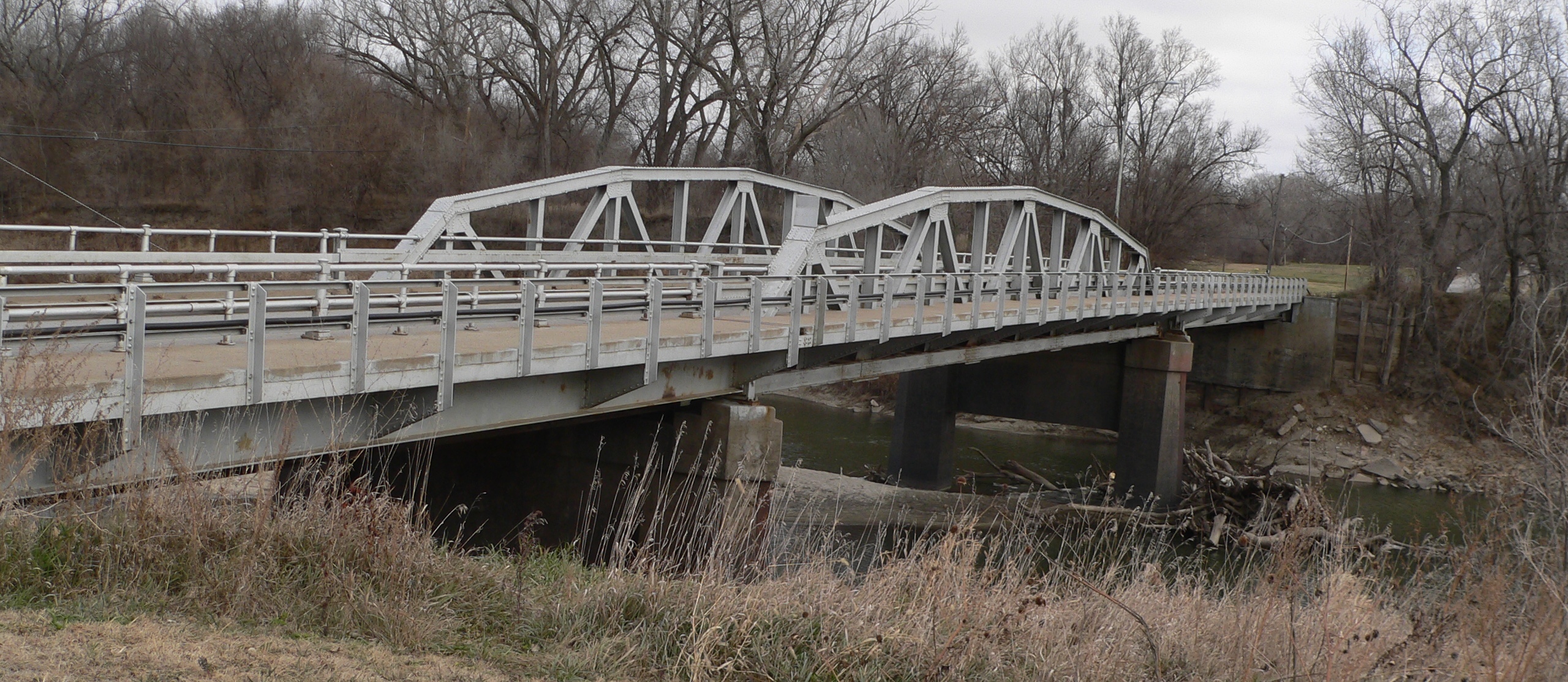
_from_SE.JPG)

More than 20 bridges and other public works projects built or designed by the Nebraska Department of Transportation and its predecessors, including the Nebraska Department of Roads and the Nebraska Bureau of Roads & Bridges, have been listed on the U.S. National Register of Historic Places. Many were registered after a 1996 study seeking to inventory historic bridges in Nebraska and pursuant to a Multiple Property Submission titled "Highway Bridges in Nebraska." The projects listed on the National Register include:
- Ashland Bridge (1936), Silver Street over Salt Creek, Ashland, Nebraska (Nebraska Bureau of Roads & Bridges)
- Berry State Aid Bridge (1920–1921), county road over the Niobrara River, 10 mi northeast of Valentine, Nebraska (Nebraska Bureau of Roads & Bridges)
- Brownson Viaduct (1942), Nebraska Highway Spur 17A over U.S. Route 30 and Union Pacific Railroad tracks, .8 mi northwest of Brownson, Nebraska (Nebraska Bureau of Highways)
- Bryan Bridge (1932), U.S. Route 20, Valentine, Nebraska (Nebraska Division of Bridge Design)
- Burwell Bridge (1940–1941), Nebraska Highway 11 over the North Loup River, Burwell, Nebraska (Nebraska Bureau of Roads & Bridges)
- Columbus Loup River Bridge (1932–1933), U.S. Route 30 over the Loup River, Columbus, Nebraska (Nebraska Bureau of Roads & Bridges)
- Deering Bridge (1916), county road over School Creek, 2 mi north, 2 mi east of Sutton, Nebraska (Nebraska Bureau of Roads & Bridges)
- Franklin Bridge (1932, 1935), Nebraska Highway 10 over the Republican River, 1 mi south of Franklin, Nebraska (Nebraska Bureau of Roads & Bridges)
- Henry State Aid Bridges (1919), Nebraska Highway 86 over the North Platte River, .6 mi south of Henry, Nebraska (Nebraska Bureau of Roads & Bridges)
- Kilgore Bridge (1915), Nebraska Highway 10 over North Channel Platte River, 7.1 mi southeast of Kearney, Nebraska (Nebraska Dept. of Roads)
- Lewellen State Aid Bridge (1926–1927), county road over North Platte River, 1 mi south of Lewellen, Nebraska (Nebraska Bureau of Roads & Bridges)
- Lewis Bridge (1922), county road over the Keya Paha River, 13.6 mi northeast of Springview, Nebraska and Wewela, South Dakota (Nebraska Bureau of Roads & Bridges)
- Lisco State Aid Bridge (1927–1928), county road over the North Platte River, .6 mi south of Lisco, Nebraska (Nebraska Bureau of Roads & Bridges)
- Main Street Bridge (1915, 1920), Main St. over W. Papillion Creek, Elkhorn, Nebraska (State of Nebraska)
- Red Cloud Bridge (1935), Nebraska Highway 281 over the Republican River, 2 mi south of Red Cloud, Nebraska (Nebraska Highway Dept.)
- Roscoe State Aid Bridge (1934–1935), State Link 51B over the South Platte River, .5 mi southeast of Roscoe, Nebraska (Nebraska Bureau of Roads & Bridges)
- Saddle Creek Underpass (1934), U.S. Route 6 (Dodge St.) over Saddle Creek Rd., Omaha, Nebraska (State of Nebraska)
- Stewart Bridge (1915), county road over Big Sandy Creek, 1 mi east and 8 mi north of Oak, Nebraska (Nebraska Highway Dept.)
- Sutherland State Aid Bridge, county road over the North Platte River, 4.2 mi north of Sutherland, Nebraska (Nebraska Bureau of Roads & Bridges)
- Tekamah City Bridge (1934), U.S. Route 75 over Tekamah Creek, Tekamah, Nebraska (Nebraska Dept. of Roads)
- York Subway (1938–1939), 14th and 15th Streets and Burlington Northern Railroad tracks over U.S. Route 81, York, Nebraska (Nebraska Bureau of Roads & Bridges)
References
References
- "Director's Office - Nebraska Department of Transportation".
- Schneweis, Kyle. (Spring 2017). "From the Director: New Beginnings Ahead for Department of Roads". Nebraska Department of Roads.
- {{NRISref
- "Highway Bridges in Nebraska MPS".
- "Historic Preservation". Nebraska Department of Roads.
- (May 2007). "National Register Evaluation of Nebraska Bridges 1947 to 1965". Mead Hunt for Nebraska Department of Roads.
- {{usurped
- {{usurped
- {{usurped
- {{usurped
- {{usurped
- {{usurped
- {{usurped
This article was imported from Wikipedia and is available under the Creative Commons Attribution-ShareAlike 4.0 License. Content has been adapted to SurfDoc format. Original contributors can be found on the article history page.
Ask Mako anything about Nebraska Department of Transportation — get instant answers, deeper analysis, and related topics.
Research with MakoFree with your Surf account
Create a free account to save articles, ask Mako questions, and organize your research.
Sign up freeThis content may have been generated or modified by AI. CloudSurf Software LLC is not responsible for the accuracy, completeness, or reliability of AI-generated content. Always verify important information from primary sources.
Report