From Surf Wiki (app.surf) — the open knowledge base
Namcha Barwa
Mountain in Tibet
Mountain in Tibet
| Field | Value |
|---|---|
| name | Namcha Barwa |
| photo | Namcha Barwa from the west.jpg |
| photo_caption | Namcha Barwa from the west, from Zhibai observation platform |
| elevation_m | 7782 |
| elevation_ref | |
| Ranked 27th | |
| prominence_m | 4106 |
| prominence_ref | |
| Ranked 19th | |
| range | Namcha Barwa Himal |
| listing | Ultra |
| country | China |
| region_type | Region |
| region | Tibet Autonomous Region |
| district_type | Division |
| district | Nyingchi |
| part_type | County |
| part | Mêdog |
| map_image | |
| coordinates | |
| coordinates_ref | |
| first_ascent | 1992, China–Japan expedition |
| easiest_route | SSW ridge on rock, snow and ice |
Ranked 27th Ranked 19th
Namcha Barwa or Namchabarwa (; Chinese: 南迦巴瓦峰, Pinyin: Nánjiābāwǎ Fēng) is a mountain peak lying in Tibet in the region of Pemako. The traditional definition of the Himalaya extending from the Indus River to the Brahmaputra would make it the eastern anchor of the entire mountain chain, and it is the highest peak of its own section as well as Earth's easternmost peak over 7600 m.{{Cite book It lies in the Nyingchi Prefecture of Tibet. It is the highest peak in the 180 km long Namcha Barwa Himal range (also called the Namjagbarwa syntaxis or Namjagbarwa Group Complex), which is considered the easternmost syntaxis/section of the Himalaya in southeastern Tibet and northeastern India where the Himalaya are said to end, although high ranges (Hengduan Mountains on the China–Myanmar border) actually continue another 300 km to the east.
Location
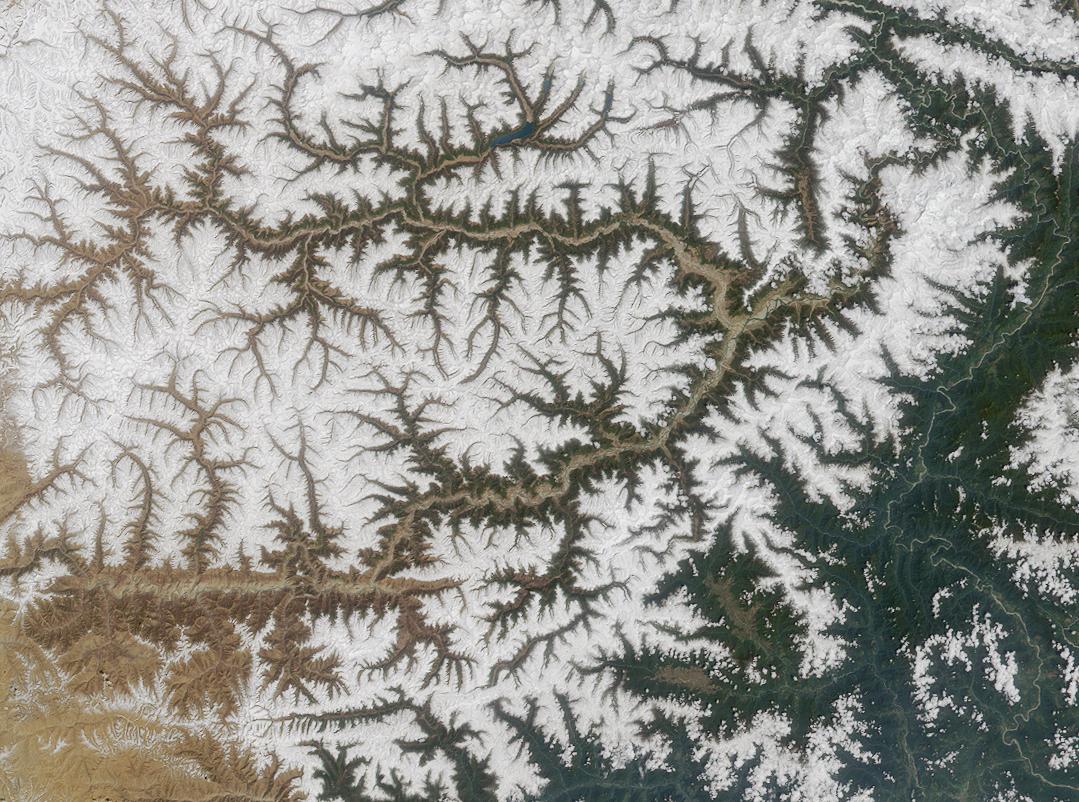
Namcha Barwa is in an isolated part of southeastern Tibet rarely visited by outsiders. It stands inside the Great Bend of the Yarlung Tsangpo River as the river enters its notable gorge across the Himalaya, emerging as the Siang and becoming the Brahmaputra. Namcha Barwa's sister peak Gyala Peri at 7294 m rises across the gorge 22 km to the north-north-west (NNW).
Notable features
Namcha rises 5000–6800 m above the Yarlung Tsangpo. After 7795 m Batura Sar in the Karakoram was climbed in 1976, Namcha Barwa became the highest unclimbed independent mountain in the world, until it was finally climbed in 1992.
In addition to being the 27th highest mountain in the world, Namcha Barwa is the third most prominent peak in the Himalayas after Mount Everest and Nanga Parbat.
Frank Kingdon-Ward described in the 1920s "a quaint prophecy among the Kongbo Tibetans that Namche Barwa will one day fall into the Tsangpo gorge and block the river, which will then turn aside and flow over the Doshong La [pass]. This is recorded in a book by some fabulous person whose image may be seen in the little gompa [Buddhist monastery] at Payi, in Pome." (126–127) (See Beyul for the reason behind the prophecy and Padmasambhava or another Tertön for the "fabulous person whose image may be seen in the little gompa").
Climbing history
Namcha Barwa was located in 1912 by British surveyors but the area remained virtually unvisited until Chinese alpinists began attempting the peak in the 1980s. Although they scouted multiple routes, they did not reach the summit.{{Cite book | access-date = May 19, 2011 | access-date = May 19, 2011 | archive-date = July 17, 2012 | archive-url = https://web.archive.org/web/20120717041155/http://www.jac.or.jp/english/kiroku/1992/namc92_e.htm | url-status = dead | access-date = 2006-02-24 | archive-date = 2012-07-17 | archive-url = https://web.archive.org/web/20120717041155/http://www.jac.or.jp/english/kiroku/1992/namc92_e.htm | url-status = dead Eleven climbers reached the summit. U.K. Alpine Club's Himalayan Index lists no further ascents.{{Cite web
References
References
- "High Asia II: Himalaya of Nepal, Bhutan, Sikkim and adjoining region of Tibet". Peaklist.org.
- F.M. Bailey. (1914). "Exploration on the Tsangpo or upper Brahmaputra". The Geographical Journal.
- ''Namjagbarwa Mountaineering Map'' (1:50,000), Chinese Research Institute of Surveying and Mapping, China Mountaineering Association, 1990, {{ISBN. 7-5031-0538-0.
- "High Asia digital elevation models".
- "HIGH ASIA I: The Karakoram, Pakistan Himalaya and India Himalaya (north of Nepal)". Peaklist.org.
- F. Kingdon Ward. (1926). "The Riddle of the Tsangpo Gorges". Edward Arnold.
- Beyul are secret sacred valleys in Tibetan Buddhism, the knowledge of which is recorded on the scrolls and kept hidden in caves, monasteries, and under the rock guarded by the Buddhist monks. Valleys were blessed by the 8th century Indian monk Padmasambhava who brought Buddhism to Tibet and China. Tertön is a person who discovers or has the knowledge of these secret valleys. Padmasambhava or some other Buddhist monk is likely that person who made the prophecy.
This article was imported from Wikipedia and is available under the Creative Commons Attribution-ShareAlike 4.0 License. Content has been adapted to SurfDoc format. Original contributors can be found on the article history page.
Ask Mako anything about Namcha Barwa — get instant answers, deeper analysis, and related topics.
Research with MakoFree with your Surf account
Create a free account to save articles, ask Mako questions, and organize your research.
Sign up freeThis content may have been generated or modified by AI. CloudSurf Software LLC is not responsible for the accuracy, completeness, or reliability of AI-generated content. Always verify important information from primary sources.
Report