From Surf Wiki (app.surf) — the open knowledge base
Nabiac, New South Wales
| Field | Value |
|---|---|
| type | town |
| name | Nabiac |
| native_name | |
| state | nsw |
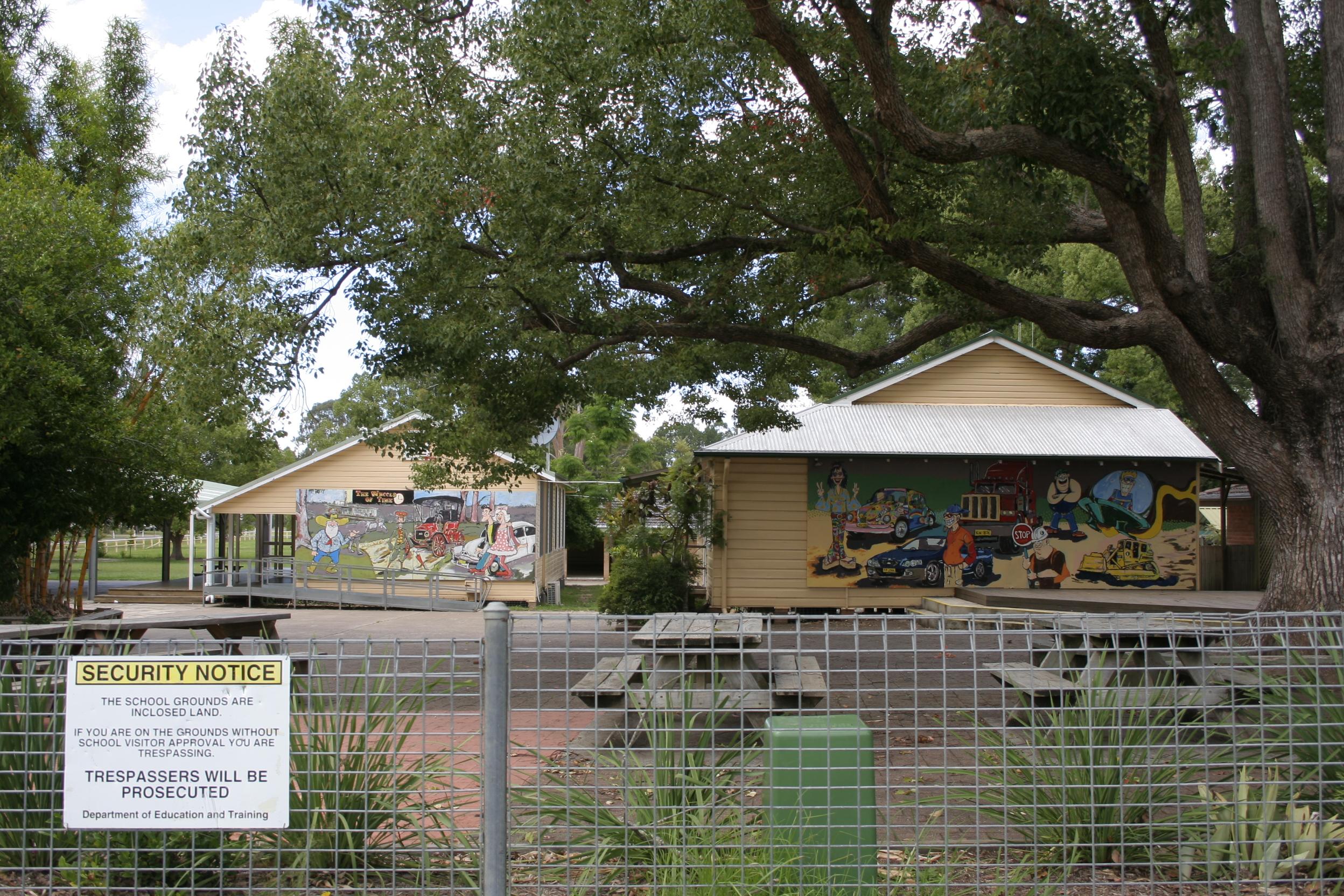
| image | Nabiac.JPG |
| caption | Nabiac shops |
| coordinates | |
| pushpin_label_position | left |
| pop | 1294 |
| pop_year | |
| pop_footnotes | |
| postcode | 2312 |
| elevation | 9 |
| dist1 | 281 |
| dir1 | NNE |
| location1 | Sydney |
| dist2 | 29 |
| dir2 | SSW |
| location2 | Taree |
| dist3 | 23 |
| dir3 | NW |
| location3 | Forster |
| dist4 | 45 |
| dir4 | NE |
| location4 | Bulahdelah |
| dist5 | 142 |
| dir5 | NNE |
| location5 | Newcastle |
| lga | Mid-Coast Council |
| stategov | Myall Lakes |
| fedgov | Lyne |
| near-nw | Hillville |
| near-n | Possum Brush |
| near-ne | Failford |
| near-e | Darawank |
| near-se | Tuncurry |
| near-s | Minimbah |
| near-sw | Wang Wauk |
| near-w | Dyers Crossing |
| timezone-dst = | utc-dst = | near-nw = Hillville | near-n = Possum Brush | near-ne = Failford | near-e = Darawank | near-se = Tuncurry | near-s = Minimbah | near-sw = Wang Wauk | near-w = Dyers Crossing
Nabiac ( ) is a small town on the Mid North Coast, New South Wales, Australia in Mid-Coast Council. It is north-west of Forster, and south of Taree. At the , the population of Nabiac was 1,294.
Nabiac is the central town of the Wallamba Valley. As is typical of small North Coast towns, it developed in the second half of the 19th century as a small river port (later called Bullocks Wharf on the eastern edge of the town) for the hardwood-cutting (mainly Australian red cedar) trade. Later as the valley was cleared, small-scale dairying and corn-growing became dominant but its importance has since declined. At first, milk was mainly bought by the dairy at Dyers Crossing (about 6 km west of Nabiac). Later fresh milk was also supplied to the Sydney market via the Sydney Milk Board.
The first post office in the area was established in May 1870 on the south side of the Wallamba and was initially called "Cape Hawke Post Office" after Cape Hawke, which is 30 km away. It was renamed "Clarkson's Crossing" in February 1880 and Nabiac on 1 June 1894. The Pacific Highway was rerouted through Nabiac in 1963. This included the opening of a bridge over the Wallamba to replace Clarkson's Crossing on 15 November 1958. Since then Nabiac has steadily become more of a highway service town and tourist stopping point.
The poet Les Murray was born in Nabiac, although his family lived in nearby Bunyah. He travelled to school in Nabiac for his primary and early high school education.
References
References
- "FirstVoices".
- "2021 Nabiac, Census All persons QuickStats {{!}} Australian Bureau of Statistics".
- (2020). "A Historical Perspective". nabiac.com.
- New Route of the Pacific Highway ''[[Main Roads (periodical). Main Roads]]'' March 1964 page 83
- (9 May 2019). "Obituary: Les Murray died on April 29th". [[The Economist]].
This article was imported from Wikipedia and is available under the Creative Commons Attribution-ShareAlike 4.0 License. Content has been adapted to SurfDoc format. Original contributors can be found on the article history page.
Ask Mako anything about Nabiac, New South Wales — get instant answers, deeper analysis, and related topics.
Research with MakoFree with your Surf account
Create a free account to save articles, ask Mako questions, and organize your research.
Sign up freeThis content may have been generated or modified by AI. CloudSurf Software LLC is not responsible for the accuracy, completeness, or reliability of AI-generated content. Always verify important information from primary sources.
Report