From Surf Wiki (app.surf) — the open knowledge base
Na Khun Yai
| Field | Value |
|---|---|
| name | Na Khun Yai |
| native_name | นาคูณใหญ่ |
| type | Subdistrict |
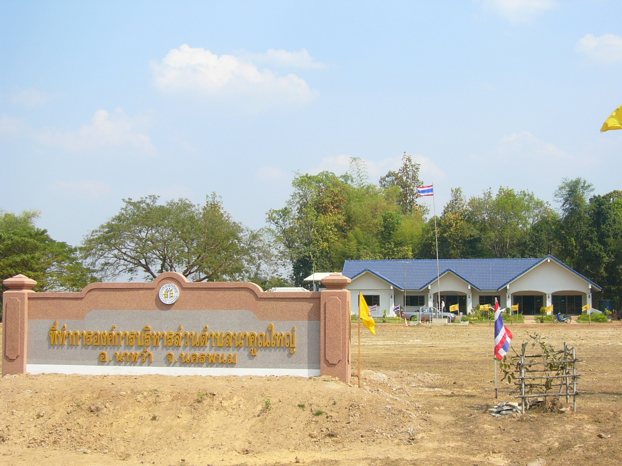
| image_map | |
| mapsize | 200px |
| subdivision_type | Country |
| subdivision_name | Thailand |
| subdivision_type1 | Province |
| subdivision_name1 | Nakhon Phanom |
| subdivision_type2 | District |
| subdivision_name2 | Na Wa |
| unit_pref | Metric |
| area_total_km2 | 17.734 |
| population_total | 4565 |
| population_as_of | 2005 |
| population_density_km2 | auto |
| postal_code_type | Postal Code |
| geocode | 480904 |
| postal_code | 48180 |
Na Khun Yai (, ) is a subdistrict (tambon) in Nakhon Phanom Province, administered by Na Wa District in northeastern Thailand (Isan).
The village is about 900 km north of Bangkok. Na Khun Yai is underdeveloped, with agriculture as the main economic activity.
Geography
Neighboring subdistricts are Phon Suang (Si Songkhram District) to the north and east and Na Wa to the south and west.
History
The subdistrict was created on 1 May 1978, when five villages were split off from Na Wa.
Administration
The tambon is administered by a tambon administrative organization (TAO), which was created on 13 February 1997. It is subdivided into seven villages (mubans).
| 7. | Ban Muang | บ้านม่วง |
|---|
References
References
This article was imported from Wikipedia and is available under the Creative Commons Attribution-ShareAlike 4.0 License. Content has been adapted to SurfDoc format. Original contributors can be found on the article history page.
Ask Mako anything about Na Khun Yai — get instant answers, deeper analysis, and related topics.
Research with MakoFree with your Surf account
Create a free account to save articles, ask Mako questions, and organize your research.
Sign up freeThis content may have been generated or modified by AI. CloudSurf Software LLC is not responsible for the accuracy, completeness, or reliability of AI-generated content. Always verify important information from primary sources.
Report