From Surf Wiki (app.surf) — the open knowledge base
Municipality of Ashfield
Former local government area in New South Wales, Australia

Former local government area in New South Wales, Australia
| Field | Value |
|---|---|
| type | lga |
| name | Municipality of Ashfield |
| state | nsw |
| image | Ashfield lga sydney.png |
| caption | Location in Metropolitan Sydney, 1871–2016 |
| coordinates | |
| pop | 41214 |
| pop_year | |
| pop_footnotes | |
| density | 4971.5 |
| abolished | |
| area | 8 |
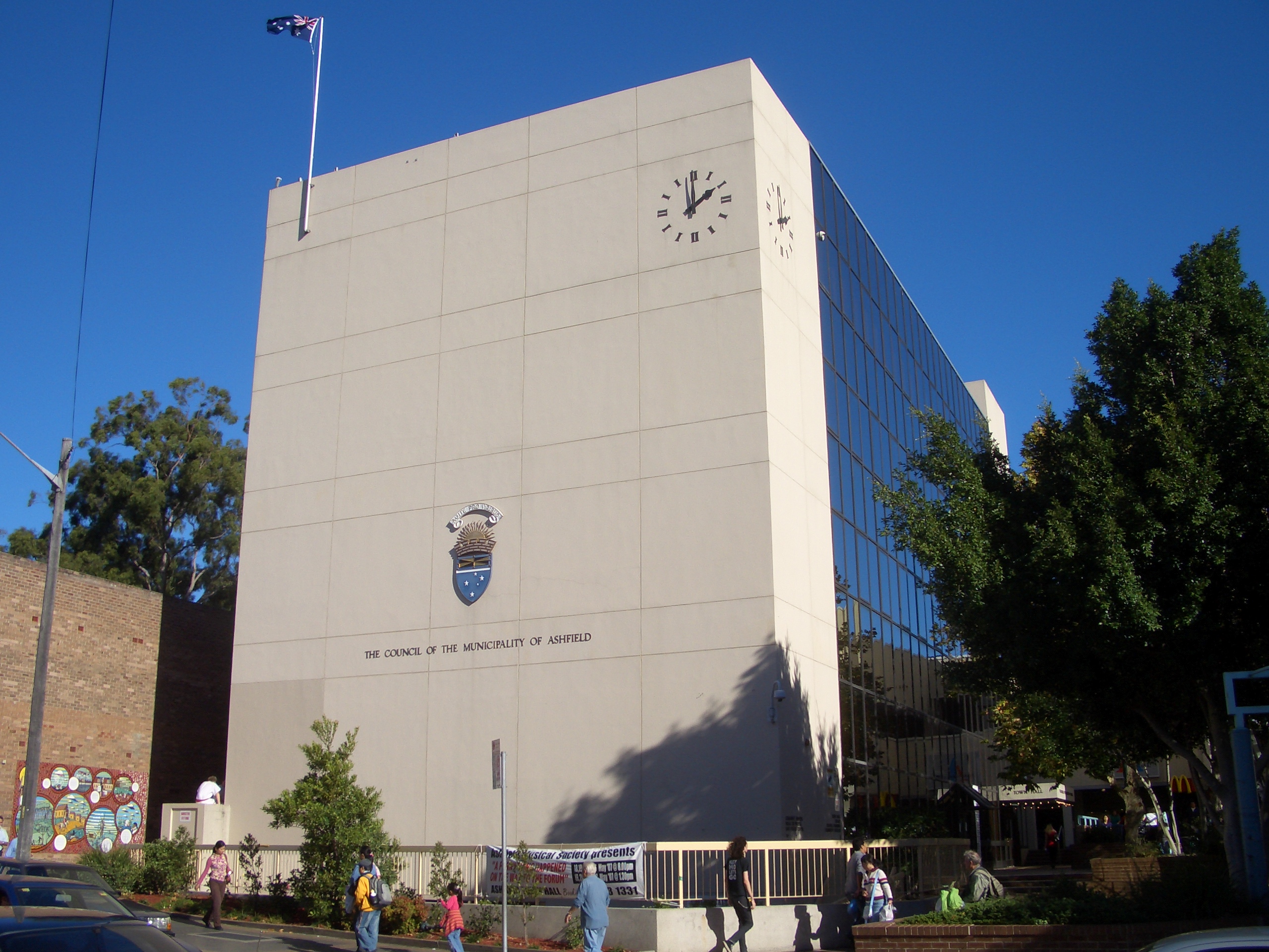
| seat | Civic Centre, Ashfield |
| region | Inner West |
| logo | Ashfield Council logo 2008-2016.gif |
| near-n | Iron Cove |
| near-ne | Leichhardt |
| near-e | Leichhardt |
| near-se | Petersham/ |
| Marrickville | |
| near-s | Canterbury |
| near-sw | Canterbury |
| near-w | Burwood |
| near-nw | Canada Bay |
| est | 28 December 1871 |
| near-n = Iron Cove | near-ne =Leichhardt | near-e = Leichhardt | near-se = Petersham/ Marrickville | near-s =Canterbury | near-sw = Canterbury | near-w = Burwood | near-nw = Canada Bay The Municipality of Ashfield was a local government area in the Inner West of Sydney, New South Wales, Australia. It is about 10 km west of the Sydney central business district. The municipality was proclaimed on 28 December 1871 as the "Borough of Ashfield", which changed to the "Municipality of Ashfield" in 1906. On 12 May 2016, Ashfield merged with Marrickville Council and the Municipality of Leichhardt to form the Inner West Council.
The last mayor of the municipality was councillor Lucille McKenna, a member of the Australian Labor Party.
In December 2021, a majority of voters in Inner West Council voted in favour of reversing the 2016 merger and separating the three pre-existing councils of Ashfield, Leichhardt and Marrickville.
Suburbs
The municipality comprised the following suburbs and localities:
- Ashfield
- Dobroyd Point
- Haberfield
- Summer Hill
It also included parts of:
- Ashbury (shared with City of Canterbury)
- Croydon (shared with Municipality of Burwood)
- Hurlstone Park (shared with City of Canterbury)
- Croydon Park (shared with City of Canterbury and the Municipality of Burwood)
Council history
Local issues in the area, before the forced merge into Inner West Council, included the redevelopment of Ashfield Mall and concerns about overdevelopment in general; construction of the M4 East tunnel because it might lead to increased traffic and pollution; and the general state of the commercial area, which one councillor labelled 'Trashfield'. Also contentious was Ashfield Council itself. In 2003, it was described by the Daily Telegraph as one of the worst councils in Sydney after one councillor took out a restraining order against another. By 2008, another councillor was sacked for not being a bona fide resident of the municipality while other councillors had made outspoken comments on issues such as the Iraq War, bird flu, the Monarchy and 30 km/h speed limits within residential areas. In 2009, Councillor Nick Adams was given a six-month suspension from the Liberal Party of Australia for conduct deemed likely to "embarrass or cause damage to" the Party during an altercation with a journalist.
A 2015 review of local government boundaries recommended that the Municipality of Ashfield merge with the Municipality of Leichhardt and the Marrickville Council to form a new council with an area of 35 km2 and support a population of approximately . On 12 May 2016, Ashfield merged with Marrickville Council and the Municipality of Leichhardt to form the Inner West Council.
Demographics
At the 2011 Census, there were 41,214 people in the Ashfield local government area, of these 48.6% were male and 51.4% were female. Aboriginal and Torres Strait Islander people made up 0.6% of the population. The median age of people in the Municipality of Ashfield was 37 years. Children aged 0 – 14 years made up 15.1% of the population and people aged 65 years and over made up 14.4% of the population. Of people in the area aged 15 years and over, 45.1% were married and 10.0% were either divorced or separated.
Population growth in The Municipality of Ashfield between the 2001 Census and the 2006 Census was 1.76%; while in the subsequent five years to the 2011 Census, population growth was 3.90%. When compared with total population growth of Australia for the same periods, being 5.78% and 8.32% respectively, population growth in Ashfield local government area was significantly less than the national average. The median weekly income for residents within the Municipality of Ashfield of was generally on par with the national average.
At the 2011 Census, the proportion of residents in Ashfield local government area who stated their ancestry as Chinese was in excess of four times the state and national averages; and the proportion of households where an Asian language was spoken at home was about six times higher than the national average.
| Historical census data for Ashfield local government area | Population | id=LGA10150 | name=Ashfield (A) | accessdate=1 November 2012 | quick=on}} | id=LGA10150 | name=Ashfield (A) | accessdate=1 November 2012 | quick=on}} | 2011 | Cultural and language diversity | Religious affiliation | Median weekly incomes |
|---|---|---|---|---|---|---|---|---|---|---|---|---|---|
| Population | Estimated residents on Census night | ||||||||||||
| LGA rank in terms of size within New South Wales | 54 | ||||||||||||
| % of New South Wales population | 0.6% | 0.60% | |||||||||||
| % of Australian population | 0.21% | 0.20% | 0.19% | ||||||||||
| Ancestry, | |||||||||||||
| top responses | English | 14.9% | |||||||||||
| Australian | 14.8% | ||||||||||||
| Chinese | 13.3% | ||||||||||||
| Italian | 8.5% | ||||||||||||
| Irish | 6.9% | ||||||||||||
| Language, | |||||||||||||
| top responses | |||||||||||||
| (other than English) | Mandarin | 6.1% | 8.8% | 9.1% | |||||||||
| Italian | 9.2% | 7.7% | 6.8% | ||||||||||
| Cantonese | 4.9% | 4.9% | 4.5% | ||||||||||
| Nepali | n/c | n/c | 2.7% | ||||||||||
| Greek | 2.6% | 2.4% | 2.3% | ||||||||||
| Religious affiliation, | |||||||||||||
| top responses | Catholic | 36.6% | 33.7% | 30.6% | |||||||||
| No religion | 16.9% | 20.9% | 25.8% | ||||||||||
| Anglican | 10.5% | 8.8% | 7.8% | ||||||||||
| Hinduism | n/c | n/c | 5.8% | ||||||||||
| Buddhism | 4.2% | 4.7% | 5.3% | ||||||||||
| Personal income | Median weekly personal income | A$514 | A$628 | ||||||||||
| % of Australian median income | 108.8% | ||||||||||||
| Family income | Median weekly family income | A$1,101 | A$1,689 | ||||||||||
| % of Australian median income | 107.2% | 114.0% | |||||||||||
| Household income | Median weekly household income | A$1,304 | A$1,413 | ||||||||||
| % of Australian median income | 111.4% | 114.5% |
Council


Final composition and election method
The former Ashfield Municipal Council was generally considered a safe Labor area. As the attached table shows, Labor outpolled all other parties in the area at the final federal, state and council elections before the merge. However, the Liberals and Greens had strong voices in the area with the Council electing a member of the Greens Party as mayor and the northern part of Ashfield was represented by a Liberal Party member in the NSW Parliament. Prior to the 1970s, the area was more conservative, generally returning members who were Free Trade, Nationalist, UAP or Liberal although it wasn't unheard of for Labor members to get elected during this period.
The final council was composed of four Labor councillors, four independents and four Liberals. The last mayor was Lucille McKenna, the Council's first woman mayor.
Ashfield Municipal Council was composed of twelve councillors elected proportionally as four separate wards, each electing three Councillors. All Councillors were elected for a fixed four-year term of office. The mayor and deputy mayor were elected for a one-year term by the councillors at the first meeting of the council in September. The last election was held on 13 September 2012, and the makeup of the council for the term 2012–16, in order of election by ward, was as follows:
| Ward | Councillor | Party | Notes | |
|---|---|---|---|---|
| East Ward | Julie Passas | Liberal | ||
| Alex Lofts | Labor | Deputy Mayor | ||
| Caroline Stott | Independent | |||
| North East Ward | Ted Cassidy PSM | Independent | ||
| Vittoria Raciti | Liberals | |||
| Lucille McKenna | Labor | Mayor 2013–2016 | ||
| North Ward | Adriano Raiola | Liberal | ||
| Monica Wangmann | Independent | |||
| Mei Wang | Labor | |||
| South Ward | Mark Drury | Labor | ||
| Max Raiola | Liberal | |||
| Morris Mansour | Independent | Mayor 2012–2013 |
Mayors
Coat of arms and logo
Logo
Ashfield Council launched a new logo and branding in August 2008, described as an "urban map" of various images representing various buildings and forms in the local area. This branding remained in use (with the arms retained for the most formal uses) until the council's amalgamation.
References
References
- {{Census 2011 AUS
- (26 September 2012). "Marrickville, Ashfield and Leichhardt councils elect new mayors". Inner West Courier.
- (16 February 2022). "Inner West Council moves on demerger".
- (29 December 1871). "Government Gazette Proclamations and Legislation". New South Wales Government Gazette.
- (May 2016). "Mall plans for approval". News Digital Media.
- "M4 East campaign". Ashfield Municipal Council.
- "Welcome to Trashfield". News Digital Media.
- Jennifer Macey. (2005-11-02). "Sydney council wants to eradicate pigeons over bird flu". [[ABC News Australia]].
- (May 2016). "Ashfield goes slow". News Digital Media.
- (January 2016). "Merger proposal: Ashfield Council, Leichhardt Municipal Council, and Marrickville Council". [[Government of New South Wales]].
- (12 May 2016). "Inner West Council". [[Government of New South Wales]].
- {{Census 2001 AUS
- {{Census 2006 AUS
- "Parkes 1901–69". Dr Adam Carr.
- "Evans". Dr Adam Carr.
- "Grayndler". Dr Adam Carr.
- "First Female Mayor elected to Ashfield Council". Ashfield Municipal Council.
- "Ashfield East Ward". Electoral Commission of New South Wales.
- "Ashfield North East Ward". Electoral Commission of New South Wales.
- "Ashfield North Ward". Electoral Commission of New South Wales.
- "Ashfield South Ward". Electoral Commission of New South Wales.
- "Corporate Branding". Ashfield Council.
This article was imported from Wikipedia and is available under the Creative Commons Attribution-ShareAlike 4.0 License. Content has been adapted to SurfDoc format. Original contributors can be found on the article history page.
Ask Mako anything about Municipality of Ashfield — get instant answers, deeper analysis, and related topics.
Research with MakoFree with your Surf account
Create a free account to save articles, ask Mako questions, and organize your research.
Sign up freeThis content may have been generated or modified by AI. CloudSurf Software LLC is not responsible for the accuracy, completeness, or reliability of AI-generated content. Always verify important information from primary sources.
Report