From Surf Wiki (app.surf) — the open knowledge base
Mullum Mullum Creek Linear Park
| Field | Value |
|---|---|
| name | Mullum Mullum Creek Linear Park |
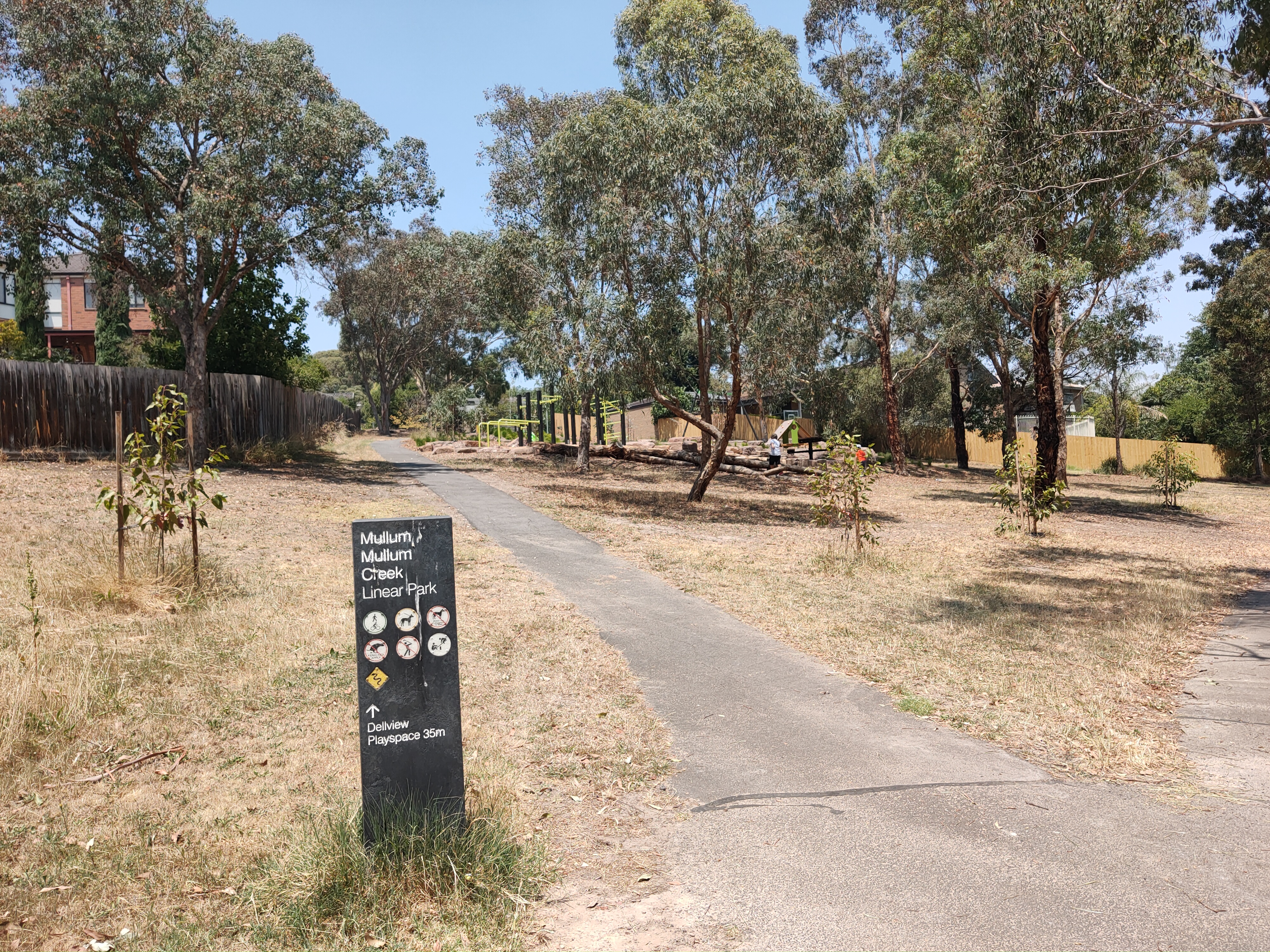
| photo | Mullum mullum creek linear park path.JPG |
| photo_width | 250px |
| photo_caption | Mullum Mullum Creek Trail through the Linear Park |
| coords | |
| location | Melbourne, Australia |
| opened | 1977 |
| operator | City of Manningham |
| paths | Sealed |
| terrain | Creek banks, floodplains and wetlands |
| water | Mullum Mullum Creek |
| free_label | Landmarks |
| facilities | Seats |
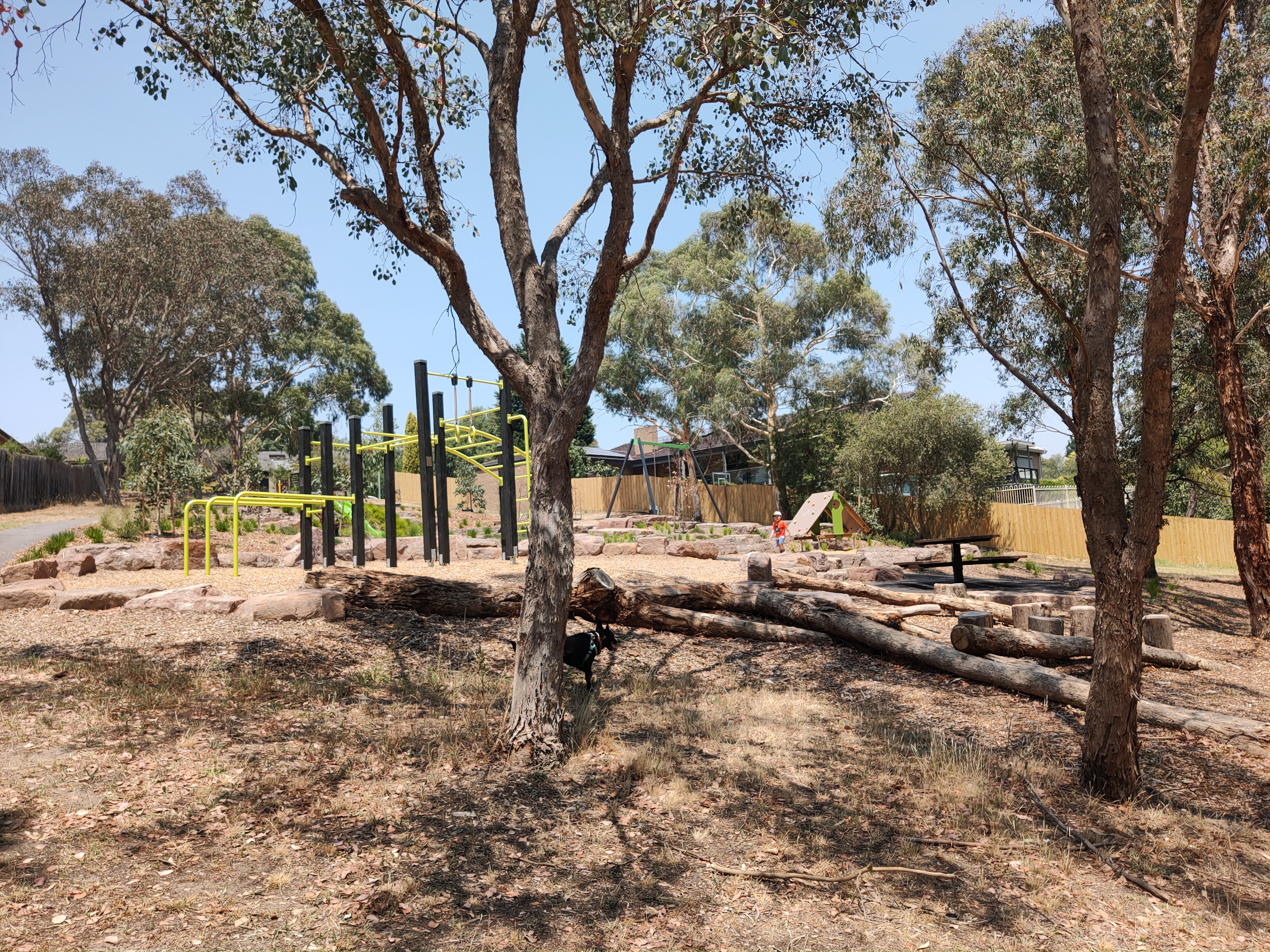
The Mullum Mullum Creek Linear Park is located east of Melbourne, Australia in the suburbs of Doncaster East and Donvale. It stretches for roughly 9 km along the western banks of the Mullum Mullum Creek between Heidelberg-Warrandyte Road and The Eastlink Trail. Facilities include sealed pathways, barbecues and shelters. Other features include, bush walking tracks, trails and equestrian trails. Throughout much of the 1990s, extensive regenerative planting was conducted throughout the entire length of the park; this has restored much of the native riparian bushland within the park, most prominently the Mullum Mullum Wetlands.
Recreation

Cycling is popular in the park, which hosts part of the northern section of the Mullum Mullum Creek Trail. The park sprawls out into residential housing and is linked to some surrounding roads directly or via other parks, where the park crosses major roads; these are indicated in bold:
- Heidelberg-Warrandyte Road
- Deep Creek Drive
- Larnoo Drive
- Reynolds Road
- Parklands Close
- Jolen Court
- Baradine Terrace
- Springvale Road
- Tindals Road
Surrounding Parklands
The park adjoins other parks surrounding the Mullum Mullum Creek:
- Buck Reserve (equestrian facilities)
- Mullum Mullum Reserve (hockey, bowls, tennis)
- Currawong Bush Park
- Deep Creek Reserve (baseball)
Access

Busses run along Heidelberg-Warrandyte Road (numbers 154, 155, 156, 159, 304, 364) and Reynolds Road (number 154). There are carparks at Heidelberg-Warrandyte Road, Reynolds Road and Tindals Road each either a capacity of 10-20 cars. The Mullum Mullum Creek Trail provides cycling and pedestrian access.
This article was imported from Wikipedia and is available under the Creative Commons Attribution-ShareAlike 4.0 License. Content has been adapted to SurfDoc format. Original contributors can be found on the article history page.
Ask Mako anything about Mullum Mullum Creek Linear Park — get instant answers, deeper analysis, and related topics.
Research with MakoFree with your Surf account
Create a free account to save articles, ask Mako questions, and organize your research.
Sign up freeThis content may have been generated or modified by AI. CloudSurf Software LLC is not responsible for the accuracy, completeness, or reliability of AI-generated content. Always verify important information from primary sources.
Report