From Surf Wiki (app.surf) — the open knowledge base
Moriches Bay
| Field | Value |
|---|---|
| name | Moriches Bay |
| image | Moriches Bay NY.JPG |
| pushpin_map | New York |
| location | Long Island, New York |
| coords | |
| type | Lagoon |
| inflow | Moriches and Shinnecock Inlets |
| outflow | Atlantic Ocean |
| date-built | |
| date-flooded |
| date-built = | date-flooded = | max-depth = Moriches Bay ( ) is a lagoon system on the south shore of Long Island, New York. The name Moriches comes from Meritces, a Native American who owned land on Moriches Neck.
Two townships in Suffolk, New York (Brookhaven and Southampton) share its shoreline.
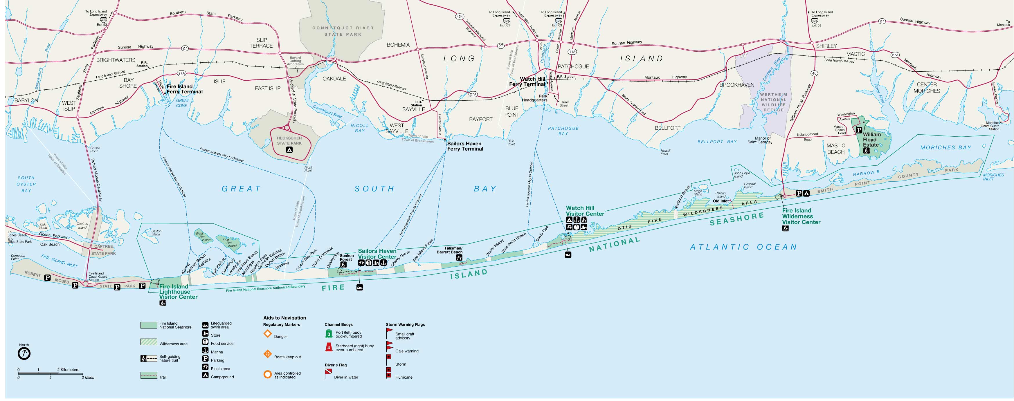
Moriches Bay is east of the Mastic Narrows and Great South Bay and west of Shinnecock Bay. The bay is 62 mi east of New York City.
Moriches Bay has a body of water of 9480 acre of aquatic environment. This includes Moneybogue Bay and Quantuck Bay, its salt marshes, dredged material islands, and intertidal flats.The bay is between the Outer barrier islands and Long Island mainland. Its flow comes from the Moriches and Shinnecock Inlets)
The western boundary of Moriches Bay is the Smith Point Bridge; the eastern boundary is the eastern edge of Quantuck Bay. This bayside habitat includes the tidal creeks and marshes feeding into Moriches Bay from the Long Island mainland.
A thriving habitat off the Atlantic Ocean, Moriches Bay is used by Long Islanders for local fishing. Moriches Bay is a natural habitat for shellfish, migrating and wintering waterfowl, colonial nesting waterbirds, beach-nesting birds, migratory shorebirds, raptors, and rare plants.
The Great South Bay and Moriches Bay seabeds up to the barrier beach are owned by the towns through a grant by the British monarch long before the existence of the United States. It has been repeatedly adjudicated (even to the U.S. Supreme Court) that the land grants in the Dongan (Governor of New York) patents (Islip, Brookhaven, Southampton and East Hampton Towns, 1686) are valid. However, since 1968 the federal government has been attempting to take title of and lay claim to, by adverse possession, the bay bottoms of Islip and Brookhaven towns extending outward from the barrier beach.
References
References
- (2004). "Native American placenames of the United States". University of Oklahoma.
- Tooker, William Wallace. (2009). "The Indian Place-Names on Long Island and Islands Adjacent, with Their Probably Significations". BiblioBazaar.
- "Moriches Bay, Complex #13". [[United States Fish and Wildlife Service]].
- "Fishing". Silly Lily Fishing Station.
- Gustavson, Mark. "Fly Fishing for Moriches Bay Stripers".
This article was imported from Wikipedia and is available under the Creative Commons Attribution-ShareAlike 4.0 License. Content has been adapted to SurfDoc format. Original contributors can be found on the article history page.
Ask Mako anything about Moriches Bay — get instant answers, deeper analysis, and related topics.
Research with MakoFree with your Surf account
Create a free account to save articles, ask Mako questions, and organize your research.
Sign up freeThis content may have been generated or modified by AI. CloudSurf Software LLC is not responsible for the accuracy, completeness, or reliability of AI-generated content. Always verify important information from primary sources.
Report