From Surf Wiki (app.surf) — the open knowledge base
Mitchell River (Queensland)
River in Queensland, Australia
River in Queensland, Australia
| Field | Value |
|---|---|
| name | Mitchell |
| name_etymology | In honour of Sir Thomas Mitchell |
| image | MitchellRiver_Nov08.jpg |
| image_size | 280 |
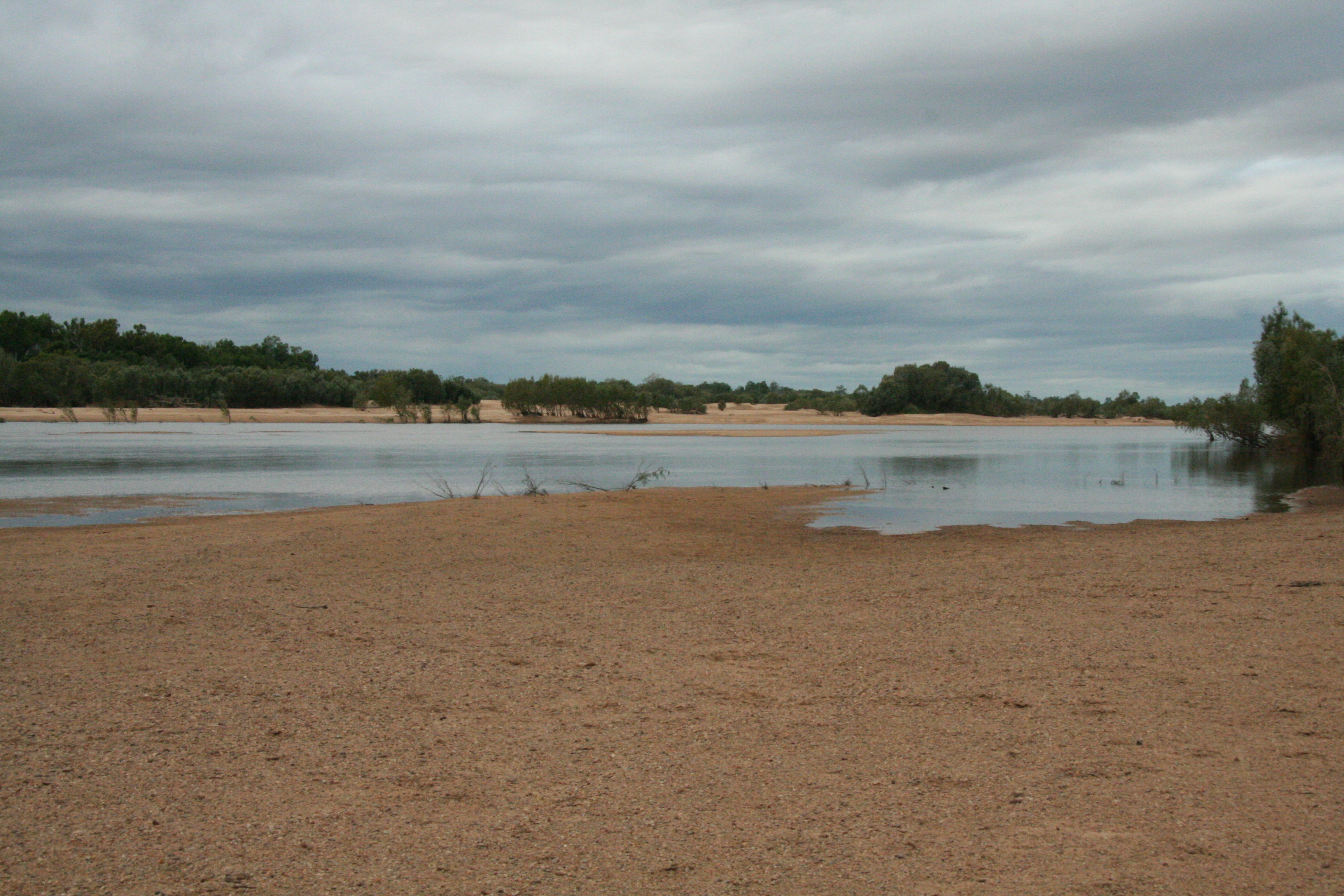
| image_caption | View inland, up the Mitchell River, at small waterfalls in between Dunbar and Koolatah stations |
| pushpin_map | Australia Queensland |
| pushpin_map_caption | Location of Mitchell River mouth in Queensland |
| subdivision_type1 | Country |
| subdivision_name1 | Australia |
| subdivision_type2 | State |
| subdivision_name2 | Queensland |
| subdivision_type3 | Region |
| subdivision_name3 | Far North Queensland |
| length | 750 km |
| discharge1_location | Mitchell River Delta, Gulf of Carpentaria |
| discharge1_avg | (Period: 1890-2015)15,570 GL/yr to 22,951,000 ML/yr |
| source1 | Atherton Tableland, Great Dividing Range |
| source1_location | west of |
| source1_coordinates | |
| source1_elevation | 376 m |
| mouth | Gulf of Carpentaria |
| mouth_location | north of |
| mouth_coordinates | |
| mouth_elevation | 0 m |
| basin_size | 71,757 km2 to 73,230 km2 |
| tributaries_left | Hodgkinson River, Dry River (Queensland), Walsh River, Lynd River |
| tributaries_right | McLeod River (Queensland), St George River (Queensland), Little Mitchell River, Palmer River (Queensland), Alice River |
| custom_label | National parks |
| custom_data | Hann Tableland National Park; Mitchell-Alice Rivers National Park; Chillagoe-Mungana Caves National Park; Bulleringa National Park; Forty Mile Scrub National Park |
| extra |
The Mitchell River is a river in Far North Queensland, Australia. The river rises on the Atherton Tableland about 50 km northwest of Cairns and flows about 750 km northwest across Cape York Peninsula from Mareeba to the Gulf of Carpentaria.
The river's watershed covers an area of 71757 km2. The Mitchell has the state's largest discharge, at 11.3 e6ML annually, but is intermittent and may be dry for part of the year. Lake Mitchell is the main water storage facility on the river.
It was named by Ludwig Leichhardt on 16 June 1845 after Sir Thomas Mitchell while he was on his overland expedition from Moreton Bay to Port Essington. It may have been previously named the Vereenighde River in 1623 by Dutch merchant and navigator Jan Carstensz.
Biophysical aspects
The Mitchell River and its tributaries have for a long time carved their way westwards through the rugged, weathered highlands of the Great Dividing Range, carrying away sediments to be deposited in the broad floodplains and wetlands of the Gulf Savannah country.
The rivers' waters "pulse" annually with monsoonal rains, seasonally collecting water from across the local tropical rainforests in the highlands to the east; the wet sclerophyll forests in the central uplands; a variety of woodlands plus savannah in the western plains; annually flooding with freshwater, the tidal plains, wetlands, estuaries, and mangroves of the lower Mitchell and coastal plains.
From source to mouth, the Mitchell River is joined by 34 tributaries including the McLeod River, Hodgkinson River, St George River, Dry River, Little Mitchell River, Walsh River, Lynd River, Palmer River and Alice River.
Protected areas within the Mitchell River catchment include the Hann Tableland, Mitchell-Alice Rivers, Chillagoe-Mungana Caves, part of Bulleringa to the south, and most of the Forty Mile Scrub national parks.
Fauna and flora

Being a large river system, the Mitchell River may contain within its catchment one of Australia's most ecologically diverse aquatic systems consisting of a rich variety of both wet and dry tropical monsoonal habitats.
The catchment ecology as a whole has been generally described as follows:
The vegetation in the Mitchell River Catchment area ranges from the World Heritage Wet Tropic rainforest on the eastern highlands to the open savannah on the western and lower Mitchell plains. The extensive mangroves and lagoon systems at the delta of the Mitchell River are recognised worldwide. The permanent waters in the upper catchment are associated with springs and water holes...
More specifically, while this ecologically diverse river system is relatively poorly studied, it is known to contain at least 18 rare, endangered or vulnerable animal species including the golden-shouldered parrot, the Gouldian finch and the northern bettong. The mouth of the river lies in the Gulf Plains Important Bird Area.
Towns
The major towns in the river's catchment are Kowanyama, Chillagoe, Dimbulah, Mount Carbine and Mount Molloy. Other smaller towns in the Mitchell River catchment include Mutchilba and Almaden.
History
Kunjen (also known as Koko Wanggara, Ngundjan and Olkola) is a language of Western Cape York. The Kunjen language region includes the landscape within the local government boundaries of Kowanyama Community Council and Cook Shire Council.
Yir Yiront (also known as Yiront, Jirjoront, Yir-yiront, and Kokomindjan) is an Australian Aboriginal language. Its traditional language region is in Western Cape York within the local government areas of Aboriginal Shire of Kowanyama and Shire of Cook, in the catchments of the Coleman River and Mitchell River. Following the removal of Aboriginal people from their traditional lands, it is also spoken in Pormpuraaw and Kowanyama.
References
References
- "Reports on the Mitchell catchment-CSIRO".
- "Basin & Surface Water Management Area: Mitchell River (WA)".
- "Mitchell Basin: Wetland Summary Information". [[Queensland Government]].
- "Map of Mitchell River, QLD". Bonzle Digital Atlas of Australia.
- (2008). "Mitchell Water Resource Plan Consultation Report". [[Queensland Government]].
- (2006). "Indicator: IW-01 Annual river discharge". Australian Government Department of the environment.
- "Water resources - Overview - Queensland - Basin & Surface Water Management Area: Mitchell River (QLD)". [[Department of the Environment, Water, Heritage and the Arts]].
- {{cite QPN. 22373. Mitchell River
- "Mitchell River catchment". Mitchell River Watershed Management Group.
- "About the Mitchell River Catchment". Mitchell Watershed Management Group.
- (2011). "Gulf Plains". BirdLife International.
- "Stations, Towns, Communities, Waterways & Roads". Mitchell River Watershed Management Group.
- "Queensland Aboriginal and Torres Strait Islander languages map".
- "Yir Yiront".
This article was imported from Wikipedia and is available under the Creative Commons Attribution-ShareAlike 4.0 License. Content has been adapted to SurfDoc format. Original contributors can be found on the article history page.
Ask Mako anything about Mitchell River (Queensland) — get instant answers, deeper analysis, and related topics.
Research with MakoFree with your Surf account
Create a free account to save articles, ask Mako questions, and organize your research.
Sign up freeThis content may have been generated or modified by AI. CloudSurf Software LLC is not responsible for the accuracy, completeness, or reliability of AI-generated content. Always verify important information from primary sources.
Report