From Surf Wiki (app.surf) — the open knowledge base
Mississippi Highway 304
Highway in Mississippi
Highway in Mississippi
| Field | Value | |||||
|---|---|---|---|---|---|---|
| state | MS | |||||
| type | MS | |||||
| route | 304 | |||||
| maint | MDOT | |||||
| map | ||||||
| map_custom | yes | |||||
| map_notes | MS 304 in red, MS 304 Scenic in blue | |||||
| length_mi | 40.387 | |||||
| length_ref | ||||||
| established | 1950 | |||||
| direction_a | West | |||||
| terminus_a | near Lake Cormorant | |||||
| junction | {{Plainlist | |||||
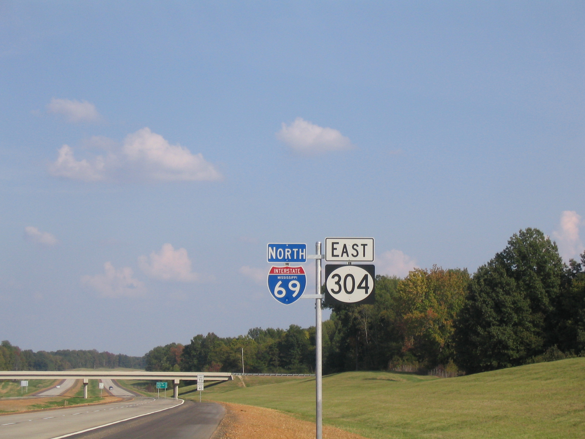
| * {{jct | state | MS | I | 69 | MS | 713}} in Banks |
| * {{jct | state | MS | I | 55 | I | 69}} in Hernando |
| * {{jct | state | MS | I | 22 | US | 78}} in Byhalia |
| direction_b | East | |||||
| terminus_b | at the Tennessee state line | |||||
| counties | DeSoto, Marshall | |||||
| previous_type | MS | |||||
| previous_route | 302 | |||||
| next_type | MS | |||||
| next_route | 305 |
- in Banks
- in Hernando
- in Byhalia Mississippi Highway 304 (MS 304) is an east-west state highway in the northwestern part of the U.S. state of Mississippi, running for 40.4 mi as a four-lane freeway from U.S. Route 61 (US 61) in Tunica Resorts to the Tennessee state line near Collierville. It is mostly concurrent with Interstate 69 (I-69) and Interstate 269 (I-269).
Route description
MS 304 begins at a trumpet interchange with US 61 east of Tunica Resorts in the northern reaches of the Mississippi Delta region. The four-lane freeway has a half-diamond interchange with MS 3 that allows access to and from the east. MS 304 crosses over a rail line and has a partial interchange with a stub of I-69 that leads to MS 713 at Banks; the interchange includes a flyover from the westbound direction of the freeway. Immediately to the east of the interchange, I-69/MS 304 climbs some Loess bluffs to leave the Delta. The freeway has diamond interchanges with MS 301, Fogg Road, and Tulane Road. I-69/MS 304 crosses another rail line and passes over US 51 with no access just west of the state highway's terminus at I-55 on the northern end of Hernando, where I-69 joins I-55 heading north toward Memphis. The highways meet at a full cloverleaf interchange and then MS 304 runs east concurrent with Interstate 269 to the Tennessee state line.
History
MS 304 was originally designated back in 1950 along a narrow, rural, two-lane highway running from US 61 in what was then known as Robinsonville (now Tunica Resorts) to I-55 in Hernando, in Tunica and De Soto counties respectively. Portions of this highway are still state maintained, including the new MS 713 (from Tunica Resorts to Banks) and MS 304 Scenic (from Eudora to Hernando). The portion in between (from Banks to Eudora) still exists and is county maintained, simply known as Old Highway 304.
The Mississippi Highway 304 Relocation project, completed in 2006, and extended in 2018, was a construction project that completely relocated the entire route of MS 304 onto a four-lane divided freeway, meant to connect the Tunica Resorts casino area to I-55. The I-69 designation was added to the project in 2000, with construction on the original portion (US 61 to I-55) being completed in 2006. When I-269 was given Federal approval in 2007, MS 304 was added to that project. When the Mississippi portion of I-269 was completed 2018, MS 304 was co-signed along the entire length of the Mississippi portion of I-269.
Exit list
Scenic route
Mississippi Highway 304 Scenic (MS 304 Scenic) is a scenic route of MS 304, connecting the towns of Coldwater and Hernando with Arkabutla Dam and Lake.
.jpg)
MS 304 Scenic begins in Tate County in the town of Coldwater at an interchange with I-55 (exit 271). It heads west, concurrent with MS 306, as a two-lane through a wooded area on the northern edge of town for about a mile to an intersection with US 51, where MS 306 ends and MS 304 Scenic follows US 51 southbound to enter town. The highway passes through a business district, where they widen to four-lane divided, before passing through a neighborhood and entering downtown, where MS 304 Scenic splits off along W Central Avenue. MS 304 Scenic heads west as a two-lane through a neighborhood before leaving Coldwater and crossing Hickahala Creek. The highway travels through a mix of farmland and wooded areas for several miles to enter the community of Arkabutla, where it becomes concurrent with MS 301. MS 304 Scenic/MS 301 turn northward to Arkabutla and wind their way through some woodlands for a few miles, following along the coastline of the Sunfish Bay of Arkabutla Lake to pass along the western side of Arkabutla Dam, where they cross a bridge over the Coldwater River into De Soto County.
MS 304 Scenic/MS 301 make a sharp left onto Pratt Road for a few miles, where they cross Cub Lake Bayou, before making a sharp right turn and traveling through a mix of farmland and wooded areas to the community of Eudora, where MS 304 Scenic splits off and heads east along Old Highway 304. MS 304 Scenic crosses an extremely swampy area, which is an extension of the northern part of Arkabutla Lake, before traveling through farmland for several miles to enter the Hernando city limits. It enters town along W Commerce Street and passes through a suburb, then a neighborhood, before entering downtown and having another intersection with US 51 via a roundabout around the De Soto County Courthouse. MS 304 Scenic leaves downtown along E Commerce Street and passes through a major business district for several blocks before coming to an end at another interchange with I-55 (exit 280).
Prior to 2006, when mainline MS 304 was relocated onto its new four-lane divided freeway to the north, MS 304 Scenic previously actually met its parent route, with the two running concurrent with each other between Eudora and the I-55 interchange (exit 280) in Hernando, which served as the terminus for both highways.
References
References
- (2008). "Mississippi Public Roads Selected Statistics". [[Mississippi Department of Transportation]].
- "Map of Mississippi Highway 304".
- "WMC-TV: News, Weather, Traffic, Radar, and Sports for Memphis, TN; WMCTV.com {{!}} First Mississippi stretch of I-69 opens to the public".
- "Last section of I-269 set to open Oct. 26, completing new loop around Memphis".
- "MS 304 Scenic".
This article was imported from Wikipedia and is available under the Creative Commons Attribution-ShareAlike 4.0 License. Content has been adapted to SurfDoc format. Original contributors can be found on the article history page.
Ask Mako anything about Mississippi Highway 304 — get instant answers, deeper analysis, and related topics.
Research with MakoFree with your Surf account
Create a free account to save articles, ask Mako questions, and organize your research.
Sign up freeThis content may have been generated or modified by AI. CloudSurf Software LLC is not responsible for the accuracy, completeness, or reliability of AI-generated content. Always verify important information from primary sources.
Report