From Surf Wiki (app.surf) — the open knowledge base
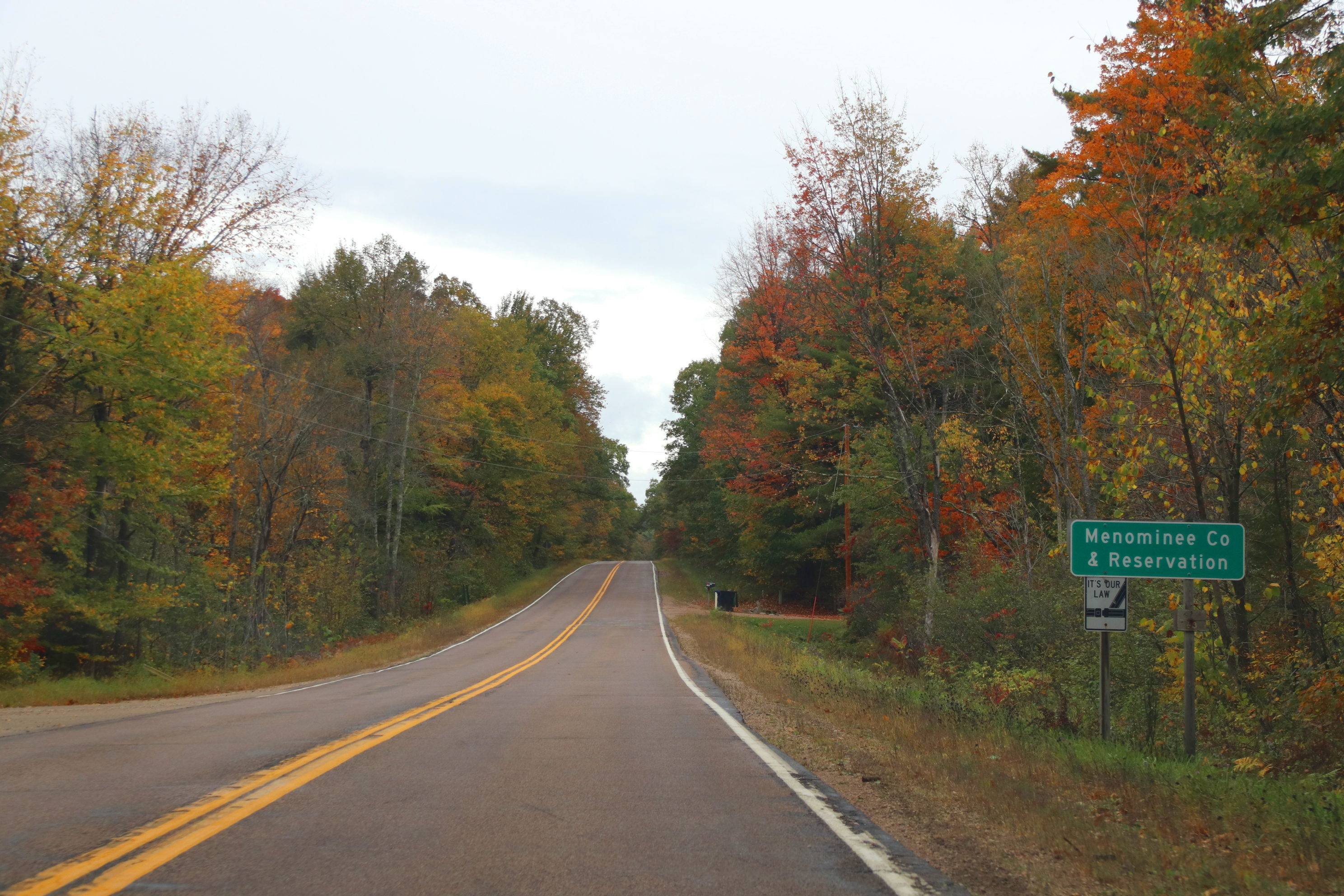
Menominee County, Wisconsin
County in Wisconsin, United States
County in Wisconsin, United States
| Field | Value |
|---|---|
| county | Menominee County |
| state | Wisconsin |
| ex image | MenomineeIndianTribalOfficesSept2009.jpg |
| ex image size | 220px |
| ex image cap | Menominee Indian Tribal Offices in Keshena, Wisconsin |
| founded year | 1959 |
| founded date | July 3 |
| seat wl | Keshena |
| largest city wl | Menominee |
| city type | town |
| area_total_sq_mi | 365 |
| area_land_sq_mi | 358 |
| area_water_sq_mi | 7.4 |
| area percentage | 2.0% |
| population_as_of | 2020 |
| population_total | 4255 |
| population_density_sq_mi | 11.9 |
| population_footnotes | |
| pop_est_as_of | 2024 |
| population_est | 4286 |
| web | www.co.menominee.wi.us/ |
| time zone | Central |
| district | 8th |
| named for | Menominee tribe |
Menominee County is a county in the U.S. state of Wisconsin. As of the 2020 census, the population was 4,255, making it the least populous county in Wisconsin. Its county seat is in the community of Keshena.
Menominee is Wisconsin's newest county, having been created in 1959 after recognition of the Menominee tribe was terminated by federal law. In 1974, the tribe regained federal recognition and restoration of most of its reservation. Today Menominee County is essentially coterminous with the boundaries of the federally recognized Menominee Indian Reservation.
Menominee County is included in the Shawano, WI Micropolitan Statistical Area, which is also included in the Green Bay-Shawano, WI Combined Statistical Area.
History
The county was created from the northeastern portion of seven townships of Shawano County and the western three townships of Oconto County on July 3, 1959, in anticipation of the termination of the Menominee Indian Reservation in 1961. The reservation status was restored in 1973, and is now co-extensive with the county.
Most of the land within the county boundary is under Federal trust for the exclusive use by enrolled members of the Menominee nation. Scattered parcels that were purchased during termination, as well as many lots around the Legend Lake area in the southeastern part of the county, are the only parts of the county that are privately owned by non-Native Americans. Most of Menominee County's population consists of members of the Menominee nation.
Menomonee County is the only county in Wisconsin that is designated as a "persistent poverty" county, meaning that its poverty rate was at least 20% in four measurements since 1990.
Geography
According to the U.S. Census Bureau, the county has a total area of 365 sqmi, of which 358 sqmi is land and 7.4 sqmi (2.0%) is water. It is the second-smallest county in Wisconsin by total area.
Adjacent counties
- Oconto County – east
- Shawano County – south
- Langlade County – northwest
Major highways
- [[Image:WIS 47.svg|20px]] Highway 47 (Wisconsin)
- [[Image:WIS 55.svg|20px]] Highway 55 (Wisconsin)
Buses
Demographics
|align-fn=center 1900–1990 1990–2000 2010 2020
2020 census
As of the 2020 census, the county had a population of 4,255. The median age was 34.5 years, 32.0% of residents were under the age of 18, and 15.5% of residents were 65 years of age or older. For every 100 females there were 96.5 males, and for every 100 females age 18 and over there were 89.8 males age 18 and over.
There were 1,361 households, including 1,064 families, and 40.7% of households had children under the age of 18 living in them. Of all households, 36.4% were married-couple households, 17.4% were households with a male householder and no spouse or partner present, 31.8% were households with a female householder and no spouse or partner present, 19.9% were made up of individuals, and 9.0% had someone living alone who was 65 years of age or older.
The population density was 11.9 /mi2. There were 2,145 housing units at an average density of 6.0 /mi2. Among those units, 36.6% were vacant; of the occupied units, 72.1% were owner-occupied and 27.9% were renter-occupied, with a homeowner vacancy rate of 0.3% and a rental vacancy rate of 4.8%.
The racial makeup of the county was 11.8% White,
Racial and ethnic composition
Note: the US Census treats Hispanic/Latino as an ethnic category. This table excludes Latinos from the racial categories and assigns them to a separate category. Hispanics/Latinos can be of any race.
| Race | Pop 2010 | Pop 2020 | % 2010 | % 2020 |
|---|---|---|---|---|
| White (NH) | 447 | 483 | 10.56% | 11.35% |
| Black or African American (NH) | 19 | 2 | 0.45% | 0.05% |
| Native American or Alaska Native (NH) | 3,538 | 3,549 | 83.6% | 83.41% |
| Asian (NH) | 1 | 2 | 0.02% | 0.05% |
| Pacific Islander (NH) | 0 | 2 | 0.0% | 0.05% |
| Mixed/Multi-Racial (NH) | 49 | 81 | 1.16% | 1.9% |
| Hispanic or Latino | 178 | 136 | 4.21% | 3.2% |
| Total | 4,232 | 4,255 |
2000 census
At the 2000 census there were 4,562 people, 1,345 households, and 1,065 families in the county. This total makes it the least-populated county in the state. The population density was 13 /mi2. There were 2,098 housing units at an average density of 6 /mi2. The racial makup of the county was 11.57% White, 0.07% Black or African American, 87.26% Native American, 0.02% Pacific Islander, 0.33% from other races, and 0.75% from two or more races. 2.67%. were Hispanic or Latino of any race. 5.0% were of German ancestry. 89.8% spoke English, 7.0% Menominee and 1.6% Hmong as their first language. At over 80% of the county's population, Menominee County has the highest percentage of Native Americans in the state of Wisconsin by far.
Of the 1,345 households 42.20% had children under the age of 18 living with them, 42.50% were married couples living together, 26.60% had a female householder with no husband present, and 20.80% were non-families. 16.50% of households were one person and 6.40% were one person aged 65 or older. The average household size was 3.35 and the average family size was 3.66.
The age distribution was 38.90% under the age of 18, 8.40% from 18 to 24, 24.70% from 25 to 44, 19.50% from 45 to 64, and 8.50% 65 or older. The median age was 28 years. For every 100 females there were 97.30 males. For every 100 females age 18 and over, there were 92.30 males.
In 2017, there were 89 births, giving a general fertility rate of 115.9 births per 1000 women aged 15–44, the highest rate out of all 72 Wisconsin counties.
Politics
Menominee County has always been a Democratic stronghold. In every election since its creation, Menominee has been the most Democratic-leaning county in Wisconsin. No Republican has ever won even 40% of the county's vote in its history. It is one of only four counties in the entire nation that has never voted for a Republican presidential candidate, the others being Jim Hogg and Brooks counties in South Texas and Kalawao County, Hawaii.
Communities

Menominee County is one of only two counties in Wisconsin with no incorporated communities, the other being Florence County.
Town
- Menominee
Census-designated places
- Keshena (county seat)
- Legend Lake
- Middle Village (partial)
- Neopit
- Zoar
Ghost town/neighborhood
- Perote
References
References
- "2020 Decennial Census: Menominee County, Wisconsin". U.S. Census Bureau.
- "Find a County". National Association of Counties.
- Paxton Hart. "[http://content.wisconsinhistory.org/cdm/ref/collection/wmh/id/21527 The Making of Menominee County]". ''Wisconsin Magazine of History'', vol. 143, no. 3 (Spring 1960):181-189.
- "County Typology Codes - Descriptions and Maps". USDA.
- (August 22, 2012). "2010 Census Gazetteer Files". United States Census Bureau.
- "Population and Housing Unit Estimates Tables". United States Census Bureau.
- "U.S. Decennial Census". United States Census Bureau.
- (March 27, 1995). "Population of Counties by Decennial Census: 1900 to 1990". United States Census Bureau.
- (April 2, 2001). "Census 2000 PHC-T-4. Ranking Tables for Counties: 1990 and 2000". United States Census Bureau.
- "State & County QuickFacts". United States Census Bureau.
- (2021). "2020 Decennial Census Demographic Profile (DP1)".
- (2021). "2020 Decennial Census Redistricting Data (Public Law 94-171)".
- (2023). "2020 Decennial Census Demographic and Housing Characteristics (DHC)".
- "Explore Census Data".
- "Explore Census Data".
- "U.S. Census website". [[United States Census Bureau]].
- "Wisconsin American Indian and Alaska Native Population Percentage by County".
- "Annual Wisconsin Birth and Infant Mortality Report, 2017 P-01161-19 (June 2019): Detailed Tables".
- Leip, David. "Dave Leip's Atlas of U.S. Presidential Elections".
- (2016-06-29). "How the red and blue map evolved over the past century".
This article was imported from Wikipedia and is available under the Creative Commons Attribution-ShareAlike 4.0 License. Content has been adapted to SurfDoc format. Original contributors can be found on the article history page.
Ask Mako anything about Menominee County, Wisconsin — get instant answers, deeper analysis, and related topics.
Research with MakoFree with your Surf account
Create a free account to save articles, ask Mako questions, and organize your research.
Sign up freeThis content may have been generated or modified by AI. CloudSurf Software LLC is not responsible for the accuracy, completeness, or reliability of AI-generated content. Always verify important information from primary sources.
Report