From Surf Wiki (app.surf) — the open knowledge base
Mawson Lakes, South Australia

| Field | Value |
|---|---|
| name | Mawson Lakes |
| city | Adelaide |
| state | sa |
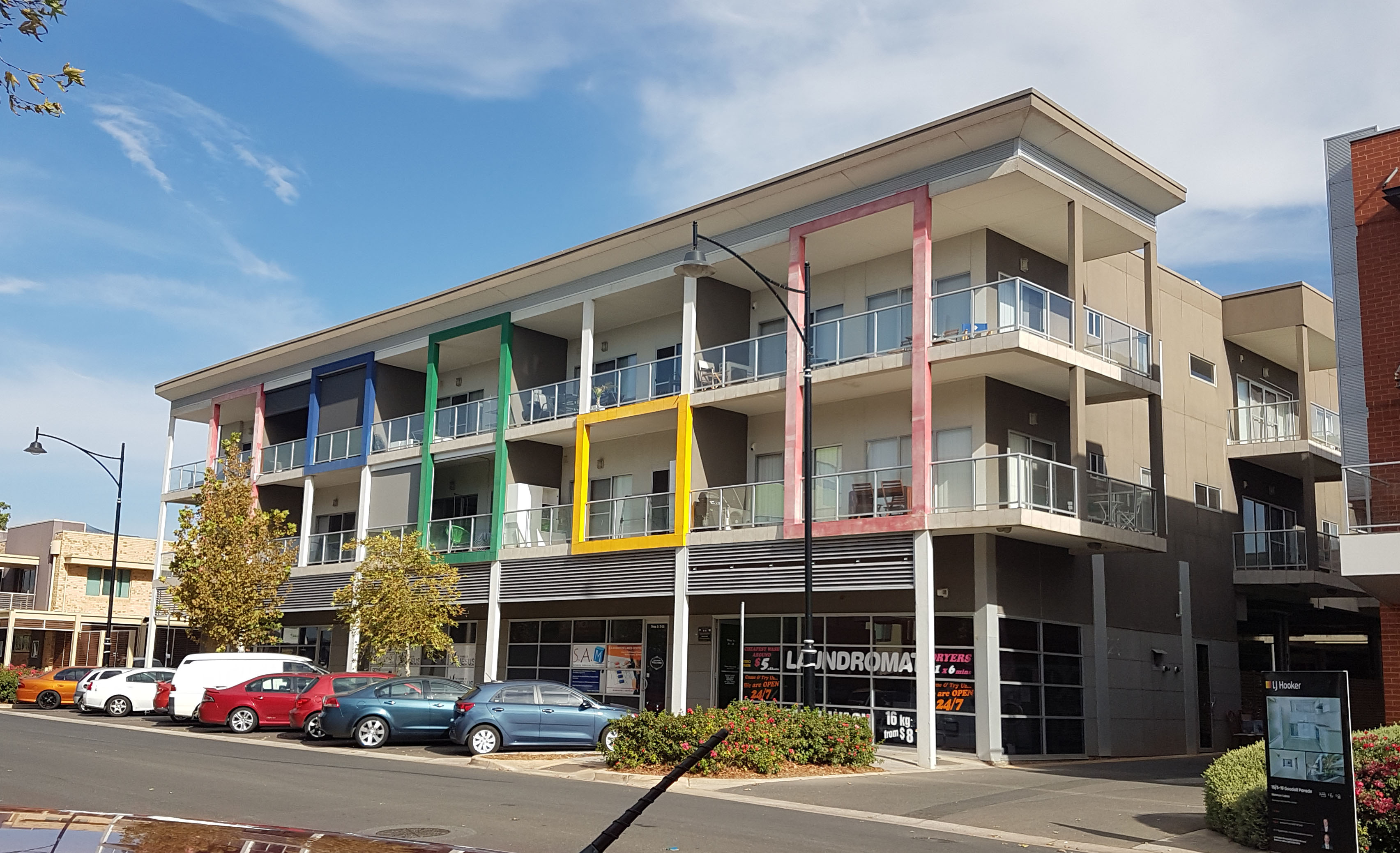
| image | Cascade mawson lakes.jpg |
| caption | Entrance to The Cascades residential village from Salisbury Highway, Mawson Lakes |
| lga | City of Salisbury |
| postcode | 5095 |
| pop | |
| est | 1998 |
| area | 6.37 |
| stategov | Playford |
| fedgov | Makin |
| near-nw | Green Fields |
| near-n | Parafield Gardens |
| near-ne | Para Hills West |
| near-w | Dry Creek |
| near-e | Ingle Farm |
| near-sw | Cavan |
| near-s | Pooraka |
| near-se | Ingle Farm |
| dist1 | 12 |
| location1 | Adelaide |
| alternative_location_map | Australia SA inner Adelaide |
| pushpin_map_caption | Location in greater metropolitan Adelaide |
| coordinates |
| near-nw = Green Fields | near-n = Parafield Gardens | near-ne = Para Hills West | near-w = Dry Creek | near-e = Ingle Farm | near-sw = Cavan | near-s = Pooraka | near-se = Ingle Farm Mawson Lakes, on the site of the former sheep breeding establishment known as The Levels, is a northern residential suburb of Adelaide, Australia. It was created in the late 1990s and named in honour of Sir Douglas Mawson, and is located approximately 12 km north of the Adelaide CBD. It is also the site and name of a campus of the University of South Australia. Similar to the large tidal lake at West Lakes, Mawson Lakes features the 7 hectare Sir Douglas Mawson Lake, a recreation lake which is the centrepiece of the residential portion of the development — and forms part of the suburb's namesake.
History
Pre-colonial times
Mawson Lakes, like the whole City of Salisbury lies on the traditional lands of the Kaurna people. The Kaurna moved camps according to the seasons, which allowed the land to regenerate in their absence.
The Levels
The site of the suburb is mostly on a former sheep breeding establishment founded by artist and pastoralist Edward John Pitts around 1876, known as "The Levels".
Technology Park Adelaide
Technology Park Adelaide is Australia's first science park, having been established in 1982 by the Government of South Australia. It is managed by Renewal SA, on behalf of the Government of South Australia. It is a 65 hectare site and predates the Mawson Lakes residential development.
Over 100 organisations are located at Technology Park Adelaide, with a concentrated focus on defence and aerospace, advanced electronics and information communication technologies.
Spanning from smaller enterprises through to global organisations, Technology Park Adelaide is home to organisations such as Lockheed Martin, Saab AB, Codan, Kongsberg Gruppen and Raytheon.
Suburb creation
The suburb of Mawson Lakes was created and named around two man-made lakes in the late 1990s, and named after geologist and Antarctic explorer Sir Douglas Mawson. One of the lakes is called the Sir Douglas Mawson Lake. In 1998, Delfin (later acquired by, and subsumed into, Lendlease) entered into a partnership with the Government of South Australia and the City of Salisbury to redevelop most of the area into a mixed-use, largely self-contained suburb featuring housing, retail, commercial and education precincts.
Housing design during the initial development phase of Mawson Lakes was controlled by land title encumbrances, with Delfin/Lendlease having guidelines in place to dictate acceptable architectural design and external finishes in accordance with their vision for individual neighbourhoods, as well as for the wider suburb. Encumbrances also placed restrictions on the positioning and appearance of external fixtures (such as clotheslines and TV aerials). Delfin/Lendlease also used encumbrances to control and influence the design and appearance of other South Australian urban developments they led, including West Lakes, Golden Grove, and later, Blakes Crossing.
In 2011, Lendlease completed development at Mawson Lakes and transferred management of the suburb to the City of Salisbury. The total development period was 13 years.
On 1 January 2015, the obligation on Lendlease to administer and enforce the encumbrance on properties in Mawson Lakes expired. However, the encumbrance remains in place — albeit without a nominated enforcement body.
Housing typology and villages
The Mawson Lakes residential development focuses on several distinct "villages", each with their own identity and physical location within the suburb.
Most of the villages are demarcated by decorative signage at entrances off of main/feeder roads and Salisbury Highway (where applicable).
The villages are as follows:
- Mawson Central
- The Peninsula (east of Dry Creek, south of Mawson Lakes Boulevard and north of Technology Park)
- The Bridges (north of Elder Smith road and west of rail corridor
- The Cascades (north of Elder Smith Road and north east of rail corridor)
- The Sanctuary (north west of Salisbury Highway)
- Shoalhaven (north west of rail corridor)
- Parkway Village
- The Peppercorns
- Technology Park
Housing typology in Mawson Lakes is largely consistent across the suburb, consisting of contemporary and reproduction detached, semi-detached and terraced housing, although some villages contain distinct types of housing that reflect the physical attributes of the locale. Homes along the lakefront within "The Peninsula" village, for instance, are predominantly two-storey and have wider frontages to take advantage of lake views. Meanwhile, Mawson Central consists almost exclusively of apartments to reflect the denser, mid-rise character of the business district.
Demographics
According to the 2021 Census, the population of the Mawson Lakes census area was . Approximately 50.7% of the population were male, with 49.3% female. 55.2% are Australian born, over 83.1% of residents are Australian citizens and only 1.1% identifying as Indigenous Australians.
Mawson Lakes has a fully educated population of around 30.6%, with that number of people holding a(n) (Advanced)Diploma or Year 12 diploma. 36% of the population do not identify with any religion, whilst 15.5% identify as Catholic.
Facilities
Mawson Lakes School and Preschool are situated on the same campus on Garden Terrace.
Transport

Mawson Interchange, built in 2005, is located on the Gawler railway line. Train services are high frequency, with 15-minute intervals between services to the Adelaide CBD, and further north to Gawler. Adelaide Metro bus routes serve the interchange and connect Mawson Lakes to the Adelaide CBD as well as Salisbury, Elizabeth and Modbury.
Mawson Lakes is connected to the major Adelaide thoroughfares of Main North Road, Salisbury Highway and Port Wakefield Road. The Adelaide CBD can typically be reached by car within 30 minutes, depending on traffic conditions.
Parafield Airport, formerly Adelaide's main civil airport (from 1927 to 1955), is situated north of Mawson Lakes and is currently used for small aircraft, pilot training and recreational aviation.
Water supply
Mawson Lakes features a dual water supply system, supplying drinking water and recycled water to homes via completely separate mains. When first installed, the facilities at Mawson Lakes were the largest self-contained water recycling scheme in Australia.
Lilac pipes and fittings are used to distinguish recycled water sources. The recycling scheme results in Mawson Lakes using 50% less potable water than comparable suburbs and means that resident using recycled water are exempt from state water restrictions
The recycled water is sourced from the Bolivar Wastewater Treatment Plant approximately 8 km away. From there, stormwater from the Salisbury wetlands is added to the mix before it is treated up to "Class A" standard recycled water for use on public reserves, and for irrigation and toilets in each home in Mawson Lakes. The City of Salisbury conducts a cross connection audit for all residences once every five years, with a self-audit kit available from its website.
Mawson Central
The central commercial area of Mawson Lakes, situated between Main Street and Garden Terrace, and north of the Promenade is the central shopping precinct with a pub, Woolworths, Aldi, and a number of smaller shops and restaurants. Main Street and its side roads are also home to bank branches, various professional services, and offices. In recent years, many offices have been converted into apartments due its close proximity to the university, direct transport links to the Adelaide CBD, and a generally higher demand for residential, rather than office, space in the region.
Politics
| 2016 federal election |
|---|
| 2014 state election |
|---|
Mawson Lakes is a part of the federal division of Makin, which has been represented by Labor MP Tony Zappia since 2007, and was a part of the state electoral district of Port Adelaide, which has been represented by State Labor MP and Minister for Education and Child Development and Minister for Higher Education and Skills Susan Close since 2012.
Results shown here are from the most recent federal and state elections. Mawson Lakes was part of the state electoral district of Port Adelaide, which is said to be a 'working class' seat and therefore safe-Labor. It was shifted by the Electoral Districts Boundaries Commission into neighbouring electoral district of Playford for the upcoming 2018 state election, which is also a safe Labor seat.
Sport and recreation
Mawson Lakes is home to the following sport and recreation clubs:
- Mawson Lakes Football Club
- Mawson Lakes Cricket Club (initially formed in 1952)
- Mawson Lakes Golf Club
- Mawson Lakes Model Yacht Club
- Mawson Boat Club, a rowing club that takes advantage of the 450 metres rowing course on Sir Douglas Mawson Lake.
References
References
- [http://www1.auspost.com.au/postcodes/index.asp?Locality=mawson+lakes&sub=1&State=SA&Postcode=&submit1=Search Australia Post] - Postcode: Mawson Lakes, SA (24 June 2008)
- (3 May 2019). "Kaurna heritage".
- "Kaurna History in the Salisbury Region".
- (11 January 1886). "OBITUARY.". [[South Australian Register]].
- "About".
- "Businesses".
- (2 August 2024). "Explore Mawson Lakes, South Australia".
- (2015). "Birds of Mawson Lakes". Mawson Lakes Living Magazine.
- (16 November 1998). "Developers Revive the MFP Dream".
- (22 May 2013). "Hot property in Blakes Crossing and Springwood with affordability increasing". Lend Lease Corporation Limited.
- (January 2018). "Mawson Lakes Living - Issue 127".
- "Mawson Lakes Sustainability Self-Guided Tour".
- "2021 Mawson Lakes, Census All persons QuickStats".
- (15 April 2025). "Homepage".
- "Parafield History".
- (20 October 2000). "Urban Water Recycling at Mawson Lakes".
- "Archived copy".
- "Archived copy".
- "Archived copy".
- "Existing Connections".
- "Here's an office that really does feel like home". NewsComAu.
- "House of Representatives division information".
- "2014 State Election - Port Adelaide Electoral Results - Past state election results - Electoral Commission SA".
- "Susan Close MP".
- "Final Redistribution Report - Electoral Districts Boundaries Commission {{!}} Electoral Commission SA".
- "UniSA Sport - Mawson Lakes Cricket Club".
This article was imported from Wikipedia and is available under the Creative Commons Attribution-ShareAlike 4.0 License. Content has been adapted to SurfDoc format. Original contributors can be found on the article history page.
Ask Mako anything about Mawson Lakes, South Australia — get instant answers, deeper analysis, and related topics.
Research with MakoFree with your Surf account
Create a free account to save articles, ask Mako questions, and organize your research.
Sign up freeThis content may have been generated or modified by AI. CloudSurf Software LLC is not responsible for the accuracy, completeness, or reliability of AI-generated content. Always verify important information from primary sources.
Report