From Surf Wiki (app.surf) — the open knowledge base
Mas-ha
| Field | Value |
|---|---|
| name | Mas-ha |
| translit_lang1 | Arabic |
| translit_lang1_type | Arabic |
| translit_lang1_info | مسحة |
| type | Municipality type D (Village council) |
| image_skyline | Mas'ha.jpg |
| image_caption | Mas'ha, seen from Elkana |
| pushpin_map | Palestine |
| pushpin_map_caption | Location of Mas-ha within Palestine |
| coordinates | |
| grid_name | Palestine grid |
| grid_position | 155/168 |
| subdivision_type | State |
| subdivision_name | State of Palestine |
| subdivision_type1 | Governorate |
| subdivision_name1 | Salfit |
| established_title | Founded |
| government_footnotes | tags -- |
| government_type | Village council |
| unit_pref | dunam |
| elevation_footnotes | |
| elevation_m | 281 |
| population_footnotes | |
| population_total | 2370 |
| population_as_of | 2017 |
| population_density_km2 | auto |
| blank_name_sec1 | Name meaning |
| blank_info_sec1 | "Gravelly soil" |
Mas-ha () is a Palestinian village in the Salfit Governorate in the northern West Bank, 24 kilometers southwest of Nablus. According to the Palestinian Central Bureau of Statistics, it had a population of 2,370 in 2017.
Location
Mas-ha is 12.5 km north-west of Salfit. It is bordered by Biddya to the east, Az Zawiya to the south, Azzun Atma to the west, and Sanniriya and Beit Amin to the north.
History
Potsherds from the Byzantine, Byzantine/Umayyad, Crusader/Ayyubid and Mamluk era have been found here. In the northwest of the village, a few reused bossed stones were found by the survey team.
Ottoman era
Potsherds from the early Ottoman era have also been found.
In the 18th and 19th centuries, Mas-ha formed part of the highland region known as Jūrat ‘Amra or Bilād Jammā‘īn. Situated between Dayr Ghassāna in the south and the present Route 5 in the north, and between Majdal Yābā in the west and Jammā‘īn, Mardā and Kifl Ḥāris in the east, this area served, according to historian Roy Marom, "as a buffer zone between the political-economic-social units of the Jerusalem and the Nablus regions. On the political level, it suffered from instability due to the migration of the Bedouin tribes and the constant competition among local clans for the right to collect taxes on behalf of the Ottoman authorities."
In 1838, Edward Robinson noted it as a village, Mes-ha, in the Jurat Merda district, south of Nablus.
French explorer Victor Guérin passed by the village in 1870, and estimated it as having about 300–350 inhabitants, and fig-tree lined borders.
In 1870/1871 (1288 AH), an Ottoman census listed the village in the nahiya (sub-district) of Jamma'in al-Thani, subordinate to Nablus.
In 1882 the PEF's Survey of Western Palestine (SWP) described Mes-ha as "a good-sized village, with a high central house, but partly ruinous. It is supplied by cisterns, and the houses are of stone."
British Mandate era
In the 1922 census of Palestine conducted by the British Mandate authorities, Mas-ha (called: Masha) had a population of 80, all Muslims, increasing slightly in the 1931 census to 87 Muslims in a total of 20 houses.
In the 1945 statistics the population was 110, all Muslims, while the total land area was 8,263 dunams, according to an official land and population survey. Of this, 1,612 were allocated for plantations and irrigable land, 2,482 for cereals, while 18 dunams were classified as built-up (urban) areas.
File:Biddya 1941.jpg|Mas-ha 1941 1:20,000 File:Biddya 1945.jpg|Mas-ha 1945 1:250,000
Jordanian era
In the wake of the 1948 Arab–Israeli War, and after the 1949 Armistice Agreements, Mas-ha came under Jordanian rule.
In 1961, the population was 478.
Post-1967
Since the Six-Day War in 1967, Mas-ha has been under Israeli occupation.
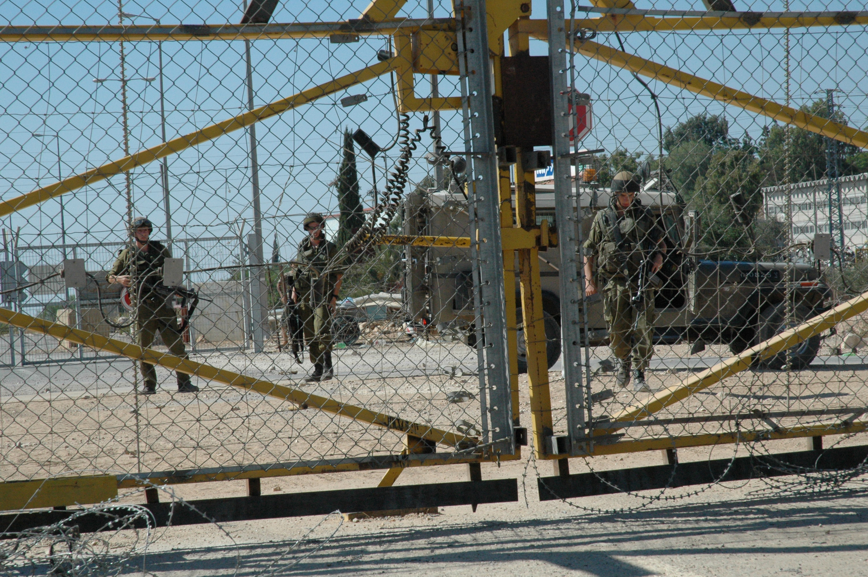
In the early 2000s, there were several protest against the plans of the building of the Israeli West Bank barrier, which would cut off Mas-ha villagers from much of their land. The protest, which resulted in the shooting of one Israeli citizen in 2003, were ultimately unsuccessful.
Loss of land
Mas-ha has been subjected to numerous Israeli confiscations for the benefit of various Israeli objectives. ARIJ lists the losses as follows:
| Settlement | Date of establishment | Pop 2013 | Area confiscated from Mas-ha |
|---|---|---|---|
| Elkana | 1977 | 3,719 | 1,626 |
| Etz Efraim | 1985 | 731 | 546 |
| Sha'arei Tikva | 1982 | 4,493 | 8 |
| Bnot Orot Yisrael | 1989 | – | 176 |
| Total | 8,943 | 2,356 | |
| Source: ARIJ 2013 |
References
Bibliography
References
- [http://vprofile.arij.org/salfit/pdfs/vprofile/Mas-ha_vp_en.pdf Mas-ha Village Profile], ARIJ, p. 4
- (February 2018). "Preliminary Results of the Population, Housing and Establishments Census, 2017". [[State of Palestine]].
- Palmer, 1881, p. [https://archive.org/stream/surveyofwesternp00conduoft#page/239/mode/1up 239]
- Finkelstein, 1997, p. 264
- Masha appeared in 1596 [[Ottoman empire. Ottoman]] [[daftar
- Marom, Roy. (2022-11-01). "Jindās: A History of Lydda's Rural Hinterland in the 15th to the 20th Centuries CE". Lod, Lydda, Diospolis.
- Robinson and Smith, 1841, vol 3, Appendix 2, p. [https://archive.org/stream/biblicalresearch03robiuoft#page/126/mode/1up 126]
- Guérin, 1875, p. [https://archive.org/stream/descriptiongogr04gugoog#page/n170/mode/1up 145] ff
- Grossman, David. (2004). "Arab Demography and Early Jewish Settlement in Palestine". Magnes Press.
- Conder and Kitchener, 1882, SWP II, p. [https://archive.org/stream/surveyofwesternp02conduoft#page/286/mode/1up 286]
- Barron, 1923, Table IX, Sub-district of Nablus, p. [https://archive.org/stream/PalestineCensus1922/Palestine%20Census%20%281922%29#page/n28/mode/1up 26]
- Mills, 1932, p. [https://archive.org/details/CensusOfPalestine1931.PopulationOfVillagesTownsAndAdministrativeAreas 63]
- Government of Palestine, Department of Statistics, 1945, p. [http://users.cecs.anu.edu.au/~bdm/yabber/census/VSpages/VS1945_p19.jpg 19]
- Government of Palestine, Department of Statistics. ''Village Statistics, April, 1945.'' Quoted in Hadawi, 1970, p. [http://www.palestineremembered.com/download/VillageStatistics/Table%20I/Nablus/Page-060.jpg 60]
- Government of Palestine, Department of Statistics. ''Village Statistics, April, 1945.'' Quoted in Hadawi, 1970, p. [http://www.palestineremembered.com/download/VillageStatistics/Table%20II/Nablus/Page-107.jpg 107]
- Government of Palestine, Department of Statistics. ''Village Statistics, April, 1945.'' Quoted in Hadawi, 1970, p. [http://www.palestineremembered.com/download/VillageStatistics/Table%20III/Nablus/Page-157.jpg 157]
- Government of Jordan, Department of Statistics, 1964, p. [http://users.cecs.anu.edu.au/~bdm/yabber/census/JordanCensusPages/JordanCensus1961-p26.pdf 26]
- [https://www.haaretz.com/news/police-question-israeli-shot-by-idf-troops-during-fence-protest-1.109948 Police Question Israeli Shot by IDF Troops During Fence Protest], Amos Harel, Dec 28, 2003, [[Haaretz]]
- [http://vprofile.arij.org/salfit/pdfs/vprofile/Mas-ha_vp_en.pdf Mas-ha Village Profile], ARIJ, 2013, p. 17
This article was imported from Wikipedia and is available under the Creative Commons Attribution-ShareAlike 4.0 License. Content has been adapted to SurfDoc format. Original contributors can be found on the article history page.
Ask Mako anything about Mas-ha — get instant answers, deeper analysis, and related topics.
Research with MakoFree with your Surf account
Create a free account to save articles, ask Mako questions, and organize your research.
Sign up freeThis content may have been generated or modified by AI. CloudSurf Software LLC is not responsible for the accuracy, completeness, or reliability of AI-generated content. Always verify important information from primary sources.
Report