From Surf Wiki (app.surf) — the open knowledge base
Maryland Route 134
State highway in Baltimore County, Maryland, known as Bellona Ave
_at_Maryland_State_Route_139_(Charles_Street)_in_Towson,_Baltimore_County,_Maryland.jpg)
State highway in Baltimore County, Maryland, known as Bellona Ave
| Field | Value |
|---|---|
| state | MD |
| type | MD |
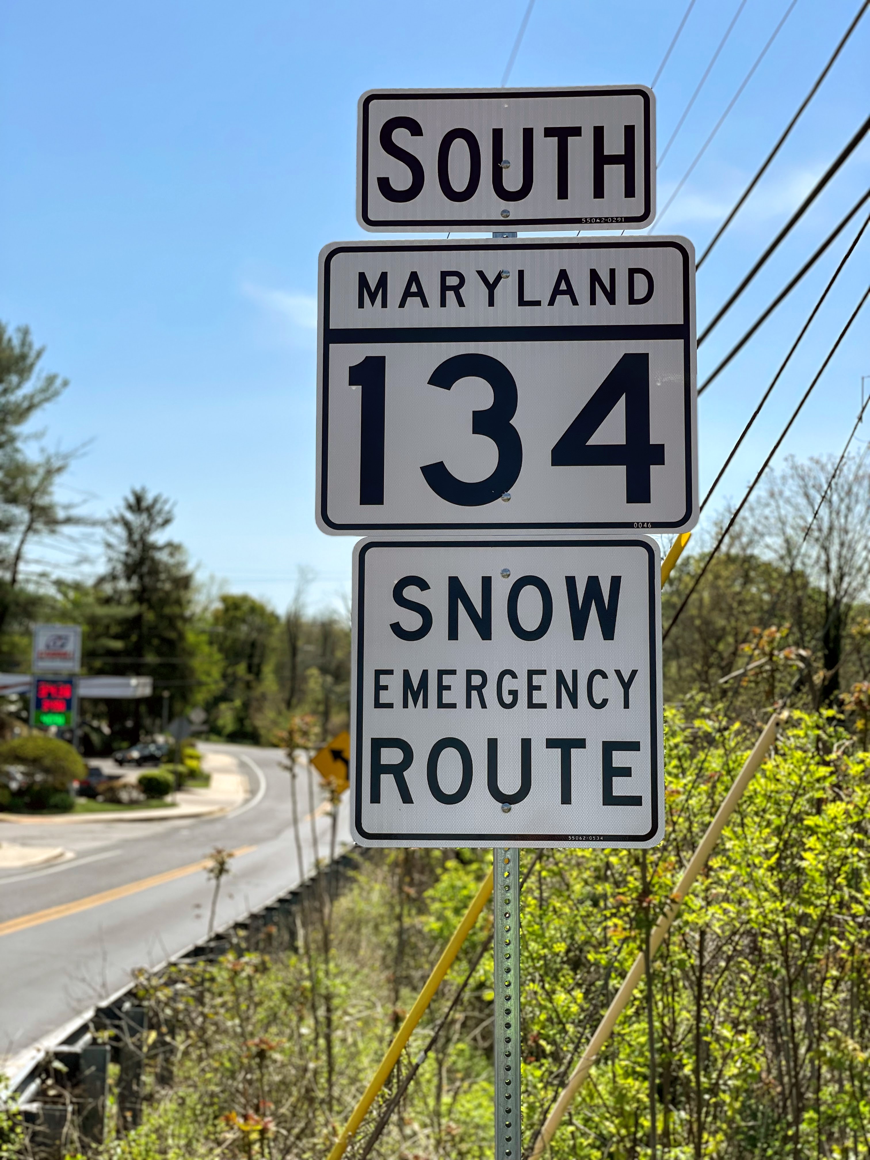
| route | 134 |
| alternate_name | Bellona Avenue |
| map | |
| map_custom | yes |
| map_notes | Maryland Route 134 highlighted in red |
| length_mi | 1.63 |
| length_round | 2 |
| length_ref | |
| established | 1928 |
| direction_a | South |
| terminus_a | in Towson |
| direction_b | North |
| terminus_b | Ruxton Road in Ruxton |
| counties | Baltimore |
| previous_type | MD |
| previous_route | 133 |
| next_type | MD |
| next_route | 135 |
Maryland Route 134 (MD 134) is a signed state highway in the U.S. state of Maryland. Known as Bellona Avenue, the state highway runs 1.63 mi from MD 139 in Towson north to Ruxton Road in Ruxton in central Baltimore County. MD 134 was created as a modern road from MD 139 northwest to MD 25 in 1928. The highway was reduced to its present length in 1962.
Route description
MD 134 begins at MD 139 (Charles Street) in the southwestern part of Towson. Bellona Avenue continues southeast as a county road through Rodgers Forge and then a city street in Baltimore, ultimately ending at MD 45 (York Road). MD 134 heads west as a two-lane undivided road through a forested residential area. The state highway veers north near Lake Roland and begins to closely parallel MTA Maryland's Baltimore Light RailLink. MD 134 reaches its northern terminus in the village of Ruxton at an intersection with Ruxton Road, which heads west across the tracks toward Pikesville. Bellona Avenue continues north parallel to the light rail tracks as a county highway that intersects Joppa Road in Riderwood before veering east and intersecting MD 139 again just south of Interstate 695 (Baltimore Beltway). There is also a disjoint segment of Bellona Avenue north of the Beltway in Lutherville.
History
MD 134 originally followed not only its present course along Bellona Avenue, but also Ruxton Road west to MD 25 in the hamlet of Rockland east of Pikesville. The whole original length of the highway was paved in macadam in 1928. The Ruxton Road portion of MD 134 was transferred to Baltimore County in 1962.
Junction list
References
References
- {{Maryland HLR. (2013)
- "Maryland Route 134".
- {{Maryland road map. (1939)
- {{Maryland road map. (1928)
- {{Maryland road map. (1962)
This article was imported from Wikipedia and is available under the Creative Commons Attribution-ShareAlike 4.0 License. Content has been adapted to SurfDoc format. Original contributors can be found on the article history page.
Ask Mako anything about Maryland Route 134 — get instant answers, deeper analysis, and related topics.
Research with MakoFree with your Surf account
Create a free account to save articles, ask Mako questions, and organize your research.
Sign up freeThis content may have been generated or modified by AI. CloudSurf Software LLC is not responsible for the accuracy, completeness, or reliability of AI-generated content. Always verify important information from primary sources.
Report