From Surf Wiki (app.surf) — the open knowledge base
Mafraq
City in Mafraq Governorate, Jordan
City in Mafraq Governorate, Jordan
| Field | Value |
|---|---|
| official_name | Mafraq |
| native_name | مدينة المَفْرَق |
| settlement_type | City |
| image_skyline | Al-Mafraq, Jordan - panoramio.jpg |
| imagesize | 250px |
| image_caption | Mafraq city center |
| image_flag | Flag of Greater Mafraq Municipality.png |
| image_seal | |
| pushpin_map | Jordan |
| pushpin_label_position | Mafraq |
| coordinates | |
| subdivision_type | Country |
| subdivision_name | Jordan |
| subdivision_type1 | Province |
| subdivision_name1 | Mafraq Governorate |
| established_title | Founded |
| established_date | 333 B.C. |
| established_title1 | Municipality established |
| established_date1 | 1945 |
| leader_title | Mayor |
| leader_name | Abdullah arqan |
| area_total_km2 | 14 |
| area_metro_km2 | 128 |
| elevation_m | 700 |
| population_footnotes | |
| population_total | 580,000 |
| population_as_of | 2017 |
| timezone | GMT +2 |
| timezone_DST | +3 |
| area_code | +(962)2 |
| website |
Mafraq ( Al-Mafraq, local dialects: Mafrag or Mafra; ) is the capital city of Mafraq Governorate in Jordan, located 80 km to the north of the national capital, Amman. It is located at a crossroads, with a road north going to Syria and another road to the east going to Iraq. It had 56,340 inhabitants in 2004.
History
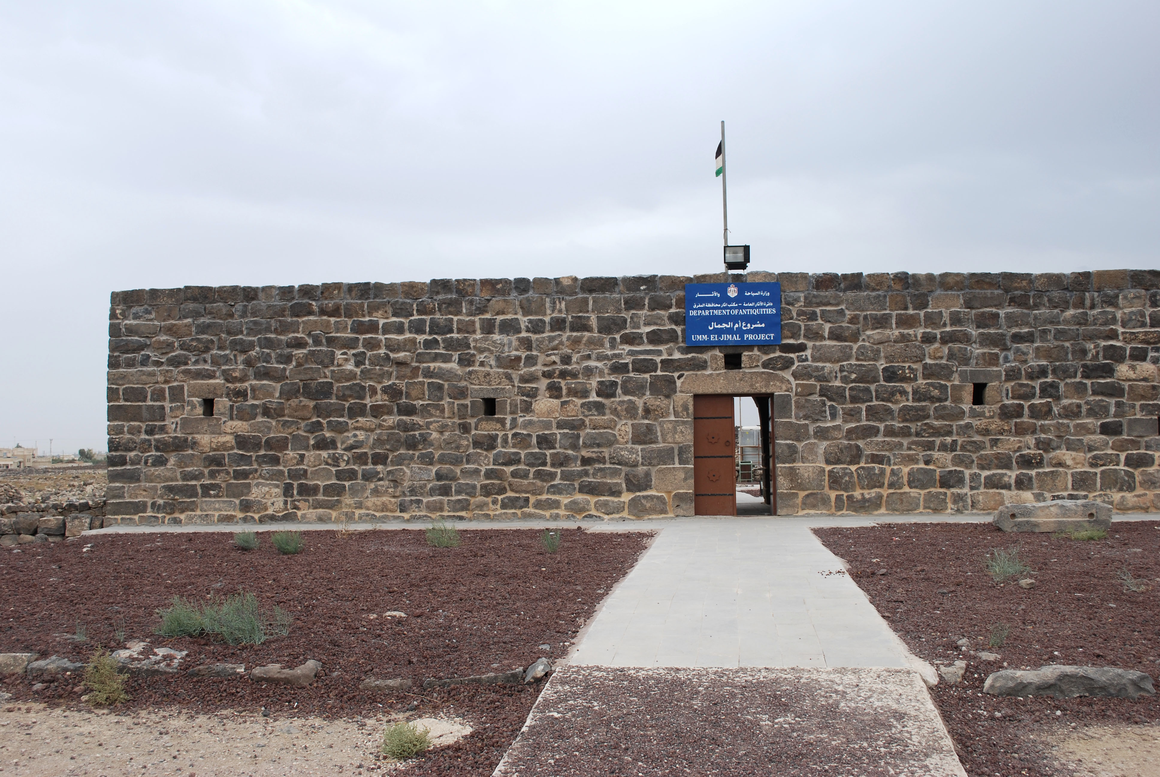
Mafraq was first settled in the 4th century BC. It is located about 17 km west of the historic Nabataean and Byzantine town of Umm el-Jimal, which was built in the 1st century.
In pre-Ottoman times, what is now the city of Mafraq was named Fudain, which comes from the word for fortress in Arabic. The Ottoman Turks renamed the city "Mafraq", which means "crossroads" in Arabic.
In Ottoman times, there was a pilgrims' inn or khan there, known as Khan or Qal'at el-Mafraq, which was part of the Syrian Hajj route, used annually by Muslims on their way to Medina and Mecca. The city gained more significance after the establishment of the Hejaz Railway connecting Damascus (and by extension Istanbul) to Medina in 1908.
Mafraq was the location of a British military base and airport during the British post-WWI Mandate. During the Second World War, the city's military base hosted British troops from India, Australia and other British colonies. It later became the base for the Arab Legion during the 1948 Arab–Israeli War.

Mafraq is the headquarters of the Third Division of the Jordanian Army. King Hussein Air College and an air base of the Royal Jordanian Air Force are also located in the city.

In 1945, the Municipality of Mafraq was established, with Ali Abdeyyah as its first mayor.
As of 2016, 50% of the population of Mafraq were Syrian refugees.
Geography
The city of Mafraq is located in northern Jordan at the boundary between the Hauran plateau and the Syrian Desert, about 80 km north of Amman. It is the capital and largest city of Mafraq Governorate. The city is close to three major cities in the region, Amman to the south, Irbid to the west, and Damascus to the north.
Climate
Mafraq has a cold semi-arid climate (Köppen climate classification BSk). Most rain falls in the winter. The average annual temperature in Mafraq is 16.6 °C. About 184 mm of precipitation falls annually.
|access-date= 21 December 2024}}
Transport
The international highway that connects Damascus to Riyadh passes through the city. Mafraq has a station on the national railway system.

Education
Al al-Bayt University is the only university in the city. It was established in 1992 and is located on the south-eastern outskirts of Mafraq city.
References
References
- [http://www.mafraq.gov.jo/GeneralInformation.aspx Official city website] {{in lang. ar. {{webarchive. link. (2010-02-04)
- Al Shqour, Reem Samed. (2019). "The Aqaba Khans and the Origin of Khans in Jordan: An Archaeological Approach". Gorgias Press.
- (1 October 2016). "Increasingly, hungry refugees receive aid not as food, but as cash". [[The Economist]].
- "CDC Open Data: Monthly total of Sunshine hours - Station 40265". [[Deutscher Wetterdienst]].
- "Al al-Bayt University".
This article was imported from Wikipedia and is available under the Creative Commons Attribution-ShareAlike 4.0 License. Content has been adapted to SurfDoc format. Original contributors can be found on the article history page.
Ask Mako anything about Mafraq — get instant answers, deeper analysis, and related topics.
Research with MakoFree with your Surf account
Create a free account to save articles, ask Mako questions, and organize your research.
Sign up freeThis content may have been generated or modified by AI. CloudSurf Software LLC is not responsible for the accuracy, completeness, or reliability of AI-generated content. Always verify important information from primary sources.
Report