From Surf Wiki (app.surf) — the open knowledge base
Madonie Regional Natural Park
| Field | Value |
|---|---|
| name | Madonie Regional Natural Park |
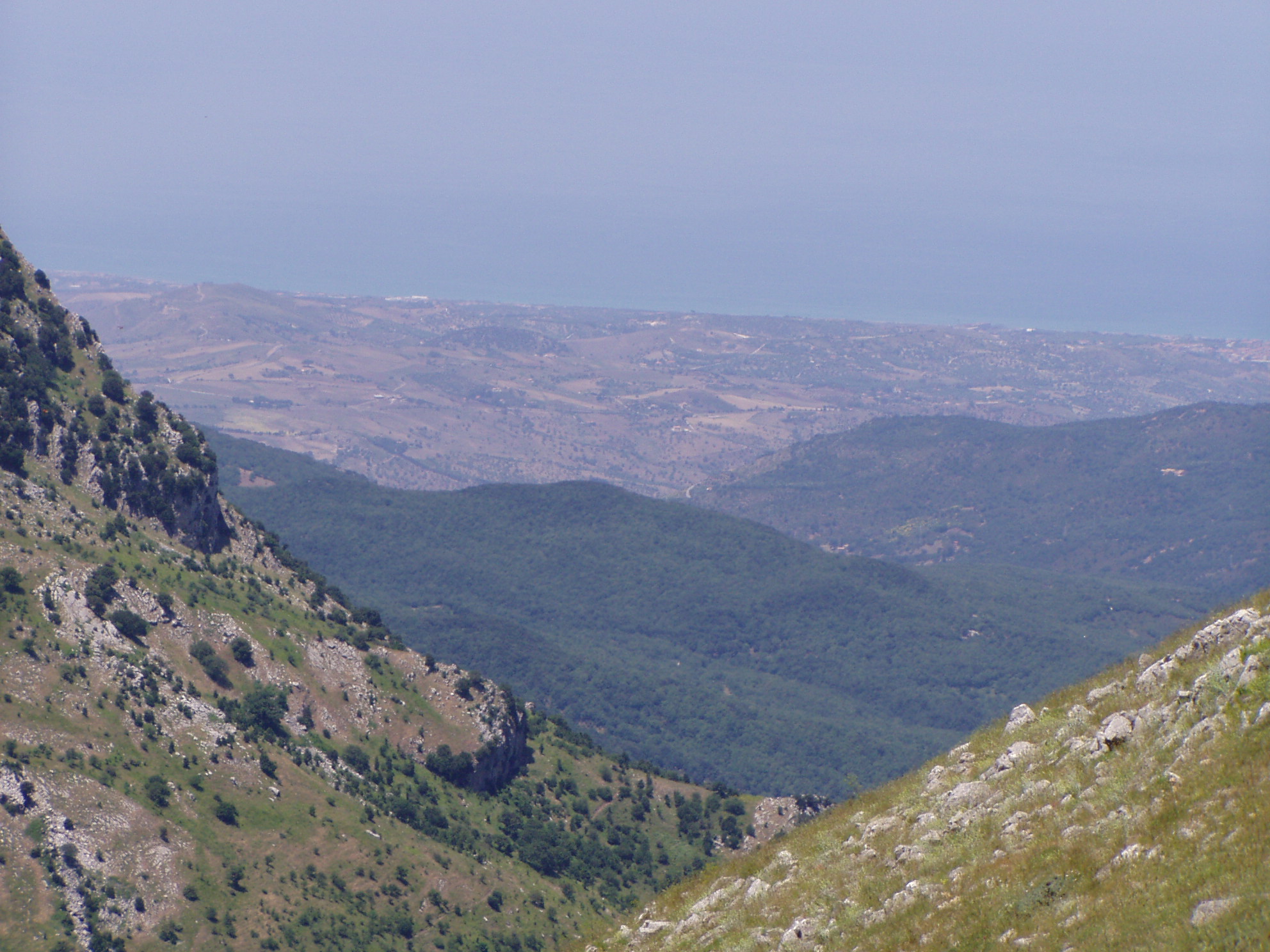
| photo | Piano Zucchi.jpg |
| photo_caption | The Madonie Mountains |
| map | Sicily |
| map_caption | Location of Pizzo Carbonara in Sicily |
| relief | 1 |
| location | Palermo Province, Sicily, Italy |
| coordinates | |
| area_km2 | 161.76 |
| established | 1989 |
The Madonie Regional Natural Park (Italian: Parco delle Madonie) is an Italian regional park located in Sicily, between Palermo and Cefalù and covers 39,972 acre.
Geography
It includes the Madonie mountain range and some of the highest mountains in Sicily. The park has six mountains that are over 1500 m and many more that are over 1000 m. The highest is Pizzo Carbonara at 1,979 m, second in height in Sicily only to Mount Etna.
As well as being a nature reserve, the park is an inhabited area with dozens of little villages and small towns, many of which trace their origins to medieval times. The park is also home to a number of castles and numerous ancient churches.
The wild mountainous slopes are inhabited by fallow deer (were introduced in the 1980s), wild boar, red fox, rabbits, wildcats and Bonelli's eagles, as well as being a habitat to the rare, nearly-extinct Nebrodi fir tree. One of the park's most notable natural features is the extensive forest of beech trees found only at 1500 m and above. These are the most southerly beech forests in Europe. Lower down, below 1600 m, there are large forests of holm oak, downy oak and cork oak, and around Castelbuono and Pollina the rare manna ash is still farmed. The mountains contain some 1500 species and sub-species of plants, around 60% of all those found in Sicily. These include more than 70 different species of orchid.
History

The regional park was officially created on 9 November 1989. Within the park area there are outcrops of rocks which have been dated at over a 200-million-year period and represent all aspects of the geology of Sicily apart from the current volcanic activity. The collaboration of the Madonie Park authorities and the European Geoparks Network has allowed the research of students and lecturers of the University of Palermo's Department of Geology and Geodesy. Studies have been made, papers published, and educational paths mapped out, with signs erected with information on the ground. Madonie Geopark is a member of the European Geoparks Network and the UNESCO Global Geoparks Network.
The park comprises fifteen municipalities of the province of Palermo: (Caltavuturo, Castelbuono, Castellana Sicula, Cefalù, Collesano, Geraci Siculo, Gratteri, Isnello, Petralia Soprana, Petralia Sottana, Polizzi Generosa, Pollina, San Mauro Castelverde, Scillato and Sclafani Bagni).
Notes
References
- Rampulla G., La Valle del Fiume Tusa nella Contea di Geraci: Pettineo, Migaido e Castel di Lucio, Patti 2007, ed. Kimerik. .
- Francesco Alaimo. 'The Madonie Park' Fabbio Orlando Editore, May 2002
- The Madonie Park Orchids, Amedeo Falci & S. Antoine Giardina, Paruzzo Editore, 2005.
- Parts translated from the Italian Wikipedia version of this article. Retrieved 2009-09-17.
References
- [[#Lonely69. Parco Naturale Regionale delle Madonie]]: 2009
- [[#Guida69. Parco delle Madonie – Guida Sicilia]]: 2009
- [[#Amann69. Landscapes of Sicily]]: 2001, p8
- [[#Amann69. Landscapes of Sicily]]: 2001, p12
- ''The Madonie Park'' by Francesco Alaimo
- ''The Madonie Park Orchids'' by Amdedeo Falci and S. Antoine Giardina.
This article was imported from Wikipedia and is available under the Creative Commons Attribution-ShareAlike 4.0 License. Content has been adapted to SurfDoc format. Original contributors can be found on the article history page.
Ask Mako anything about Madonie Regional Natural Park — get instant answers, deeper analysis, and related topics.
Research with MakoFree with your Surf account
Create a free account to save articles, ask Mako questions, and organize your research.
Sign up freeThis content may have been generated or modified by AI. CloudSurf Software LLC is not responsible for the accuracy, completeness, or reliability of AI-generated content. Always verify important information from primary sources.
Report