From Surf Wiki (app.surf) — the open knowledge base
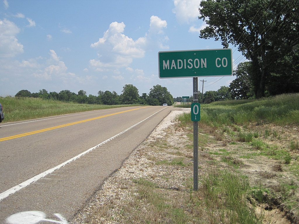
Madison County, Tennessee
County in Tennessee, United States
County in Tennessee, United States
| Field | Value |
|---|---|
| county | Madison County |
| state | Tennessee |
| founded | 1821 |
| named for | James Madison |
| seat wl | Jackson |
| largest city wl | Jackson |
| area_total_sq_mi | 559 |
| area_land_sq_mi | 557 |
| area_water_sq_mi | 1.5 |
| area percentage | 0.3% |
| census yr | 2020 |
| pop | 98823 |
| density_sq_mi | 176 |
| time zone | Central |
| web | https://www.madisoncountytn.gov |
| district | 8th |
| ex image | Old Madison County Courthouse, Jackson.JPG |
| ex image cap | Madison County Courthouse in March 2012 |
Madison County is a county located in the western part of the U.S. state of Tennessee. As of the 2020 census, the population was 98,823. Its county seat is Jackson. Madison County is included in the Jackson metropolitan area.
History
Madison County was formed in 1821, and named for founding father and president, James Madison. The county was part of lands the United States purchased from the Chickasaw in 1818. After Congressional passage of the Indian Removal Act of 1830, most Chickasaw were forced out of the state and west to Indian Territory beyond the Mississippi River.
Pinson Mounds, one of the largest Woodland period (c. 1-500CE) mound complexes in the United States, is located in Madison County. It has the second-tallest earthwork mound in the United States.
Geography
According to the U.S. Census Bureau, the county has a total area of 559 sqmi, of which 557 sqmi is land and 1.5 sqmi (0.3%) is water.
Airport
McKellar-Sipes Regional Airport, renamed Jackson Regional Airport in 2025, ("MKL") serves the county and the surrounding communities. Lake Graham, a large 500 acre reservoir primarily intended for recreation and wildlife habitat, is located in the county 5 miles east of Jackson.
Adjacent counties
- Gibson County (north)
- Carroll County (northeast)
- Henderson County (east)
- Chester County (southeast)
- Hardeman County (south)
- Haywood County (west)
- Crockett County (northwest)
State protected areas
- Pinson Mounds State Archaeological Park
- Middle Fork Bottoms State Park
- South Fork Waterfowl Refuge
- Lake Graham
Highways
- US-45
- US-412
- US-70
- I-40
Demographics
|align-fn=center 1790–1960 1900–1990 1990–2000 2010 2020
2020 census
| Race | Num. | Perc. |
|---|---|---|
| White (non-Hispanic) | 53,264 | 53.9% |
| Black or African American (non-Hispanic) | 35,837 | 36.26% |
| Native American | 175 | 0.18% |
| Asian | 1,227 | 1.24% |
| Pacific Islander | 13 | 0.01% |
| Other/Mixed | 3,585 | 3.63% |
| Hispanic or Latino | 4,722 | 4.78% |
As of the 2020 census, there were 98,823 people, 39,515 households, and 25,748 families residing in the county.
The median age was 40.0 years. 21.8% of residents were under the age of 18 and 18.0% of residents were 65 years of age or older. For every 100 females there were 90.9 males, and for every 100 females age 18 and over there were 87.6 males age 18 and over.
As of the 2020 census, the racial makeup of the county was 54.9% White, 36.4% Black or African American, 0.3% American Indian and Alaska Native, 1.3% Asian,
73.7% of residents lived in urban areas, while 26.3% lived in rural areas.
There were 43,656 housing units, of which 9.5% were vacant. Among occupied housing units, 62.4% were owner-occupied and 37.6% were renter-occupied. The homeowner vacancy rate was 1.7% and the rental vacancy rate was 9.0%.
Of these households, 28.9% had children under the age of 18 living in them. Of all households, 41.9% were married-couple households, 18.4% were households with a male householder and no spouse or partner present, and 34.4% were households with a female householder and no spouse or partner present. About 29.9% of all households were made up of individuals and 12.1% had someone living alone who was 65 years of age or older.
2000 census
As of the census of 2000, there were 91,837 people, 35,552 households, and 24,637 families residing in the county. The population density was 165 /mi2. There were 38,205 housing units at an average density of 69 /mi2. There were 35,552 households, out of which 33.50% had children under the age of 18 living with them, 49.80% were married couples living together, 15.90% had a female householder with no husband present, and 30.70% were non-families. 26.20% of all households were made up of individuals, and 9.30% had someone living alone who was 65 years of age or older. The average household size was 2.49 and the average family size was 3.00.
The racial makeup of the county was 65.20% non-Hispanic White or European American, 32.46% non-Hispanic Black or African American, 0.16% Native American, 0.63% Asian, 0.01% Pacific Islander, 0.67% from other races, and 0.86% from two or more races. 1.71% of the population were Hispanic or Latino of any race.
There were 35,552 households, out of which 33.50% had children under the age of 18 living with them, 49.80% were married couples living together, 15.90% had a female householder with no husband present, and 30.70% were non-families. 26.20% of all households were made up of individuals, and 9.30% had someone living alone who was 65 years of age or older. The average household size was 2.49 and the average family size was 3.00.
In the county, the population was spread out, with 25.80% under the age of 18, 11.00% from 18 to 24, 29.10% from 25 to 44, 21.70% from 45 to 64, and 12.30% who were 65 years of age or older. The median age was 35 years. For every 100 females, there were 92.10 males. For every 100 females age 18 and over, there were 87.20 males.
The median income for a household in the county was $36,982, and the median income for a family was $44,595. Males had a median income of $34,253 versus $23,729 for females. The per capita income for the county was $19,389. About 10.80% of families and 14.00% of the population were below the poverty line, including 18.40% of those under age 18 and 11.80% of those age 65 or over.
Government and politics
Madison County was historically part of the Democratic stronghold in West Tennessee, but began shifting toward the Republican Party in the mid 20th century. Today the county leans Republican in statewide and national elections, though Democrats remain competitive in Jackson, the county's largest city and urban center. The last Democrat to carry the county was Jimmy Carter in 1976.
The county is headed by an elected county mayor (currently A.J. Massey) and county commission of 25 members elected from 10 districts.
Healthcare
West Tennessee Healthcare (Jackson-Madison County General Hospital District), created by a law passed by the Tennessee General Assembly in 1949, serves as the public hospital system of the county. The county appoints some of the members of the board of trustees.
Media
This is the Madison County to which Kenny Rogers refers in his song "Reuben James".
Communities

Cities
- Humboldt (mostly in Gibson County, Tennessee)
- Jackson (county seat and largest city)
- Medon (partially in Hardeman County, Tennessee)
- Three Way
Census-designated places
- Beech Bluff
- Mercer (partly in Haywood County, Tennessee)
- Pinson
Unincorporated communities
- Adair
- Beech Bluff
- Claybrook
- Denmark
- Five Points
- Huntersville
- Leighton
- Neely
- Oakfield
- Pinson
- Spring Creek
Education
Jackson-Madison County School System is the public school district.
Lane College is a private historically Black college associated with the Christian Methodist Episcopal Church.
Union University is a private school affiliated with the Tennessee Baptist Convention.
West Tennessee School for the Deaf is a state-operated school in the county.
References
References
- [http://www.state.tn.us/sos/bluebook/05-06/44-counties.pdf Origins Of Tennessee County Names], ''[[Tennessee Blue Book]]'' 2005–2006, pages 508–513
- "QuickFacts: Madison County, Tennessee; United States". United States Census Bureau.
- "Find a County". National Association of Counties.
- Harbert Alexander, [http://tennesseeencyclopedia.net/entry.php?rec=824 "Madison County"], ''Tennessee Encyclopedia of History and Culture''; retrieved October 22, 2013.
- Mark Norton, "The Pinson Mounds Complex", ''West Tennessee Historical Society Papers'', Vol. 55 (2001). Copy obtained at Pinson Mounds State Archaeological Park.
- (August 22, 2012). "2010 Census Gazetteer Files". United States Census Bureau.
- Keller, Rudi. (August 9, 2009). "Other cities in Great Lakes Airlines' contract find new carrier". [[Southeast Missourian]].
- Martin, Mariann. (August 31, 2009). "Nashville flights begin from McKellar-Sipes Regional Airport". [[The Jackson Sun]].
- "Lake Graham in Tennessee". Tennessee Wildlife Resources Agency.
- "Population and Housing Unit Estimates".
- "U.S. Decennial Census". United States Census Bureau.
- "Historical Census Browser". University of Virginia Library.
- (March 27, 1995). "Population of Counties by Decennial Census: 1900 to 1990". United States Census Bureau.
- (April 2, 2001). "Census 2000 PHC-T-4. Ranking Tables for Counties: 1990 and 2000". United States Census Bureau.
- "State & County QuickFacts". United States Census Bureau.
- "Explore Census Data".
- (2021). "2020 Decennial Census Demographic Profile (DP1)".
- (2021). "2020 Decennial Census Redistricting Data (Public Law 94-171)".
- (2023). "2020 Decennial Census Demographic and Housing Characteristics (DHC)".
- "U.S. Census website". [[United States Census Bureau]].
- Leip, David. "Dave Leip's Atlas of U.S. Presidential Elections".
- . ["Madison County, TN - Official Website"](http://www.co.madison.tn.us/). *Madison County, Tennessee*.
- "About Us". West Tennessee Healthcare.
- (July 2, 2014). "65: Reuben James {{!}} Chicken Soup for the Soul".
- "2020 CENSUS - SCHOOL DISTRICT REFERENCE MAP: Madison County, TN". [[U.S. Census Bureau]].
This article was imported from Wikipedia and is available under the Creative Commons Attribution-ShareAlike 4.0 License. Content has been adapted to SurfDoc format. Original contributors can be found on the article history page.
Ask Mako anything about Madison County, Tennessee — get instant answers, deeper analysis, and related topics.
Research with MakoFree with your Surf account
Create a free account to save articles, ask Mako questions, and organize your research.
Sign up freeThis content may have been generated or modified by AI. CloudSurf Software LLC is not responsible for the accuracy, completeness, or reliability of AI-generated content. Always verify important information from primary sources.
Report