From Surf Wiki (app.surf) — the open knowledge base
Macleod Trail
Road in Calgary

Road in Calgary
| Field | Value |
|---|---|
| name | Macleod Trail |
| image | Macelod Trail Map, Calgary.png |
| caption | Map of Macleod Trail |
| length_km | 27.7 |
| length_ref | |
| part_of | |
| location | Calgary, Alberta |
| maint | City of Calgary, Alberta Transportation |
| direction_a | North |
| terminus_a | Riverfront Avenue |
| direction_b | South |
| terminus_b | |
| junction | Glenmore Trail, Southland Drive, Anderson Road, Sun Valley Boulevard, Stoney Trail |
Macleod Trail is a major road in Calgary, Alberta. It is a six- to eight-lane principal arterial road extending from downtown Calgary to the south of the city, where it merges into Highway 2. South of Anderson Road, Macleod Trail is an expressway and is slated to be upgraded to a freeway in the future. It is named for its destination to the south, Fort Macleod, itself named for James Macleod, of the North-West Mounted Police.
Route description
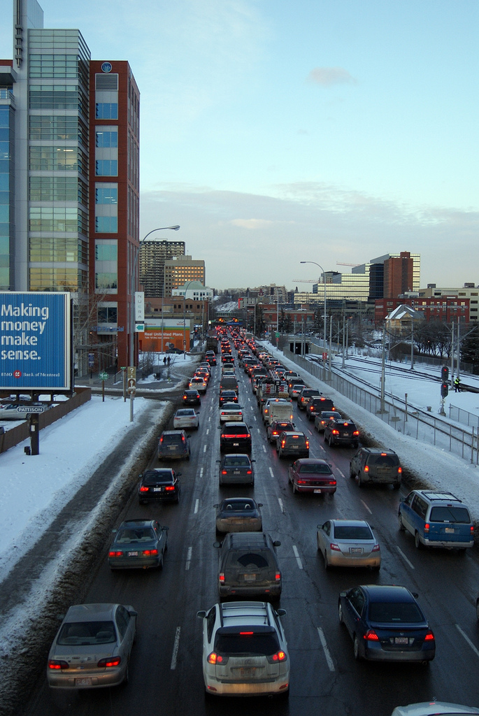
Macleod Trail effectively divides the southwest and the southeast quadrants of the city, and many communities (inner city as well as suburban) were developed along its course. Macleod Trail (along with Crowchild Trail and Deerfoot Trail) constitutes one of the three major north-south corridors of the city.
Beginning as a one-way street for northbound traffic (with southbound traffic following 1st Street SE one block to the west), the road passes by Calgary City Hall, Olympic Plaza, the building that housed the former Calgary Central Library, and the EPCOR Centre for the Performing Arts. South of downtown, it defines the western edge of the Calgary Stampede grounds, as it passes through the Beltline district, then provides access to the MNP Community & Sport Centre as it runs between the historic inner city communities of Mission and Ramsay. South of Elbow River, Macleod Trail becomes a two-way road and has various motels established on its sides, and Chinook Centre faces the road as it passes between the communities of Manchester, Manchester Industrial, Meadowlark Park, Kingsland and Fairview. Macleod Trail is lined with commercial developments on both sides for its entire length between Erlton and Lake Bonavista, including strip malls, auto malls, big-box stores and shopping centres such as Southcentre Mall, and Calgary's largest suburban office complex at Southland Park. The southern leg of the C-Train LRT system (Route 201) is also developed along Macleod Trail.
In November 2007, Calgary City Council approved a functional planning study for the portion of Macleod Trail that extends from Anderson Road north to Downtown. Expected recommendations include interchanges at Heritage Drive and Southland Drive, as well as possible traffic signal refinements. In addition, two other interchange locations are planned to be constructed within ten years. They are at the intersection with Lake Fraser gate and at the intersection with 194 Avenue. This would make Macleod Trail a freeway from Anderson Road to nearly the city limits. On August 13, 2017, the first diverging diamond interchange in Canada was opened at 162 Avenue.
Communities along route
- Downtown East Village
- Beltline (Victoria Park)
- Erlton
- Parkhill
- Elboya
- Manchester
- Windsor Park
- Meadowlark Park
- Kingsland / Fairview
- Haysboro / Acadia
- Southwood / Willow Park
- Canyon Meadows / Lake Bonavista
- Fish Creek Provincial Park
- Shawnee Slopes / Midnapore
- Millrise
- Shawnessy / Sundance
- Silverado / Chaparral
- Belmont / Walden
- Pine Creek / Legacy
Major intersections
From north to south: Victoria Bridge (northbound) and Pattison Bridge (southbound)
History
.jpg)
From 1949 to 1958, the Chinook Drive-In was located on Macleod Trail a half mile south of the Calgary city limits.
References
References
- "Macleod Trail". [[Google]].
- City of Calgary. (February 2005). "The Calgary Transportation Plan".
- City of Calgary. (July 2002). "Transportation System Map".
- Calgary Herald. (November 2007). "Alderman Urging Macleod Trail Study".
- City Of Calgary. (April 2007). "Calgary Regional Transportation Model Anticipated Projects List 2001-2015".
- City Of Calgary. (April 2007). "Calgary Regional Transportation Model Anticipated Projects List 2020-2035".
- (October 1, 2014). "Macleod Trail / 162 Avenue S Interchange". City of Calgary.
- (August 13, 2017). "Unique interchange, first of its kind in Canada, opens in south Calgary". CBC News.
- Yourex-West, Heather. (2017-08-14). "Canada’s first ‘diverging diamond interchange’ now open to Calgary traffic - Calgary {{!}} Globalnews.ca".
- (2014). "Sherlock's Map of Calgary". Sherlock Publishing Ltd..
- (April 2011). "Old North Trail". Ramsay Community Association.
- (October 10, 2012). "Lake Fraser Gate traffic improvements".
- (August 13, 2017). "Unique interchange, first of its kind in Canada, opens in south Calgary". CBC News.
- "Chinook Drive-In".
This article was imported from Wikipedia and is available under the Creative Commons Attribution-ShareAlike 4.0 License. Content has been adapted to SurfDoc format. Original contributors can be found on the article history page.
Ask Mako anything about Macleod Trail — get instant answers, deeper analysis, and related topics.
Research with MakoFree with your Surf account
Create a free account to save articles, ask Mako questions, and organize your research.
Sign up freeThis content may have been generated or modified by AI. CloudSurf Software LLC is not responsible for the accuracy, completeness, or reliability of AI-generated content. Always verify important information from primary sources.
Report