From Surf Wiki (app.surf) — the open knowledge base
Londonthorpe
Village in Lincolnshire, England
Village in Lincolnshire, England
| Field | Value |
|---|---|
| official_name | Londonthorpe |
| static_image | Londonthorpe - geograph.org.uk - 479737.jpg |
| static_image_width | 240px |
| static_image_caption | High Road, Londonthorpe |
| country | England |
| region | East Midlands |
| os_grid_reference | SK953379 |
| coordinates | |
| label_position | right |
| post_town | Grantham |
| postcode_area | NG |
| postcode_district | NG31 |
| constituency_westminster | Grantham and Stamford |
| civil_parish | Londonthorpe and Harrowby Without |
| shire_district | South Kesteven |
| shire_county | Lincolnshire |
| london_distance_mi | 110 |
| london_direction | S |
Londonthorpe is a village in the civil parish of Londonthorpe and Harrowby Without, in South Kesteven district of Lincolnshire, England. It lies 3 mi to the north-east from Grantham, 1 mi to the west from the B6403 (Ermine Street Roman road), and borders Belton Park in the west.
In 1921 the parish had a population of 183. On 1 April 1931 the parish was abolished to form "Londonthorpe and Harrowby Without".
According to A Dictionary of British Place Names 'Londonthorpe' derives from the Old Scandinavian lundr+thorp, meaning an "outlying farmstead or hamlet by a grove." In the Domesday account the village is written as "Lundertorp."
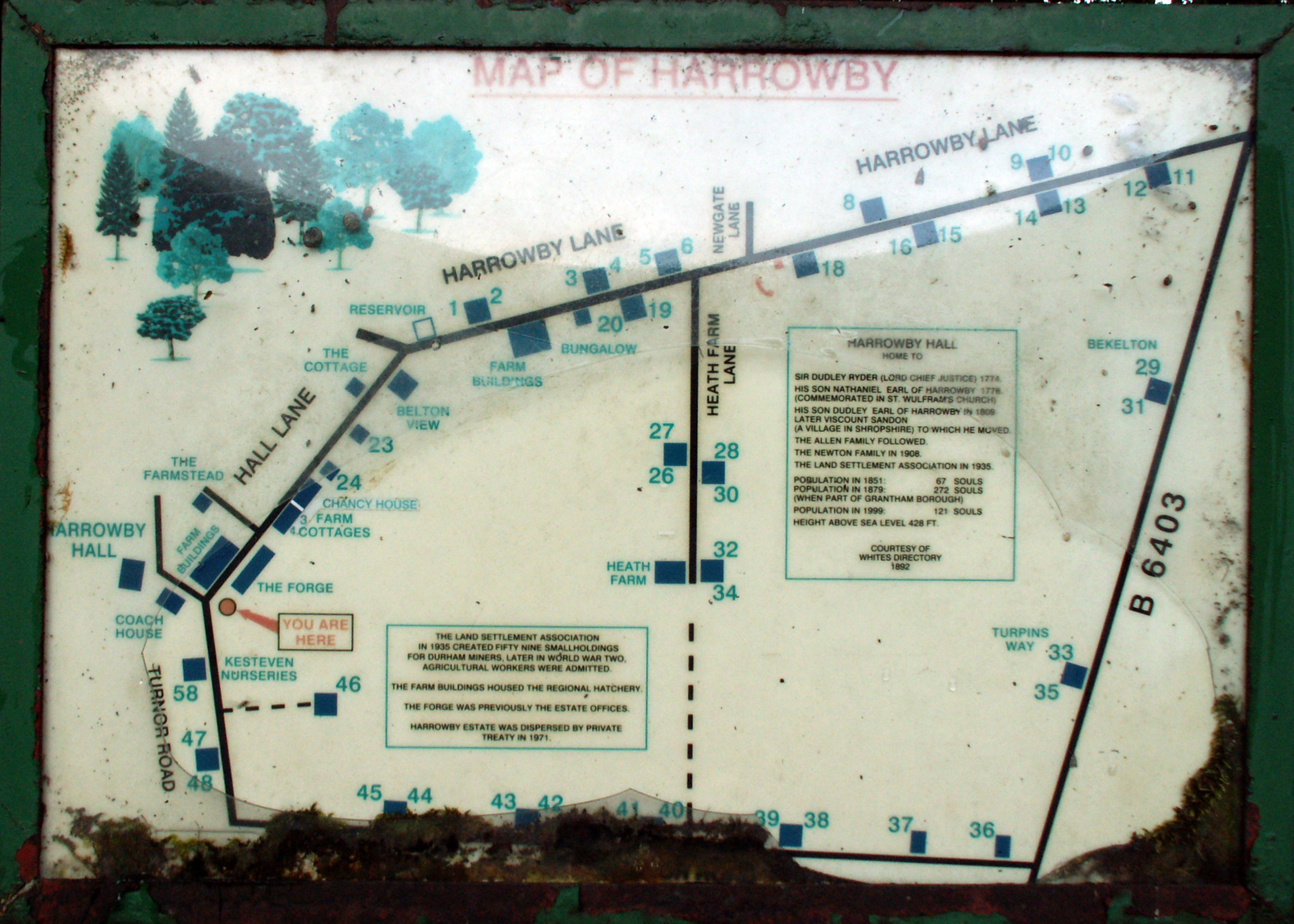
The enlarged parish includes the Grade II listed Harrowby Hall, formerly the family home of the Ryder family. Londonthorpe was an estate village of the Belton Estate. The village listed buildings include The Grange farm house, the Manor House, and various other houses and cottages. Listed buildings within the larger Londonthorpe and Harrowby parish include the Officer's Mess of the Second World War RAF Spitalgate, and buildings and structures within Belton Park.
The Grade II* listed parish church is dedicated to St John Baptist, the tower of which dates to the early 13th century and parts of the rood screen to the 15th. The church was rebuilt with a new roof in 1850, with considerable further restoration taking place in 1879. The churchyard contains the war graves of 32 Commonwealth armed service personnel of the First World War, at which time an army training camp existed at Belton Park to the west.
Earthworks, presumed to be remains of a garden terrace. lie to the west of the church.
Londonthorpe Wood, created in 1993 by the Woodland Trust, and Alma Park Wood are within the parish 1 mi to the west. The parish also includes Prince William of Gloucester Barracks (previously RAF Spitalgate) and parts of eastern Grantham, particularly Alma Park Industrial Estate.
During the 1930s the parish was a centre for the Land Settlement Association scheme, a social experiment where unemployed Durham and South Wales miners were offered specially built cottages with smallholdings of land and livestock, to encourage self-sufficiency.
References
References
- "Population statistics Londonthorpe AP/CP through time". [[A Vision of Britain through Time]].
- "Relationships and changes Londonthorpe AP/CP through time". A Vision of Britain through Time.
- Youngs, Frederic A. (1991). "Guide to Local Administrative Units: Northern England". Royal Historical Society.
- Mills, Anthony David (2003); ''A Dictionary of British Place Names'', [[Oxford University Press]], revised edition (2011), pp. 305. {{ISBN. 019960908X
- [[William Marrat. 1-143-37575-0
- "Londonthorpe | Domesday Book".
- [http://parishes.lincolnshire.gov.uk/LondonthorpeandHarrowbyWithout/section.asp?catId=15138 "History of the Parish"], ''Londonthorpe and Harrowby Without Parish Council'', [[Lincolnshire County Council]]. Retrieved 19 June 2011
- {{cite PastScape
- [http://www.britishlistedbuildings.co.uk/en-436361-the-grange-londonthorpe-and-harrowby-wit The Grange, Londonthorpe], British Listed Buildings. Retrieved 19 June 2011
- [http://www.britishlistedbuildings.co.uk/en-436367-manor-house-21-londonthorpe-and-harrowby Manor House, Londonthorpe], British Listed Buildings. Retrieved 19 June 2011
- [http://www.britishlistedbuildings.co.uk/england/lincolnshire/londonthorpe+and+harrowby+without British Listed Buildings: Londonthorpe]. Retrieved 19 June 2011
- Cox, J. Charles (1916) ''Lincolnshire''. [[Methuen Publishing. Methuen & Co. Ltd.]], p. 218
- [http://www.stjohnlondonthorpe.org.uk/public/index.php The Parish of St John the Baptist Londonthorpe], stjohnlondonthorpe.org.uk. Retrieved 19 June 2011
- {{cite PastScape
- {{NHLE
- [http://www.cwgc.org/find-a-cemetery/cemetery/41467/LONDONTHORPE%20(ST.%20JOHN%20THE%20BAPTIST)%20CHURCHYARD Londonthorpe (St John the Baptist) Churchyard], [[Commonwealth War Graves Commission]]. Retrieved 17 January 2015
- [https://heritage-explorer.lincolnshire.gov.uk/Monument/MLI34011 "Earthworks, west of Londonthorpe Church, Londonthorpe and Harrowby Without"], ''Lincolnshire Heritage Explorer''. Retrieved 12 April 2024
- [http://www.woodlandtrust.org.uk/visiting-woods/wood/4478/londonthorpe-wood/ Londonthorpe Wood], The Woodland Trust. Retrieved 19 June 2011
- [http://www.woodlandtrust.org.uk/visiting-woods/wood/4613/alma-park/ Alma Park Wood], The Woodland Trust. Retrieved 17 January 2015
- [http://www.streetmap.co.uk/place/Alma_Park_Industrial_Estate_in_Lincolnshire_504611_448611.htm Alma Park Industrial Estate], streetmap.co.uk. Retrieved 19 June 2011
This article was imported from Wikipedia and is available under the Creative Commons Attribution-ShareAlike 4.0 License. Content has been adapted to SurfDoc format. Original contributors can be found on the article history page.
Ask Mako anything about Londonthorpe — get instant answers, deeper analysis, and related topics.
Research with MakoFree with your Surf account
Create a free account to save articles, ask Mako questions, and organize your research.
Sign up freeThis content may have been generated or modified by AI. CloudSurf Software LLC is not responsible for the accuracy, completeness, or reliability of AI-generated content. Always verify important information from primary sources.
Report