From Surf Wiki (app.surf) — the open knowledge base
Lauderdale County, Alabama
County in Alabama, United States
County in Alabama, United States
| Field | Value |
|---|---|
| county | Lauderdale County |
| state | Alabama |
| founded year | 1818 |
| founded date | February 6 |
| seat wl | Florence |
| largest city wl | Florence |
| area_total_sq_mi | 721 |
| area_land_sq_mi | 668 |
| area_water_sq_mi | 53 |
| area percentage | 7.4 |
| population_as_of | 2020 |
| population_total | 93564 |
| pop_est_as_of | 2024 |
| population_est | 97502 |
| population_density_sq_mi | auto |
| time zone | Central |
| ex image | Lauderdale County Courthouse in Florence, Alabama.JPG |
| ex image cap | Lauderdale County Courthouse in Florence |
| website | |
| district | 4th |
| district2 | 5th |
| named for | James Lauderdale |
- County Number 41 on Alabama License Plates
Lauderdale County is a county located in the northwestern corner of the U.S. state of Alabama. At the 2020 census the population was 93,564. Its county seat is Florence. Its name is in honor of Colonel James Lauderdale, of Tennessee. Lauderdale is part of the Florence-Muscle Shoals, AL Metropolitan Statistical Area, also known as "The Shoals".
History
Lauderdale County was named in honor of Col. James Lauderdale who was born in Virginia in about 1780. In the early 19th century, Lauderdale, who moved to West Tennessee, became a major in General John Coffee's cavalry of volunteers. Later promoted to lieutenant colonel, he commanded a brigade of mounted riflemen, serving under Andrew Jackson. According to reliable historians, Col. Lauderdale did not die in the Battle of New Orleans, but was wounded in the Battle of Talladega and died on December 23, 1814, seventeen days before Jackson's decisive defeat of the British at New Orleans. Several towns and counties in the southern states were named in his honor, though it is said that he never set foot in Lauderdale County.
Lauderdale County was established in 1818, a year before Alabama became a state. Florence, the county seat of Lauderdale County, was also established in 1818. At this time a group of investors, under the name of Cypress Land Company purchased from the government 5515 acre of land consisting of the original town site. Other towns in Lauderdale County competing for early settlers because of their proximity to the river were Savage's Spring, 9 mi below Florence and Waterloo, some 20 mi downriver.
Among the older settlements in the county is Center Star, located between Killen and Rogersville. This area was once claimed by both the Chickasaws and Cherokees, necessitating a cession of territory from each tribe before the settlement could be established. At one time, the remains of an old Indian village could be seen southwest of Center Star. Other old settlements included Middleton and Elgin, the latter known first as Ingram's Elgin Cross Roads.
Rogersville, lying some 23 mi to the east of Florence, was named for John Rogers, an Indian trader, whose sons were fast friends of the great Sam Houston. The late Will Rogers is said to have been a descendant of this same family. An early ferry that operated for many years was Lamb's Ferry near Rogersville.
Lexington, Springfield, and Anderson lie to the north of the Lee Highway, the town of Lexington being a part of the territory once claimed by the Cherokee. Many of the settlers of that area came from Tennessee and the Carolinas. The first post office of record at Lexington was on the Loretto Road, north of town, in 1880. Mail at that time was brought in from Loretto, Tennessee, by horseback and carts.
The town of St. Florian was established in 1872 on the Jackson Highway and named by its Catholic founders (of German descent) for their patron saint.
Four Alabama governors were from the county - Hugh McVay, Robert M. Patton, Edward A. O'Neal and Emmett O'Neal.
Geography
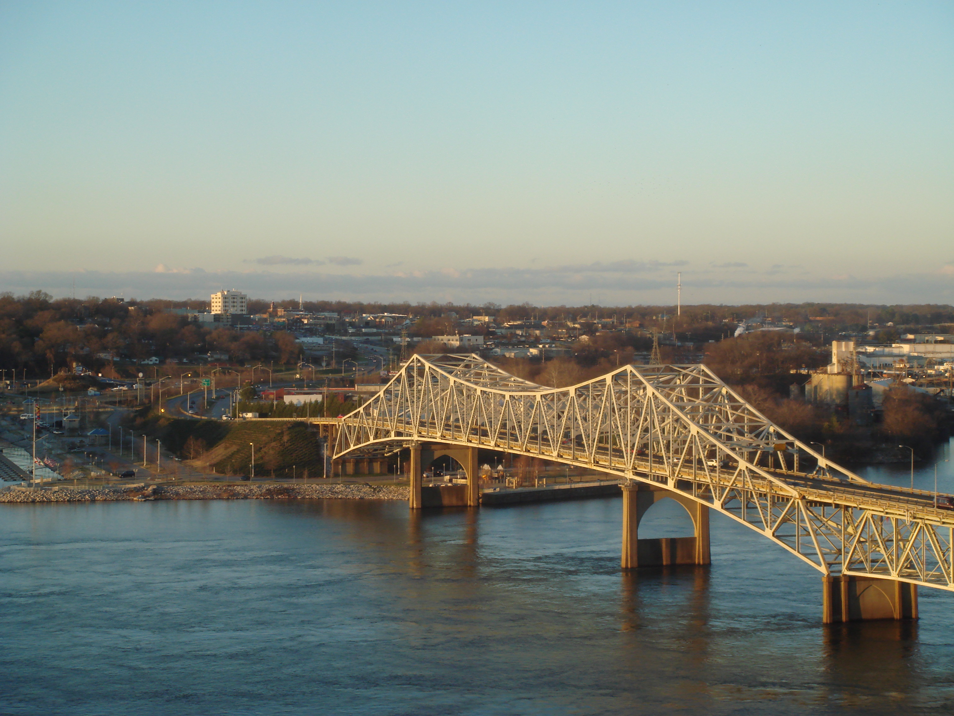
According to the United States Census Bureau, the county has a total area of 721 sqmi, of which 668 sqmi is land and 53 sqmi (7.4%) is water. The county's entire southern and western boundaries are dictated by the Tennessee River, essentially forming a wedge between the river and the state of Tennessee that even extends past the remainder of the border between Alabama and Mississippi.
National protected areas
- Key Cave National Wildlife Refuge
- Natchez Trace Parkway (part)
Rivers
- Tennessee River
- Elk River
Adjacent counties
- Wayne County, Tennessee - north
- Lawrence County, Tennessee - north
- Giles County, Tennessee - northeast
- Limestone County - east
- Lawrence County - southeast
- Colbert County - south
- Tishomingo County, Mississippi - west
- Hardin County, Tennessee - northwest
Demographics
|align-fn=center 1790–1960 1900–1990 1990–2000 2010–2020
2020 census
| Race / Ethnicity (NH = Non-Hispanic) | title=P004 Hispanic or Latino, and Not Hispanic or Latino by Race – 2000: DEC Summary File 1 – Lauderdale County, Alabama | url=https://data.census.gov/table?q=p004&g=050XX00US01077&tid=DECENNIALSF12000.P004 | website=United States Census Bureau}} | title=P2 Hispanic or Latino, and Not Hispanic or Latino by Race – 2010: DEC Redistricting Data (PL 94-171) – Lauderdale County, Alabama | url=https://data.census.gov/table?q=p2&g=050XX00US01077&tid=DECENNIALPL2010.P2 | website=United States Census Bureau}} | % 2000 | % 2010 |
|---|---|---|---|---|---|---|---|---|
| White alone (NH) | 77,240 | 79,228 | 76,491 | 87.81% | ||||
| Black or African American alone (NH) | 8,624 | 9,190 | 9,164 | 9.80% | ||||
| Native American or Alaska Native alone (NH) | 219 | 323 | 295 | 0.25% | ||||
| Asian alone (NH) | 305 | 675 | 748 | 0.35% | ||||
| Pacific Islander alone (NH) | 13 | 23 | 31 | 0.01% | ||||
| Other race alone (NH) | 47 | 40 | 204 | 0.05% | ||||
| Mixed race or Multiracial (NH) | 624 | 1,148 | 3,553 | 0.71% | ||||
| Hispanic or Latino (any race) | 894 | 2,082 | 3,078 | 1.02% | ||||
| Total | 87,966 | 92,709 | 93,564 | 100.00% |
As of the 2020 census, the county had a population of 93,564. The median age was 41.2 years. 19.9% of residents were under the age of 18 and 20.3% of residents were 65 years of age or older. For every 100 females there were 92.3 males, and for every 100 females age 18 and over there were 89.1 males age 18 and over.
The racial makeup of the county was 82.4% White, 9.9% Black or African American, 0.4% American Indian and Alaska Native, 0.8% Asian, 0.0% Native Hawaiian and Pacific Islander, 1.7% from some other race, and 4.8% from two or more races. Hispanic or Latino residents of any race comprised 3.3% of the population.
47.8% of residents lived in urban areas, while 52.2% lived in rural areas.
There were 39,544 households in the county, of which 26.3% had children under the age of 18 living with them and 30.2% had a female householder with no spouse or partner present. About 32.1% of all households were made up of individuals and 13.9% had someone living alone who was 65 years of age or older.
There were 44,585 housing units, of which 11.3% were vacant. Among occupied housing units, 66.7% were owner-occupied and 33.3% were renter-occupied. The homeowner vacancy rate was 1.7% and the rental vacancy rate was 8.0%.
2010
According to the 2010 United States census, resident were:
- 86.4% White
- 10.0% Black
- 0.4% Native American
- 0.7% Asian
- 0.0% Native Hawaiian or Pacific Islander
- 1.4% Two or more races
- 2.2% Hispanic or Latino (of any race)
2000
As of the census of 2000, there were 87,966 people, 36,088 households and 25,153 families residing in the county. The population density was 131 /mi2. There were 40,424 housing units at an average density of 60 /mi2. The racial make-up was 84.38% White or European American, 13.85% Black or African American, 0.25% Native American, 0.35% Asian, 0.02% Pacific Islander, 0.36% from other races and 0.79% from two or more races. 1.02% of the population were Hispanic or Latino of any race.
In 2005, 87.8% of the county population was non-Hispanic whites. African Americans were 11.7% of the population and Latinos 1.2% of the population.
According to the 2000 census, the largest ancestry groups in Lauderdale County were English 41.9%, African 13.85%, Scots-Irish 9.66%, Scottish 4.11%, Irish 3.19% and Welsh 2.5%
In 2000, there were 36,088 households, of which 30.40% had children under the age of 18 living with them, 55.80% were married couples living together, 10.80% had a female householder with no husband present, and 30.30% were non-families. 26.40% of all households were made up of individuals, and 11.00% had someone living alone who was 65 years of age or older. The average household size was 2.39 and the average family size was 2.89.
23.00% of the population were under the age of 18, 10.10% from 18 to 24, 27.90% from 25 to 44, 23.90% from 45 to 64 and 15.10% were 65 years of age or older. The median age was 38 years. For every 100 females, there were 91.70 males. For every 100 females age 18 and over, there were 88.20 males.
The median household income was $33,354 and the median family income was $41,438. Males had a median income of $33,943 and females $20,804. The per capita income was $18,626. About 10.50% of families and 14.40% of the population were below the poverty line, including 18.50% of those under age 18 and 11.30% of those age 65 or over.
Transportation
Major highways
- [[Image:US 43.svg|20px]] U.S. Highway 43
- [[Image:US 72.svg|20px]] U.S. Highway 72
- [[Image:Alabama 17.svg|20px]] State Route 17
- [[Image:Alabama 20.svg|20px]] State Route 20
- [[Image:Alabama 64.svg|20px]] State Route 64
- [[Image:Alabama 101.svg|20px]] State Route 101
- [[Image:Alabama 133.svg|20px]] State Route 133
- [[Image:Alabama 157.svg|20px]] State Route 157
- [[Image:Alabama 207.svg|20px]] State Route 207
Rail
- Tennessee Southern Railroad
Points of interest
Lauderdale County is the location of the W. C. Handy Home and Museum and the Rosenbaum House.
Recreation
- Joe Wheeler State Park
- North Alabama Birding Trail - collection of birdwatching areas.
- Natchez Trace Parkway - 444 mi of linear park and roadway that travel from Nashville, Tennessee to Natchez, Mississippi. It has road pull-offs with educational kiosks with information about the land, history, and native species.
- Shoal Creek Preserve Tract - a 298 acre tract for the preservation of native plants and animals. The land also has recreational opportunities, including bird watching, a horse trail loop that is 2.1 mi long, 4.2 mi of hiking trails and limited hunting. This tract is located north of St. Florian, Alabama.
Politics
Lauderdale County is reliably Republican at the presidential level. The last Democrat to win the county in a presidential election is Bill Clinton, who won it by a plurality in 1992.
Education
Lauderdale County School District serves areas outside of Florence, while Florence City Schools serve people in Florence itself.
Communities

City
- Florence (county seat)
Towns
- Anderson
- Killen
- Lexington
- Rogersville
- St. Florian
- Waterloo
Census-designated place
- Underwood-Petersville
Unincorporated communities
- Bailey Springs
- Center Star
- Cloverdale
- Elgin
- Grassy
- Green Hill
- Mars Hill
- Oakland
- Rhodesville
- Smithsonia
- Stewartville
- Threet
- Wright
- Zip City
Ghost town
- Bainbridge
References
References
- "State & County QuickFacts". United States Census Bureau.
- "Find a County". National Association of Counties.
- Gannett, Henry. (1905). "The Origin of Certain Place Names in the United States". U.S. Government Printing Office.
- A digest of the laws of the State of Alabama: containing the statutes and resolutions in force at the end of the General Assembly in January, 1823. Published by Ginn & Curtis, J. & J. Harper, Printers, New-York, 1828. Title 10. Chapter XII. Page 85. [https://archive.org/details/bub_gb_JvtKAAAAYAAJ/page/n26 An Act to establish the western and southern Boundaries of Madison County, and to establish the Counties of Limestone and Lauderdale--Passed February 6, 1818.]
- "The History of Lauderdale County". Lauderdale County, Alabama Government.
- (August 22, 2012). "2010 Census Gazetteer Files". United States Census Bureau.
- "County Population Totals and Components of Change: 2020-2024". United States Census Bureau.
- "U.S. Decennial Census". United States Census Bureau.
- "Historical Census Browser". University of Virginia Library.
- (March 24, 1995). "Population of Counties by Decennial Census: 1900 to 1990". United States Census Bureau.
- (April 2, 2001). "Census 2000 PHC-T-4. Ranking Tables for Counties: 1990 and 2000". United States Census Bureau.
- "P004 Hispanic or Latino, and Not Hispanic or Latino by Race – 2000: DEC Summary File 1 – Lauderdale County, Alabama".
- "P2 Hispanic or Latino, and Not Hispanic or Latino by Race – 2010: DEC Redistricting Data (PL 94-171) – Lauderdale County, Alabama".
- "P2 Hispanic or Latino, and Not Hispanic or Latino by Race – 2020: DEC Redistricting Data (PL 94-171) – Lauderdale County, Alabama".
- (2021). "2020 Decennial Census Demographic Profile (DP1)".
- (2021). "2020 Decennial Census Redistricting Data (Public Law 94-171)".
- (2023). "2020 Decennial Census Demographic and Housing Characteristics (DHC)".
- "U.S. Census website". [[United States Census Bureau]].
- "U.S. Census website". [[United States Census Bureau]].
- "26. The Shoal Creek Preserve Tract". Outdoor Alabama: Alabama Department of Conservation and Natural Resources.
- "Dave Leip's Atlas of U.S. Presidential Elections".
- "2020 CENSUS - SCHOOL DISTRICT REFERENCE MAP: Lauderdale County, AL". [[U.S. Census Bureau]].
This article was imported from Wikipedia and is available under the Creative Commons Attribution-ShareAlike 4.0 License. Content has been adapted to SurfDoc format. Original contributors can be found on the article history page.
Ask Mako anything about Lauderdale County, Alabama — get instant answers, deeper analysis, and related topics.
Research with MakoFree with your Surf account
Create a free account to save articles, ask Mako questions, and organize your research.
Sign up freeThis content may have been generated or modified by AI. CloudSurf Software LLC is not responsible for the accuracy, completeness, or reliability of AI-generated content. Always verify important information from primary sources.
Report