From Surf Wiki (app.surf) — the open knowledge base
Lakeville, Indiana
| Field | Value | |
|---|---|---|
| official_name | Lakeville, Indiana | |
| settlement_type | Town | |
| image_blank_emblem | LakevilleINlogo.png | |
| blank_emblem_type | Logo | |
| motto | ||
| image_skyline | Lakeville-indiana-downtown.jpg | |
| image_caption | Lakeville downtown | |
| image_flag | Flag of Lakeville, Indiana.svg | |
| image_seal | ||
| image_map | File:St. Joseph County Indiana Incorporated and Unincorporated areas Lakeville Highlighted 1841670.svg | |
| mapsize | 250x200px | |
| map_caption | Location of Lakeville in St. Joseph County, Indiana. | |
| map_caption1 | ||
| subdivision_type | Country | |
| subdivision_name | United States | |
| subdivision_type1 | State | |
| subdivision_name1 | Indiana | |
| subdivision_type2 | County | |
| subdivision_name2 | St. Joseph | |
| subdivision_type3 | Township | |
| subdivision_name3 | Union | |
| established_date | ||
| area_footnotes | ||
| unit_pref | Imperial | |
| area_land_km2 | 1.63 | |
| area_water_km2 | 0.01 | |
| area_total_km2 | 1.64 | |
| area_total_sq_mi | 0.63 | |
| area_land_sq_mi | 0.63 | |
| area_water_sq_mi | 0.00 | |
| <!-- Population --> | population_as_of | 2020 |
| population_total | 879 | |
| population_density_km2 | 538.04 | |
| population_density_sq_mi | 1393.03 | |
| timezone | Eastern (EST) | |
| utc_offset | -5 | |
| timezone_DST | EDT | |
| utc_offset_DST | -4 | |
| elevation_footnotes | ||
| elevation_ft | 853 | |
| coordinates | ||
| postal_code_type | ZIP code | |
| postal_code | 46536 | |
| area_code | 574 | |
| blank_name | FIPS code | |
| blank_info | 18-41670 | |
| blank1_name | GNIS feature ID | |
| blank1_info | 2396705 | |
| website |
Lakeville is a town 11 mi south of South Bend in Union Township, St. Joseph County, in the U.S. state of Indiana. The population was 786 at the 2010 Census. It is part of the South Bend–Mishawaka metropolitan area.
History
The area of Lakeville was first settled by Euro-Americans in 1836. The railroad in 1845 spurred further growth. By the 1890s there were 13 one-room school houses in the vicinity. In 1898 they were consolidated into one two-story elementary school in Lakeville. The town of Lakeville was incorporated in 1902.
The Lakeville post office has been in operation since 1850.
Lakeville High School was listed on the National Register of Historic Places in 1991.
Hoosier Racing Tire Corporation, owned since 2016 by parent company Continental AG has their Headquarters, Track Services, and Warehouse operations in Lakeville with Manufacturing located 20 miles south in Plymouth, Indiana.
Lakeville was the site of two different multiple murders. In 1989, four members of the family of Reverend Bob Pelley were shot dead in their Lakeville home. In 2000, three workmen were shot and killed in an upscale home in Lakeville. The 2000 case has been featured twice on television documentaries, once in an episode of Extreme Forensics on June 7, 2010, titled "Rooted in Murder", and once in an episode of Forensic Files II on March 13, 2022, titled "Dog Proof".
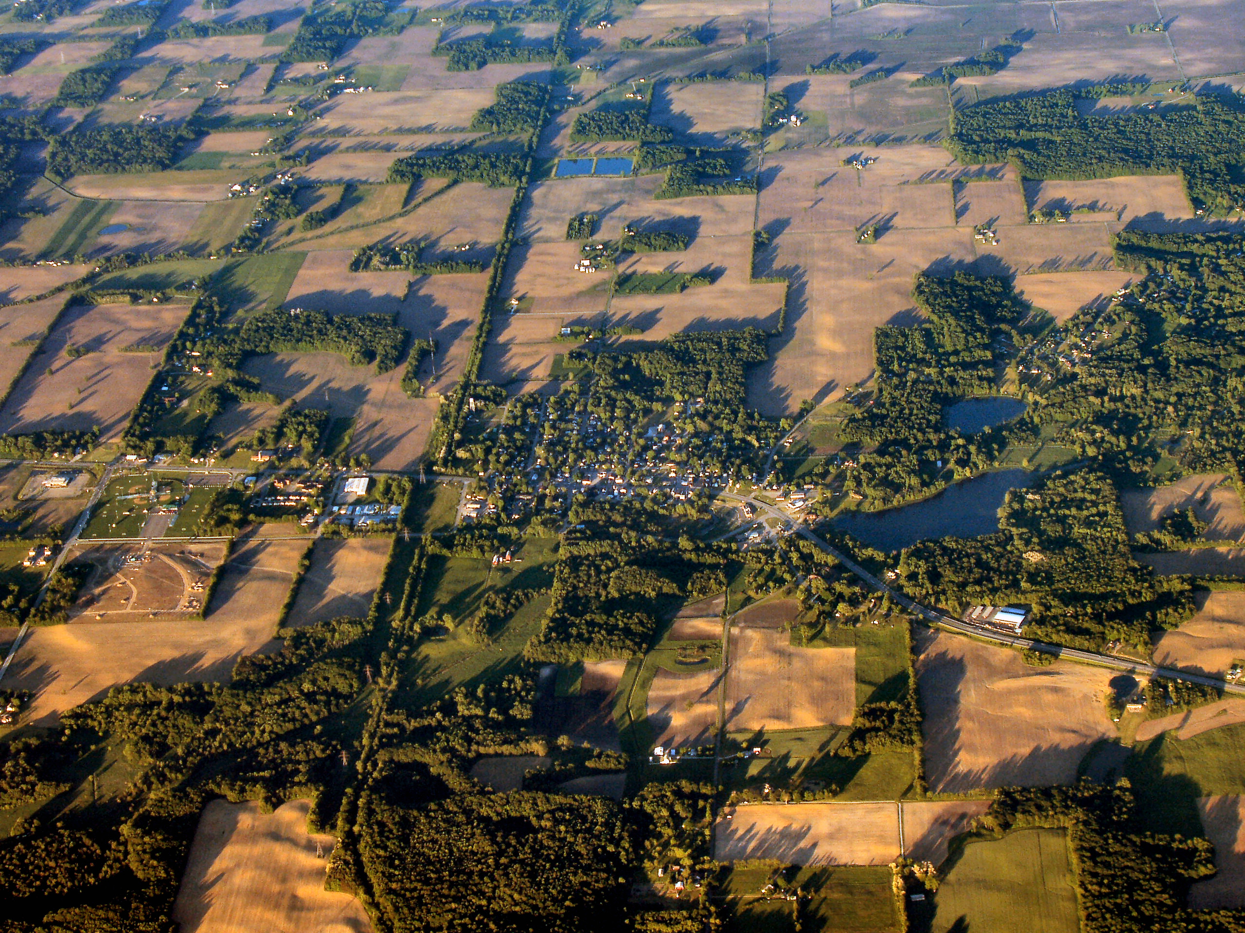
Geography
According to the 2010 census, Lakeville has a total area of 0.61 sqmi, all land.{{cite web |archive-url=https://archive.today/20200213041930/http://factfinder.census.gov/bkmk/table/1.0/en/DEC/10_SF1/G001/1600000US1841670 |archive-date=February 13, 2020 |url-status=dead
Climate
|Jan record high F = 64 |Feb record high F = 72 |Mar record high F = 84 |Apr record high F = 86 |May record high F = 93 |Jun record high F = 97 |Jul record high F = 100 |Aug record high F = 96 |Sep record high F = 94 |Oct record high F = 87 |Nov record high F = 78 |Dec record high F = 69
|Jan avg record high F = 53.2 |Feb avg record high F = 55.7 |Mar avg record high F = 68.1 |Apr avg record high F = 78.5 |May avg record high F = 85.9 |Jun avg record high F = 90.9 |Jul avg record high F = 91.2 |Aug avg record high F = 90.1 |Sep avg record high F = 87.8 |Oct avg record high F = 80.4 |Nov avg record high F = 66.5 |Dec avg record high F = 55.7 |year avg record high F = 93.1
|Jan avg record low F = -6.2 |Feb avg record low F = -1.5 |Mar avg record low F = 9.0 |Apr avg record low F = 22.7 |May avg record low F = 33.0 |Jun avg record low F = 43.3 |Jul avg record low F = 49.1 |Aug avg record low F = 48.3 |Sep avg record low F = 37.9 |Oct avg record low F = 27.5 |Nov avg record low F = 16.9 |Dec avg record low F = 3.3 |year avg record low F = -10.2
|Jan record low F = -22 |Feb record low F = -20 |Mar record low F = -6 |Apr record low F = 15 |May record low F = 25 |Jun record low F = 35 |Jul record low F = 41 |Aug record low F = 40 |Sep record low F = 30 |Oct record low F = 23 |Nov record low F = 4 |Dec record low F = -19
|access-date = March 5, 2023 |access-date = March 5, 2023
Demographics
2010 census
As of the census of 2010, there were 786 people, 367 households, and 193 families living in the town. The population density was 1288.5 PD/sqmi. There were 438 housing units at an average density of 718.0 /sqmi. The racial makeup of the town was 97.5% White, 0.1% African American, 0.4% Native American, 0.5% from other races, and 1.5% from two or more races. Hispanic or Latino of any race were 3.2% of the population.
There were 367 households, of which 31.3% had children under the age of 18 living with them, 33.2% were married couples living together, 15.3% had a female householder with no husband present, 4.1% had a male householder with no wife present, and 47.4% were non-families. 42.0% of all households were made up of individuals, and 14.7% had someone living alone who was 65 years of age or older. The average household size was 2.14 and the average family size was 2.94.
The median age in the town was 36.5 years. 24.7% of residents were under the age of 18; 8% were between the ages of 18 and 24; 26.7% were from 25 to 44; 26.7% were from 45 to 64; and 13.9% were 65 years of age or older. The gender makeup of the town was 49.0% male and 51.0% female.
2000 census
As of the census of 2000, there were 567 people, 274 households, and 143 families living in the town. The population density was 1,082.5 PD/sqmi. There were 300 housing units at an average density of 572.8 /sqmi. The racial makeup of the town was 97.71% White, 0.35% African American, 0.18% Pacific Islander, 0.18% from other races, and 1.59% from two or more races. Hispanic or Latino of any race were 1.59% of the population.

There were 274 households, out of which 21.2% had children under the age of 18 living with them, 35.0% were married couples living together, 13.9% had a female householder with no husband present, and 47.8% were non-families. 43.1% of all households were made up of individuals, and 12.8% had someone living alone who was 65 years of age or older. The average household size was 2.07 and the average family size was 2.90.
In the town, the population was spread out, with 22.2% under the age of 18, 11.6% from 18 to 24, 28.7% from 25 to 44, 18.7% from 45 to 64, and 18.7% who were 65 years of age or older. The median age was 37 years. For every 100 females, there were 85.9 males. For every 100 females age 18 and over, there were 86.9 males.
The median income for a household in the town was $28,438, and the median income for a family was $43,309. Males had a median income of $31,033 versus $23,036 for females. The per capita income for the town was $15,885. About 13.5% of families and 13.6% of the population were below the poverty line, including 27.2% of those under age 18 and none of those age 65 or over.
Education
Public schools in Lakeville are operated by Union-North United Schools.
Lakeville has a public library, a branch of the St Joseph County Public Library.
References
References
- "2020 U.S. Gazetteer Files". United States Census Bureau.
- "U.S. Census website". [[United States Census Bureau]].
- {{GNIS. 2396705
- [http://www.lakevilleindiana.org/town-history.htm History of Lakeville] {{webarchive. link. (May 17, 2012)
- "Saint Joseph County". Jim Forte Postal History.
- {{NRISref
- "Evidence photos: Pelley family quadruple murder". CBS News.
- "STROUD, PHILLIP A. # 97 OFF DEATH ROW SINCE 05-25-04". Clark County Prosecutor.
- "Rooted in Murder". IMDB.
- "Census of Population and Housing". Census.gov.
- "U.S. Census website". [[United States Census Bureau]].
- "Locations and hours". St Joseph County Public Library.
This article was imported from Wikipedia and is available under the Creative Commons Attribution-ShareAlike 4.0 License. Content has been adapted to SurfDoc format. Original contributors can be found on the article history page.
Ask Mako anything about Lakeville, Indiana — get instant answers, deeper analysis, and related topics.
Research with MakoFree with your Surf account
Create a free account to save articles, ask Mako questions, and organize your research.
Sign up freeThis content may have been generated or modified by AI. CloudSurf Software LLC is not responsible for the accuracy, completeness, or reliability of AI-generated content. Always verify important information from primary sources.
Report