From Surf Wiki (app.surf) — the open knowledge base
Kunturiri (Bolivia and Chile)
South American volcano
South American volcano
| Field | Value |
|---|---|
| name | Kunturiri |
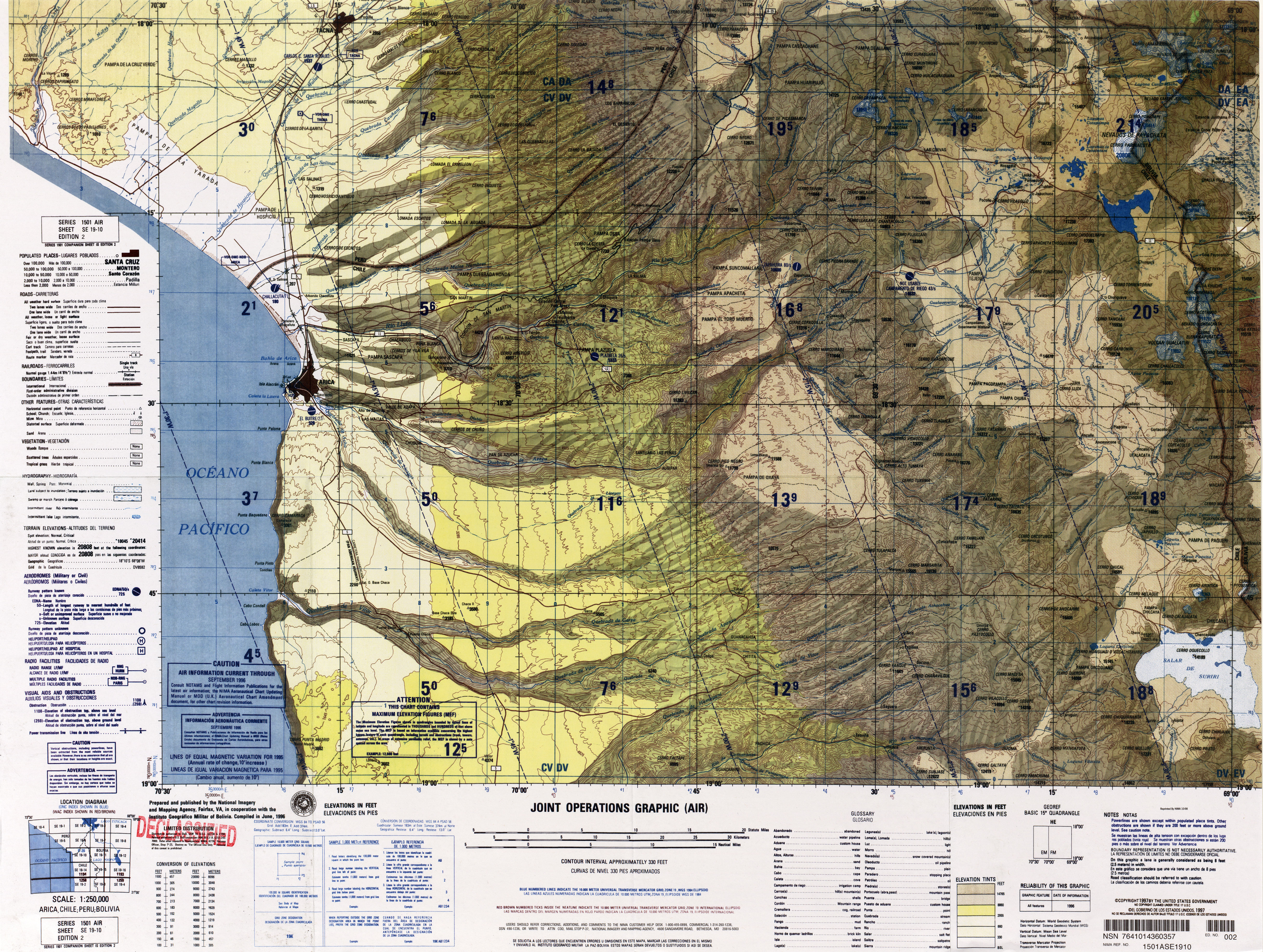
| photo | Txu-oclc-224571178-se19-10 (Condoriri).jpg |
| photo_caption | Map of the Kunturiri complex |
| elevation_m | 5762 |
| elevation_ref | |
| location | Bolivia / Chile |
| range | Andes |
| map | Bolivia |
| map_caption | Location in Bolivia, on the border with Chile |
| label_position | right |
| map_size | 250 |
| coordinates | |
| age | 650,000 ± 70,000 years |
the mountain on the border of Bolivia and Chile
Kunturiri (Aymara kunturi condor, -ri a suffix, Hispanicized spelling Condoriri) is a volcano in the Andes on the border of Bolivia and Chile which rises up to 5762 m. On the Chilean side it is located in the Arica and Parinacota Region and on the Bolivian side in the Oruro Department, Sajama Province, Curahuara de Carangas Municipality, Sajama Canton as well as in the La Paz Department, Pacajes Province, Calacoto Municipality, Ulloma Canton.
Northeast of it in Bolivian territory lies Jach'a Kunturiri, due east lies Nevado Pumuta, due south Patilla Pata and northwest lies Laram Q'awa. The mountain is covered by ice along with some of the surrounding mountains and is the source of a number of rivers that flow down its slopes. There are several lakes on the mountain, colloquially known as the Casiri Lakes; they include Sora Pata, Ch'iyar Quta, Casiri Macho and Casiri Hembra.
Kunturiri is part of a complex of volcanoes along the frontier between Bolivia and Chile, which have developed atop older ignimbrites of unknown thickness. Three separate stratovolcanoes generated through both effusive eruptions and explosive eruptions make up the Kunturiri complex and produced lava flows with lengths reaching 8 km. It is formed by rocks ranging from rhyodacite to rhyolite and which contain phenocrysts of biotite, plagioclase and pyroxene.
The Kunturiri volcanic complex 3-2.2 million years ago was the origin of the large Lauca-Perez Ignimbrite, which covered about 15000 - of land with over 775 km3 and reached as far as the Pacific Ocean, leaving a distinctive landscape on the Altiplano. The eruption left a caldera now presumably buried underneath the Kunturiri volcanic complex. While the volcanic complex was once considered to be 7-9 million years old, later efforts have found younger ages and argon-argon dating has yielded ages of 413,000 ± 5,000 and 650,000 ± 70,000 years ago for rocks erupted from the Kunturiri volcanic complex; there is no fumarolic activity at Kunturiri, but Kakepe has hydrothermal activity. Glacial erosion and hydrothermal alteration have affected the complex.
Other volcanoes in the area are Pomerape and Parinacota which are constructed on the so-called Condoriri lineament together with Kunturiri; this lineament may act as a magma pathway to the three volcanoes.
References
References
- BIGM map 1:50,000 Nevados Payachata Hoja 5739-I
- Clavero, J.E.; Sparks, R.S.J.; Polanco, E. 2012. Geología del Volcán Parinacota, Región de Arica y Parinacota (versión corregida). Servicio Nacional de Geología y Minería, Carta Geológica de Chile, Serie Geología Básica 132: 31 p.11, 1 mapa escala 1:50.000.
- [http://www.aymara.ucb.edu.bo/html/diccionario/dicframe.html aymara.ucb.edu.bo] {{webarchive. link. (2013-09-02 Félix Layme Payrumani, Spanish-Aymara dictionary)
- Defense Mapping Agency. (1995). "Latin America, Joint Operations Graphic".
- (18 August 2022). "The life history of Itylos titicaca (Weymer 1890) (Lepidoptera, Lycaenidae, Polyommatina) at 5200 m in the Chilean altiplano". Nota Lepidopterologica.
- (25 August 2016). "RECONSTRUCCIÓN GEOLÓGICA DEL VOLCÁN CHULLCANI (MIOCENO SUPERIOR A PLIOCENO SUPERIOR): CONSIDERACIONES GENERALES SOBRE GEOQUÍMICA Y EDAD DE LAS FASES VOLCÁNICAS, ANDES CENTRALES DE BOLIVIA". Revista Brasileira de Geociências.
- (2018). "Carta Lago Chungará, Región de Arica y Parinacota.".
- (1990). "Geochemical report on the Sajama geothermal area, Bolivia".
- (1996). "Widespread Cenozoic ignimbrites in N-Chile, W-Bolivia and S-Peru (17°-200S/710-680E): Stratigraphy, extension, correlation and origin".
- (2018). "Carta Lago Chungará, Región de Arica y Parinacota.".
- (December 2004). "Evolution of Parinacota volcano, Central Andes, Northern Chile". Revista Geológica de Chile.
- (2018). "Carta Lago Chungará, Región de Arica y Parinacota.".
- (1 March 2007). "Volcano evolution and eruptive flux on the thick crust of the Andean Central Volcanic Zone: 40Ar/39Ar constraints from Volcan Parinacota, Chile". Geological Society of America Bulletin.
This article was imported from Wikipedia and is available under the Creative Commons Attribution-ShareAlike 4.0 License. Content has been adapted to SurfDoc format. Original contributors can be found on the article history page.
Ask Mako anything about Kunturiri (Bolivia and Chile) — get instant answers, deeper analysis, and related topics.
Research with MakoFree with your Surf account
Create a free account to save articles, ask Mako questions, and organize your research.
Sign up freeThis content may have been generated or modified by AI. CloudSurf Software LLC is not responsible for the accuracy, completeness, or reliability of AI-generated content. Always verify important information from primary sources.
Report