From Surf Wiki (app.surf) — the open knowledge base
Klickitat County, Washington
County in Washington, United States

County in Washington, United States
| Field | Value |
|---|---|
| county | Klickitat County |
| state | Washington |
| founded year | 1859 |
| founded date | December 20 |
| named for | Klickitat Tribe |
| seat wl | Goldendale |
| largest city wl | Goldendale |
| area_total_sq_mi | 1904 |
| area_land_sq_mi | 1871 |
| area_water_sq_mi | 33 |
| area percentage | 1.7% |
| population_as_of | 2020 |
| population_total | 22735 |
| pop_est_as_of | 2024 |
| population_est | 24124 |
| density_sq_mi | 11.6 |
| time zone | Pacific |
| web | www.klickitatcounty.org |
| ex image | Goldendale WA - county courthouse.jpg |
| ex image cap | Klickitat County Courthouse |
| district | 4th |
Klickitat County is a county located in the U.S. state of Washington. As of the 2020 census, its population was 22,735. The county seat and largest city is Goldendale. The county is named after the Klickitat tribe and contains part of the Yakama Indian Reservation.
History
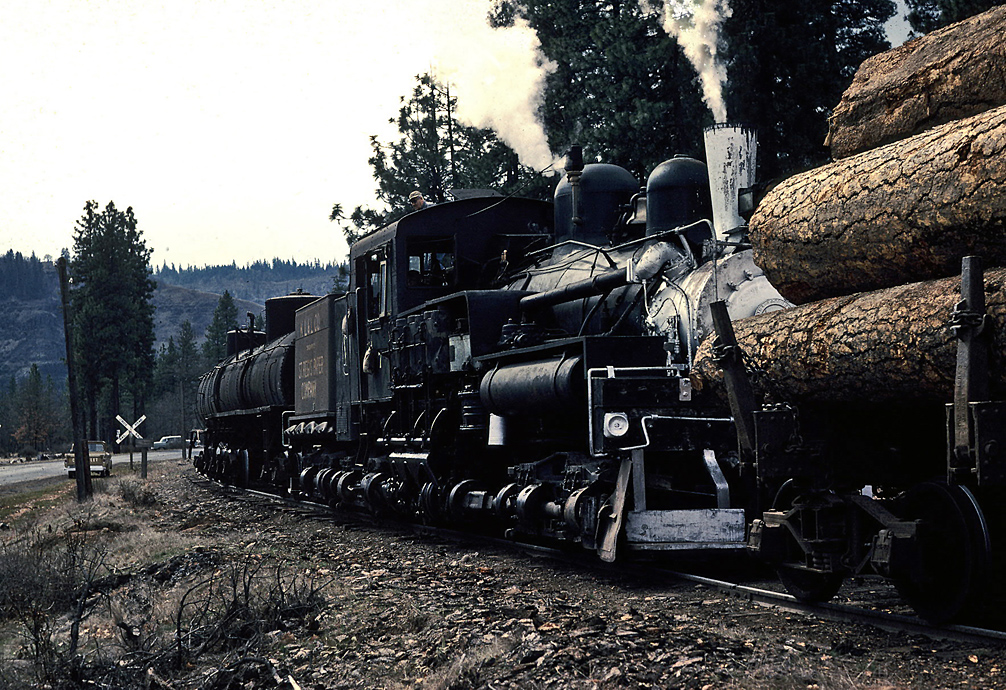
Klickitat County was created out of Walla Walla County on December 20, 1859. Samuel Hill was an early promoter of the area, promoting better roads and building local landmarks such as a war-memorial replica of Stonehenge (Maryhill Stonehenge) and a mansion that would become the Maryhill Museum of Art. The Sam Hill Memorial Bridge across the Columbia River is named after him.
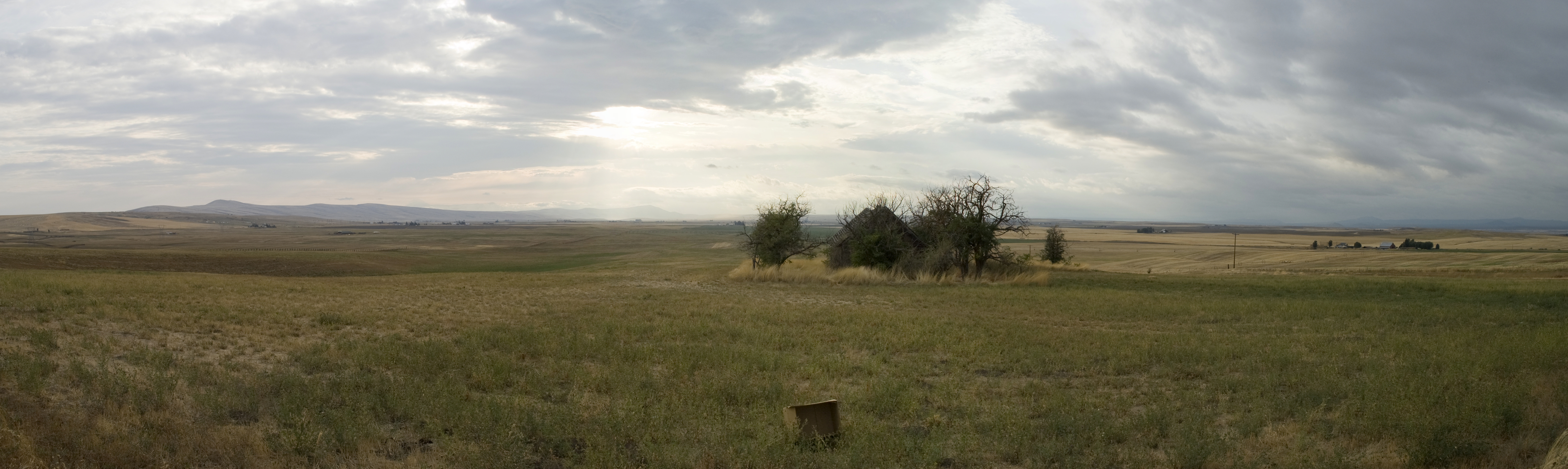
Geography
According to the United States Census Bureau, the county has a total area of 1904 sqmi, of which 33 sqmi (1.7%) are covered by water.
Geographic features
- Cascade Mountains
- Columbia River
Major highways
- [[Image:US 97.svg|20px]] U.S. Route 97
- [[Image:WA-14.svg|20px]] State Route 14
- [[Image:WA-141.svg|20px]] State Route 141
- [[Image:WA-142.svg|20px]] State Route 142
Adjacent counties
- Yakima County - north
- Benton County - northeast
- Morrow County, Oregon - southeast
- Gilliam County, Oregon - southeast
- Sherman County, Oregon - south
- Hood River County, Oregon - southwest
- Wasco County, Oregon - southwest
- Skamania County - west
National protected areas
- Conboy Lake National Wildlife Refuge
- Gifford Pinchot National Forest (part)
Demographics
|align-fn=center 1790–1960 1900–1990 1990–2000 2010–2020
2020 census
As of the 2020 census, the county had a population of 22,735. Of the residents, 19.5% were under the age of 18 and 23.7% were 65 years of age or older; the median age was 46.0 years. For every 100 females there were 104.9 males, and for every 100 females age 18 and over there were 104.6 males. 20.3% of residents lived in urban areas and 79.7% lived in rural areas.
4.6% of residents were under the age of 5.
The population density of the county was 12.1 people per square mile, which went up from 10.9 in 2010.
| Race / Ethnicity (NH = Non-Hispanic) | title=P004: Hispanic or Latino, and Not Hispanic or Latino by Race – 2000: DEC Summary File 1 – Klickitat County, Washington | url=https://data.census.gov/table/DECENNIALSF12000.P004?q=P004:+HISPANIC+OR+LATINO,+AND+NOT+HISPANIC+OR+LATINO+BY+RACE+[73]&g=050XX00US53039 | publisher=United States Census Bureau | access-date= }} | title=P2 Hispanic or Latino, and Not Hispanic or Latino by Race – 2010: DEC Redistricting Data (PL 94-171) - Klickitat County, Washington | url=https://data.census.gov/table/DECENNIALPL2010.P2?q=p2&g=050XX00US53039 | website=United States Census Bureau}} | % 2000 | % 2010 |
|---|---|---|---|---|---|---|---|---|---|
| White alone (NH) | 16,329 | 17,022 | 17,731 | 85.22% | |||||
| Black or African American alone (NH) | 26 | 42 | 64 | 0.14% | |||||
| Native American or Alaska Native alone (NH) | 639 | 434 | 503 | 3.33% | |||||
| Asian alone (NH) | 136 | 122 | 135 | 0.71% | |||||
| Pacific Islander alone (NH) | 40 | 17 | 35 | 0.21% | |||||
| Other race alone (NH) | 48 | 15 | 113 | 0.25% | |||||
| Mixed race or Multiracial (NH) | 447 | 495 | 1,241 | 2.33% | |||||
| Hispanic or Latino (any race) | 1,496 | 2,171 | 2,913 | 7.81% | |||||
| Total | 19,161 | 20,318 | 22,735 | 100.00% |
The racial makeup of the county was 80.4% White, 0.3% Black or African American, 2.4% American Indian and Alaska Native, 0.6% Asian, 6.9% from some other race, and 9.2% from two or more races. Hispanic or Latino residents of any race comprised 12.8% of the population.
There were 9,213 households in the county, of which 25.7% had children under the age of 18 living with them and 20.5% had a female householder with no spouse or partner present. About 26.2% of all households were made up of individuals and 12.2% had someone living alone who was 65 years of age or older.
There were 10,533 housing units, of which 12.5% were vacant. Among occupied housing units, 72.1% were owner-occupied and 27.9% were renter-occupied. The homeowner vacancy rate was 1.2% and the rental vacancy rate was 6.3%.
The median household income in the county was $59,583, and the per capita income was $34,529. About 13.0% of the population in the county were under the poverty line.
2010 census
As of the 2010 census, 20,318 people, 8,327 households, and 5,626 families lived in the county. The population density was 10.9 PD/sqmi. The 9,786 housing units had an average density of 5.2 /sqmi. The racial makeup of the county was 87.7% White, 2.4% American Indian, 0.6% Asian, 0.2% Black or African American, 5.7% from other races, and 3.3% from two or more races. Those of Hispanic or Latino origin made up 10.7% of the population. In terms of ancestry,
Of the 8,327 households, 27.6% had children under 18 living with them, 54.5% were married couples living together, 8.5% had a female householder with no husband present, 32.4% were not families, and 26.4% of all households were made up of individuals. The average household size was 2.42 and the average family size was 2.88. The median age was 45.3 years.
The median income for a household in the county was $37,398 and for a family was $46,012. Males had a median income of $43,588 versus $31,114 for females. The per capita income for the county was $21,553. About 13.7% of families and 19.5% of the population were below the poverty line, including 33.9% of those under age 18 and 9.4% of those age 65 or over.
2000 census
As of the 2000 census, 19,161 people, 7,473 households, and 5,305 families resided in the county. The population density was 10 /mi2. The 8,633 housing units had an average density of 5 /mi2. The racial makeup of the county was 87.56% White, 0.27% Black or African American, 3.47% Native American, 0.73% Asian, 0.21% Pacific Islander, 5.02% from other races, and 2.75% from two or more races. About 7.81% of the population were Hispanics or Latinos of any race; 17.7% were of German, 14.0% United States or American, 11.1% English and 9.6% Irish ancestry. 90.3% spoke English and 7.8% Spanish as their first language.
Of the 7,473 households, 32.3% had children under 18 living with them, 57.7% were married couples living together, 9.1% had a female householder with no husband present, and 29.0% were not families. About 23.8% of all households were made up of individuals, and 9.0% had someone living alone who was 65 or older. The average household size was 2.54 and the average family size was 2.99.
The age distribution was 27.1% under 18, 6.5% from 18 to 24, 25.7% from 25 to 44, 27.0% from 45 to 64, and 13.8% who were 65 or older. The median age was 40 years. For every 100 females, there were 99.5 males. For every 100 females 18 and over, there were 98.8 males.
The median income for a household in the county was $34,267, and for a family was $40,414. Males had a median income of $36,067 versus $21,922 for females. The per capita income for the county was $16,502. About 12.6% of families and 17.0% of the population were below the poverty line, including 22.5% of those under 18 and 15.10% of those 65 or over.
Communities
Cities
- Bingen
- Goldendale (county seat)
- White Salmon
Census-designated places
- Bickleton
- Centerville
- Dallesport
- Glenwood
- Klickitat
- Lyle
- Maryhill
- Roosevelt
- Trout Lake
- Wishram
Unincorporated communities
- Appleton
- Cleveland
- Firwood
- Husum
- Wahkiacus
Government and politics
Klickitat is located in Washington's 4th congressional district, which has a Cook Partisan Voting Index of R+11 and has been represented by Republican Dan Newhouse since 2015. In state government, the county is part of the 14th district, represented by Gina Mosbrucker and Chris Corry in the Washington House of Representatives and Curtis King in the Washington State Senate.
In presidential elections, Klickitat County has trended Republican in recent years. In 1988 Michael Dukakis narrowly won the county with 49.15% of the vote. Richard Nixon (1960, 1972), Ronald Reagan, Bill Clinton, and George W. Bush all won the county twice. In 2008 Democrat Barack Obama won Klickitat County over Republican John McCain by only 21 votes or percentage wise 48.85% to 48.64%. In 2012 Republican candidate Mitt Romney won the county by a greater margin than in the previous election, with 51.74% of the vote compared to President Obama's 44.75%, and Donald Trump doubled Romney's margin in 2016.
Notes
References
References
- "State & County QuickFacts". United States Census Bureau.
- "Find a County". National Association of Counties.
- (March 6, 2003). "Milestones for Washington State History — Part 2: 1851 to 1900". [[HistoryLink.org]].
- (August 22, 2012). "2010 Census Gazetteer Files". United States Census Bureau.
- "County Population Totals and Components of Change: 2020-2024". United States Census Bureau.
- "U.S. Decennial Census". United States Census Bureau.
- "Historical Census Browser". University of Virginia Library.
- "Population of Counties by Decennial Census: 1900 to 1990". United States Census Bureau.
- "Census 2000 PHC-T-4. Ranking Tables for Counties: 1990 and 2000". United States Census Bureau.
- "U.S. Census Bureau QuickFacts: Klickitat County, Washington".
- "P004: Hispanic or Latino, and Not Hispanic or Latino by Race – 2000: DEC Summary File 1 – Klickitat County, Washington". [[United States Census Bureau]].
- "P2 Hispanic or Latino, and Not Hispanic or Latino by Race – 2010: DEC Redistricting Data (PL 94-171) - Klickitat County, Washington".
- "P2 Hispanic or Latino, and Not Hispanic or Latino by Race – 2020: DEC Redistricting Data (PL 94-171) - Klickitat County, Washington".
- (2023). "2020 Decennial Census Demographic and Housing Characteristics (DHC)". United States Census Bureau.
- (2021). "2020 Decennial Census Demographic Profile (DP1)". United States Census Bureau.
- (2021). "2020 Decennial Census Redistricting Data (Public Law 94-171)". United States Census Bureau.
- "DP-1 Profile of General Population and Housing Characteristics: 2010 Demographic Profile Data". [[United States Census Bureau]].
- "Population, Housing Units, Area, and Density: 2010 - County". [[United States Census Bureau]].
- "DP02 SELECTED SOCIAL CHARACTERISTICS IN THE UNITED STATES – 2006-2010 American Community Survey 5-Year Estimates". [[United States Census Bureau]].
- "DP03 SELECTED ECONOMIC CHARACTERISTICS – 2006-2010 American Community Survey 5-Year Estimates". [[United States Census Bureau]].
- "House of Representatives Members, Districts, and Counties". Washington State Legislature.
- "1988 Presidential Election Statistics".
- "Dave Leip's Atlas of U.S. Presidential Elections - Compare Maps".
- [http://elections.nytimes.com/2008/results/president/map.html?scp=1&sq=%22election%20map&st=cse The New York Times Electoral Map (Zoom in on Washington)]
- "Dave Leip's Atlas of U.S. Presidential Elections - State Data".
- Leip, David. "Dave Leip's Atlas of U.S. Presidential Elections".
This article was imported from Wikipedia and is available under the Creative Commons Attribution-ShareAlike 4.0 License. Content has been adapted to SurfDoc format. Original contributors can be found on the article history page.
Ask Mako anything about Klickitat County, Washington — get instant answers, deeper analysis, and related topics.
Research with MakoFree with your Surf account
Create a free account to save articles, ask Mako questions, and organize your research.
Sign up freeThis content may have been generated or modified by AI. CloudSurf Software LLC is not responsible for the accuracy, completeness, or reliability of AI-generated content. Always verify important information from primary sources.
Report