From Surf Wiki (app.surf) — the open knowledge base
Kirkop
| Field | Value |
|---|---|
| name | Kirkop |
| native_name | Ħal Kirkop |
| native_name_lang | mt |
| settlement_type | Local council |
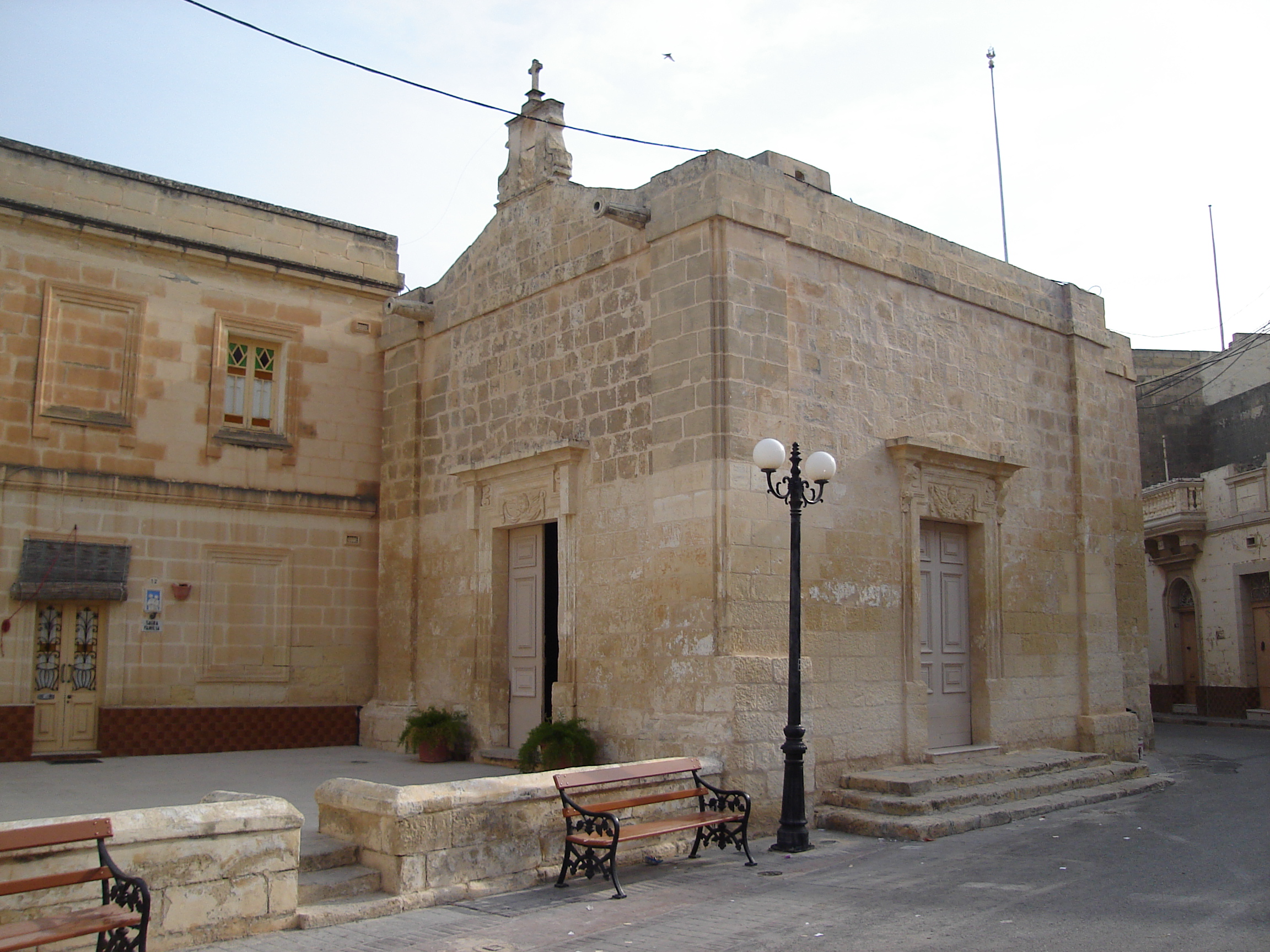
| image_skyline | Kirkop's Saint Leonard's parish church.jpg |
| image_caption | Parish Church of St Leonard |
| image_flag | Flag of Kirkop.svg |
| image_shield | Kirkop coa.svg |
| motto | Parva non iners |
| image_map | Kirkop in Malta.svg |
| coordinates | |
| subdivision_type | Country |
| subdivision_name | Malta |
| subdivision_type1 | Region |
| subdivision_type2 | District |
| subdivision_name1 | Western Region |
| subdivision_name2 | South Eastern District |
| parts_type | Borders |
| parts_style | para |
| p1 | Luqa, Mqabba, Safi, Żurrieq |
| leader_party | PL |
| leader_title | Mayor |
| leader_name | Matthew Agius Zammit |
| unit_pref | Metric |
| area_total_km2 | 1.1 |
| population_total | 2397 |
| population_as_of | Jan. 2019 |
| population_density_km2 | auto |
| population_demonym | Koppi (m), Koppija (f), Koppin (pl) |
| timezone1 | CET |
| utc_offset1 | +1 |
| timezone1_DST | CEST |
| utc_offset1_DST | +2 |
| postal_code_type | Postal code |
| postal_code | KKP |
| area_code | 356 |
| area_code_type | Dialing code |
| iso_code | MT-23 |
| blank_name_sec1 | Patron saint |
| blank_info_sec1 | Saint Leonard |
| blank1_name_sec1 | Day of festa |
| blank1_info_sec1 | 3rd Sunday of September |
Kirkop () is a village in the Western Region of Malta. Located near the Malta International Airport, it has been inhabited since pre-history. The parish church is dedicated to Saint Leonard. The football team of the village is Kirkop United.
Etymology and population
The original name of the village was Casal Prokopju, and is retrieved from the registers of the Maltese militia that existed prior to the rule of the Order of St John. Through generations, the local population corrupted the original name, which was changed to Kirkop. The name of the village comes from the surname of a wealthy family.
History
Punic remains of catacombs are found around the village of Ħal Kirkop with some of them remain unexplored, and their exploration has been shelved. In 1969, anthropologist Jeremy Boissevain published a research on the social fabric of the village in his book Hal Farrug: a village in Malta. Boissevain claims that the people of Ħal Kirkop have lived in the area for centuries because of his assumed comparable bloodline with ancient Phoenician. The Phoenicians occupied the Maltese islands around 700 B.C.

Ħal Kirkop was part of a larger community, as part of the parish of Bir Miftuħ, in the Middle Ages until the Early Modern period. However, on 29 May 1592, it was declared a parish on its own right.
The village had a population of 2,260 people in March 2011. By March 2014 this had decreased slightly to 2,191 people. In 2021, the population was recorded at 2,527.
Places, buildings and structures
In Ħal Kirkop, one finds the Menhir monolith, which has become the symbol of the village, and a number of Paleo-Christian Catacombs.
Other buildings and structures are listed monuments which include; the Church of the Annunciation, the Parish Church of St. Leonard, the Chapel St. Nicholas at the cemetery, a cross column (Is-Salib tad-Dejma), and a number of niches scattered around the village. There are two WWII shelters below street level.
Kirkop main roads
- Triq Ħal Safi (Safi Road)
- Triq il-Belt Valletta (Valletta Road)
- Triq il-Lewżiet (Almonds Street)
- Triq ir-Ramlija (Sandy Street)
- Triq It-Tielet Waqgha (Third Fall Road)
- Triq l-Industrija (Industry Street)
- Triq San Benedittu (St Benedict Street)
- Triq l-Għaraq tad-Demm (Bloody Sweat Street)
- Triq San Ġwann (St John Street)
- Triq San Nikola (St Nicholas Street)
- Triq Santu Rokku (St Rocco Street)
- Triq Taż-Żebbiegħ (Taz-Zebbiegh Road)
Band clubs
- St Leonard's Band Club (L-Għaqda Mużikali San Leonardu)
- St Joseph Band Club (Soċjetà Mużikali San Ġużepp Ħal Kirkop)
Zones in Ħal Kirkop
- Bonu ż-Żgħir
- Il-Għadir (The Lake)
- Menħir Estate (Menhir Estate)
- Tal-Aħfar
- Tal-Ibliq
- Tal-Fieres
- Tar-Robba
- Tas-Sienja
Twin village
- Rousset, France
References
References
- (9 August 2011). "Population statistics". mjha.gov.mt.
- (16 May 2014). "Estimated Population by Locality 31st March, 2014". [[Government of Malta]].
- "Census of population and housing 2021 - Final Report - Population, migration & other social characteristics".
- Sagona, Claudia. (2015). "The Archaeology of Malta". Cambridge University Press.
- (27 September 2013). "Superintendence of Cultural Property". [[National Inventory of the Cultural Property of the Maltese Islands]].
- Farrugia, C.J.. (2004). "Intietef mill-ħajja tal-Koppin marbuta ta' żminijiet ta' gwerra". Festa San Ġuzepp, Kirkop.
- "Site Officiel de la Mairie de Rousset sur Arc".
This article was imported from Wikipedia and is available under the Creative Commons Attribution-ShareAlike 4.0 License. Content has been adapted to SurfDoc format. Original contributors can be found on the article history page.
Ask Mako anything about Kirkop — get instant answers, deeper analysis, and related topics.
Research with MakoFree with your Surf account
Create a free account to save articles, ask Mako questions, and organize your research.
Sign up freeThis content may have been generated or modified by AI. CloudSurf Software LLC is not responsible for the accuracy, completeness, or reliability of AI-generated content. Always verify important information from primary sources.
Report