From Surf Wiki (app.surf) — the open knowledge base
Kingston, New Zealand

| Field | Value |
|---|---|
| name | Kingston |
| settlement_type | Rural settlement |
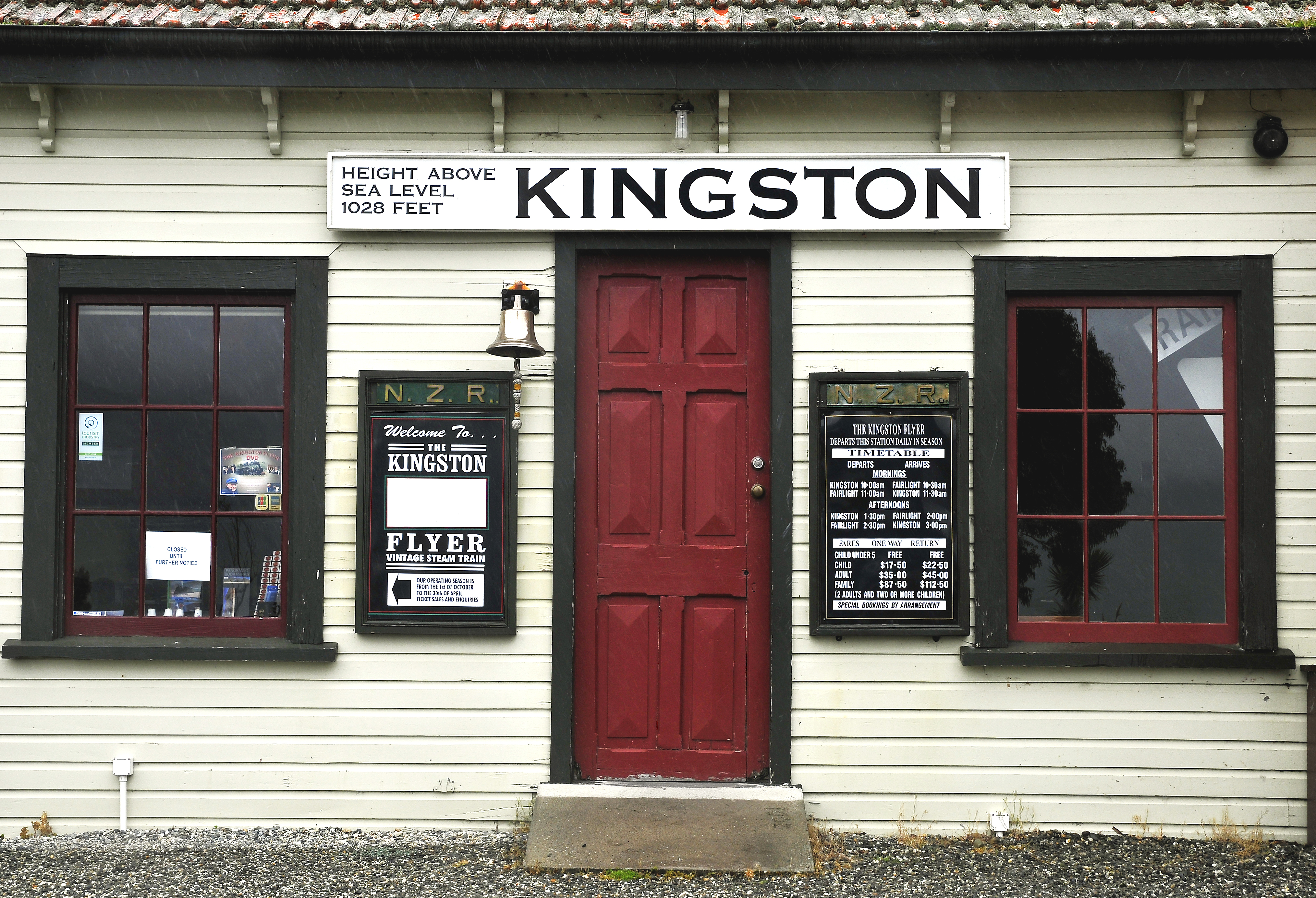
| image_skyline | KingstonNewZealandNov172024 01.jpg |
| image_caption | Kingston |
| mapframe | yes |
| mapframe-zoom | 8 |
| coordinates | |
| subdivision_type | Country |
| subdivision_name | New Zealand |
| subdivision_type1 | Region |
| subdivision_name1 | Otago |
| subdivision_type2 | Territorial authority |
| subdivision_name2 | Queenstown-Lakes District |
| subdivision_type3 | Ward |
| subdivision_name3 | Queenstown-Wakatipu Ward |
| seat_type | Electorates |
| seat | |
| leader_title | Territorial authority |
| leader_name | Queenstown-Lakes District Council |
| leader_title1 | Regional council |
| leader_name1 | Otago Regional Council |
| leader_title2 | Mayor of Queenstown-Lakes |
| leader_name2 | |
| leader_title3 | Southland MP |
| leader_name3 | |
| leader_title4 | Te Tai Tonga MP |
| leader_name4 | |
| population_as_of | |
| population_footnotes | |
| population_total | |
| population_density_km2 | auto |
| area_footnotes | |
| area_total_km2 | 0.60 |
| timezone1 | NZST |
| utc_offset1 | +12 |
| timezone1_DST | NZDT |
| utc_offset1_DST | +13 |
| postal_code_type | Postcode |
| postal_code | 9793 |
| area_code_type | Area code |
| area_code | 03 |
| blank_name | Local iwi |
| blank_info | Ngāi Tahu |
| mapframe-zoom = 8 Kingston is a small town at the southernmost end of Lake Wakatipu, just north of the border of Otago and Southland, in New Zealand's South Island. It is 47 kilometres south of Queenstown by a road, "The Devil's Staircase", which winds between the lake to the west and The Remarkables mountains to the east. It is 70 kilometres north of Lumsden, and close to the headwaters of the Mataura River.
History
Kingston was originally named 'St Johns' after police commissioner St. John Branigan. Following the Otago gold rush in the 1860s, Kingston played an important role in the transport system throughout the district. The busy shipping town hosted ten hotels, two banks and several stores, and it has been reported that there was as many as 5000 people camped in the area at its peak.
Demographics
Kingston is described by Statistics New Zealand as a rural settlement. It covers 0.60 km2 and had an estimated population of as of with a population density of people per km2. It is part of the much larger Kingston statistical area.
Before the 2023 census, Kingston settlement had a larger boundary, covering 2.78 km2. Using that boundary, Kingston had a population of 306 at the 2018 New Zealand census, an increase of 108 people (54.5%) since the 2013 census, and an increase of 159 people (108.2%) since the 2006 census. There were 135 households, comprising 156 males and 150 females, giving a sex ratio of 1.04 males per female. The median age was 37.5 years (compared with 37.4 years nationally), with 51 people (16.7%) aged under 15 years, 45 (14.7%) aged 15 to 29, 186 (60.8%) aged 30 to 64, and 24 (7.8%) aged 65 or older.
Ethnicities were 92.2% European/Pākehā, 5.9% Māori, 2.0% Pasifika, 2.9% Asian, and 2.0% other ethnicities. People may identify with more than one ethnicity.
Although some people chose not to answer the census's question about religious affiliation, 61.8% had no religion, 20.6% were Christian, 1.0% were Hindu, 1.0% were Buddhist and 3.9% had other religions.
Of those at least 15 years old, 66 (25.9%) people had a bachelor's or higher degree, and 33 (12.9%) people had no formal qualifications. The median income was $49,600, compared with $31,800 nationally. 54 people (21.2%) earned over $70,000 compared to 17.2% nationally. The employment status of those at least 15 was that 201 (78.8%) people were employed full-time, 24 (9.4%) were part-time, and 3 (1.2%) were unemployed.
Kingston statistical area
The Kingston statistical area covers 1012.54 km2 and had an estimated population of as of with a population density of people per km2.

The statistical area had a population of 348 at the 2018 New Zealand census, an increase of 111 people (46.8%) since the 2013 census, and an increase of 147 people (73.1%) since the 2006 census. There were 144 households, comprising 180 males and 168 females, giving a sex ratio of 1.07 males per female. The median age was 35.4 years (compared with 37.4 years nationally), with 57 people (16.4%) aged under 15 years, 60 (17.2%) aged 15 to 29, 201 (57.8%) aged 30 to 64, and 27 (7.8%) aged 65 or older.
Ethnicities were 92.2% European/Pākehā, 6.0% Māori, 1.7% Pasifika, 4.3% Asian, and 1.7% other ethnicities. People may identify with more than one ethnicity.
The percentage of people born overseas was 25.9, compared with 27.1% nationally.
Although some people chose not to answer the census's question about religious affiliation, 62.9% had no religion, 20.7% were Christian, 0.9% were Hindu, 0.9% were Buddhist and 4.3% had other religions.
Of those at least 15 years old, 78 (26.8%) people had a bachelor's or higher degree, and 36 (12.4%) people had no formal qualifications. The median income was $49,000, compared with $31,800 nationally. 60 people (20.6%) earned over $70,000 compared to 17.2% nationally. The employment status of those at least 15 was that 228 (78.4%) people were employed full-time, 30 (10.3%) were part-time, and 3 (1.0%) were unemployed.
Transport
The Kingston Flyer historic railway service is closely associated with the town. It operated over a 14 kilometre long preserved section of the former Kingston Branch, which provided a rail link from the city of Invercargill to Kingston for over a century, opening in 1878 and closing in 1979 after a section of track between Garston and Athol was washed out in a storm.
References
References
- Miller, Frederick Walter Gascoyne. (1949). "Golden days of Lake County : the history of Lake County and the boroughs of Queenstown and Arrowtown". Whitcombe & Tombs.
- Fraser, Alister. (2000). "The Kingston Story 1800-2000". The Kingston Community Centre.
- "ArcGIS Web Application".
- {{NZ census 2018. 7028121
- {{NZ census 2018. Kingston (347300). kingston. Kingston
This article was imported from Wikipedia and is available under the Creative Commons Attribution-ShareAlike 4.0 License. Content has been adapted to SurfDoc format. Original contributors can be found on the article history page.
Ask Mako anything about Kingston, New Zealand — get instant answers, deeper analysis, and related topics.
Research with MakoFree with your Surf account
Create a free account to save articles, ask Mako questions, and organize your research.
Sign up freeThis content may have been generated or modified by AI. CloudSurf Software LLC is not responsible for the accuracy, completeness, or reliability of AI-generated content. Always verify important information from primary sources.
Report