From Surf Wiki (app.surf) — the open knowledge base
King's Road, Hong Kong
Road in Eastern District, Hong Kong

Road in Eastern District, Hong Kong
| Field | Value |
|---|---|
| name | King's Road |
| image | HK King s Road 147.jpg |
| caption | Fortress Hill section of King's Road |
| native_name | yue |
| former_names | Shaukiwan Road |
| namesake | King George V |
| length | 4.2 km |
| direction_a | East |
| terminus_a | Causeway Road / Hing Fat Road |
| direction_b | West |
| terminus_b | Shau Kei Wan Road / Tai Koo Shing Road |
| location | Eastern District, Hong Kong |
| mapframe-wikidata | yes |
| mapframe-wikidata = yes
.jpg)


King's Road (Chinese: 英皇道) is a major east–west road along the north of Hong Kong Island, Hong Kong, stretching from Causeway Bay (Tin Hau), where it joins Causeway Road, to Sai Wan Ho, where it joins Shau Kei Wan Road.
History
Originally part of Shaukiwan Road, it was renamed in 1935 in honour of the Silver Jubilee of King George V's reign.
Features
From west to east.
In Tin Hau:
- No. 1: Park Towers In North Point:
- No. 238-240: Fortress Towers and C&MA North Point Church
- No. 277-291: Former State Theatre
- No. 423: Sunbeam Theatre
- Note that The boundary between North Point and Quarry Bay is at Man Hong Street / Healthy Street West In Quarry Bay:
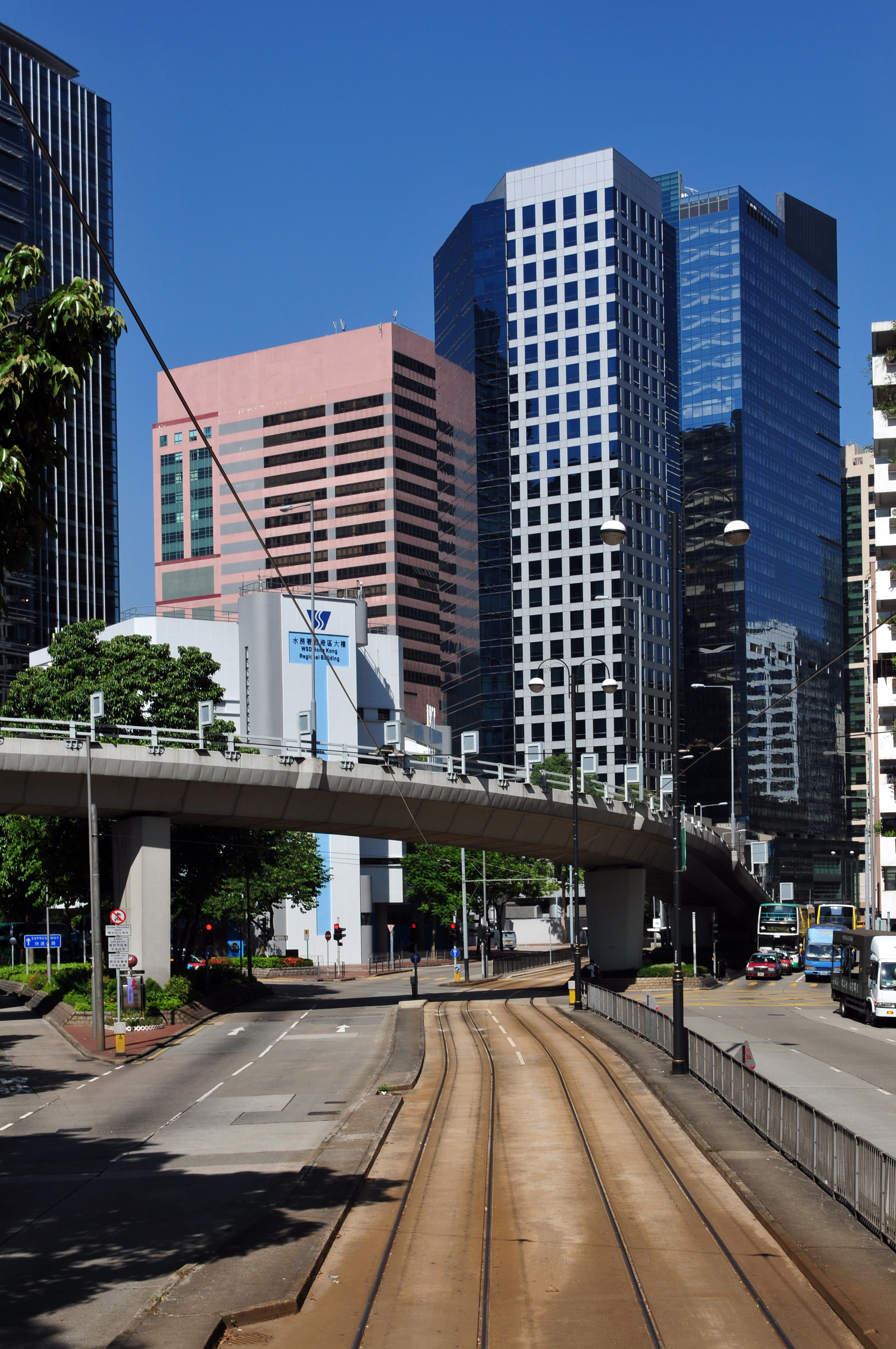
- No. 611: WSD Hong Kong Regional Building
- No. 668-702: Healthy Village
- No. 740-774: Model Housing Estate
- No. 888: North Point Government Primary School
- No.979-981: Taikoo Place
- No. 986: The Former Quarry Bay School is a Grade III historic building. Currently vacant, it was built in 1924–1926.
- No. 1032-1044: Fook Cheong Building ()
- No. 1048-1056: Yick Fat Building (). Housing the Hong Kong Aquarium Plaza.
- No. 1111: Cityplaza ()
Traffic
The road is shared between automobile traffic and the Hong Kong Tramways system, and the east bound of the section between eastern Causeway Bay and Quarry Bay bus lane. This tram line runs between Shau Kei Wan to Kennedy Town. Before the opening of Island Eastern Corridor and Island line of the MTR in the 1980s, the road was plagued with traffic congestion. Various measures like creation of bus lanes were taken to address the problem.
Part of the MTR Island line runs underneath the road, and the following stations serve the road: Tin Hau (exit A1), Fortress Hill (exits A and B), North Point (exits B1/B2/B3), Quarry Bay (exit A), Tai Koo.
Intersecting streets
*Roads are listed west to east. *
- Causeway Road, Tung Lo Wan Road and Tin Hau Temple Road - Tin Hau Station is located here.
- Ngan Mok Street and Lau Sin Street
- Lau Li Street
- Tsing Fung Street
- Wing Hing Street
- Mercury Street
- Jupiter Street
- Shell Street
- Comfort Terrace
- Oil Street - Fortress Hill Station is located here.
- Boat Street
- Fortress Hill Road and Power Street
- Tin Chong Street
- Cheung Hong Street and Hei Wo Street
- North Point Road, Hong Kong and North View Street
- Ming Yuen Western Street
- Tong Shui Road
- Kam Ping Street
- Shu Kuk Street - North Point Station is located here.
- Kam Hong Street
- Tin Chiu Street
- Healthy Street West and Man Hong Street
- Healthy Street Central
- Healthy Street East
- Model Lane
- Java Road
- Mansion Street
- Finnie Street
- Tong Chong Street - Quarry Bay Station is located here.
- Pan Hoi Street
- Mount Parker Road and Quarry Bay Street
- Westlands Road
- Yau Man Street
- Greig Road and Shipyard Lane
- Kornhill Road and Hong On Street - Tai Koo Station is located here.
- Tai Koo Shing Road and Shau Kei Wan Road
References
References
- (2009). "Signs of a Colonial Era". [[Hong Kong University Press]].
- [http://www.cityline.com/eng/sunbeam/byCinemaStep2.jsp?venueKey=12 Ticketing through Cityline]
- [http://www.lcsd.gov.hk/ce/Museum/Monument/form/AAB-SM-chi.pdf List of the Historic Buildings in Building Assessment (as of 21 September 2012)] {{webarchive. link. (15 December 2011)
- [http://www.lcsd.gov.hk/ce/Museum/Monument/form/Brief_Information_on_proposed_Grade_III_Items.pdf Brief Information on proposed Grade III Items. Item #829] {{webarchive. link. (2013-09-22)
This article was imported from Wikipedia and is available under the Creative Commons Attribution-ShareAlike 4.0 License. Content has been adapted to SurfDoc format. Original contributors can be found on the article history page.
Ask Mako anything about King's Road, Hong Kong — get instant answers, deeper analysis, and related topics.
Research with MakoFree with your Surf account
Create a free account to save articles, ask Mako questions, and organize your research.
Sign up freeThis content may have been generated or modified by AI. CloudSurf Software LLC is not responsible for the accuracy, completeness, or reliability of AI-generated content. Always verify important information from primary sources.
Report