From Surf Wiki (app.surf) — the open knowledge base
Key Largo
Island in the upper Florida Keys archipelago

Island in the upper Florida Keys archipelago
| Field | Value |
|---|---|
| name | Key Largo |
| sobriquet | |
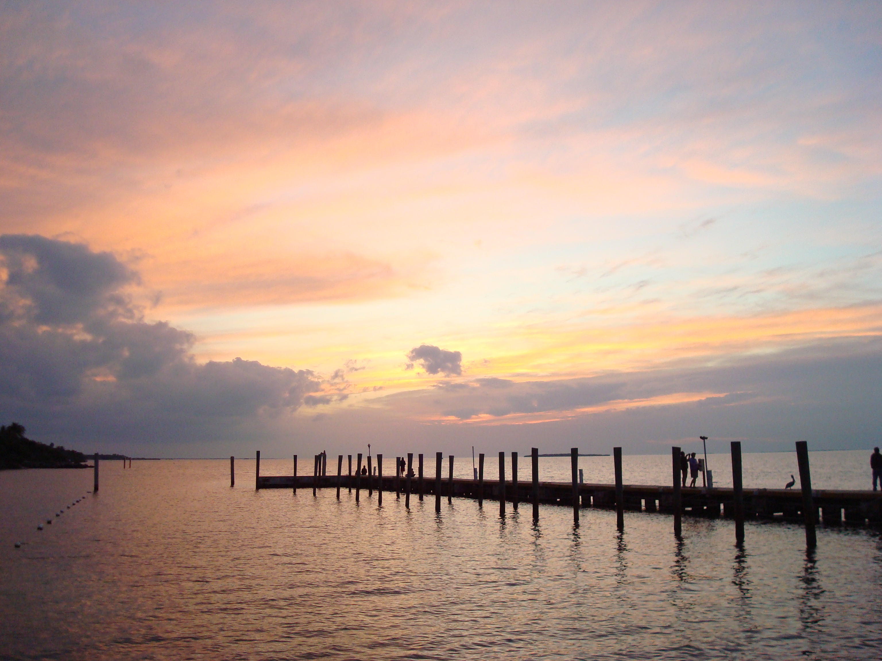
| image_name | Key Largo, FL 33037, USA - panoramio (3).jpg |
| image_caption | Key Largo |
| pushpin_map | Florida#Caribbean |
| pushpin_label_position | left |
| pushpin_relief | 1 |
| pushpin_map_caption | Key Largo |
| coordinates | |
| location | Gulf of Mexico |
| grid_reference | |
| archipelago | Florida Keys |
| waterbody | Florida Straits |
| country | |
| country_admin_divisions_title | State |
| country_admin_divisions | Florida |
| country_admin_divisions_title_1 | County |
| country_admin_divisions_1 | Monroe |
the island
Key Largo () is an island in the lower Florida Keys archipelago and is the largest section of the keys, at 33 mi long. It is one of the northernmost of the Florida Keys in Monroe County, and the northernmost of the keys connected by U.S. Highway 1 (the Overseas Highway). Three census-designated places (CDPs) are on the island of Key Largo: North Key Largo (near the Card Sound Bridge), Key Largo (roughly 8-9 mi from the island's southernmost point) and Tavernier (at the island's south end). As of 2020, these three CDPs have a combined population of 16,408. None of Key Largo is an incorporated municipality; it is governed, at the local level, by Monroe County.
Key Largo is connected to the mainland of Miami-Dade County by two routes, the first being the Overseas Highway—the southernmost portion of U.S. Highway 1—which enters Key Largo at Jewfish Creek (near the middle of the island) before turning southwest. The second route is via Card Sound Road, which connects to the northern end of Key Largo and runs southeastward, connecting with County Road 905, which runs southwest and joins U.S. 1 at about mile marker 106. These routes originate at Florida City on the mainland.
Key Largo is a popular destination for many. It has been dubbed the "Diving Capital of the World" as the living coral reefs, a few miles offshore, attract thousands of scuba divers, sport-fishing enthusiasts and scientific researchers each year.
Key Largo's proximity to the Everglades also makes it an ideal starting point for scientists, kayakers and ecotourists, among others. Automotive and highway pioneer (and Miami Beach developer) Carl G. Fisher built the Caribbean Club in 1938 as his last project.
Key Largo is situated between Everglades National Park to the northwest and John Pennekamp Coral Reef State Park, the first underwater park in the United States, to the east. The latter state park protects part of the Florida Reef, the only living coral barrier reef in the continental United States. Barrier reefs are critical to coastal communities and environments as they are able to dissipate up to 97% of the oceanic wave forces exerted during hurricanes and other tropical storms, with the reef serving as a protective buffer against flooding further inland. The barrier reef itself provides over $675 million in storm surge protection annually.
History
When Europeans first arrived in the Florida Keys in the 16th century, the area was uninhabited or only sparsely inhabited by indigenous peoples such as the Calusa and the Tequesta. The earliest description of the area and its inhabitants was by Hernando de Escalante Fontaneda, a survivor of a shipwreck who lived among the Calusa people from 1549 to 1566. The earliest reference to Key Largo is found on a map prepared in 1639 by Dutch cartographer Johannes Vingboons, in which it is named Caio des 12 Leguas (islet of twelve leagues). Some time later, it was named Cayo Largo — meaning long islet — by Spanish explorers.
In 1770, Dutch surveyor Bernard Romans reported that the area was uninhabited, although evidence was found that indigenous people visited the area from time to time. By the end of the Third Seminole War in 1858, the area was under control by the United States government, though it remained largely uninhabited. In 1870, a post office was established at "Cayo Largo" (in the current Rock Harbor area). It closed and another was opened called "Largo" in 1881. Additional post offices opened in Planter in 1891 and Aiken in 1895.
The island gained fame as the setting for the 1948 film Key Largo, but apart from background filming used for establishing shots, the film was shot on a Warner Bros. sound stage in Hollywood. After the film's success, pressure from local businesses resulted in a change in the name of the post office serving the northern part of the island, from "Rock Harbor" to "Key Largo", on June 1, 1952. After that, every resident north of Tavernier had a Key Largo address and the postmark read "Key Largo".
Geology and geography
The island of Key Largo is an exposed, fossilized remnant of a coral reef formed during a period of higher sea level and then uncovered and eroded during a subsequent ice age. The highest elevation is a slight ridge forming the spine of the island, which rises to about 15 ft.
The island's substrate is called Key Largo Limestone; in many places, fossilized corals are visible at the surface. Solution holes, which are pockets dissolved in the limestone by acidic rainwater, form shallow depressions in the land. The natural shoreline of the island is generally rocky. A slippery, gray, limestone-based clay called "marl" is the shoreline and near-shore soil. No natural sand beaches occur on the island. Inland, decomposed vegetation forms a rich, acidic humus soil up to about 6 in (15 cm) thick, topped by "leaf litter". The soil supports a diverse flora of herbaceous plants, woody shrubs, and hardwood trees.
Climate
Key Largo has a tropical savanna climate (Aw). Frost has never been recorded on the island. Key Largo enjoys close to 3,000 hours of sunshine annually.
| {{climate chart | Key Largo | 19 | 20 | 34 | 18 | 19 | 78 | 22 | 24 | 48 | 24 | 26 | 149 | 24 | 27 | 274 | 25 | 28 | 282 | 26 | 28 | 302 | 28 | 28 | 213 | 25 | 28 | 211 | 24 | 25 | 111 | 23 | 24 | 95 | 21 | 23 | 43 | float=left | clear=left | url= http://neo.sci.gsfc.nasa.gov/dataset_index.php | title= NASA Earth Observations Data Set Index | access-date= 30 January 2016 | publisher= NASA | archive-date= 11 May 2020 | archive-url= https://web.archive.org/web/20200511075542/https://neo.sci.gsfc.nasa.gov/dataset_index.php | url-status= dead}} |
|---|
References
References
- (1997-07-01). "All About Diving in the Florida Keys, Florida Keys Scuba Diving". Flkeys-diving.com.
- "Coastal Protection - Florida's Coral Reef".
- Peter Ferdinando. (2010). "A Translation History of Fontaneda". Florida Historical Society.
- "Map of the complete island of Cuba".
- (3 September 2006). "Key Largo".
- "Archived copy".
- Wilkinson, Jerry. "History of Key Largo". Historical Preservation Society of the Upper Keys.
- "Key Largo Filming Locations". IMDb.com.
- "The Florida Keys: Key Largo". Goflorida.about.com.
- "Key Largo". Moviediva.com.
- Jerry Wilkinson. "keylargopage2". Keyshistory.org.
- "Key Largo Limestone".
- "NASA Earth Observations Data Set Index". NASA.
This article was imported from Wikipedia and is available under the Creative Commons Attribution-ShareAlike 4.0 License. Content has been adapted to SurfDoc format. Original contributors can be found on the article history page.
Ask Mako anything about Key Largo — get instant answers, deeper analysis, and related topics.
Research with MakoFree with your Surf account
Create a free account to save articles, ask Mako questions, and organize your research.
Sign up freeThis content may have been generated or modified by AI. CloudSurf Software LLC is not responsible for the accuracy, completeness, or reliability of AI-generated content. Always verify important information from primary sources.
Report