From Surf Wiki (app.surf) — the open knowledge base
Juneau County, Wisconsin
County in Wisconsin, United States

County in Wisconsin, United States
| Field | Value |
|---|---|
| county | Juneau County |
| state | Wisconsin |
| founded year | 1857 |
| seat wl | Mauston |
| largest city wl | Mauston |
| area_total_sq_mi | 804 |
| area_land_sq_mi | 767 |
| area_water_sq_mi | 37 |
| area percentage | 4.6% |
| population_as_of | 2020 |
| population_total | 26718 |
| population_density_sq_mi | 34.8 |
| population_footnotes | |
| pop_est_as_of | 2024 |
| population_est | 26590 |
| time zone | Central |
| web | www.co.juneau.wi.gov |
| named for | Solomon Juneau |
| ex image | JuneauCountyCourthouse.JPG |
| ex image cap | Juneau County Courthouse |
| district | 3rd |
| district2 | 7th |
| coordinates |
Juneau County is a county located in the U.S. state of Wisconsin. As of the 2020 census, the population was 26,718. Its county seat is Mauston.
History
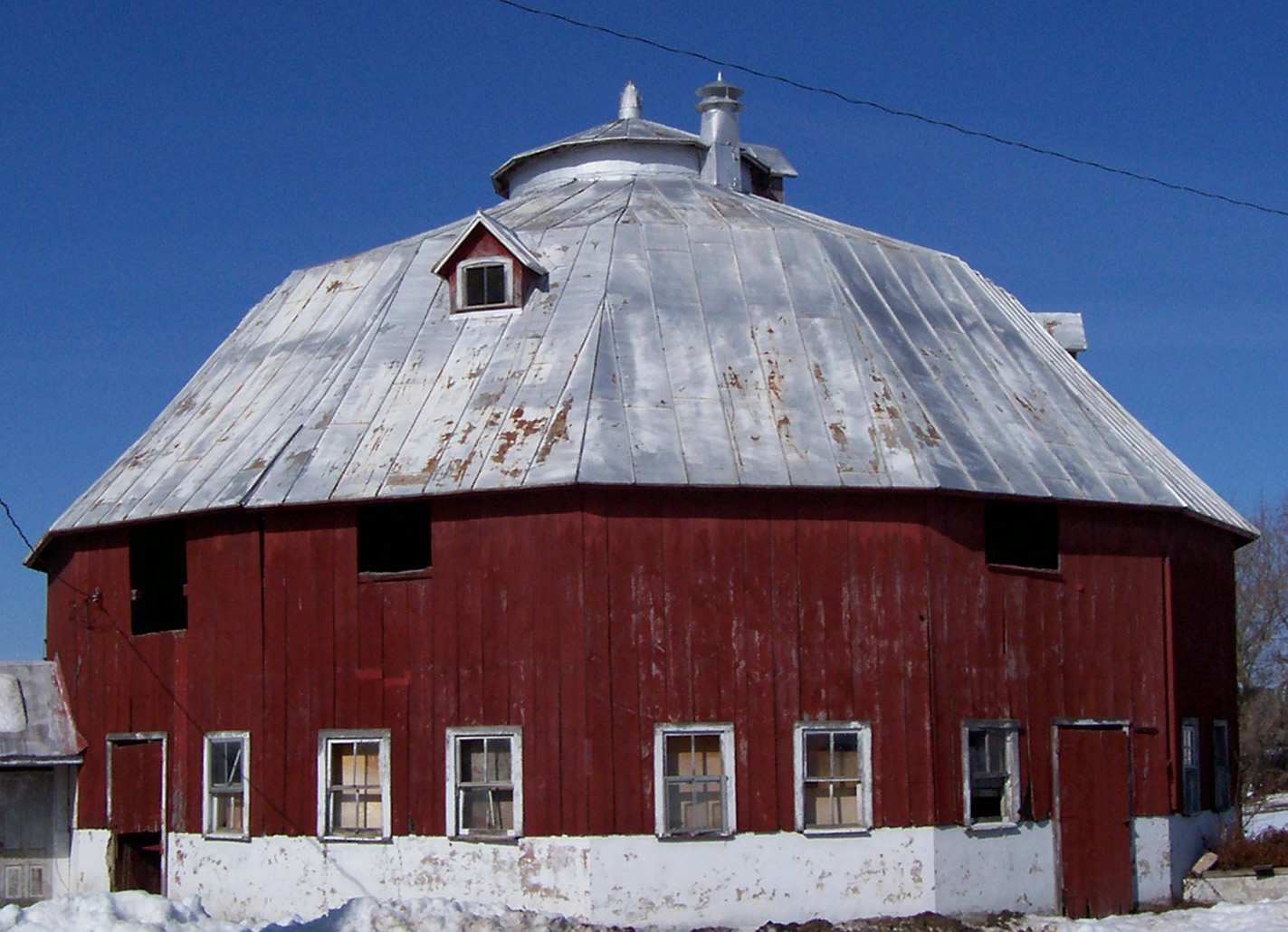
Before white settlement, before loggers and explorers, the area that is now Juneau County was the home of Native Americans who left behind artifacts like the thunderbirds etched on the wall at Twin Bluffs and the Gee's Slough mounds outside New Lisbon.
Juneau County was established in 1857 when the Wisconsin Legislature passed legislation separating lands west of the Wisconsin River from what was then Adams County. After a contest with neighboring New Lisbon, the county seat was established in Maugh's Town, which is known today as Mauston. The county was named after Solomon Juneau, a founder of Milwaukee.
In the 1970s, county officials had indicated their interest, and submitted a request to Wisconsin Power and Light Company, to build a nuclear power plant on Petenwell Lake.
Geography
According to the U.S. Census Bureau, the county has a total area of 804 sqmi, of which 767 sqmi is land and 37 sqmi (4.6%) is water.
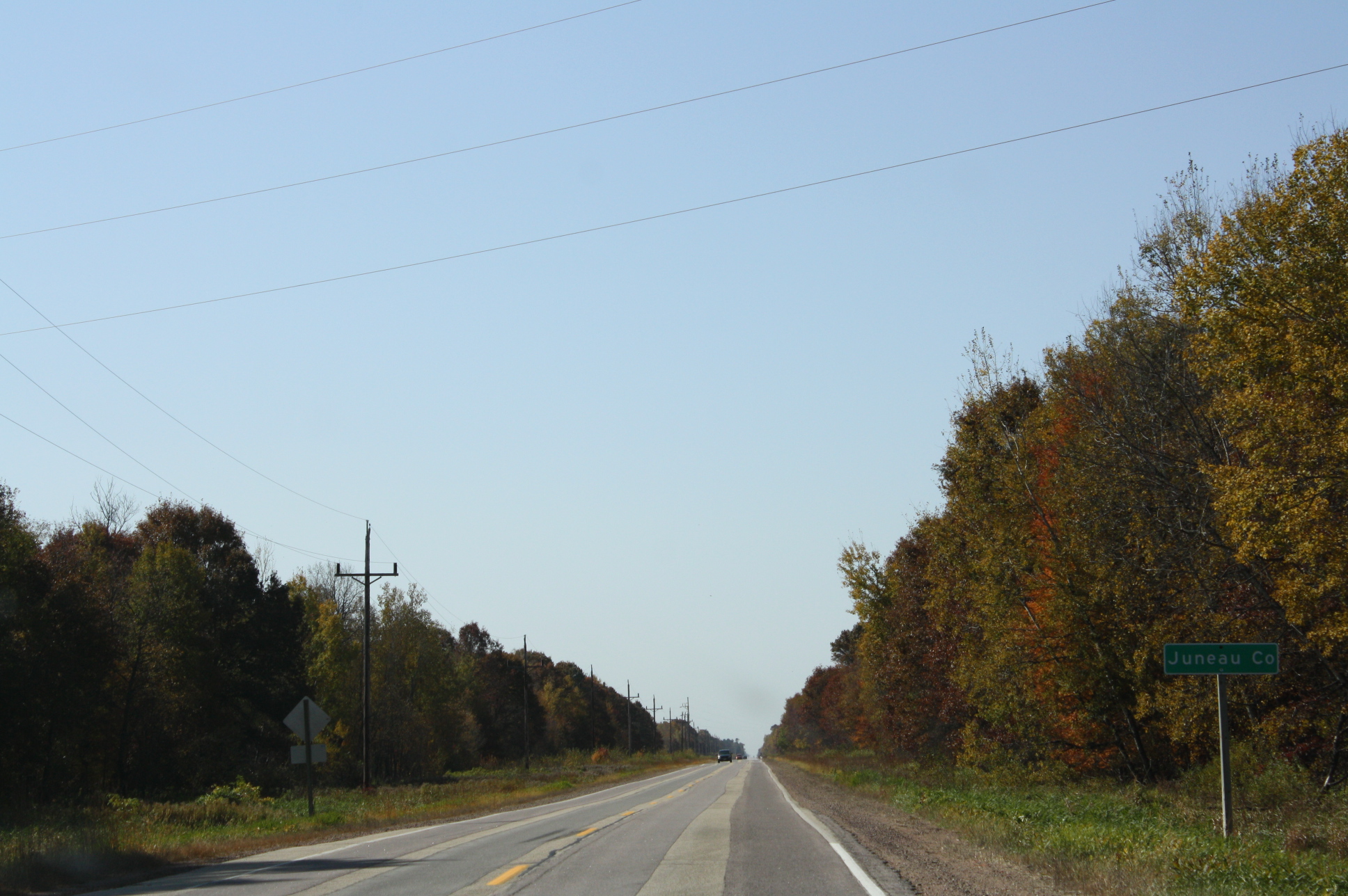
Major highways
- [[Image:I-90.svg|20px]] Interstate 90
- [[Image:I-94.svg|20px]] Interstate 94
- [[Image:US 12.svg|20px]] U.S. Highway 12
- [[Image:WIS 16.svg|20px]] Highway 16 (Wisconsin)
- [[Image:WIS 21.svg|20px]] Highway 21 (Wisconsin)
- [[Image:WIS 33.svg|20px]] Highway 33 (Wisconsin)
- [[Image:WIS 58.svg|20px]] Highway 58 (Wisconsin)
- [[Image:WIS 71.svg|20px]] Highway 71 (Wisconsin)
- [[Image:WIS 80.svg|20px]] Highway 80 (Wisconsin)
- [[Image:WIS 82.svg|20px]] Highway 82 (Wisconsin)
- [[Image:WIS 173.svg|20px]] Highway 173 (Wisconsin)
Railroads
- Amtrak
- Canadian National
- Canadian Pacific
- Union Pacific
Buses
Airports
- Necedah Airport (KDAF), serves the county and surrounding communities.
- Mauston–New Lisbon Union Airport (82C) enhances county service.
Adjacent counties
- Wood County - north
- Adams County - east
- Columbia County - southeast
- Sauk County - south
- Vernon County - southwest
- Monroe County - west
- Jackson County - northwest
National protected area
- Necedah National Wildlife Refuge
United States Military Posts
- Volk Field Air National Guard Base Fort McCoy outside of Juneau county
Demographics
|align-fn=center 1790–1960 1900–1990 1990–2000 2010 2020
2020 census
As of the 2020 census, the county had a population of 26,718, a median age of 46.0 years, 20.0% of residents were under the age of 18, and 21.2% of residents were 65 years of age or older. For every 100 females there were 113.7 males, and for every 100 females age 18 and over there were 115.6 males age 18 and over.
The population density was 34.8 /mi2. There were 14,441 housing units at an average density of 18.8 /mi2.
There were 10,741 households in the county, of which 25.1% had children under the age of 18 living in them. Of all households, 47.6% were married-couple households, 20.9% were households with a male householder and no spouse or partner present, and 22.5% were households with a female householder and no spouse or partner present. About 29.8% of all households were made up of individuals and 13.9% had someone living alone who was 65 years of age or older.
Of the housing units, 25.6% were vacant. Among occupied housing units, 75.5% were owner-occupied and 24.5% were renter-occupied. The homeowner vacancy rate was 1.7% and the rental vacancy rate was 8.0%.
The racial makeup of the county was 90.9% White, 2.1% Black or African American, 1.4% American Indian and Alaska Native, 0.6% Asian,
2000 census
As of the census of 2000, there were 24,316 people, 9,696 households, and 6,699 families residing in the county. The population density was 32 /mi2. There were 12,370 housing units at an average density of 16 /mi2. The racial makeup of the county was 96.61% White, 0.33% Black or African American, 1.30% Native American, 0.44% Asian, 0.02% Pacific Islander, 0.57% from other races, and 0.74% from two or more races. 1.43% of the population were Hispanic or Latino of any race. 41.2% were of German, 9.9% Irish, 8.8% Norwegian, 6.5% Polish and 5.8% English ancestry.
There were 9,696 households, out of which 30.4% had children under the age of 18 living with them, 55.5% were married couples living together, 8.8% had a female householder with no husband present, and 30.9% were non-families. 26.0% of all households were made up of individuals, and 12.30% had someone living alone who was 65 years of age or older. The average household size was 2.47 and the average family size was 2.96.
In the county, the population was spread out, with 25.4% under the age of 18, 6.9% from 18 to 24, 26.6% from 25 to 44, 24.3% from 45 to 64, and 16.8% who were 65 years of age or older. The median age was 39 years. For every 100 females there were 100.1 males. For every 100 females age 18 and over, there were 97.4 males.
In 2017, there were 282 births, giving a general fertility rate of 72.7 births per 1000 women aged 15–44, the 12th highest rate out of all 72 Wisconsin counties. Of these, only 2 of the births occurred at home. Additionally, there were 16 reported induced abortions performed on women of Juneau County residence in 2017, a figure higher than the records for the preceding four years.
Communities
Cities
- Elroy
- Mauston (county seat)
- New Lisbon
- Wisconsin Dells (mostly in Columbia County, Adams County, and Sauk County)
Villages
- Camp Douglas
- Hustler
- Lyndon Station
- Necedah
- Union Center
- Wonewoc
Towns
- Armenia
- Clearfield
- Cutler
- Finley
- Fountain
- Germantown
- Kildare
- Kingston
- Lemonweir
- Lindina
- Lisbon
- Lyndon
- Marion
- Necedah
- Orange
- Plymouth
- Seven Mile Creek
- Summit
- Wonewoc
Unincorporated communities
- Cloverdale
- Cutler
- Finley
- Indian Heights
- Kelly
- Lemonweir
- Lindina
- Lone Rock
- Mather
- Meadow Valley
- New Miner
- Orange Mill
- Sprague
Politics
Juneau County was long considered a bellwether in presidential elections. From 1964 through 2016, the winning candidate has carried the county in every presidential election; however, this trend ended in 2020.
References
References
- "Find a County". National Association of Counties.
- "Twin Bluff". Mississippi Valley Archaeology Center.
- (2000). "Indian Mounds of Wisconsin". University of Wisconsin Press.
- [http://docs.legis.wisconsin.gov/1856/related/acts/130.pdf Wisconsin Acts. 1856. Ch. 130] Approved October 13, 1856. Went into effect January 1, 1857.
- [http://www.co.juneau.wi.gov/ Juneau County - Home] Retrieved February 25, 2015.
- (1908). "A History of the Origin of the Place Names Connected with the Chicago & North Western and Chicago, St. Paul, Minneapolis & Omaha Railways".
- Jaeger, Richard W.. (February 15, 1973). "Juneau Officials Seek A-Plant". The Wisconsin State Journal.
- (August 22, 2012). "2010 Census Gazetteer Files". United States Census Bureau.
- "Population and Housing Unit Estimates Tables". United States Census Bureau.
- "U.S. Decennial Census". United States Census Bureau.
- "Historical Census Browser". University of Virginia Library.
- (March 27, 1995). "Population of Counties by Decennial Census: 1900 to 1990". United States Census Bureau.
- (April 2, 2001). "Census 2000 PHC-T-4. Ranking Tables for Counties: 1990 and 2000". United States Census Bureau.
- "State & County QuickFacts". United States Census Bureau.
- "2020 Decennial Census: Juneau County, Wisconsin". U.S. Census Bureau.
- (2021). "2020 Decennial Census Demographic Profile (DP1)".
- (2021). "2020 Decennial Census Redistricting Data (Public Law 94-171)".
- (2023). "2020 Decennial Census Demographic and Housing Characteristics (DHC)".
- "U.S. Census website". [[United States Census Bureau]].
- "Annual Wisconsin Birth and Infant Mortality Report, 2017 P-01161-19 (June 2019): Detailed Tables".
- [https://www.dhs.wisconsin.gov/publications/p45360-17.pdf Reported Induced Abortions in Wisconsin], Office of Health Informatics, Division of Public Health, Wisconsin Department of Health Services. Section: Trend Information, 2013-2017, Table 18, pages 17-18
- Leip, David. "Dave Leip's Atlas of U.S. Presidential Elections".
This article was imported from Wikipedia and is available under the Creative Commons Attribution-ShareAlike 4.0 License. Content has been adapted to SurfDoc format. Original contributors can be found on the article history page.
Ask Mako anything about Juneau County, Wisconsin — get instant answers, deeper analysis, and related topics.
Research with MakoFree with your Surf account
Create a free account to save articles, ask Mako questions, and organize your research.
Sign up freeThis content may have been generated or modified by AI. CloudSurf Software LLC is not responsible for the accuracy, completeness, or reliability of AI-generated content. Always verify important information from primary sources.
Report