From Surf Wiki (app.surf) — the open knowledge base
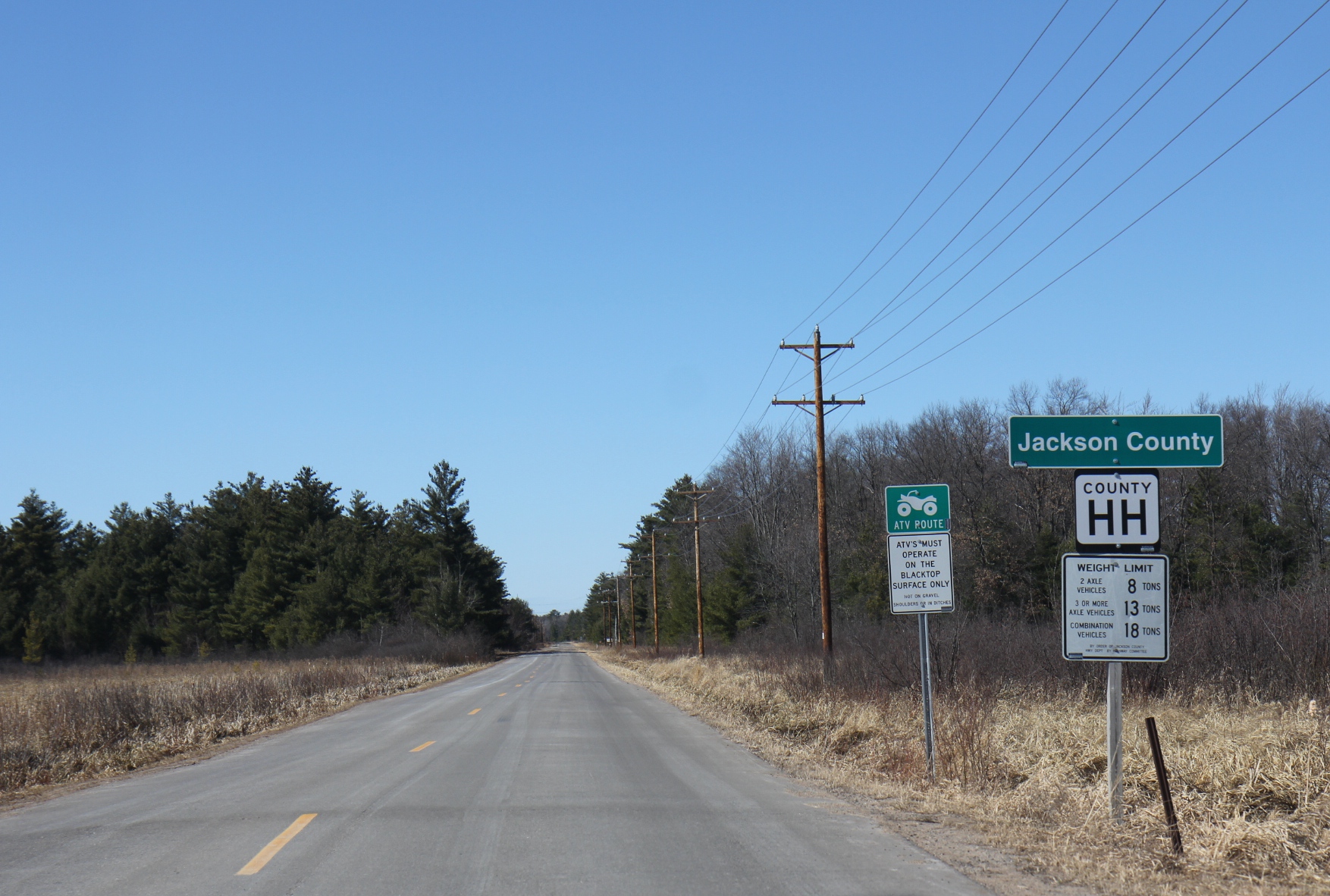
Jackson County, Wisconsin
County in Wisconsin, United States

County in Wisconsin, United States
| Field | Value |
|---|---|
| county | Jackson County |
| state | Wisconsin |
| founded year | 1853 |
| seat wl | Black River Falls |
| largest city wl | Black River Falls |
| area_total_sq_mi | 1000 |
| area_land_sq_mi | 988 |
| area_water_sq_mi | 13 |
| area percentage | 1.3% |
| population_as_of | 2020 |
| population_total | 21145 |
| population_footnotes | |
| pop_est_as_of | 2024 |
| population_est | 21027 |
| pop_est_footnotes | |
| population_density_sq_mi | 21.3 |
| time zone | Central |
| web | www.co.jackson.wi.us |
| named for | Andrew Jackson |
| ex image | Jackson County Wisconsin Courthouse March 2012.jpg |
| ex image cap | Jackson County Courthouse |
| district | 3rd |
| district2 | 7th |
Jackson County is a county located in the U.S. state of Wisconsin. As of the 2020 census, the population was 21,145. Its county seat is Black River Falls. Jackson County was formed from Crawford County in 1853. It was named for President Andrew Jackson.
Geography
According to the U.S. Census Bureau, the county has a total area of 1000 sqmi, of which 988 sqmi is land and 13 sqmi (1.3%) is water.
Adjacent counties
- Clark County - north
- Wood County - east
- Juneau County - southeast
- Monroe County - south
- La Crosse County - southwest
- Trempealeau County - west
- Eau Claire County - northwest
Major highways
- [[Image:I-94.svg|20px]] Interstate 94
- [[Image:US 10.svg|20px]] U.S. Highway 10
- [[Image:US 12.svg|20px]] U.S. Highway 12
- [[Image:WIS 27.svg|20px]] Highway 27 (Wisconsin)
- [[Image:WIS 54.svg|20px]] Highway 54 (Wisconsin)
- [[Image:WIS 71.svg|20px]] Highway 71 (Wisconsin)
- [[Image:WIS 95.svg|20px]] Highway 95 (Wisconsin)
- [[Image:WIS 108.svg|20px]] Highway 108 (Wisconsin)
- [[Image:WIS 121.svg|20px]] Highway 121 (Wisconsin)
Railroads
- Canadian National
- Union Pacific
Buses
- Black River Falls Public Transit
Demographics
|align-fn=center 1790–1960 1900–1990 1990–2000 2010 2020 2024
2020 census
As of the 2020 census, the county had a population of 21,145. The population density was 21.4 /mi2. The median age was 42.5 years, 22.4% of residents were under the age of 18, and 19.7% of residents were 65 years of age or older. For every 100 females there were 113.0 males, and for every 100 females age 18 and over there were 115.8 males age 18 and over.
There were 8,136 households in the county, of which 26.9% had children under the age of 18 living in them. Of all households, 49.0% were married-couple households, 20.5% were households with a male householder and no spouse or partner present, and 21.6% were households with a female householder and no spouse or partner present. About 28.9% of all households were made up of individuals, and 13.0% had someone living alone who was 65 years of age or older.
There were 9,613 housing units at an average density of 9.7 /mi2, of which 15.4% were vacant. Among occupied housing units, 75.0% were owner-occupied and 25.0% were renter-occupied. The homeowner vacancy rate was 1.5% and the rental vacancy rate was 6.9%.
The racial makeup of the county was 85.8% White, 2.1% Black or African American, 6.5% American Indian and Alaska Native, 0.4% Asian,
20.9% of residents lived in urban areas, while 79.1% lived in rural areas.
2000 census
As of the census of 2000, there were 19,100 people, 7,070 households, and 4,835 families residing in the county. The population density was 19 /mi2. There were 8,029 housing units at an average density of 8 /mi2. The racial makeup of the county was 89.58% White, 2.27% Black or African American, 6.16% Native American, 0.16% Asian, 0.04% Pacific Islander, 1.01% from other races, and 0.79% from two or more races. 1.87% of the population were Hispanic or Latino of any race. 31.4% were of German, 30.2% Norwegian and 5.2% Irish ancestry. 94.7% spoke English, 2.2% Spanish and 1.5% Winnebago as their first language.
There were 7,070 households, out of which 31.00% had children under the age of 18 living with them, 55.40% were married couples living together, 8.60% had a female householder with no husband present, and 31.60% were non-families. 26.20% of all households were made up of individuals, and 11.80% had someone living alone who was 65 years of age or older. The average household size was 2.49 and the average family size was 3.00.
In the county, the population was spread out, with 24.10% under the age of 18, 8.80% from 18 to 24, 29.40% from 25 to 44, 22.80% from 45 to 64, and 14.90% who were 65 years of age or older. The median age was 38 years. For every 100 females there were 114.60 males. For every 100 females age 18 and over, there were 116.30 males.
In 2017, there were 227 births, giving a general fertility rate of 74.0 births per 1000 women aged 15–44, the 10th highest rate out of all 72 Wisconsin counties. Of these, 14 of the births occurred at home. Additionally, there were 7 reported induced abortions performed on women of Jackson County residence in 2017.
Communities

City
- Black River Falls (county seat)
Villages
- Alma Center
- Hixton
- Melrose
- Merrillan
- Taylor
Towns
- Adams
- Albion
- Alma
- Bear Bluff
- Brockway
- City Point
- Cleveland
- Curran
- Franklin
- Garden Valley
- Garfield
- Hixton
- Irving
- Knapp
- Komensky
- Manchester
- Melrose
- Millston
- North Bend
- Northfield
- Springfield
Census-designated places
- Hatfield
- Millston
- Mission
- Sand Pillow
Other unincorporated communities
- Brockway
- Buckholz Corners
- City Point
- Disco
- Fall Hall Glen
- Franklin
- Irving
- Levis
- North Bend
- North Branch
- Northfield
- Pray
- Price
- Requa
- Sechlerville
- Shamrock
- Spaulding
- Speck Oaks
- Vaudreuil
- Waterbury
- Winnebago Mission
- York
Ghost towns/neighborhoods
- Charter Oak Mills
- Clay
- Rogneys
- Wrightsville
Politics
Between 1928 and 1984, Jackson County voted for the nationwide winner in every election with the exception of 1944 (by less than 3%) and 1960 (one of the closest elections in American history). Then, from 1988 to 2012, like most of the rural counties in southwestern Wisconsin, it backed the Democratic candidate in each election, and did so by more than an 8% margin each time beginning in 1992. In 2016, once again like the rest of rural southwestern Wisconsin, Jackson County dramatically swung to the right, shifting from a 15% victory for Democrat Barack Obama in 2012 to a 12% victory for Republican Donald Trump in 2016. Trump further expanded his margin of victory to over 15% in 2020 and to nearly 20% in 2024, achieving the highest vote share for a Republican in the county since Richard Nixon in his 1972 landslide reelection.
Economy
The county's largest employer is the Ho-Chunk Nation, which employs roughly 3100 people combined in Jackson and Sauk counties.
References
References
- "Jackson County, Wisconsin".
- "Find a County". National Association of Counties.
- Gannett, Henry. (1905). "The Origin of Certain Place Names in the United States". Govt. Print. Off..
- (August 22, 2012). "2010 Census Gazetteer Files". United States Census Bureau.
- "Decennial Census of Population and Housing". United States Census Bureau.
- "Historical Census Browser". University of Virginia Library.
- (March 27, 1995). "Population of Counties by Decennial Census: 1900 to 1990". United States Census Bureau.
- (April 2, 2001). "Census 2000 PHC-T-4. Ranking Tables for Counties: 1990 and 2000". United States Census Bureau.
- "State & County QuickFacts". United States Census Bureau.
- "2020 Decennial Census: Jackson County, Wisconsin". U.S. Census Bureau.
- (2021). "2020 Decennial Census Demographic Profile (DP1)".
- (2021). "2020 Decennial Census Redistricting Data (Public Law 94-171)".
- (2023). "2020 Decennial Census Demographic and Housing Characteristics (DHC)".
- "U.S. Census website". [[United States Census Bureau]].
- "Annual Wisconsin Birth and Infant Mortality Report, 2017 P-01161-19 (June 2019): Detailed Tables".
- "[https://www.dhs.wisconsin.gov/publications/p45360-17.pdf Reported Induced Abortions in Wisconsin]", Office of Health Informatics, Division of Public Health, Wisconsin Department of Health Services. Section: Trend Information, 2013-2017, Table 18, pages 17-18
- Leip, David. "Dave Leip's Atlas of U.S. Presidential Elections".
- (November 2010). "Ho-Chunk Nation".
This article was imported from Wikipedia and is available under the Creative Commons Attribution-ShareAlike 4.0 License. Content has been adapted to SurfDoc format. Original contributors can be found on the article history page.
Ask Mako anything about Jackson County, Wisconsin — get instant answers, deeper analysis, and related topics.
Research with MakoFree with your Surf account
Create a free account to save articles, ask Mako questions, and organize your research.
Sign up freeThis content may have been generated or modified by AI. CloudSurf Software LLC is not responsible for the accuracy, completeness, or reliability of AI-generated content. Always verify important information from primary sources.
Report