From Surf Wiki (app.surf) — the open knowledge base
Interstate 94 in North Dakota
Section of Interstate Highway in North Dakota, United States
Section of Interstate Highway in North Dakota, United States
| Field | Value | |||||
|---|---|---|---|---|---|---|
| state | ND | |||||
| type | I | |||||
| route | 94 | |||||
| map | ||||||
| map_custom | yes | |||||
| map_notes | I-94 highlighted in red | |||||
| length_mi | 352.39 | |||||
| length_ref | ||||||
| direction_a | West | |||||
| terminus_a | at Montana state line | |||||
| *{{Jct | state | ND | US | 85}} in Belfield | ||
| *{{Jct | state | ND | ND | 22}} in Dickinson | ||
| *{{Jct | state | ND | US | 83}} in Bismarck | ||
| *{{Jct | state | ND | US | 83}} near Sterling | ||
| *{{Jct | state | ND | US | 52 | US | 281}} in Jamestown |
| *{{Jct | state | ND | US | 10 | BL | 94}} in West Fargo |
| *{{Jct | state | ND | I | 29 | US | 81}} in Fargo |
| *{{Jct | state | ND | US-Bus | 81 | dab1=Fargo}} in Fargo | |
| direction_b | East | |||||
| terminus_b | at Minnesota state line | |||||
| counties | Golden Valley, Billings, Stark, Morton, Burleigh, Kidder, Stutsman, Barnes, Cass | |||||
| previous_type | ND | |||||
| previous_route | 89 | |||||
| next_type | ND | |||||
| next_route | 97 |
- in Belfield
- in Dickinson
- in Bismarck
- near Sterling
- in Jamestown
- in West Fargo
- in Fargo
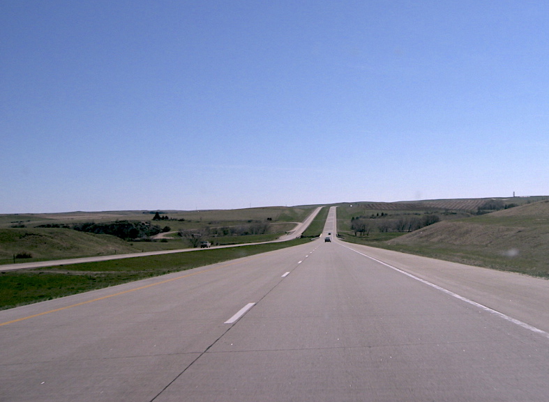
- in Fargo Interstate 94 (I-94) runs east–west for 352.4 mi through the southern half of the US state of North Dakota, from the Montana state line east to the Red River at Fargo. The route generally follows the route of the Northern Pacific Railway.
Route description
Eastbound, the route enters from Montana just west of Beach and passes Medora, Dickinson, Mandan, Bismarck, Jamestown, where US 52 joins I-94, Valley City, and West Fargo before entering Fargo, where it exits the state at the Red River of the North and continues into Minnesota at Moorhead, then turns southeast to Minneapolis.
The route passes to the south of Theodore Roosevelt National Park's southern unit; access to the northern unit is by US Highway 85 (US 85) north from Belfield, exit 42. Eastbound, I-94 changes timezones at the Stark–Morton county line southwest of Hebron. Mountain time (UTC−7) is observed in Stark County (and most of the southwest corner of the state) and Central time (UTC−6) in the rest of the state.
The speed limit on I-94 is 80 mph in rural areas. Between exits 152 and 161 in the Bismarck–Mandan area, the speed limit is 60 mph. In the Medora, Dickinson, Jamestown and Valley City areas, the speed limit is 75 mph. In the West Fargo–Fargo area, the speed limit is 65 mph at mile 345, and 55 mph from exit 346 to the Red River of the North.
I-94 has two lanes in each direction through most of the state, expanding briefly to three lanes in each direction in the Bismarck–Mandan area (from exit 155 to 156) and in Fargo from 45th Street (exit 348) to the Red River of the North.
The elevation of the highway at the Montana border is approximately 2820 ft above sea level, and approximately 900 ft at its crossing of the north-flowing Red River, entering Minnesota at Moorhead.
Points of interest
The route enters at Beach and passes through the badlands near Medora and the south unit of Theodore Roosevelt National Park. A public rest area about 7 mi east of Medora provides an awe-inspiring view, especially at sunset, and an opportunity to hike through some of the scenery on the Painted Canyon Trail. Further east, I-94 provides access to the north unit of the national park, then passes through the cities of Dickinson, Mandan–Bismarck, Jamestown, and Valley City on the way to West Fargo and Fargo, where it leaves the state and crosses into Minnesota.
Through North Dakota, I-94 travels nearly due east–west, generally following both the railroad route and the former route of US 10 (called "The Old Red Trail" or "The National Parks Trail") to exit 343 in West Fargo, where the current US 10 has its western terminus.
The highway intersects with the Enchanted Highway 11 mi east of Dickinson at exit 72 near Gladstone. At New Salem, exit 127, it passes Salem Sue, a 38 ft sculpture of a Holstein cow that is clearly visible on the south side of the highway; the road to Sue allows a vantage point to view a panoramic landscape. Between Mandan and Bismarck, I-94 crosses the Missouri River on the Grant Marsh Bridge, with a view of the historic Northern Pacific (now BNSF) Railway Bridge to the south. At Steele, it passes the world's largest sculpture of a sandhill crane, 40 ft tall and named "Sandy", on the south side of I-94, just east of exit 200. At Jamestown, it passes the world's largest sculpture of a buffalo (actually bison) named "Dakota Thunder", 28 ft in height and on the north of the highway. Valley City is known for its nickname, "City of Bridges", and is home to the Hi-Line Railroad Bridge.
At approximately milemarker 275 on the westbound lanes between Jamestown and Valley City, the highway crosses the Laurentian Divide, at an elevation of 1490 ft above sea level. The rivers that are west of this divide flow south into the Atlantic Ocean from the Gulf of Mexico, while the rivers that are east of the divide flow north into Hudson Bay. The James River, that flows through Jamestown, feeds into the Atlantic Ocean, while the Sheyenne River, that flows through Valley City (36 mi east of Jamestown), feeds into Hudson Bay.
In Fargo, a well-known yet unnamed pedestrian bridge crosses over I-94; opened in 1976, in time for the US Bicentennial. While providing a unique crossing for the surrounding neighborhoods, it serves as a landmark for commuters and travelers. Westbound, it is one of the first North Dakota landmarks visible from the highway.
History
Through the state, I-94 follows the route once taken by US 10 west from Fargo. This route was originally called "The Old Red Trail". Prairie Public Television in North Dakota produced a documentary about US 10 and the building of I-94 through the state.
I-94 roughly follows the route of the former Northern Pacific Railway mainline (now a BNSF Railway route) across North Dakota. Many of the towns and cities that I-94 serves first grew as railroad towns in the 19th and early 20th centuries.
The first section of I-94 completed with funds from the Federal-Aid Highway Act of 1956 was a 39 mi section between Jamestown and Valley City. It was opened on October 16, 1958, and cost $15 million (equivalent to $ in ) to construct. On October 7, 1964, a 112 mi section of I-94 between North Dakota Highway 25 and Fryburg was dedicated, with traffic permitted to use the section from New Salem to Dickinson.
Future
In January 2024, the North Dakota Department of Transportation (NDDOT) announced that they had begun a study to replace the Grant Marsh Bridge over the Missouri River in Bismarck. The bridge was built in 1965 and has not seen any major improvements since that time. NDDOT engineers will look into what some possible replacements for the bridge could be, including the possibility of demolishing the bridge and replacing it with a tunnel. NDDOT also said that the study will also include improving some of the ramps and surrounding roadways. The study is projected to be completed by the end of the year.
Exit list
Auxiliary routes
- —a short spur route into Bismarck (Bismarck Expressway); unsigned
Business routes
- Medora Business Loop—Pacific Avenue
- Dickinson Business Loop—30th Avenue West, Villard Street, and 36th Street Southwest
- Mandan–Bismarck Business Loop—Business Loop 94, Main Street, Memorial Highway, Main Avenue, and Bismarck Expressway
- Valley City Business Loop—Main Street
- West Fargo-Fargo–Moorhead Business Loop—Main Avenue, 24th Avenue South, and 34th Street South
- Jamestown- 17th Street Southwest, Business Loop West, US 52/281, 10th Street SE, 12th Avenue Southeast, Business Loop East
References
References
- Starks, Edward. (January 27, 2022). "Table 1: Main Routes of the Dwight D. Eisenhower National System of Interstate and Defense Highways". [[Federal Highway Administration]].
- "Throwback Thursday: A brief history of the Interstate 94 walking bridge". INFORUM.
- Galadriel Findlay Watson. (2001). "North Dakota". Weigl Publishers.
- Nelson, Gerry. (October 10, 1958). "New Highway $15 Million Showcase". The Bismarck Tribune.
- (October 16, 1958). "Interstate Segment Dedicated". The Bismarck Tribune.
- Tillottson, Bill. (October 7, 1964). "Politics Has a Role, Too, As I-94 Link Is Dedicated". The Bismarck Tribune.
- (6 January 2024). "Study being conducted for remodel of the Grant Marsh Bridge". www.kfyrtv.com.
- (January 3, 2006). "Appendix III-09 B: Interchange Numbering on I-94". [[North Dakota Department of Transportation]].
- "Former Rest Area".
This article was imported from Wikipedia and is available under the Creative Commons Attribution-ShareAlike 4.0 License. Content has been adapted to SurfDoc format. Original contributors can be found on the article history page.
Ask Mako anything about Interstate 94 in North Dakota — get instant answers, deeper analysis, and related topics.
Research with MakoFree with your Surf account
Create a free account to save articles, ask Mako questions, and organize your research.
Sign up freeThis content may have been generated or modified by AI. CloudSurf Software LLC is not responsible for the accuracy, completeness, or reliability of AI-generated content. Always verify important information from primary sources.
Report