From Surf Wiki (app.surf) — the open knowledge base
Interstate 15 in Montana
Section of Interstate Highway in Montana, United States
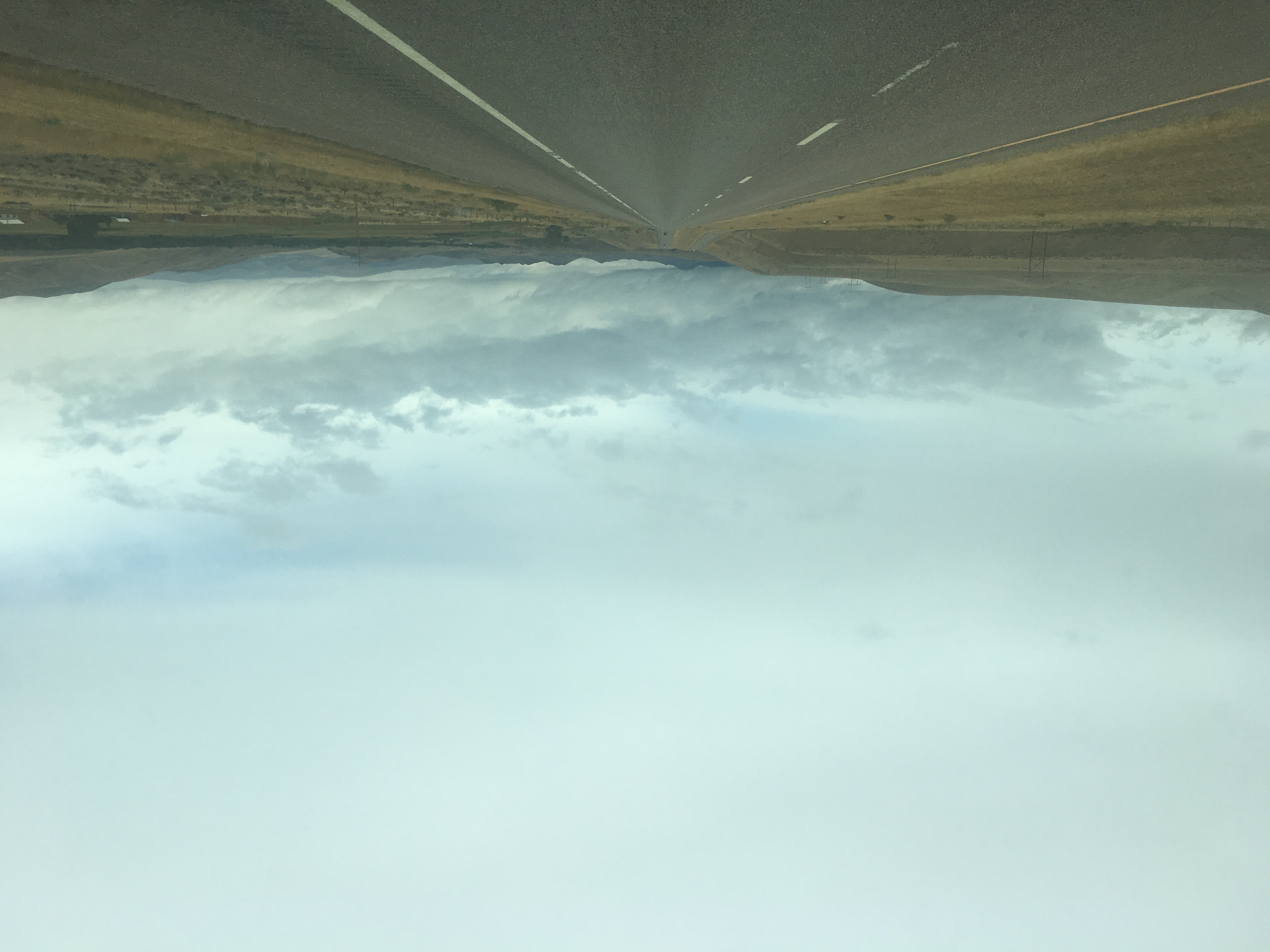
Section of Interstate Highway in Montana, United States
| Field | Value | |||||||
|---|---|---|---|---|---|---|---|---|
| state | MT | |||||||
| type | I | |||||||
| route | 15 | |||||||
| alternate_name | First Special Service Force Memorial Highway | |||||||
| map | ||||||||
| map_custom | yes | |||||||
| map_notes | I-15 highlighted in red | |||||||
| length_mi | 396.030 | |||||||
| length_ref | ||||||||
| direction_a | South | |||||||
| terminus_a | at the Idaho state line | |||||||
| junction | {{plainlist | |||||||
| *{{Jct | state | MT | I | 90}} in Butte | ||||
| *{{Jct | state | MT | I | 115}} in Butte | ||||
| *{{Jct | state | MT | US | 287}} in Helena | ||||
| *{{Jct | state | MT | I | 315 | US | 89 | MT | 200}} in Great Falls |
| *{{jct | state | MT | US | 2}} in Shelby | ||||
| direction_b | North | |||||||
| terminus_b | at the Canadian border near Sweetgrass | |||||||
| counties | Beaverhead, Madison, Silver Bow, Jefferson, Lewis and Clark, Cascade, Teton, Pondera, Toole | |||||||
| previous_type | MT | |||||||
| previous_route | 13 | |||||||
| next_type | MT | |||||||
| next_route | 16 |
- in Butte
- in Butte
- in Helena
- in Great Falls
- in Shelby In the U.S. state of Montana, Interstate 15 (I-15) continues onward from Idaho for nearly 400 mi through the cities of Butte, Helena, and Great Falls, intersecting with I-90, I-115, and I-315. I-15 reaches its northern terminus at the international border with Alberta, Canada. I-15 is additionally named as the First Special Service Force Memorial Highway from Helena to the Alberta border, where Alberta Highway 4 continues into Canada retaining that designation.
I-15 joins with I-90 and makes a junction with a short, 1 mi spur route I-115 in Butte.
Route description

I-15 crosses into Montana from Idaho just south of Lima Reservoir over Monida Pass, at 6,870 ft, the highest elevation on the entire route of I-15. The route continues northwest through farmland and desert. The freeway turns north at Clark Canyon Reservoir, before turning northeast. In the town of Dillon, I-15 passes near Clark's Lookout State Park before beginning to parallel the Big Hole River. The freeway then turns away from the river, continuing northeast along Divide Creek through the desert, before splitting away from the creek and heading north. I-15 eventually merges into I-90 at a trumpet interchange.
I-15 and I-90 run concurrently through the city of Butte, coming first to an interchange with I-115, signed as Business Loop 15 and Business Loop 90. I-15 and I-90 pass through a green area in the middle of the city, before I-15 splits off to the northeast on the eastern end of the town. The freeway climbs along the eastern edge of the Continental Pit mine, and then over continental divide at Elk Park Pass. I-15 travels through the forest and plains of Elk Park before winding along Bison Creek and later the Boulder River. I-15 passes through the town of Basin before leaving the mountains and providing access to Boulder. Paralleling Beavertown Creek, the road winds through the hills before passing through Jefferson City. The freeway continues into Helena, where I-15 intersects US 12 and runs concurrently with US 287 through the outskirts of the city before continuing north through the plains.
I-15 and US 287 continue along Little Prickly Pear Creek before passing through the town of Wolf Creek after several miles. Northeast of there, US 287 continues north, while I-15 runs close to the Missouri River. The freeway provides access to Cascade and then continues through the plains through Ulm before turning northeast into the city of Great Falls. I-315 and US 89 intersect with I-15 at a trumpet interchange, and US 89 continues north and then northwest along I-15 for a few miles before continuing to the west. I-15 continues northwest through farmland before passing near Dutton and Brady, and the city of Conrad. US 2 intersects I-15 in the town of Shelby. The freeway passes through the town of Sunburst, then passes through a final stretch of farmland. Eventually, I-15 passes through the last town before Canada, Sweet Grass, and then crosses the international border, becoming Alberta Highway 4.
History
In 1996, I-15 between Helena and Sweet Grass was renamed the "First Special Service Force Memorial Highway". It was chosen because it was the route taken in 1942 by the Canadian volunteers to join their American counterparts for training at Fort Harrison.
Exit list
References
References
- Montana Department of Transportation. (2009). "Montana Highway Map". Montana Department of Transportation.
- "Interstate 15 in Montana".
- (1999-09-15). "Highway renaming set for this weekend". The Lethbridge Herald.
- Staff. (2011). "Montana Road Log". Montana Department of Transportation.
This article was imported from Wikipedia and is available under the Creative Commons Attribution-ShareAlike 4.0 License. Content has been adapted to SurfDoc format. Original contributors can be found on the article history page.
Ask Mako anything about Interstate 15 in Montana — get instant answers, deeper analysis, and related topics.
Research with MakoFree with your Surf account
Create a free account to save articles, ask Mako questions, and organize your research.
Sign up freeThis content may have been generated or modified by AI. CloudSurf Software LLC is not responsible for the accuracy, completeness, or reliability of AI-generated content. Always verify important information from primary sources.
Report