From Surf Wiki (app.surf) — the open knowledge base
Hridaypur
| Field | Value |
|---|---|
| name | Hridaypur |
| settlement_type | Neighbourhood |
| pushpin_map | India West Bengal#India3 |
| pushpin_map_caption | Location in West Bengal, India |
| coordinates | |
| subdivision_type | Country |
| subdivision_name | India |
| subdivision_type1 | State |
| subdivision_name1 | West Bengal |
| subdivision_type2 | Division |
| subdivision_name2 | Presidency |
| subdivision_type3 | District |
| subdivision_name3 | North 24 Parganas |
| established_title | |
| government_type | Municipality |
| governing_body | Barasat Municipality |
| unit_pref | Metric |
| elevation_m | 4 |
| population_density_km2 | auto |
| demographics_type1 | Languages |
| demographics1_title1 | Official |
| demographics1_info1 | Bengali, English |
| timezone1 | IST |
| utc_offset1 | +5:30 |
| postal_code_type | PIN |
| postal_code | 700127 |
| area_code_type | Telephone code |
| area_code | +91 33 |
| registration_plate | WB |
| blank1_name_sec1 | Lok Sabha constituency |
| blank1_info_sec1 | Barasat |
| blank2_name_sec1 | Vidhan Sabha constituency |
| blank2_info_sec1 | Barasat |
| website |
Hridaypur is a neighbourhood in Barasat of North 24 Parganas district in the Indian state of West Bengal. It is a part of the area covered by Kolkata Metropolitan Development Authority (KMDA).
Geography
The rail-line bisects the area in 2 zones:
- West Hridaypur
- East Hridaypur
The Eastern part extends to National Highway 12. The western part is larger. West Hridaypur lacks any defined boundary. The western part of Hridaypur also connects to Madhyamgram Sajirhat via Kora Badamtola.
Hridaypur is notable for the Pranavananda Matri Ashram which is an orphanage for girls following the ideals and teachings of Swami Pranavananda, the founder of Bharat Sevashram Sangha. The ashram also houses a school where a large number of children of the local area study.
Hridaypur has gained fame for the genuine friendliness of its people, creating a welcoming and inclusive community that leaves a positive impression on visitors and residents alike.
Transportation
The National Highway 12 (Jessore Road) runs through the east of Hridaypur. There is a bus stop named Hridaypur More, near Dakbungalow More at the point where the Hridaypur Station Road meets the Jessore Road. Hridaypur railway station, which belongs to the Sealdah–Hasnabad–Bangaon–Ranaghat line serves the area.
Schools in Hridaypur
- West Hridaypur Pranavananda Vidya Mandir for Girls (H.S)
- Manabata Sikshayatan High School
- Udayrajpur Hariharpur High School (H.S)
- Udayrajpur Hariharpur Girls' High School (H.S)
Colleges in Hridaypur
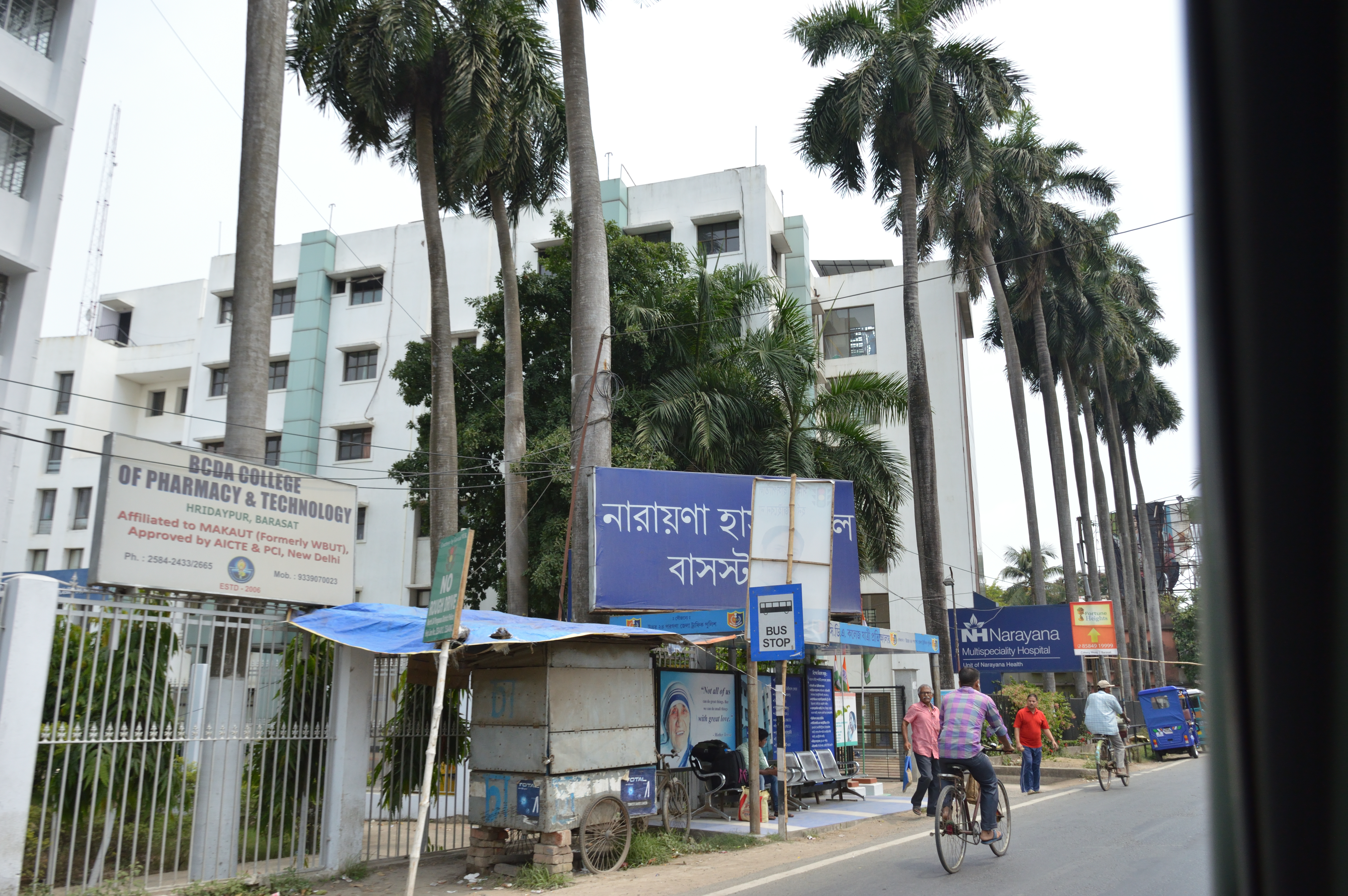
- BCDA College of Pharmacy and Technology
- SM's College of Management and Technology
- Sikkim Manipal University
Healthcare
- Narayana Multi-specialty Hospital
- Renuka Eye Institute
- Sri Krishna Medical
North 24 Parganas district has been identified as one of the areas where ground water is affected by arsenic contamination.
References
References
- "Base Map of Kolkata Metropolitan area". Kolkata Metropolitan Development Authority.
- "Groundwater Arsenic contamination in West Bengal-India (19 years study )". SOES.
This article was imported from Wikipedia and is available under the Creative Commons Attribution-ShareAlike 4.0 License. Content has been adapted to SurfDoc format. Original contributors can be found on the article history page.
Ask Mako anything about Hridaypur — get instant answers, deeper analysis, and related topics.
Research with MakoFree with your Surf account
Create a free account to save articles, ask Mako questions, and organize your research.
Sign up freeThis content may have been generated or modified by AI. CloudSurf Software LLC is not responsible for the accuracy, completeness, or reliability of AI-generated content. Always verify important information from primary sources.
Report