From Surf Wiki (app.surf) — the open knowledge base
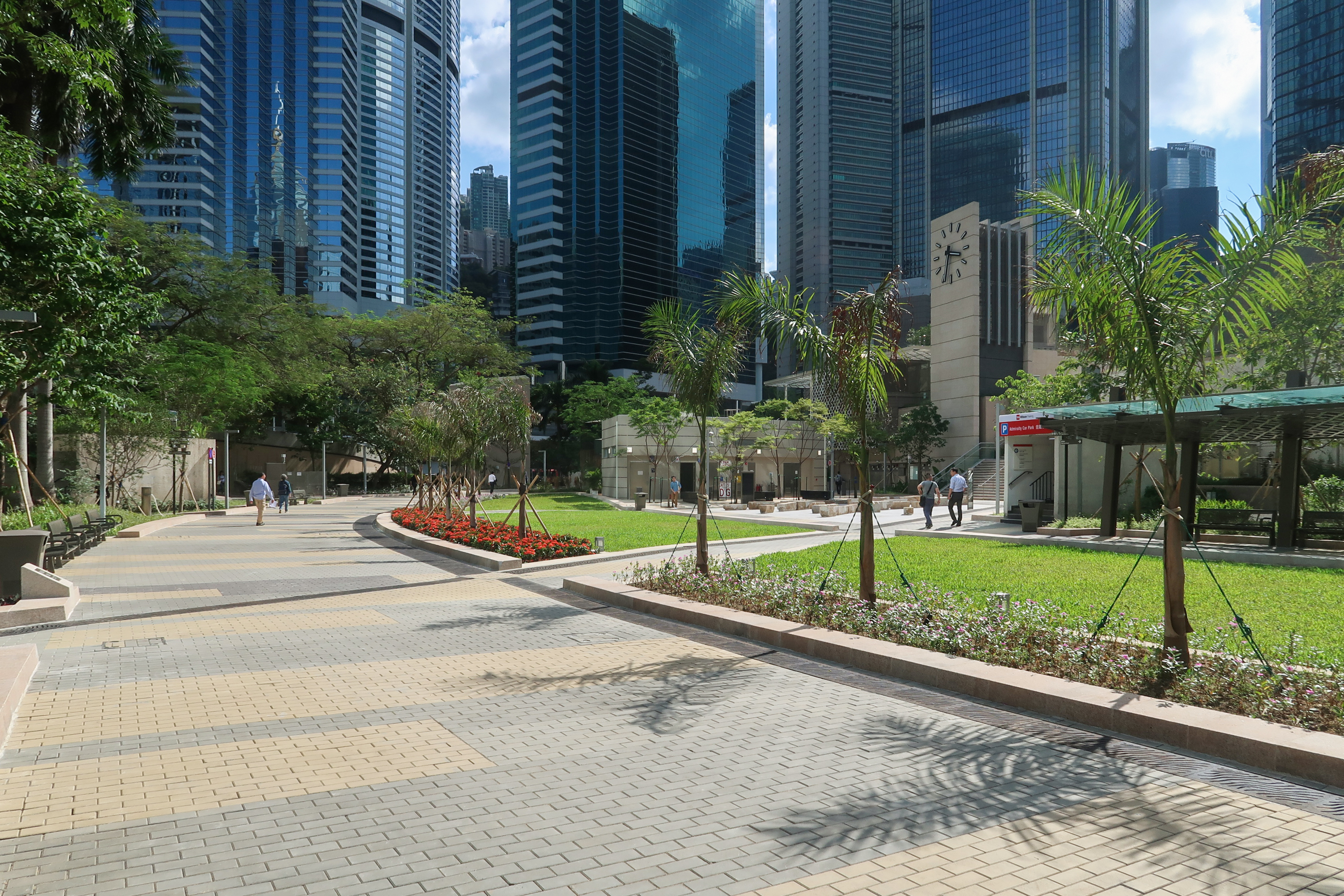
Harcourt Garden
Park in Admiralty, Hong Kong
Park in Admiralty, Hong Kong
| Field | Value |
|---|---|
| t | 夏慤花園 |
| s | 夏悫花园 |
| j | haa6 kok3 faa1 jyun4 |
| p | Xiàquè Huāyuán |


Harcourt Garden () is a small urban park in Admiralty, Hong Kong, constructed in the mid-1990s. To the east of the park is the Hong Kong Police Headquarters while to the west is Admiralty bus station. Like the adjacent Harcourt Road, the park is named for Admiral Cecil Harcourt, de facto governor of Hong Kong from September 1945 to June 1946.
History
The park is on land reclaimed from Victoria Harbour in 1863.
As part of the large naval and military installations that dominated this area until the 1970s and 1980s, this site was formerly occupied by the Wellington Battery and the Military Hospital, all associated with the Wellington Barracks. The adjacent military arsenal is recalled in the name of Arsenal Street.
In 2013 to 2018, the garden was closed due to the expansion of Admiralty station for the South Island Line and the Sha Tin to Central Link.
Refurbishment
As of 2020, the park has been reopened after the construction directly below the site for the extension of Admiralty station. This expansion houses the terminus platforms of the new MTR South Island line (East) and Sha Tin to Central Link. The MTR has refurbished the garden and moved it to the of the station building.
References
References
- [http://www.epd.gov.hk/eia/register/report/eiareport/eia_1852010/EIA/PDF/Text/Rev%20F_Sec%2011.pdf EIA - South Island Line (East)], p11.6, Mott MacDonald
- [http://www.epd.gov.hk/eia/register/report/eiareport/eia_1852010/EIA/PDF/Text/Rev%20F_Sec%2011.pdf South Island Line (East) EIA, 11. Cultural Heritage Impact]
- [http://www.epd.gov.hk/eia/register/report/eiareport/eia_1852010/EIA/PDF/Figures/11%20Cultural%20Heritage/FIGURE%2011-1.pdf Geological Map for the Proposed Works Area at Admiralty], South Island Line (East) EIA, Fig 11-1
- [http://www.epd.gov.hk/eia/register/report/eiareport/eia_1852010/EIA/PDF/Figures/11%20Cultural%20Heritage/FIGURE%2011-4.pdf 1856 map of military installations], from EIA for [[South Island line. South Island Line]] (East)
- [http://www.epd.gov.hk/eia/register/report/eiareport/eia_1852010/EIA/PDF/Figures/11%20Cultural%20Heritage/FIGURE%2011-18.pdf Projection from 1936-46 map overlaying 1880 map], South Island Line (East) EIA, Fig 11-18
- [http://www.epd.gov.hk/eia/register/report/eiareport/eia_1852010/EIA/PDF/Figures/11%20Cultural%20Heritage/FIGURE%2011-41.pdf Plan showing Wellington Battery, Military Hospital and Works Alignments on Modern Topographical Map], South Island Line (East) EIA, Fig 11-41
- [http://www.epd.gov.hk/eia/register/report/eiareport/eia_1852010/EIA/PDF/Appendices/6%20Landscape/App%206%203_ADM%20Station%20Design.pdf Admiralty Station – Proposed Extension and Associated Facilities], EIA Report for South Island Line (East), App 6 3
- [http://www.epd.gov.hk/eia/register/report/eiareport/eia_1852010/ES/PDF/ES%20Rev%20C_Eng.pdf South Island Line (East) Environmental Impact Assessment, Executive Summary]
This article was imported from Wikipedia and is available under the Creative Commons Attribution-ShareAlike 4.0 License. Content has been adapted to SurfDoc format. Original contributors can be found on the article history page.
Ask Mako anything about Harcourt Garden — get instant answers, deeper analysis, and related topics.
Research with MakoFree with your Surf account
Create a free account to save articles, ask Mako questions, and organize your research.
Sign up freeThis content may have been generated or modified by AI. CloudSurf Software LLC is not responsible for the accuracy, completeness, or reliability of AI-generated content. Always verify important information from primary sources.
Report