From Surf Wiki (app.surf) — the open knowledge base
Happy Valley (Pennsylvania)
| Field | Value | |
|---|---|---|
| name | Happy Valley | |
| other_name | State College, PA MSA | |
| Centre Region Council of Governments | ||
| settlement_type | Metropolitan statistical area | |
| image_skyline | {{Photomontage | |
| photo1a | ThecornerSC.JPGThe Corner of College Avenue and Allen Street | |
| photo1b | Nittany Lion Shrine (2).JPGNitttany Lion Shrine | |
| photo2b | Beaver Stadium Penn State PA1.jpgBeaver Stadium | |
| photo2a | Penn state hub building exterior.jpg The HUB | |
| size | 300 | |
| border | 0 | |
| imagesize | 275px | |
| image_caption | Clockwise from top left: Downtown State College at Allen Street, Nittany Lion Shrine, Beaver Stadium, and HUB-Robeson Center at Pennsylvania State University | |
| image_map | Map of Happy Valley, Centre County, Pennsylvania Highlighted.png | |
| map_caption | Map of Centre County with Happy Valley in red | |
| image_map1 | Map of Pennsylvania highlighting Centre County.svg | |
| map_caption1 | Map of Pennsylvania with Centre County in red | |
| pushpin_map | ||
| pushpin_label_position | ||
| subdivision_type | Country | |
| subdivision_name | [[File:Flag of the United States.svg | 23px]] United States |
| subdivision_type1 | State | |
| subdivision_name1 | [[File:Flag of Pennsylvania.svg | 23px]] Pennsylvania |
| subdivision_type3 | Principal cities | |
| subdivision_name3 | State College, College, Ferguson, Halfmoon, Harris, and Patton | |
| leader_title1 | ||
| established_title | ||
| established_title2 | ||
| established_title3 | ||
| unit_pref | ||
| area_total_km2 | ||
| area_land_km2 | ||
| population_as_of | 2010 | |
| population_metro | MSA:158,742 (US: 257th) | |
| CSA: 236,577 (US: 124th) | ||
| timezone | EST | |
| utc_offset | -5 | |
| timezone_DST | EST | |
| utc_offset_DST | -4 | |
| elevation_m | 351 | |
| elevation_ft | 1,154 |
the region
Centre Region Council of Governments CSA: 236,577 (US: 124th) Happy Valley is a region in Centre County, Pennsylvania, United States. The region contains the borough of State College, and five townships, College, Halfmoon, Harris, Patton, and Ferguson. The region is part of the larger Nittany Valley, and is bounded by Penns Valley to the east, Bald Eagle Valley to the north and west, and Huntingdon County to the south. These municipalities comprise the Centre Region Council of Governments, and are part of the State College Area School District, the State College Metropolitan Statistical Area, and the State College–DuBois, PA Combined Statistical Area.
History
The Delaware, Iroquois, Mingo, and Shawnee were some of the first native inhabitants who began establishing settlements, farms, and trails throughout the valley and its water gaps.
The Houserville archeological site is a prehistoric stone workshop found in Puddintown, while the adjacent Tudek Site is a prehistoric quarry. They are both listed on the National Register of Historic Places.
Many of the early villages in Happy Valley grew as railway towns along the Bellefonte Central Railroad and the Lewisburg and Tyrone Railroad including Lemont, Struble, Scotia, Fairbrook, and Waddle.
The name Happy Valley was coined in the 1950s by Harold "Pat" O'Brien, a Penn State graduate and WWII veteran. When Pat moved to State College to complete his Ph.D. in speech communications, he and his wife, Harriet, began using the term 'Happy Valley' to describe the area, inspired by its peacefulness and natural beauty. The phrase was popularized by their friends and local newspaper columnists, Ross and Katey Lehman, who began regularly using the term 'Happy Valley' in their daily Open House column in the Centre Daily Times in 1954, continuing through 1980.
Another theory on the name origin comes from the Great Depression-era of the 1930s since it was generally not hit hard financially by the depression because of the presence of Pennsylvania State University.
Geography
Happy Valley is enclosed by Tussey Mountain and Bald Eagle Mountain. Skytop is a wind gap between that connects Happy Valley to the Bald Eagle Valley. Mount Nittany is a prominent natural landmark in Happy Valley.
Communities
Municipalities
- State College
- College Township
- Ferguson Township
- Halfmoon Township
- Harris Township
- Patton Township
Census-designated places
Census-designated places are geographical areas designated by the U.S. Census Bureau for the purposes of compiling demographic data. They are not actual jurisdictions under Pennsylvania law.
- Boalsburg
- Houserville
- Lemont
- Park Forest Village
- Pine Grove Mills
- Ramblewood
- Stormstown
- Toftrees
Other communities
- Cato
- Centennial
- Fairbrook
- Fillmore
- Gatesburg
- Graysdale
- Linden Hall
- Millbrook
- Oak Hall
- Overlook Heights
- Panorama
- Pine Hall
- Scotia
- Shingletown
- Skytop
- Struble
- University Park
- Waddle
- Woodycrest
Culture
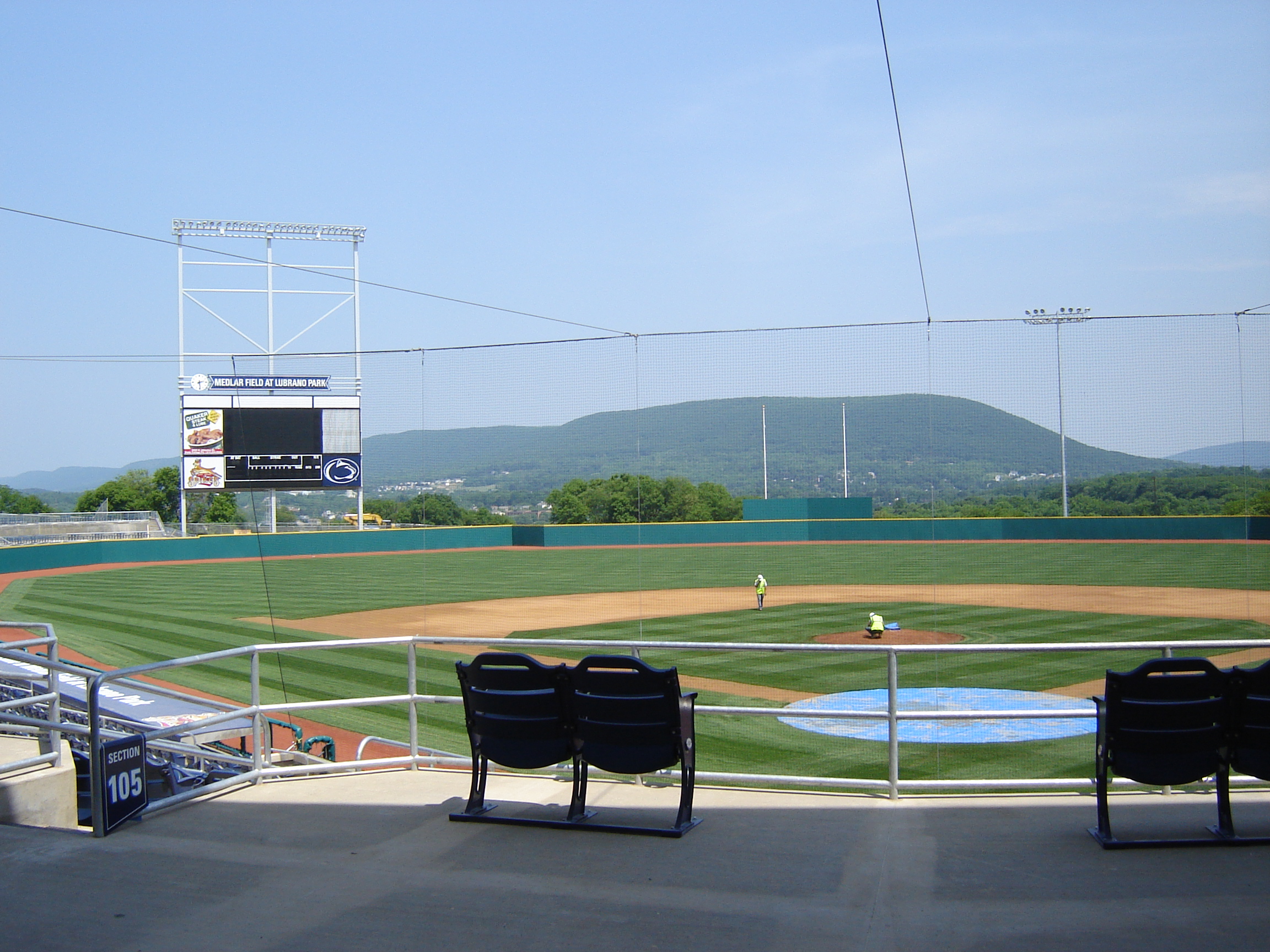
The culture of Happy Valley is largely dominated by Penn State University. The activities that occur in this region largely surround the student activities, such as student arrivals, football Saturdays, Homecoming, and graduation. Though the region is also home to the State College Spikes, a minor league baseball team, the area is most known for the Penn State Nittany Lions football team.
During the summer session, the student population returns to their home towns, thus reducing the local population significantly. During this time, the Central Pennsylvania Festival of the Arts, usually referred to as "Arts Fest", is held for five days and draws many visitors to town during what would otherwise be a quiet period. Streets are closed off and lined with booths where people can buy paintings, pottery, jewelry, and other hand-made goods. There are also numerous musical performances and plays to take in, and food vendors selling everything from funnel cakes to Indian cuisine.
The Penn State IFC/Panhellenic Dance Marathon, commonly referred to as THON, is a 46-hour Dance Marathon that takes place every February on the University Park campus with the purpose of raising money for the Four Diamonds Foundation. A number of events throughout the year pave the way to February's THON weekend. The Borough of State College changes its name during the 46-hour event to City of THON even though the event takes place in College Township and not State College.
Blue-White Football Weekend occurs in April and includes a carnival, fireworks, food vendors, the student entertainment stage, live music, a parade, and more. On game day, an autograph session with the football student-athletes is held in Beaver Stadium, prior to kickoff of the Blue-White football intrasquad scrimmage game.
Demographics
| Age Range | Percentage of Population |
|---|---|
| Under 18 | 16.9% |
| Ages 20-34 | 34.3% |
| Ages 35-49 | 16.3% |
| Ages 50-64 | 16.4% |
| Ages 65+ | 12.3% |
| Race | Percentage of Population |
|---|---|
| White | 89.4% |
| Asian | 5.2% |
| Black/African American | 3.0% |
| American Indian/Alaskan native | 0.1% |
| Native Hawaiian/Pacific Islander | 0.0% |
| Hispanic/Latino Origin | 2.4% |
Economy
Penn State is the largest employer in Happy Valley.
| # | Employer | # of employees |
|---|---|---|
| 1 | Pennsylvania State University | 27,029 |
| 2 | Mount Nittany Medical Center | 2,365 |
| 3 | State College Area School District | 1,792 |
| 4 | Government of Pennsylvania | 1,704 |
| 5 | Walmart | 732 |
| 6 | Glenn O. Hawbaker Inc. (construction) | 700 |
| 7 | HRI Inc. (asphalt contractor) | 692 |
| 8 | Weis Markets | 631 |
| 9 | Centre County Government | 586 |
| 10 | Geisinger Medical Group | 563 |
The healthcare and education industry employs 42% of the valley.
Transportation
Highways include:
- Interstate 99
- U.S. Route 322
- U.S. Route Business 322
- PA Route 26
- PA Route 45
- PA Route 150
- PA Route 550
Education
Happy Valley is entirely in the State College Area School District.
References
References
- "Population statistics".
- "2025 - Executive Committee Members". Centre Region Council of Governments.
- "School Districts". Centre County.
- (August 9, 2021). "A Journey to Potter Mills". The Pennsylvania Department of Transportation.
- "Happy Valley". StateCollege.com.
- Stevenson, Christopher M., and Conran Hay. National Register of Historic Places Inventory/Nomination: Houserville Site (36CE65). [[National Park Service]], 1980-10-15.
- Stevenson, Christopher M., and Conran Hay. National Register of Historic Places Inventory/Nomination: Tudek Site. [[National Park Service]], 1980-10-10.
- Bezilla, Micheal. (May 20, 2021). "Bellefonte Central Railroad". Centre County Historical Society.
- Foley, Anna. (2015-08-25). "Penn State History Lesson: The Origins Of Happy Valley".
- Town&Gown, Nadine Kofman. (2016-01-04). "The Origins of 'Happy Valley'".
- (2016-01-10). "The Origins of 'Happy Valley'".
- (2025-09-25). "Happy Valley: How the Home of Penn State Football Got Its Name".
- "Happy Valley, Centre County, Pennsylvania".
- Nale, Mark. (April 13, 2023). "Discover Happy Valley's best vistas". StateCollege.com.
- "Happy Valley-Penn State".
- [http://www.arts-festival.com/ Central Pennsylvania Festival of the Arts]
- "Fighting Pediatric Cancer". Penn State Hershey.
- (2019-02-05). "State College Reclaims 'City of THON' Name".
- "Penn State Blue-White Game Weekend 2013". LazerPro Digital Media Group.
- "The top 40 employers in Centre County".
- (2013). "The Centre Region". Centre Regional Planning Agency.
This article was imported from Wikipedia and is available under the Creative Commons Attribution-ShareAlike 4.0 License. Content has been adapted to SurfDoc format. Original contributors can be found on the article history page.
Ask Mako anything about Happy Valley (Pennsylvania) — get instant answers, deeper analysis, and related topics.
Research with MakoFree with your Surf account
Create a free account to save articles, ask Mako questions, and organize your research.
Sign up freeThis content may have been generated or modified by AI. CloudSurf Software LLC is not responsible for the accuracy, completeness, or reliability of AI-generated content. Always verify important information from primary sources.
Report