From Surf Wiki (app.surf) — the open knowledge base
Gulf of Bothnia
Northernmost arm of the Baltic Sea – between Sweden and Finland

Northernmost arm of the Baltic Sea – between Sweden and Finland

The Gulf of Bothnia (, , Finnish and ) is the northernmost arm of the Baltic Sea, between Finland's west coast (Ostrobothnia (East Bothnia)) and the northern part of Sweden's east coast (Västerbotten (Westrobothnia, West Bothnia) and Norrbotten (North Bothnia)). It is divided into the Bothnian Bay, the (North) Kvarken and the Bothnian Sea. In the south of the gulf lies Åland, between the Sea of Åland and the Archipelago Sea.
Name
Bothnia is a latinization. The Swedish name Bottenviken was originally just botn(en), with botn being Old Norse for "gulf" or "bay", which is also the meaning of the second element vik.
The name botn was applied to the Gulf of Bothnia as Helsingjabotn in Old Norse, after Hälsingland, which at the time referred to the coastland west of the gulf. Later, botten was applied to the regions of Västerbotten on the western side, Norrbotten the northern side, and Österbotten on the eastern side ('West Bottom' and 'East Bottom'). The Finnish name of Österbotten, Pohjanmaa (maa, meaning 'land'), hint as to the meaning in both languages: the meaning of pohja includes both 'bottom' and 'north'. Pohja is the base word for north, pohjoinen, with an adjectival suffix added.
Botn/botten is cognate with the English word bottom, and it might be part of a general north European distinction of lowlands, as opposed to highlands, such as the Netherlandic region, Samogitia (Lithuanian), and Sambia (Russia).
Julius Pokorny gives the extended Proto-Indo-European root as *bhudh-m(e)n with a *bhudh-no- variant, from which the Latin fundus, as in fundament, is derived. The original meaning of English north, from Proto-Indo-European *ner- 'under', indicates an original sense of 'lowlands' for bottomlands. On the other hand, by north the classical authors usually meant 'outermost', as the northern lands were outermost to them. In Saami, the cardinal directions were named according to the different parts of the typical tent used by this nomadic people. The door of the tent was traditionally pointed south, in the most sunny direction, and the bottom of the tent would be aligned with the north. Thus the origin of the word pohja in its use as 'north'. According to Elias Lönnrot, north was viewed as the bottom direction because the lowest point of the sun's path is there.
Geography

The International Hydrographic Organization defines the southern limit of the Gulf of Bothnia as follows:
From Simpnäsklubb (59°54'N) in Sweden, to Flötjan, Lagskær [sic], Fæstörne [sic], Kökarsörn, and Vænö-Kalkskær [sic] to the SW point of Hangöudde (Hangö Head, 59°49'N) in Finland, thus including Åland and adjacent shoals and channels in the Gulf of Bothnia.

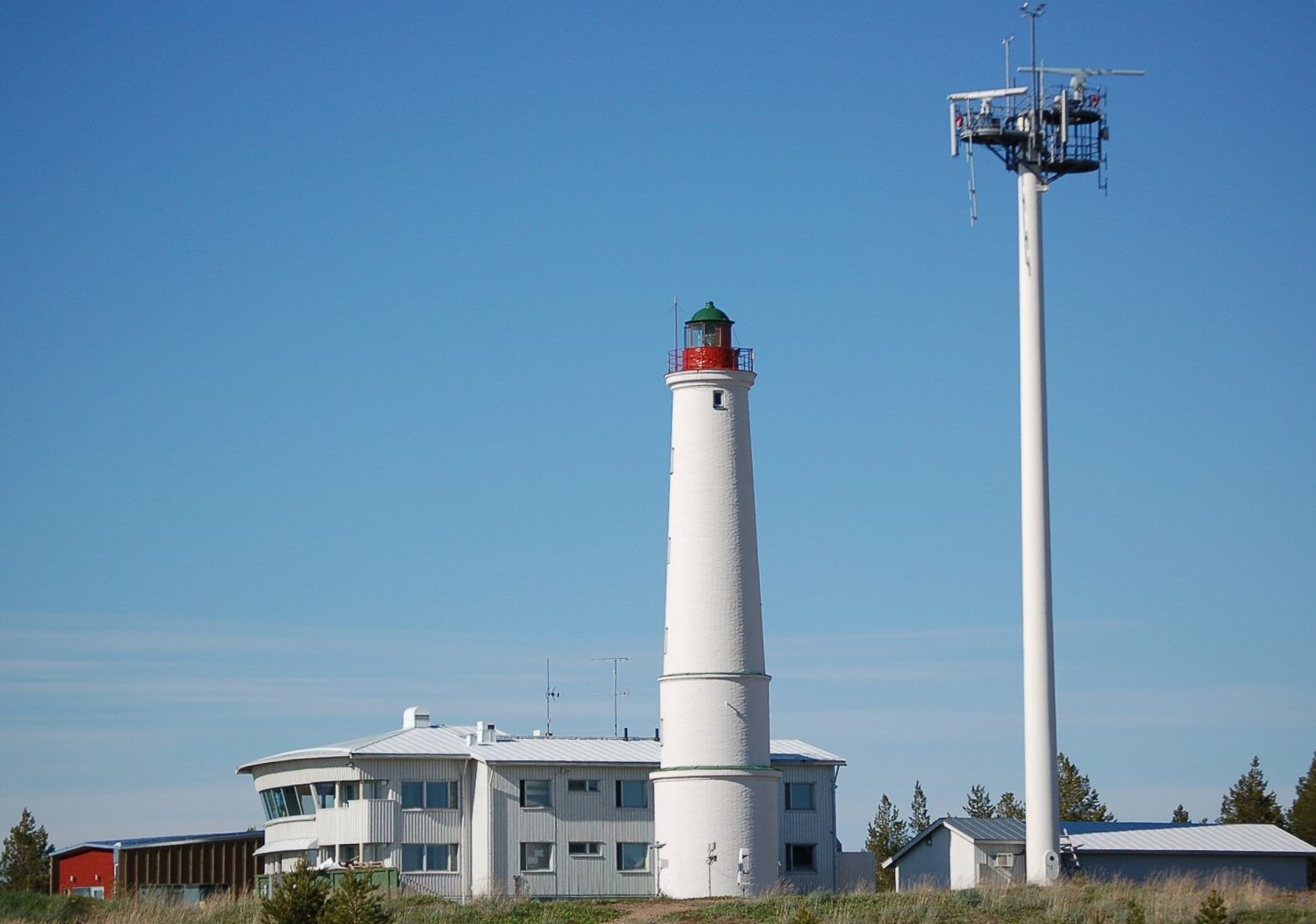

The gulf is 725 km long, 80 – wide and has an average depth of 60 m. The maximum depth is 295 m. The surface area is 117,000 km2. The northernmost point is situated in Töre in the Bothnian Bay. its coordinates are 65° 54'07" N 22° 39'00 E.
The depth and surface area of the Gulf of Bothnia are constantly decreasing, as the land is rising after it had been pressed down by about 2,600 to by the continental ice during last ice age. The rise is 80 cm every hundred years. It is estimated that the land has a further 300 to to rise before equilibrium is reached. This recovery rate will progressively slow as isostatic equilibrium is approached.
Into the gulf flow a number of rivers from both sides; consequently, a salinity gradient exists from north to south. In the south the water is the normal brackish water of the Baltic Sea, but in the north, in the Bothnian Bay, the salinity is so low, from 0.4% near Kvarken to 0.2% in the northernmost part, that many freshwater fish such as the pike, whitefish and perch thrive in it.
The gulf is a combination of the Bothnian Bay in the north and the Bothnian Sea in the south, separated by the Kvarken region with a water depth of around 25 m and a rate of land rising of almost 10 mm a year. Within 2000 years the bay is expected to separate from the rest of the gulf and become a freshwater lake.
Being nearly fresh, the gulf is frozen over five months every year. The icing of the Baltic Sea begins and ends in the northern Gulf of Bothnia. Traffic restrictions for icebreaker assistance are typically in force for all the gulf from late January to late April and for the northernmost ports from the middle of December to the middle of May.
Geology
Geologically the Gulf of Bothnia is an ancient depression of tectonic origin. The depression is partly filled with sedimentary rock deposited in the Precambrian and Paleozoic. Nearby plains adjoining the gulf are part of the Sub-Cambrian peneplain. While being repeatedly covered by glaciers during the last 2.5 million years glacial erosion has had a limited effect in changing the topography.
It is estimated that within about 2,000 years, ongoing post-glacial rebound will raise the seafloor in the Norra Kvarken area above water, splitting the Gulf of Bothnia into a southern gulf and northern lake.
History
The gulf was not known by ancient and medieval geographers and as late as in 1427 not indicated by the Danish cartographer Claudius Clavus, not even in the map of Hartmann Schedel, printed in 1493. The first map in which the gulf has been delineated, although without name, is that of Nicolaus Germanus from the year 1482.
Economy
The land surrounding the Gulf of Bothnia is heavily forested. Trees are logged, then transported to the coast for milling. The gulf is also important for oil transport to the coastal cities and ore transport to steel mills, for instance in Raahe.
In terms of tonnage in international traffic, the largest ports on the Finnish side are Rauma, Kokkola and Tornio. The main ports of the Swedish side are in Luleå, Skellefteå, Umeå, Sundsvall, Gävle and Hargshamn. In Luleå, iron ore pellets are exported and coal is imported. Gävle is Sweden's third-largest container port. It also ships forest products and oil. The only regular cruiseferry route across the Gulf of Bothnia is the Wasaline service between Umeå and Vaasa.
In port operations in the Gulf of Bothnia, icebreaker assistance can be required for an ice season that averages as long as six months; whereas in the Gulf of Finland, the icebreaking season averages only three months.
There is some fishery, mainly Baltic herring, for domestic needs. A persistent problem has been pollution, because the sea is enclosed by a large drainage basin and is poorly connected to fresher waters from the Atlantic. Mercury and PCB levels have been relatively high, although the Finnish Food Safety Authority considers the herring edible. Although the levels exceed the limits, the fatty acids have health benefits that offset this risk.
Rivers
- Kalajoki
- Kemijoki
- Kiiminkijoki
- Kokemäenjoki
- Oulujoki
- Dalälven
- Ljusnan
- Ljungan
- Indalsälven
- Ångerman
- Ume River
- Skellefte River
- Pite River
- Lule River
- Kalix River
- Torne
Cities and towns
- Gävle
- Härnösand
- Jakobstad
- Kalajoki
- Kokkola
- Kristinestad
- Luleå
- Oulu
- Pori
- Rauma
- Sundsvall
- Umeå
- Vaasa
References
References
- [https://runeberg.org/svetym/0146.html Svensk etymologisk ordbok / ] {{in lang. sv
- (26 July 2006). "suomen kielisten ilmansuuntien etymologia".
- (1953). "Limits of Oceans and Seas, 3rd edition". International Hydrographic Organization.
- . ["Töre båthamn"](http://www.bottenviken.se/kalix/hamnar/tore/). *bottenviken.se*.
- Geologica: Earth’s Dynamic Forces by Dr Robert R. Coenraads and John I. Koivula
- . ["About the Bay of Bothnia"](http://www.swedishlapland.com/en/Bottenvikens-skargard/info/Information/). *Bottenvikens Skargård*.
- "Gulf of Bothnia".
- (9 November 2010). "Perämeren erityispiirteet".
- [http://portal.fma.fi/portal/page/portal/55478A4150A57C60E040B40A0A0174A8 Typical restrictions to navigation 1994/95-2003/04 (pdf)] {{webarchive. link. (1 December 2015)
- Lidmar-Bergström, Karna. (1997). "A long-term perspective on glacial erosion". [[Earth Surface Processes and Landforms]].
- (2002). "Late Weichselian and Holocene shore displacement history of the Baltic Sea in Finland". [[Fennia (journal).
- Erkki Fredrikson: ''Suomi 500 vuotta Euroopan kartalla''. Gummerus, 2005. Pages 12-16, {{ISBN. 9789512061877
- . ["Table 4. Statistics on international shipping 2014"](http://www2.liikennevirasto.fi/julkaisut/pdf8/lti_2015-05_ulkomaan_meriliikennetilasto_web.pdf).
- [http://www.lansstyrelsen.se/norrbotten/SiteCollectionDocuments/Sv/publikationer/samhallsplanering%20och%20kulturmiljo/Fysisk%20planering/Havsplanering_Nul%C3%A4ge%20f%C3%B6r%20Bottniska%20viken%202015%20l%C3%A5guppl%C3%B6st%20webb.pdf Havsplanering] p. 92 {{in lang. sv
- . ["Climate change creates new prerequisites for shipping"](https://ilmasto-opas.fi/en/ilmastonmuutos/vaikutukset/-/artikkeli/c3842cae-e78a-4d30-a538-73cafa8d165d/vesiliikenne.html). *SYKE, Aalto University, YTK & Finnish Met. Institute*.
This article was imported from Wikipedia and is available under the Creative Commons Attribution-ShareAlike 4.0 License. Content has been adapted to SurfDoc format. Original contributors can be found on the article history page.
Ask Mako anything about Gulf of Bothnia — get instant answers, deeper analysis, and related topics.
Research with MakoFree with your Surf account
Create a free account to save articles, ask Mako questions, and organize your research.
Sign up freeThis content may have been generated or modified by AI. CloudSurf Software LLC is not responsible for the accuracy, completeness, or reliability of AI-generated content. Always verify important information from primary sources.
Report