From Surf Wiki (app.surf) — the open knowledge base
Green Lake County, Wisconsin
County in Wisconsin, United States
County in Wisconsin, United States
| Field | Value |
|---|---|
| county | Green Lake County |
| state | Wisconsin |
| founded year | 1858 |
| seat wl | Green Lake |
| largest city wl | Berlin |
| area_total_sq_mi | 380 |
| area_land_sq_mi | 349 |
| area_water_sq_mi | 31 |
| area percentage | 8.1% |
| population_as_of | 2020 |
| population_total | 19018 |
| population_density_sq_mi | 55.5 |
| population_footnotes | |
| pop_est_as_of | 2024 |
| population_est | 19370 |
| pop_est_footnotes | |
| time zone | Central |
| web | www.co.green-lake.wi.us |
| named for | Green Lake |
| ex image | GreenLakeWisconsinCourthouseNovember2010.jpg |
| ex image cap | Old Green Lake County Courthouse |
| district | 6th |
Green Lake County is a county located in the U.S. state of Wisconsin. As of the 2020 census, the population was 19,018. Its county seat is Green Lake. In 2020, the center of population of Wisconsin was located in Green Lake County, near the city of Markesan.
Geography
According to the U.S. Census Bureau, the county has a total area of 380 sqmi, of which 349 sqmi are land and 31 sqmi (8.1%) are covered by water. It is the third-smallest county in Wisconsin by total area.
Major highways
- [[Image:WIS 23.svg|20px]] Highway 23 (Wisconsin)
- [[Image:WIS 44.svg|20px]] Highway 44 (Wisconsin)
- [[Image:WIS 49.svg|20px]] Highway 49 (Wisconsin)
- [[Image:WIS 73.svg|20px]] Highway 73 (Wisconsin)
- [[Image:WIS 91.svg|20px]] Highway 91 (Wisconsin)
Railroads
- Union Pacific
- Wisconsin and Southern Railroad
Buses
Adjacent counties
- Waushara County – north
- Winnebago County – northeast
- Fond du Lac County – east
- Dodge County – southeast
- Columbia County – southwest
- Marquette County – west
Demographics
|align-fn=center 1790–1960 1900–1990 1990–2000 2010 2020 2024
2020 census
As of the 2020 census, the population was 19,018, with a population density of 54.4 /mi2. There were 10,671 housing units at an average density of 30.5 /mi2.
The median age was 46.6 years, with 21.1% of residents under the age of 18 and 23.6% aged 65 years or older; for every 100 females there were 100.8 males, and for every 100 females age 18 and over there were 100.5 males age 18 and over.
The racial makeup of the county was 92.0% White, 0.6% Black or African American, 0.4% American Indian and Alaska Native, 0.5% Asian, 0.1% Native Hawaiian and Pacific Islander, 2.1% from some other race, and 4.2% from two or more races, while Hispanic or Latino residents of any race comprised 5.1% of the population.
There were 8,099 households, of which 24.0% had children under the age of 18 living in them. Of all households, 50.4% were married-couple households, 19.8% were households with a male householder and no spouse or partner present, and 22.5% were households with a female householder and no spouse or partner present. About 30.6% of all households were made up of individuals and 15.1% had someone living alone who was 65 years of age or older. About 24.1% of housing units were vacant, with 76.3% of occupied units owner-occupied and 23.7% renter-occupied; the homeowner vacancy rate was 1.8% and the rental vacancy rate was 9.3%.
27.4% of residents lived in urban areas, while 72.6% lived in rural areas.
2000 census
As of the census of 2000, there were 19,105 people, 7,703 households, and 5,322 families residing in the county. The population density was 54 /mi2. There were 9,831 housing units at an average density of 28 /mi2. The racial makeup of the county was 97.81% White, 0.15% Black or African American, 0.20% Native American, 0.31% Asian, 0.04% Pacific Islander, 0.89% from other races, and 0.60% from two or more races. 2.06% of the population were Hispanic or Latino of any race. 51.8% were of German, 10.6% Polish, 5.8% Irish and 5.8% American ancestry. 94.2% spoke English, 3.0% Spanish and 1.8% German as their first language.
There were 7,703 households, out of which 29.40% had children under the age of 18 living with them, 58.50% were married couples living together, 6.90% had a female householder with no husband present, and 30.90% were non-families. 27.00% of all households were made up of individuals, and 13.80% had someone living alone who was 65 years of age or older. The average household size was 2.43 and the average family size was 2.96.
In the county, the population was spread out, with 24.20% under the age of 18, 6.60% from 18 to 24, 26.20% from 25 to 44, 24.20% from 45 to 64, and 18.80% who were 65 years of age or older. The median age was 41 years. For every 100 females there were 97.00 males. For every 100 females age 18 and over, there were 95.20 males.
Birth statistics
In 2017, there were 380 births, giving a general fertility rate of 61.6 births per 1000 women aged 15–44, the 32nd lowest rate out of all 72 Wisconsin counties. Of these, 77 of the births occurred at home, the fourth highest for Wisconsin counties. Additionally, there were 11 reported induced abortions performed on women of Green Lake County residence in 2017.
Religious membership
In 2010, the largest religious groups by number of adherents were Catholic at 5,290 adherents, Wisconsin Synod Lutheran at 2,498 adherents, Missouri Synod Lutheran at 1,173 adherents, ELCA Lutheran at 964 adherents, and Amish at 812 adherents.
Communities

Cities
- Berlin (partly in Waushara County)
- Green Lake (county seat)
- Markesan
- Princeton
Villages
- Kingston
- Marquette
Towns
- Berlin
- Brooklyn
- Green Lake
- Kingston
- Mackford
- Manchester
- Marquette
- Princeton
- Seneca
- St. Marie
Census-designated place
- Dalton
Unincorporated communities
- Fairburn
- Forest Glen Beach
- Green Lake Terrace
- Greenwyck
- Indian Hills
- Manchester
- Pleasant Point
- Sandstone Bluff
- Sherwood Forest
- Spring Grove
- Tuleta Hills
- Utley
Politics
Green Lake County has long been one of the most consistently Republican counties in Wisconsin. Since 1936, the county has only once voted Democratic, supporting Lyndon B. Johnson in his nationwide landslide of 1964, and even then, Johnson won by just 22 votes and 0.29% in the county.
Infrastructure
Law Enforcement
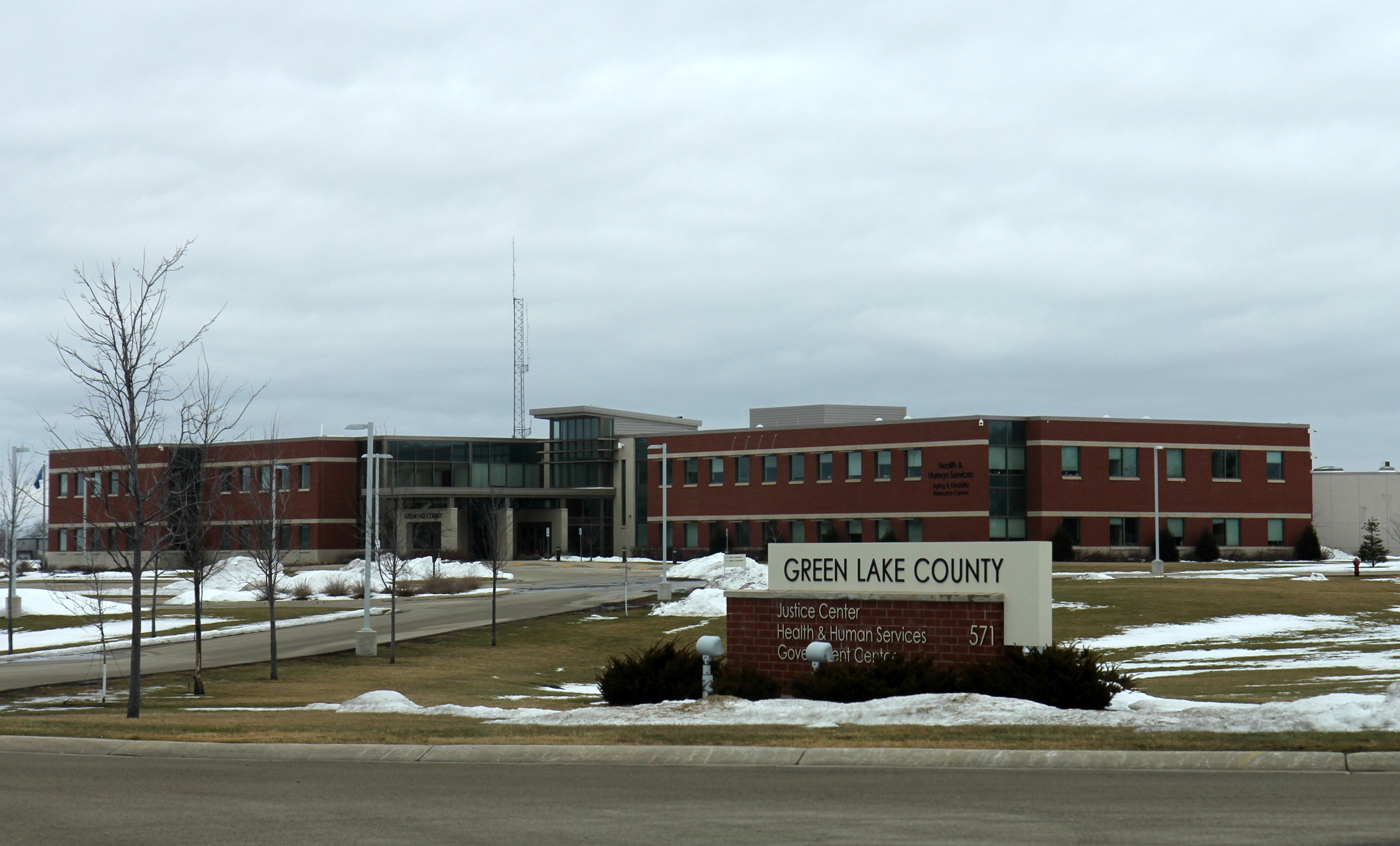
The Green Lake County Jail is located in the county seat city, Green Lake.
Education
School districts include:
- Berlin Area School District
- Cambria-Friesland School District
- Green Lake School District
- Markesan School District
- Montello School District
- Princeton School District
- Ripon Area School District
References
References
- "2020 Decennial Census: Green Lake County, Wisconsin". U.S. Census Bureau.
- "Green Lake County, Wisconsin".
- "Find a County". National Association of Counties.
- "Centers of Population by State, 2020". United States Census Bureau.
- (August 22, 2012). "2010 Census Gazetteer Files". United States Census Bureau.
- "U.S. Decennial Census". United States Census Bureau.
- "Historical Census Browser". University of Virginia Library.
- (March 27, 1995). "Population of Counties by Decennial Census: 1900 to 1990". United States Census Bureau.
- (April 2, 2001). "Census 2000 PHC-T-4. Ranking Tables for Counties: 1990 and 2000". United States Census Bureau.
- "State & County QuickFacts". United States Census Bureau.
- (2021). "2020 Decennial Census Redistricting Data (Public Law 94-171)".
- (2021). "2020 Decennial Census Demographic Profile (DP1)".
- (2023). "2020 Decennial Census Demographic and Housing Characteristics (DHC)".
- "U.S. Census website". [[United States Census Bureau]].
- "Annual Wisconsin Birth and Infant Mortality Report, 2017 P-01161-19 (June 2019): Detailed Tables".
- [https://www.dhs.wisconsin.gov/publications/p45360-17.pdf Reported Induced Abortions in Wisconsin], Office of Health Informatics, Division of Public Health, Wisconsin Department of Health Services. Section: Trend Information, 2013-2017, Table 18, pages 17-18
- [http://www.thearda.com/rcms2010/rcms2010A.asp?U=55047&T=county&Y=2010&S=Name thearda.com County Membership Report for Green Lake County], 2010 data
- Leip, David. "Dave Leip's Atlas of U.S. Presidential Elections".
- La Roche, Mariana. (December 11, 2024). "Authorities detail capture of Wisconsin kayaker who fled to Europe".
- "Sheriff - Corrections".
- Geography Division. (January 14, 2021). "2020 Census - School District Reference Map: Green Lake County, WI". [[U.S. Census Bureau]].
This article was imported from Wikipedia and is available under the Creative Commons Attribution-ShareAlike 4.0 License. Content has been adapted to SurfDoc format. Original contributors can be found on the article history page.
Ask Mako anything about Green Lake County, Wisconsin — get instant answers, deeper analysis, and related topics.
Research with MakoFree with your Surf account
Create a free account to save articles, ask Mako questions, and organize your research.
Sign up freeThis content may have been generated or modified by AI. CloudSurf Software LLC is not responsible for the accuracy, completeness, or reliability of AI-generated content. Always verify important information from primary sources.
Report