From Surf Wiki (app.surf) — the open knowledge base
Greater Antilles
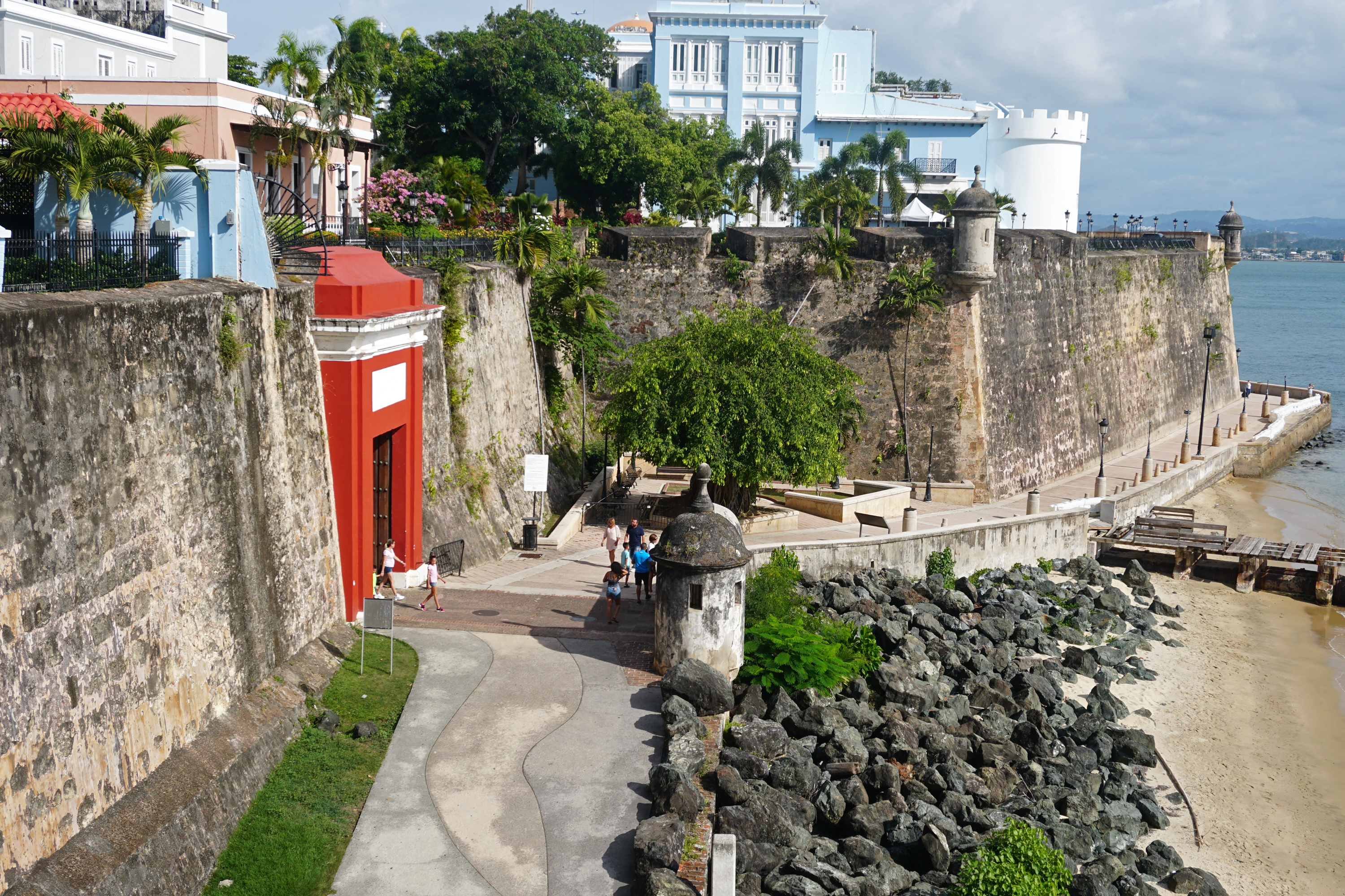
Group of Caribbean islands
.jpg)
Group of Caribbean islands
| Field | Value |
|---|---|
| official_name | Greater Antilles |
| fr | |
| ht | |
| es | |
| nickname | |
| image_map | Map of the Caribbean-Greater Antilles.png |
| mapsize | 250px |
| map_caption | Location within the Caribbean |
| image_map1 | PAT - Greater Antilles.gif |
| mapsize1 | 250 |
| map_caption1 | Map of the Greater Antilles |
| seat | Santo Domingo |
| seat_type | Largest city |
| subdivision_type | Region Caribbean |
| subdivision_type1 | Island states |
| subdivision_name1 | {{Collapsible list |
| title | 7 |
| settlement_type | Subregion of the Caribbean |
| unit_pref | |
| area_total_km2 | 207,411 |
| area_total_sq_mi | 80,081 |
| population_as_of | 2014 |
| population_total | 38,400500 |
| population_density_km2 | 171.45 |
| population_demonym | Greater Antillean |
| timezone1 | EST |
| utc_offset1 | −05:00 |
| timezone1_DST | EDT |
| utc_offset1_DST | −04:00 |
| timezone2 | AST |
| utc_offset2 | −04:00 |
| timezone2_DST | ADT |
| utc_offset2_DST | −03:00 |
fr ht es | Cayman Islands | Cuba | Dominican Republic | Haiti | Jamaica | Puerto Rico | Navassa Island
The Greater Antilles is a grouping of the larger islands in the Caribbean Sea, including Cuba, Hispaniola, Puerto Rico, and Jamaica, together with Navassa Island and the Cayman Islands. Seven island states share the region of the Greater Antilles, with Haiti and the Dominican Republic sharing the island of Hispaniola. Together with the Lesser Antilles, they make up the Antilles, which along with the Lucayan Archipelago form the West Indies in the Caribbean region of the Americas.
While most of the Greater Antilles consists of independent countries, Puerto Rico and Navassa Island are unincorporated territories of the United States, while the Cayman Islands are a British Overseas Territory. The largest island is Cuba, which extends to the western end of the island group. Puerto Rico lies on the eastern end, and the island of Hispaniola, the most populated island, is located in the middle. Jamaica lies to the south of Cuba, while the Cayman Islands are located to the southwest. The state of Florida is the closest point in the U.S. mainland to the Greater Antilles, while the Florida Keys, though not part of the Greater Antilles, is an island group north of Cuba.
Etymology
The word Antilles originated in the period before the European conquest of the New World. Europeans used the term Antillia as one of the mysterious lands featured on medieval charts, sometimes as an archipelago, sometimes as continuous land of greater or lesser extent, its location fluctuating mid-ocean between the Canary Islands and Eurasia.
History
The first European contact with the Greater Antilles came from Christopher Columbus' first voyage to the Americas, as he sailed south from the Bahamas, exploring the northeast coast of Cuba and northern coast of Hispaniola. The Spanish began to create permanent settlements on Cuba and Hispaniola. The Atlantic slave trade brought many Africans to the islands. France began to exert influence over Haiti from 1625, dividing Hispaniola into two halves. Neighbouring Jamaica was invaded by the British, defeating the Spanish colonists.
At the beginning of the 16th century, the Spanish began to colonize the island of Puerto Rico. Despite the Laws of Burgos of 1512 and other decrees protecting Indigenous populations, some Taíno people were forced into an encomienda system of forced labor in the early years of colonization.
The Haitian Revolution was the first and only successful anti-slavery and anti-colonial insurrection by self-liberated slaves; it established the independent nation of Haiti from France in 1804, the first and oldest black-led republic in the Americas as well as in the New World, the first in the Greater Antilles, the Caribbean, and Latin America as a whole. Haiti was also the second oldest independent nation in the Western Hemisphere after the United States.
The next nation to achieve independence, the Dominican Republic, was also on Hispaniola, declaring independence from Spain in 1821. It was quickly absorbed by Haiti under the unification of Hispaniola. The Dominican Republic gained independence from Haitian rule in 1844 after the Dominican War of Independence. The rest of the Greater Antilles would remain under colonial rule for another hundred years.
Along with the Philippines in Asia, Spain transferred possession of Cuba and Puerto Rico to the United States as a result of its loss in the Spanish-American War in 1898, coinciding with the Cuban War of Independence. This was the final loss of Spain's territorial possessions in the Americas. U.S. military rule over the island lasted until 1902, when Cuba was granted formal independence.

Geography

The Greater Antilles comprises four major islands and numerous smaller ones. The island of Cuba is the largest island in the Greater Antilles, in Latin America, and in the Caribbean. It is followed by Hispaniola. Geologically, the Virgin Islands are also part of the Greater Antilles, though politically they are considered part of the Lesser Antilles. With an area of 207411 km2, not counting the Virgin Islands, the Greater Antilles constitute nearly 90% of the land mass of the entire West Indies, as well as over 90% of its population.
The remainder of the land in the West Indies belongs to the archipelago of the Lesser Antilles, which is a chain of islands to the east, running north–south and encompassing the eastern edge of the Caribbean Sea where it meets the Atlantic Ocean, as well as to the south, running east–west off the northern coast of South America. The Lucayan Archipelago is not considered part of the Antilles archipelagos but rather of the North Atlantic.
The islands exist because of the relative motion of the Caribbean plate and surrounding plates. Obduction has scraped accumulated rock onto the North American plate, islands and intrusions have been formed by volcanism, and the local crust has become deformed in other ways.

Demographics

The Greater Antilles is considered part of Latin America. With a population of 38 million, it makes up 6% of Latin America's population. The capital of the Dominican Republic, Santo Domingo, with a population of over 2 million, is the largest city in the Greater Antilles. Other large cities include Havana, Port-au-Prince, Kingston and San Juan.
In 2018, the quality of life was similar in Cuba, the Dominican Republic and Jamaica, whose Human Development Index (HDI) categorized them as "high human development". Puerto Rico and the Cayman Islands are categorized as "very high". Haiti had the lowest HDI in the Greater Antilles and in all of the Americas, categorized as "Low human development".
Languages
The languages are mostly colonial languages, along with some Creole influence. Spanish is the main language in Cuba, the Dominican Republic and Puerto Rico. Haiti has a Creole language, Haitian Creole, as one of its official languages, alongside French. English is the main language in Jamaica and the Cayman Islands, though it is also an official language of Puerto Rico, where it is spoken as a second language. In Jamaica, a Creole language is spoken but carries no official recognition.
List of countries and dependencies
| Name | Area | |||||
|---|---|---|---|---|---|---|
| (km2) | Population | |||||
| (2017) | Population density | |||||
| (per km2) | Capital | Official language | Total | |||
| Cayman Islands (UK) | 207.9 | George Town | English | |||
| Cuba | 102.4 | Havana | Spanish | |||
| Dominican Republic | 183.7 | Santo Domingo | Spanish | |||
| Haiti | 292.7 | Port-au-Prince | Haitian Creole, French | |||
| Jamaica | 248.6 | Kingston | English | |||
| Puerto Rico (US) | 430.2 | San Juan | Spanish, English | |||
| 169.05 |
References
References
- ({{langx. es. Antillas Mayores; {{langx. fr. Grandes Antilles; {{langx. ht. Gwo Zantiy; {{langx. jam. Grieta hAntiliiz)
- "Haiti {{!}} History, Geography, & Culture".
- "Cuba Marks 50 Years Since 'Triumphant Revolution'".
- "Greater Antilles".
- "Human Development Report 2018 – "Human Development Indices and Indicators"" (PDF). [[Human Development Report. HDRO (Human Development Report Office)]] [[United Nations Development Programme]]. pp. 22–25. Retrieved 14 September 2018.
- "Human Development Report 2018 – "Human Development Indices and Indicators"" (PDF). [[Human Development Report. HDRO (Human Development Report Office)]] [[United Nations Development Programme]]. pp. 22–25. Retrieved 14 September 2018.
This article was imported from Wikipedia and is available under the Creative Commons Attribution-ShareAlike 4.0 License. Content has been adapted to SurfDoc format. Original contributors can be found on the article history page.
Ask Mako anything about Greater Antilles — get instant answers, deeper analysis, and related topics.
Research with MakoFree with your Surf account
Create a free account to save articles, ask Mako questions, and organize your research.
Sign up freeThis content may have been generated or modified by AI. CloudSurf Software LLC is not responsible for the accuracy, completeness, or reliability of AI-generated content. Always verify important information from primary sources.
Report