From Surf Wiki (app.surf) — the open knowledge base
Granite Falls, Minnesota
City in Minnesota, United States
City in Minnesota, United States
| Field | Value | |
|---|---|---|
| name | Granite Falls | |
| settlement_type | City | |
| motto | ||
| image_skyline | Granite Falls Minnesota.jpg | |
| imagesize | 250px | |
| image_caption | Prentice Street in downtown Granite Falls | |
| image_seal | ||
| image_map | Yellow Medicine County Minnesota Incorporated and Unincorporated areas Granite Falls Highlighted.svg | |
| mapsize | 250px | |
| map_caption | Location of Granite Falls | |
| within Yellow Medicine County, Minnesota | ||
| map_caption1 | ||
| subdivision_type | Country | |
| subdivision_name | United States | |
| subdivision_type1 | State | |
| subdivision_name1 | Minnesota | |
| subdivision_type2 | Counties | |
| subdivision_name2 | Chippewa, Yellow Medicine | |
| leader_title | Mayor | |
| leader_name | Steve Nordaune | |
| established_title | village | |
| established_date | 1879 | |
| established_title1 | incorporated | |
| established_date1 | April 24, 1889 | |
| <!-- Area -----------------> | unit_pref | Imperial |
| area_footnotes | ||
| area_total_km2 | 9.66 | |
| area_land_km2 | 9.05 | |
| area_water_km2 | 0.61 | |
| area_total_sq_mi | 3.73 | |
| area_land_sq_mi | 3.49 | |
| area_water_sq_mi | 0.24 | |
| <!-- Population -----------> | population_as_of | 2020 |
| population_est | 2713 | |
| pop_est_as_of | 2021 | |
| pop_est_footnotes | ||
| population_footnotes | ||
| population_total | 2737 | |
| population_density_km2 | 302.48 | |
| population_density_sq_mi | 783.34 | |
| <!-- General information --> | timezone | CST |
| utc_offset | -6 | |
| timezone_DST | CDT | |
| utc_offset_DST | -5 | |
| elevation_footnotes | ||
| elevation_ft | 906 | |
| coordinates | ||
| postal_code_type | ZIP code | |
| postal_code | 56241 | |
| area_code | 320 | |
| blank_name | FIPS code | |
| blank_info | 27-25280 | |
| blank1_name | GNIS feature ID | |
| blank1_info | 2394962 | |
| website |
within Yellow Medicine County, Minnesota
Granite Falls is a city located mostly in Yellow Medicine County, Minnesota, of which it is the county seat with a small portion in Chippewa County, Minnesota. The population was 2,737 at the 2020 census.The Andrew John Volstead House, a National Historic Landmark (NHL), is located in Granite Falls. Another NHL located in Granite Falls is the Julian A. Weaver House.
History
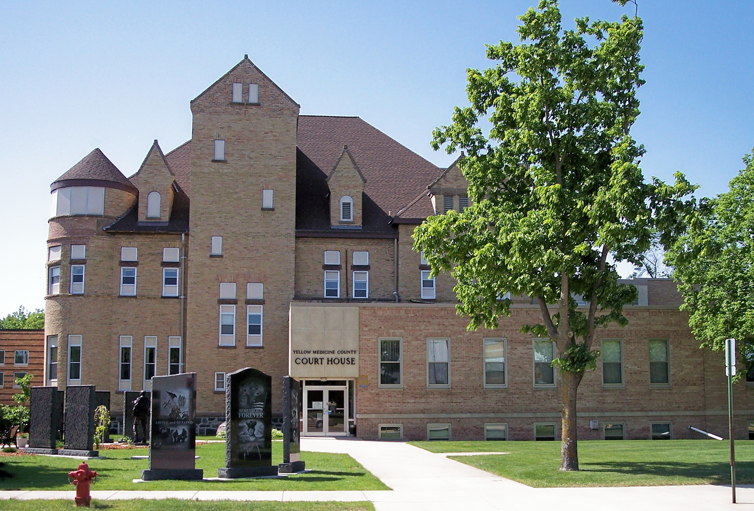
In 1870 a post office began operating at Granite Falls. The town was platted in 1872 and named for deposits of granite rock in the area. In 1874 the county seat was moved to Granite Falls and a small one courtroom courthouse was erected. In 1876 the Norwegian Evangelical Lutheran Congregation was formed and a church was built. Granite Falls was incorporated as a city in 1879 with East Granite Falls joining in 1889. The existing county courthouse was erected in 1880. In 1888 the Chicago, Milwaukee and St. Paul Railroad built the town train station that still stands. The rail line remains active as a short line operated by the Twin Cities and Western Railroad (TC&W).
A grain elevator was built along the rail lines that today exists as the Farmers Co-Op elevator. In 2005 Granite Falls Energy LLC began producing Corn ethanol and extract Corn oil at their newly constructed plant.
2000 tornado
On July 25, 2000, the city of Granite Falls and Yellow Medicine County were hit by a powerful tornado. The tornado first touched down in rural parts of the county west-northwest of Granite Falls, hitting the city at 6:10 pm. After tearing through the residential sections of town, the tornado lifted at approximately 6:25PM after being on the ground for over nine miles. One person was killed, more than a dozen were injured, and the town and surrounding area suffered millions of dollars in property damage. Most of the damage in Granite Falls was rated F2 and F3, but the extent of the damage at the corner of 9th Avenue and 14th Street caused the National Weather Service to classify it as an F4 tornado.
Geography
According to the United States Census Bureau, the city has a total area of 3.82 sqmi, of which 3.59 sqmi is land and 0.23 sqmi is water.
U.S. Highway 212 and Minnesota State Highways 23 and 67 are three of the main routes in the city.
Climate
Granite Falls, along with the rest of Minnesota, has a humid continental climate with significant differences between seasons. With a July mean temperature of 22.2 C Granite Falls just falls into the hot-summer zone of the Köppen classification of the humid continental climate regime. Winters are cold and dry influenced by arctic air masses affecting it through its continental position, while summers are influenced by humid subtropical air masses bringing hot temperatures and significant rainfall. Transitional periods are very short, since only April and October are between 0 C and 10 C in daily mean temperatures, with May–September being clearly above and November–March averaging below freezing. The middle three months in each of those cycles are also clearly warmer and colder, respectively, than the months at the beginning or at the end of transitional periods. That is in turn a typical feature of continental climates.
|Jan record high F = 62 |Feb record high F = 66 |Mar record high F = 83 |Apr record high F = 94 |May record high F = 99 |Jun record high F = 104 |Jul record high F = 104 |Aug record high F = 102 |Sep record high F = 105 |Oct record high F = 97 |Nov record high F = 84 |Dec record high F = 59
|Jan avg record high F = 45.3 |Feb avg record high F = 46.7 |Mar avg record high F = 66.9 |Apr avg record high F = 82.6 |May avg record high F = 92.8 |Jun avg record high F = 94.2 |Jul avg record high F = 95.4 |Aug avg record high F = 93.4 |Sep avg record high F = 91.4 |Oct avg record high F = 82.6 |Nov avg record high F = 66.6 |Dec avg record high F = 48.2 |year avg record high F = 98.2
|Jan avg record low F = -22.9 |Feb avg record low F = -16.6 |Mar avg record low F = -8.2 |Apr avg record low F = 16.2 |May avg record low F = 30.3 |Jun avg record low F = 43.6 |Jul avg record low F = 49.0 |Aug avg record low F = 45.6 |Sep avg record low F = 33.5 |Oct avg record low F = 19.3 |Nov avg record low F = 2.9 |Dec avg record low F = -15.4 |year avg record low F = -25.1
|Jan record low F = -36 |Feb record low F = -33 |Mar record low F = -22 |Apr record low F = -1 |May record low F = 25 |Jun record low F = 34 |Jul record low F = 36 |Aug record low F = 34 |Sep record low F = 20 |Oct record low F = 6 |Nov record low F = -16 |Dec record low F = -32
|access-date = May 13, 2023 |access-date = May 13, 2023
Demographics
|align-fn=center 2020 Census
2010 census
As of the census of 2010, there were 2,897 people in 1,282 households, including 747 families, in the city. The population density was 807.0 PD/sqmi. There were 1,417 housing units at an average density of 394.7 /sqmi. The racial makup of the city was 89.9% White, 0.6% African American, 5.2% Native American, 0.4% Asian, 1.8% from other races, and 2.1% from two or more races. Hispanic or Latino of any race were 4.7%.
Of the 1,282 households 25.7% had children under the age of 18 living with them, 44.1% were married couples living together, 10.1% had a female householder with no husband present, 4.1% had a male householder with no wife present, and 41.7% were non-families. 37.2% of households were one person and 17.2% were one person aged 65 or older. The average household size was 2.17 and the average family size was 2.82.
The median age was 43 years. 21.5% of residents were under the age of 18; 8.8% were between the ages of 18 and 24; 22.3% were from 25 to 44; 26.9% were from 45 to 64; and 20.7% were 65 or older. The gender makeup of the city was 48.4% male and 51.6% female.
2000 census
As of the census of 2000, there were 3,070 people in 1,344 households, including 806 families, in the city. The population density was 890.5 PD/sqmi. There were 1,472 housing units at an average density of 427.0 /sqmi. The racial makup of the city was 92.35% White, 0.07% African American, 5.70% Native American, 0.16% Asian, 0.42% from other races, and 1.30% from two or more races. Hispanic or Latino of any race were 2.15%.
Of the 1,344 households 27.7% had children under the age of 18 living with them, 50.5% were married couples living together, 7.7% had a female householder with no husband present, and 40.0% were non-families. 35.0% of households were one person and 18.5% were one person aged 65 or older. The average household size was 2.24 and the average family size was 2.91.
The age distribution was 24.1% under the age of 18, 7.9% from 18 to 24, 24.1% from 25 to 44, 22.0% from 45 to 64, and 21.8% 65 or older. The median age was 41 years. For every 100 females, there were 86.1 males. For every 100 females age 18 and over, there were 81.2 males.
The median household income was $32,031 and the median family income was $45,536. Males had a median income of $32,905 versus $22,957 for females. The per capita income for the city was $18,356. About 6.6% of families and 9.7% of the population were below the poverty line, including 6.8% of those under age 18 and 10.6% of those age 65 or over.
Government
| Year | Republican | Democratic | Third parties |
|---|---|---|---|
| 2020 | 52.8% 524 | 45.2% 420 | 2.0% 30 |
| 2016 | 50.0% 706 | 41.7% 589 | 8.3% 117 |
| 2012 | 40.6% 605 | 57.4% 856 | 2.0% 30 |
| 2008 | 38.1% 590 | 59.7% 926 | 2.2% 34 |
| 2004 | 38.4% 606 | 60.4% 953 | 1.2% 20 |
| 2000 | 37.1% 556 | 55.9% 838 | 7.0% 104 |
| 1996 | 25.5% 360 | 62.3% 880 | 12.2% 173 |
| 1992 | 24.9% 392 | 51.7% 815 | 23.4% 370 |
| 1988 | 45.9% 693 | 54.1% 817 | 0.0% 0 |
| 1984 | 52.6% 870 | 47.4% 783 | 0.0% 0 |
| 1980 | 48.9% 878 | 41.8% 750 | 9.3% 166 |
| 1976 | 40.6% 732 | 57.4% 1,036 | 2.0% 36 |
| 1972 | 54.6% 934 | 43.5% 744 | 1.9% 33 |
| 1968 | 41.5% 647 | 52.8% 923 | 5.7% 89 |
| 1964 | 42.7% 713 | 57.2% 955 | 0.1% 3 |
| 1960 | 56.6% 776 | 43.0% 590 | 0.4% 6 |
Media
KWCM is a PBS television station located in Granite Falls.
Infrastructure
Transportation
- [[Image:US_212.svg|20px]] United States Highway 212
- [[Image:MN-23.svg|20px]] Minnesota State Highway 23
- [[Image:MN-67.svg|20px]] Minnesota State Highway 67
References
References
- "2020 U.S. Gazetteer Files". United States Census Bureau.
- "U.S. Census website". [[United States Census Bureau]].
- {{GNIS. 2394962
- "Explore Census Data". [[United States Census Bureau]].
- "Find a County". National Association of Counties.
- Granger, Susan. (1985). "Julian A. Weaver House, Granite Falls MInnesota". Minnesota Historical Society.
- "Yellow Medicine County". Jim Forte Postal History.
- Upham, Warren. (1920). "Minnesota Geographic Names: Their Origin and Historic Significance". Minnesota Historical Society.
- Gannett, Henry. (1905). "The Origin of Certain Place Names in the United States". Govt. Print. Off..
- "Granite Falls Tornado: July 25, 2000 - Minnesota DNR".
- "US Gazetteer files 2010". [[United States Census Bureau]].
- "Granite Falls, Minnesota Climate Summary". Weatherbase.
- "Granite Falls, Minnesota Temperature Averages". Weatherbase.
- (July 4, 2022). "City and Town Population Totals: 2020-2021". United States Census Bureau.
- United States Census Bureau. "Census of Population and Housing".
- "Census of Population and Housing". Census.gov.
- "U.S. Census website". [[United States Census Bureau]].
- "Office of the Minnesota Secretary of State - Election Results".
This article was imported from Wikipedia and is available under the Creative Commons Attribution-ShareAlike 4.0 License. Content has been adapted to SurfDoc format. Original contributors can be found on the article history page.
Ask Mako anything about Granite Falls, Minnesota — get instant answers, deeper analysis, and related topics.
Research with MakoFree with your Surf account
Create a free account to save articles, ask Mako questions, and organize your research.
Sign up freeThis content may have been generated or modified by AI. CloudSurf Software LLC is not responsible for the accuracy, completeness, or reliability of AI-generated content. Always verify important information from primary sources.
Report