From Surf Wiki (app.surf) — the open knowledge base
Golpayegan
City in Isfahan province, Iran
City in Isfahan province, Iran
| Field | Value |
|---|---|
| official_name | Golpayegan |
| native_name | |
| settlement_type | City |
| image_skyline | Golpayegan.petroglyphs0101.jpg |
| image_caption | Khomeyn rock art |
| pushpin_map | Iran |
| subdivision_type | Country |
| subdivision_name | Iran |
| subdivision_type1 | Province |
| subdivision_name1 | Isfahan |
| subdivision_type2 | County |
| subdivision_name2 | Golpayegan |
| subdivision_type3 | District |
| subdivision_name3 | Central |
| population_as_of | 2016 |
| population_footnotes | |
| population_total | 58936 |
| population_density_km2 | auto |
| timezone | IRST |
| utc_offset | +3:30 |
| coordinates | |
| coordinates_footnotes | |
| elevation_m | 1830 |
| website | |
| area_code | 031 |
Golpayegan () is a city in the Central District of Golpayegan County, Isfahan, Iran, serving as capital of both the county and the district. The city is 186 km northwest of Isfahan and 102 km southeast of Arak, at an altitude of 1,830 m. Its temperature fluctuates between +37 and -10 °C. Its average annual rainfall is 300 mm.
History
According to Ḥamd-Allāh Mostawfi, the town of Golpāyegān was built by the daughter of Bahman, named Samra, also known as Homāy Bente Bahman in Persian.
After Parsadan Gorgijanidze was dismissed from his post as prefect (darugheh) of Isfahan, he was appointed as the new eshik-agha (Master of Ceremonies) and given five villages in the confines of Golpayegan as a fief by king (shah) Abbas II (r. 1642-1666). Historically, the name of the town has been recorded as Karbāyagān; Jarbāḏaqān; Darbāyagān; and Golbādagān. Golpayegan Kebab is unique and made from endemic cows, it is registered in Iranian intangible heritage list.
Demographics
Population
At the time of the 2006 National Census, the city's population was 47,849 in 14,263 households. The following census in 2011 counted 54,572 people in 17,411 households. The 2016 census measured the population of the city as 58,936 people in 19,546 households.
Geography
Location
Golpayegan is located in the center of Iran, 156 km northwest of Isfahan. Golpayegan is located in the north of Khomein and is adjacent to Khansar from the south, Aligudars from the west, and Memeh from the east. Its people speak Persian and the Golpayegani dialect. Most of the inhabitants are engaged in agriculture and animal husbandry.
Climate
Golpayegan has a cold semi-arid climate (Köppen BSk).
| Jan dew point C =-6.0 | Feb dew point C =-6.3 | Mar dew point C =-4.3 | Apr dew point C =-0.2 | May dew point C =1.6 | Jun dew point C =1.9 | Jul dew point C =4.4 | Aug dew point C =3.1 | Sep dew point C =0.4 | Oct dew point C =-0.7 | Nov dew point C =-2.2 | Dec dew point C =-3.6
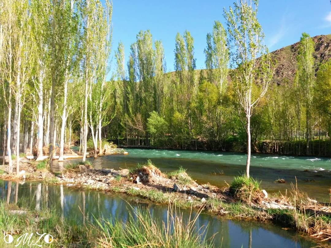
Historical monuments
.jpg)
Several historical monuments are located in the Jāme' mosque of Golpayegan (, "The Congregational Mosque"), a minaret (Manār) from the Seljuk period, the Sarāvar mosque from the 15th-16th centuries, as well as the Hevdah Tan shrine from the 17th century, Gouged Stronghold, the stronghold was used as a caravansary, but during war time or when bandits attacked, it was used as a castle.
Notes
References
Sources
References
- ((OpenStreetMap contributors)). (28 November 2024). "Golpayegan, Golpayegan County".
- {{GEOnet3. -3064684
- (Eṣṭaḵri, p. 198, n. c);
- Moqaddasi, p. 402;
- (Abu’l-Fedā, Taqwim, p. 419;
- (Nozhat al-qolub, ed. Le Strange, p. 68).
- Habibi, Hassan. (c. 2024). "Approval of the organization and chain of citizenship of the elements and units of the national divisions of Isfahan province, centered in the city of Isfahan". Ministry of the Interior, Defense Political Commission of the Government Board.
- (Wezārat-e defāʿ, pp. 218-19; Wezārat-e rāh wa tarābari, pp. 119-20).
- (p. 95) and Qāżi Aḥmad Ḡaffāri (p. 30),
- Minu Yusofnezhad, "GOLPĀYAGĀN", Encyclopaedia Iranica [http://www.iranicaonline.org/articles/golpayagan] {{Webarchive. link. (2012-11-17)
- "بوی کباب گلپایگان هزاران گردشگران را جذب کرد - ایسنا".
- (2019-06-27). "کباب گلپایگان در فهرست میراث ناملموس ثبت شد".
- "Census of the Islamic Republic of Iran, 1385 (2006): Isfahan Province". The Statistical Center of Iran.
- "Census of the Islamic Republic of Iran, 1390 (2011): Isfahan Province". The Statistical Center of Iran.
- "Census of the Islamic Republic of Iran, 1395 (2016): Isfahan Province". The Statistical Center of Iran.
- s.r.o, Tripomatic. "Golpayegan in Isfahan, Iran".
- "AVERAGE OF MEAN DAILY TEMPERATURE IN C. STATION: GOLPAIGAN (99417)". Iran Meteorological Organization.
- "AVERAGE OF MINIMUM TEMPERATURE IN C. STATION: GOLPAIGAN (99417)". Iran Meteorological Organization.
- "AVERAGE OF DEW POINT TEMPERATURE IN C. STATION: GOLPAIGAN (99417)". Iran Meteorological Organization.
- "Average of Relative Humidity in percent STATION: GOLPAIGAN (99417)". Iran Meteorological Organization.
- "Monthly Total of Precipitation in mm. STATION: GOLPAIGAN (99417)". Iran Meteorological Organization.
- "NO. OF DAYS WITH SNOW OR SLEET STATION: GOLPAIGAN (99417)". Iran Meteorological Organization.
- (Meškāti, pp. 64-67; Rafiʿi Mehrābādi, pp. 895-96, 898-901).
This article was imported from Wikipedia and is available under the Creative Commons Attribution-ShareAlike 4.0 License. Content has been adapted to SurfDoc format. Original contributors can be found on the article history page.
Ask Mako anything about Golpayegan — get instant answers, deeper analysis, and related topics.
Research with MakoFree with your Surf account
Create a free account to save articles, ask Mako questions, and organize your research.
Sign up freeThis content may have been generated or modified by AI. CloudSurf Software LLC is not responsible for the accuracy, completeness, or reliability of AI-generated content. Always verify important information from primary sources.
Report