From Surf Wiki (app.surf) — the open knowledge base
Garran, Australian Capital Territory

| Field | Value |
|---|---|
| type | suburb |
| name | Garran |
| state | act |
| city | Canberra |
| image | GarranShops.JPG |
| caption | Garran local shops |
| lga | Woden Valley |
| postcode | 2605 |
| est | 1966 |
| elevation | 620 |
| area | 2.7 |
| pop | 3,706 |
| pop_year | |
| pop_footnotes | |
| alternative_location_map | Australia ACT districted Canberra |
| pushpin_map_caption | Location in Canberra |
| coordinates | |
| stategov | Murrumbidgee |
| fedgov | Canberra |
| dist1 | 10 |
| dir1 | S |
| location1 | Canberra CBD |
| dist2 | 14 |
| dir2 | W |
| location2 | Queanbeyan |
| dist3 | 101 |
| dir3 | SW |
| location3 | Goulburn |
| dist4 | 298 |
| dir4 | SW |
| location4 | Sydney |
| near-nw | Hughes |
| near-n | Red Hill |
| near-ne | Red Hill |
| near-e | Red Hill |
| near-w | Phillip |
| near-sw | Phillip |
| near-s | O'Malley |
| near-se | Symonston |
| near-nw = Hughes | near-n = Red Hill | near-ne = Red Hill | near-e = Red Hill | near-w = Phillip | near-sw = Phillip | near-s = O'Malley | near-se = Symonston
Garran is a suburb in the Woden district of Canberra in the Australian Capital Territory. Garran was named after Sir Robert Garran who made numerous contributions to the development of higher education in Canberra. The streets in Garran are named after Australian writers. The suburb was first developed in 1966 and has an area of 2.74 km2.
Demographics
At the , Garran had a population of 3,706 people. 61.9% of people were born in Australia. The next most common countries of birth were India (6.8%) and England (3.9%). 66.8% of people spoke only English at home. Other languages spoken at home included Mandarin (3.0%), Telugu (2.5%) and Malayalam (2.3%). The most common responses for religion were No Religion (38.5%) and Catholic (21.5%).
Geology
Garran contains volcanic materials from the Silurian Age. Deakin volcanics purple and green tuff is under the Canberra hospital, around Ingamells Street in the north and the base of Davidson Hill. Deakin Volcanics coarse dark purple rhyodacite is under Fitchett Street and Couvreur Street areas. Deakin Volcanics green grey and purple rhyodacite is in the centre and south of Garran.
Suburb amenities
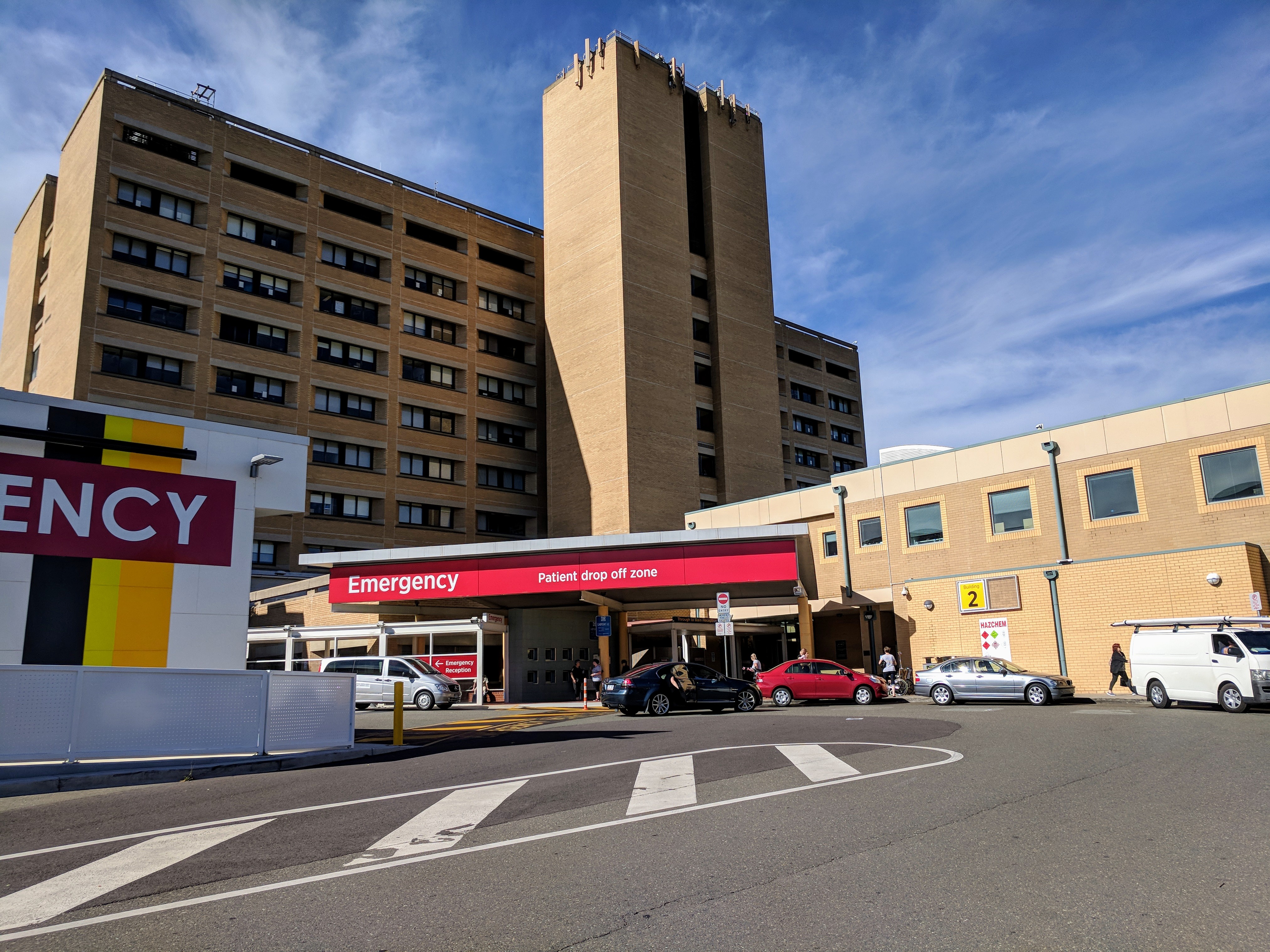
The Canberra Hospital is located in Garran. The suburb also contains three primary schools: a government school, Garran Primary; a special school for the intellectually disabled, Malkara School and a Catholic school, Sts. Peter & Paul Primary School.
References
References
- {{Census 2021 AUS
- "Suburb Name search results". ACT Environment and Sustainable Development.
- (1980). "Geology of Canberra, Queanbeyan and Environs".
- [http://www.garranps.act.edu.au/ Garran Primary website]
- [http://www.malkara.act.edu.au/ Malkara School website]
- [http://www.spandp.cg.catholic.edu.au/ Saints Peter and Paul Primary website] {{webarchive. link. (2 February 2006 ?)
This article was imported from Wikipedia and is available under the Creative Commons Attribution-ShareAlike 4.0 License. Content has been adapted to SurfDoc format. Original contributors can be found on the article history page.
Ask Mako anything about Garran, Australian Capital Territory — get instant answers, deeper analysis, and related topics.
Research with MakoFree with your Surf account
Create a free account to save articles, ask Mako questions, and organize your research.
Sign up freeThis content may have been generated or modified by AI. CloudSurf Software LLC is not responsible for the accuracy, completeness, or reliability of AI-generated content. Always verify important information from primary sources.
Report