From Surf Wiki (app.surf) — the open knowledge base
Gajulamandyam
| Field | Value |
|---|---|
| name | Gajulamandyam |
| native_name_lang | te |
| settlement_type | Neighbourhood of Tirupati |
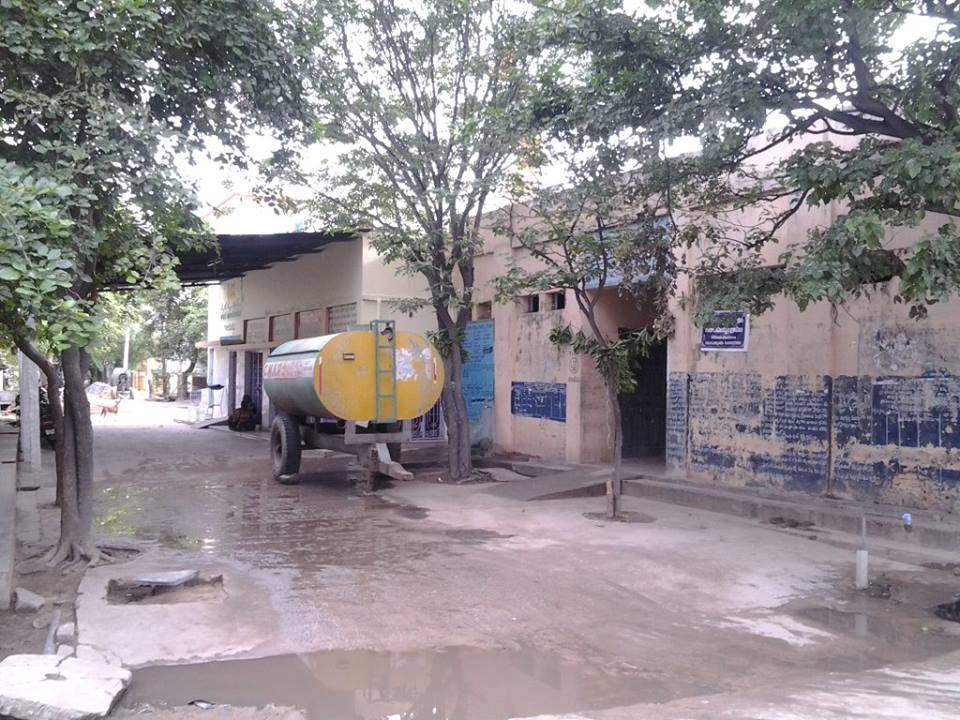
| image_skyline | File:Gajulamandyam village view from west.jpg |
| image_caption | Gajulamandyam view from west |
| pushpin_map | India Andhra Pradesh |
| pushpin_label_position | right |
| pushpin_map_caption | Location in Andhra Pradesh, India |
| coordinates | |
| subdivision_type | Country |
| subdivision_name | India |
| subdivision_type1 | State |
| subdivision_name1 | Andhra Pradesh |
| subdivision_type2 | District |
| subdivision_name2 | Tirupati district |
| subdivision_type3 | City |
| subdivision_name3 | Tirupati |
| established_title | |
| unit_pref | Metric |
| area_footnotes | |
| area_total_km2 | 9.93 |
| population_total | 5042 |
| population_as_of | 2011 |
| population_density_km2 | auto |
| population_footnotes | |
| demographics_type1 | Languages |
| demographics1_title1 | Official |
| demographics1_info1 | Telugu |
| timezone1 | IST |
| utc_offset1 | +5:30 |
| postal_code_type | PIN |
Gajulamandyam is a neighbourhood and suburb of Tirupati. It is located in Tirupati district of the Indian state of Andhra Pradesh. It falls in the jurisdictional limit of Tirupati Urban Development Authority. It is a part of Tirupati urban agglomeration and located in Renigunta mandal of Tirupati revenue division.
Geography
Gajulamandyam is located at . It is spread over an area of 9.93 km2.
Demographics
census, Gajulamandyam had a population of 5,042. The total population constitute, 2,558 males and 2,484 females —a sex ratio of 971 females per 1000 males. 486 children are in the age group of 0–6 years, of which 250 are boys and 236 are girls. The average literacy rate stands at 76.98% with 3,507 literates, significantly higher than the state average of 67.41%.
Government and politics
Gajulamandyam gram panchayat is the local self-government. The gram panchayat is divided into wards and each ward is represented by an elected Ward member, also referred as Panchs. The elected members of the gram panchayat is headed by the president known as Sarpanch. The tenure of all the elected representatives is five for years. While, Secretary of the panchayat is a non elected representative, appointed by the Government of Andhra Pradesh to oversee panchayat activities.
References
References
- "District Census Handbook – Chittoor". The Registrar General & Census Commissioner.
- "Census 2011". The Registrar General & Census Commissioner, India.
- "Mandal wise list of villages". National Informatics Centre.
- "Literacy of AP (Census 2011)". Official Portal of Andhra Pradesh Government.
- "Gajulamandyam Village Panchayat".
- Seetharam, Mukkavilli. (1990-01-01). "Citizen Participation in Rural Development". Mittal Publications.
- (May 2024). "Social Science". Vk Publications.
This article was imported from Wikipedia and is available under the Creative Commons Attribution-ShareAlike 4.0 License. Content has been adapted to SurfDoc format. Original contributors can be found on the article history page.
Ask Mako anything about Gajulamandyam — get instant answers, deeper analysis, and related topics.
Research with MakoFree with your Surf account
Create a free account to save articles, ask Mako questions, and organize your research.
Sign up freeThis content may have been generated or modified by AI. CloudSurf Software LLC is not responsible for the accuracy, completeness, or reliability of AI-generated content. Always verify important information from primary sources.
Report