From Surf Wiki (app.surf) — the open knowledge base
Fyksesund
Fjord in Vestland, Norway
Fjord in Vestland, Norway
| Field | Value |
|---|---|
| name | Fyksesund |
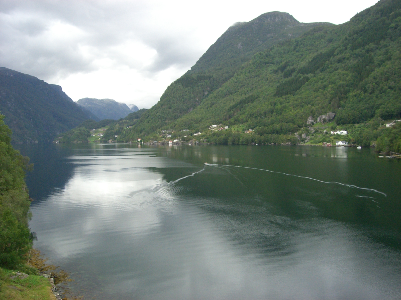
| image | Fyksesundbrua.jpg |
| caption | View of the fjord and bridge |
| location | Vestland county, Norway |
| mapframe | yes |
| mapframe-zoom | 10 |
| basin_countries | Norway |
| coords | |
| type | Fjord |
| outflow | Hardangerfjorden |
| length | 11 km |
|mapframe-zoom = 10 |max-depth =
Fyksesund () is a fjord in Kvam Municipality in Vestland county, Norway. The 11 km long fjord is a branch off of the main Hardangerfjorden. It sits between the villages of Øystese and Ålvik, and it is surrounded by the Fyksesund Landscape Park. The fjord is spanned by the Fyksesund Bridge, which was opened by Crown Prince Olav in 1937.
References
References
- "Informasjon om stadnamn". [[Norwegian Mapping Authority.
- (1915-09-30). "Scandinavian News: Torfin water falls". The Cook County News-Herald.
- (2003). "Hardanger Fjord". Encyclopædia Britannica.
- Rødland, Kjartan. (February 13, 2009). "Klave og ku, tunnel og bru". Bergens Tidende.
- {{Cite SNL. Fyksesund. Fyksesund. 2026-01-03. Thorsnæs. Geir. 2024-11-26
This article was imported from Wikipedia and is available under the Creative Commons Attribution-ShareAlike 4.0 License. Content has been adapted to SurfDoc format. Original contributors can be found on the article history page.
Ask Mako anything about Fyksesund — get instant answers, deeper analysis, and related topics.
Research with MakoFree with your Surf account
Create a free account to save articles, ask Mako questions, and organize your research.
Sign up freeThis content may have been generated or modified by AI. CloudSurf Software LLC is not responsible for the accuracy, completeness, or reliability of AI-generated content. Always verify important information from primary sources.
Report