From Surf Wiki (app.surf) — the open knowledge base
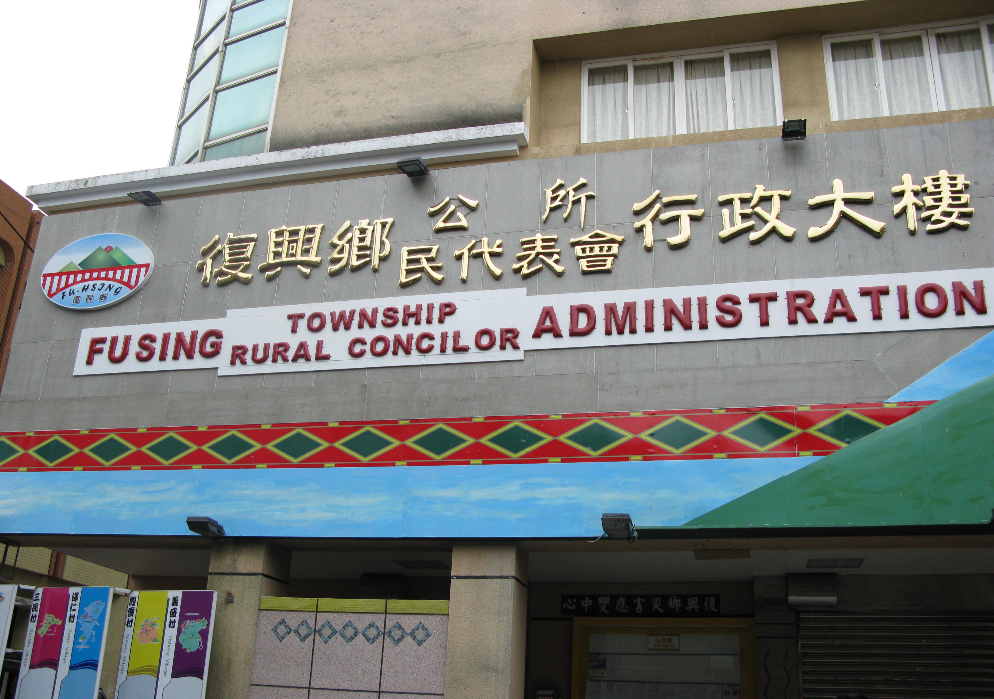
Fuxing District, Taoyuan
Mountain indigenous district in Taoyuan City, Taiwan
Mountain indigenous district in Taoyuan City, Taiwan
| Field | Value |
|---|---|
| name | Fuxing |
| official_name | Fuxing District |
| native_name | 復興區 |
| other_name | Fusing |
| settlement_type | Mountain Indigenous District |
| image_skyline | Luofu Village and Luofu Bridge 20090725b.jpg |
| imagesize | 250px |
| image_map | Taoyuan-Fuxing.svg |
| coordinates | |
| map_caption | Fuxing District in Taoyuan City |
| subdivision_type | Country |
| subdivision_name | Taiwan |
| subdivision_type1 | Municipality |
| subdivision_name1 | Taoyuan City |
| p1 | 10 villages |
| government_type | District government |
| leader_title | District chief |
| leader_name | Fan Cheng-hsin |
| leader_party | Independent |
| area_total_km2 | 350.78 |
| population_total | 13089 |
| population_as_of | March 2023 |
| website |
Fuxing District (Atayal: Pyasan; ), formerly known as Fuxing Township or Fu-Hsing Township () is a mountain indigenous district in eastern Taoyuan City, Taiwan. The main population is the Atayal people of the Taiwanese aborigines. Lala Mountain (拉拉山) is a major feature of Fuxing, and the Shimen Reservoir, formed by Shimen Dam, is a popular nearby site. Fuxing District is, by area, the largest district in Taoyuan City.
History
Under Japanese rule, Fuxing District was classified as Aboriginal Land (蕃地).
In August 2015, the Heliu community in the district were completely buried by landslide triggered by Typhoon Soudelor.
Geography
- Area: 350.78 km2 (135.4 sq mi)
- Population: 13,089 people (March 2023)
Administrative divisions
Gaoyi, Hualing, Kuihui, Luofu, Sanguang, Sanmin, Xiayun, Yicheng, Zeren and Zhangxing Village.
Mountains over 1500 metres
- Najieshan 那結山, 1,520 m (4,987 ft)
- Mawangzenglüshan 馬望曾呂山, 1,577 m (5,174 ft)
- Niaozuishan 鳥嘴山, 1,749 m (5,738 ft)
- Xingjianshan 興尖山, 1,852 m (6,076 ft)
- Fufushan 夫婦山, 1,870 m (6,135 ft)
- Meiguiximoshan 玫瑰西魔山, 1,871 m (6,138 ft)
- Lengshan 稜山, 1,889 m (6,198 ft)
- Lupeishan 魯培山, 1,905 m (6,250 ft)
- Nanchatianshan 南插天山, 1,907 m (6,257 ft)
- Lidongshan 李棟山, 1,914 m (6,280 ft)
- Lalashan 拉拉山, 2,030 m (6,660 ft)
- Tangsuishan 唐穗山, 2,090 m (6,280 ft)
- Babokulushan 巴博庫魯山, 2,101 m (6,893 ft)
- Tamanshan 塔曼山, 2,130 m (6,988 ft)
- Dilushan 低陸山, 2,160 m (7,087 ft)
- Yufengshan 玉峰山, 2,300 m (7,546 ft)
- Xiqiusishan 西丘斯山, 2,427 m (7,963 ft)
- Baideshan 白的山, 2,444 m (8,018 ft)
Northern Cross-Island Highway Hiking Trails
- 12.1 km (7.5 mi) Sanmin Bat Cave...
- 16.3 km (10.1 mi) Jiaobanshan, Jinpingshan...
- 17.7 km (11 mi) Dongyanshan, Zhijishan...
- 20.7 km (12.9 mi) Xiao Wulai Hewei Ancient Trees, Beichatianshan, Nanchatianshan, Lupaishan, Daishifushan...
- 22.7 km (14.1 mi) Luofu Roma Rd.
- 28.2 km (17.5 mi) Dawan Najieshan...
- 31.1 km (19.3 mi) Xuewu Tunnel Fufushan...
- 39.9 km (24.8 mi) Gaoyi Yingshan...
- 46.5 km (28.9 mi) Baling Bridge.
- 47.4 km (29.5 mi) Galahe Xuebaishan, Tangsuishan, Dilushan, Yufengshan, Siqiusishan...
- 47.8 km (29.7 mi) Shang Baling Lalashan Ancient Trees, Tamanshan, Meiguiximoshan, Baling-Fushan Trail...
- 59.3 km (36.8 mi) Jianshan...
- 61.5 km (38.2 mi) Lengshan
- 67.0 km (41.6 mi) Mingchi Babokulushan...
River Tracing
- Yunei River
- Xibuqiao River
- Sanguang River
- Taman River
Tourist attractions
- Baleng Tower
- Dongyanshan Forest Recreation Area
- Jiaobanshan Sculpture Park
- Jiguopai Old Church
- Junghua Dam
- Lalashan Forest Reserve
- Luofu Bridge
- Sanmin Bat Cave
- Xiao Wulai Waterfall
- Xikou Suspension Bridge
Transportation
Zhongli Bus Co.
- Taoyuan Station 桃園 06:30 – Linbankou 林班口開 09:30
- Taoyuan Station 桃園 12:30 - Linbankou 林班口開 15:30
Taoyuan Bus Co.
- Taoyuan Station 桃園 06:50 - Linbankou 林班口開 09:50
- Zhongli Station 中壢 10:30 - Linbankou 林班口開 13:30
References
References
This article was imported from Wikipedia and is available under the Creative Commons Attribution-ShareAlike 4.0 License. Content has been adapted to SurfDoc format. Original contributors can be found on the article history page.
Ask Mako anything about Fuxing District, Taoyuan — get instant answers, deeper analysis, and related topics.
Research with MakoFree with your Surf account
Create a free account to save articles, ask Mako questions, and organize your research.
Sign up freeThis content may have been generated or modified by AI. CloudSurf Software LLC is not responsible for the accuracy, completeness, or reliability of AI-generated content. Always verify important information from primary sources.
Report