From Surf Wiki (app.surf) — the open knowledge base
Fulton County, Ohio
County in Ohio, United States
County in Ohio, United States
| Field | Value |
|---|---|
| county | Fulton County |
| state | Ohio |
| flag | Flag of Fulton County, Ohio.png |
| seal | Seal of Fulton County Ohio.svg |
| founded | April 1, 1850{{cite web |
| url | http://www.odod.state.oh.us/research/FILES/S0/Fulton.pdf |
| title | Ohio County Profiles: Fulton County |
| access-date | April 28, 2007 |
| publisher | Ohio Department of Development |
| url-status | dead |
| archive-url | https://web.archive.org/web/20070621233641/http://www.odod.state.oh.us/research/FILES/S0/Fulton.pdf |
| archive-date | June 21, 2007 |
| seat wl | Wauseon |
| largest city | Wauseon |
| area_total_sq_mi | 407 |
| area_land_sq_mi | 405 |
| area_water_sq_mi | 1.8 |
| area percentage | 0.4% |
| census yr | 2020 |
| pop | 42713 |
| density_sq_mi | 100 |
| time zone | Eastern |
| web | www.FultonCountyOH.com |
| named for | Robert Fulton |
| ex image | Fulton County Courthouse in Wauseon, front.jpg |
| ex image cap | Fulton County Courthouse |
| district | 9th |
|access-date = April 28, 2007 |url-status = dead |archive-url = https://web.archive.org/web/20070621233641/http://www.odod.state.oh.us/research/FILES/S0/Fulton.pdf |archive-date = June 21, 2007
Fulton County is a county located in the U.S. state of Ohio west of Toledo. As of the 2020 census, the population was 42,713. Its county seat and largest city is Wauseon. The county was created in 1850 with land from Henry, Lucas, and Williams counties and is named for Robert Fulton, inventor of the steamboat. Fulton County is a part of the Toledo metropolitan area.
History
The first seat of justice in Fulton County was Ottokee, located there because of its central location in the county. A wooden courthouse was built in 1851.
However, a railroad was built further south. Wauseon sprung up in 1854 when the railroad was extended to that point, and incorporated in 1859. With the commercial success that the railroad brought to Wauseon, the citizens of the county voted to move the county seat to Wauseon in 1871. The Fulton County Courthouse was built in 1872.
|File:1851_railroad_map_showing_ottokee_as_fulton_county_seat.gif|1851 Railroad map: Ottokee is the county seat of justice. |File:1890_railroad_map_of_ohio_fulton_county_excerpt.gif|1890 Railroad map: Wauseon is now the county seat.
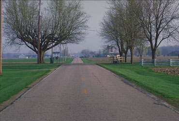
Geography
According to the U.S. Census Bureau, the county has a total area of 407 sqmi, of which 405 sqmi is land and 1.8 sqmi (0.4%) is water.
Adjacent counties
- Lenawee County, Michigan (north)
- Lucas County (east)
- Henry County (south)
- Williams County (west)
- Hillsdale County, Michigan (northwest)
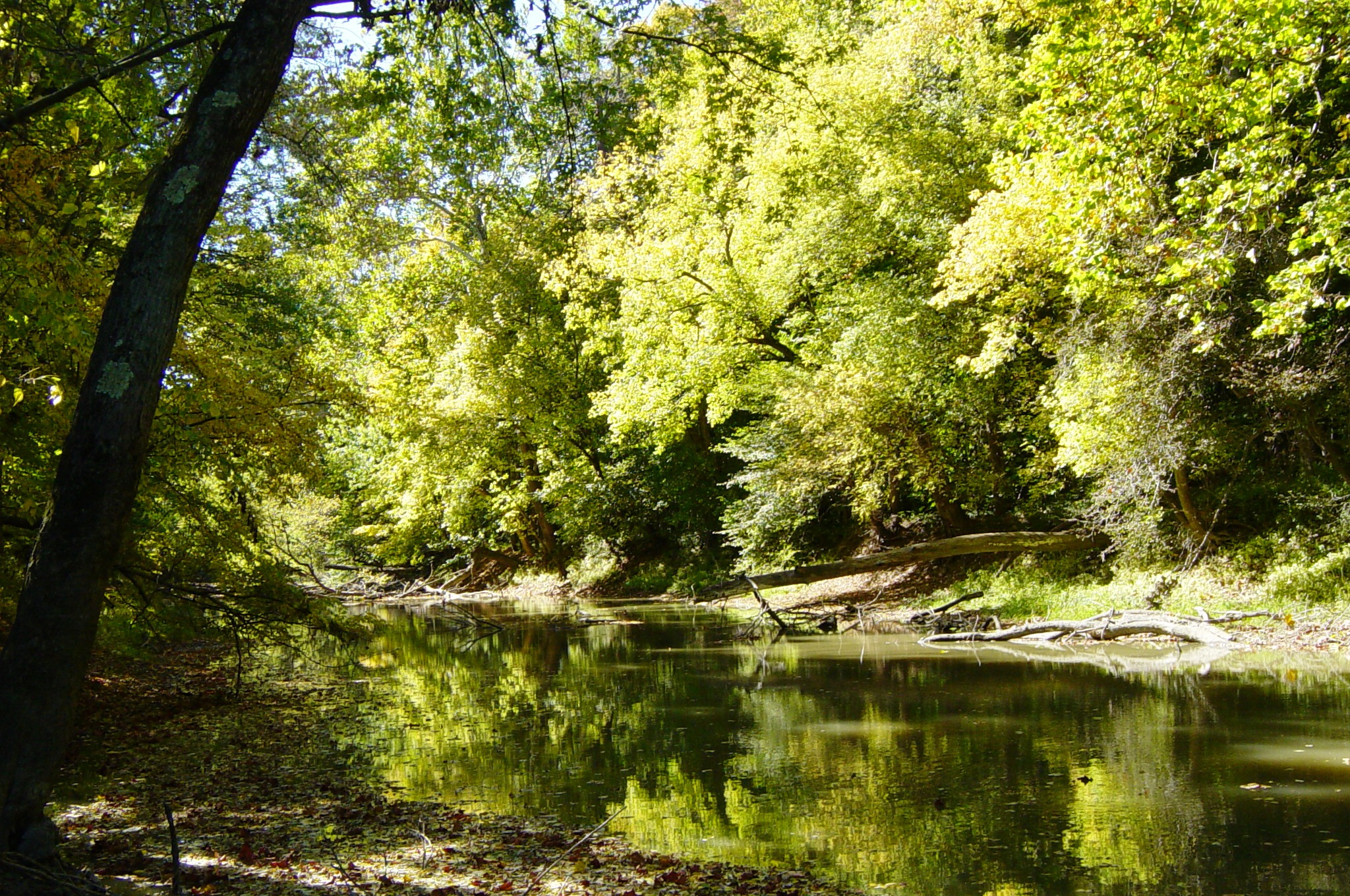
Protected areas
- Goll Woods State Nature Preserve
- Harrison Lake State Park
- Maumee State Forest
- Tiffin River Wildlife Area
- Wabash Cannonball Trail
Demographics
|align-fn=center 1790-1960 1900-1990 1990-2000 2020
2020 census
As of the 2020 census, the county had a population of 42,713. The median age was 41.8 years, with 23.5% of residents under the age of 18 and 19.5% aged 65 years or older. For every 100 females there were 99.4 males, and for every 100 females age 18 and over there were 96.6 males.
The racial makeup of the county was 89.2% White, 0.6% Black or African American, 0.3% American Indian and Alaska Native, 0.4% Asian,
17.8% of residents lived in urban areas, while 82.2% lived in rural areas.
There were 16,801 households in the county, of which 29.9% had children under the age of 18 living in them. Of all households, 54.7% were married-couple households, 17.0% were households with a male householder and no spouse or partner present, and 22.0% were households with a female householder and no spouse or partner present. About 25.5% of all households were made up of individuals and 12.6% had someone living alone who was 65 years of age or older.
There were 17,689 housing units, of which 5.0% were vacant. Among occupied housing units, 77.5% were owner-occupied and 22.5% were renter-occupied. The homeowner vacancy rate was 1.0% and the rental vacancy rate was 4.3%.
Racial and ethnic composition
| Race / Ethnicity (NH = Non-Hispanic) | title=1980 Census of Population - General Social and Economic Characteristics - Ohio- Table 59 - Persons by Spanish Origin, Race, and Sex: 1980 AND Table 58 - Race by Sex: 1980 | url=https://www2.census.gov/library/publications/decennial/1980/volume-1/ohio/1980censusofpopu80137un_bw.pdf | website=United States Census Bureau | page=49-67 and 27-47}} | Pop 1990 | title=P004: Hispanic or Latino, and Not Hispanic or Latino by Race – 2000: DEC Summary File 1 – Fulton County, Ohio | url=https://data.census.gov/table?g=050XX00US39051&tid=DECENNIALSF12000.P004 | website=United States Census Bureau | access-date= }} | title=P2: Hispanic or Latino, and Not Hispanic or Latino by Race – 2010: DEC Redistricting Data (PL 94-171) – Fulton County, Ohio | url=https://data.census.gov/cedsci/table?q=p2&g=050XX00US39051&tid=DECENNIALPL2010.P2 | website=United States Census Bureau | access-date= }} | Pop 2020 | % 1980 | % 1990 | % 2000 | % 2010 | % 2020 |
|---|---|---|---|---|---|---|---|---|---|---|---|---|---|---|---|---|---|---|---|
| White alone (NH) | 35,854 | 36,367 | 39,011 | 38,569 | 36,968 | 94.97% | 94.46% | 92.70% | 90.33% | 86.55% | |||||||||
| Black or African American alone (NH) | 36 | 85 | 93 | 138 | 225 | 0.10% | 0.22% | 0.22% | 0.32% | 0.53% | |||||||||
| Native American or Alaska Native alone (NH) | 22 | 57 | 82 | 84 | 60 | 0.06% | 0.15% | 0.19% | 0.20% | 0.14% | |||||||||
| Asian alone (NH) | 82 | 134 | 172 | 176 | 152 | 0.22% | 0.35% | 0.41% | 0.41% | 0.36% | |||||||||
| Native Hawaiian or Pacific Islander alone (NH) | x | x | 12 | 4 | 6 | x | x | 0.03% | 0.01% | 0.01% | |||||||||
| Other race alone (NH) | 25 | 13 | 28 | 23 | 120 | 0.07% | 0.03% | 0.07% | 0.05% | 0.28% | |||||||||
| Mixed race or Multiracial (NH) | x | x | 264 | 363 | 1,391 | x | x | 0.63% | 0.85% | 3.26% | |||||||||
| Hispanic or Latino (any race) | 1,732 | 1,842 | 2,422 | 3,341 | 3,791 | 4.59% | 4.78% | 5.76% | 7.82% | 8.88% | |||||||||
| Total | 37,751 | 38,498 | 42,084 | 42,698 | 42,713 | 100.00% | 100.00% | 100.00% | 100.00% | 100.00% |
2010 census
As of the 2010 United States census, there were 42,698 people, 16,188 households, and 11,942 families living in the county.{{cite web |access-date=December 27, 2015 |archive-url=https://archive.today/20200213021222/http://factfinder.census.gov/bkmk/table/1.0/en/DEC/10_DP/DPDP1/0500000US39051 |archive-date=February 13, 2020 |url-status=dead |access-date=December 27, 2015 |archive-url=https://archive.today/20200213185332/http://factfinder.census.gov/bkmk/table/1.0/en/DEC/10_SF1/GCTPH1.CY07/0500000US39051 |archive-date=February 13, 2020 |url-status=dead |access-date=December 27, 2015 |archive-url=https://archive.today/20200213031438/http://factfinder.census.gov/bkmk/table/1.0/en/ACS/10_5YR/DP02/0500000US39051 |archive-date=February 13, 2020 |url-status=dead
Of the 16,188 households, 34.6% had children under the age of 18 living with them, 59.8% were married couples living together, 9.3% had a female householder with no husband present, 26.2% were non-families, and 22.3% of all households were made up of individuals. The average household size was 2.61 and the average family size was 3.05. The median age was 39.9 years.
The median income for a household in the county was $50,717 and the median income for a family was $59,090. Males had a median income of $42,561 versus $30,070 for females. The per capita income for the county was $22,804. About 8.5% of families and 10.5% of the population were below the poverty line, including 14.4% of those under age 18 and 5.4% of those age 65 or over.{{cite web |access-date=December 27, 2015 |archive-url=https://archive.today/20200213012404/http://factfinder.census.gov/bkmk/table/1.0/en/ACS/10_5YR/DP03/0500000US39051 |archive-date=February 13, 2020 |url-status=dead
2000 census
As of the census of 2000, there were 42,084 people, 15,480 households, and 11,687 families living in the county. The population density was 104 PD/sqmi. There were 16,232 housing units at an average density of 40 /mi2. The racial makeup of the county was 95.65% White, 0.24% Black or African American, 0.26% Native American, 0.42% Asian, 0.04% Pacific Islander, 2.31% from other races, and 1.08% from two or more races. 5.76% of the population were Hispanic or Latino of any race.
There were 15,480 households, out of which 37.10% had children under the age of 18 living with them, 63.20% were married couples living together, 8.20% had a female householder with no husband present, and 24.50% were non-families. 21.10% of all households were made up of individuals, and 9.40% had someone living alone who was 65 years of age or older. The average household size was 2.69 and the average family size was 3.13.
In the county, the population was spread out, with 28.30% under the age of 18, 7.70% from 18 to 24, 28.70% from 25 to 44, 22.60% from 45 to 64, and 12.70% who were 65 years of age or older. The median age was 36 years. For every 100 females there were 95.60 males. For every 100 females age 18 and over, there were 93.30 males.
The median income for a household in the county was $44,074, and the median income for a family was $50,952. Males had a median income of $36,180 versus $25,137 for females. The per capita income for the county was $18,999. About 4.00% of families and 5.40% of the population were below the poverty line, including 6.10% of those under age 18 and 4.60% of those age 65 or over.
Politics
Since 1936, Fulton County has largely voted for Republican candidates for president. The only Democrats to win Fulton were Franklin Pierce in 1852 and Franklin D. Roosevelt in his 1932 election., it also voted for Theodore Roosevelt (of the "Bull Moose" Progressive Party) in 1912.
|}
Transportation
Airport
Fulton County Airport is a public use airport located four nautical miles (5 mi, 7 km) north of the central business district of Wauseon, Ohio. It is owned by the Fulton County Commissioners.
Highways
[[Image:OhioTurnpike.svg|30px]] Ohio Turnpike
Communities

City
- Wauseon (county seat)
Villages
- Archbold
- Delta
- Fayette
- Lyons
- Metamora
- Swanton
Census-designated places
- Ai
- Pettisville
- Tedrow
Unincorporated communities
- Advance
- Assumption
- Burlington
- Denson
- Elmira
- Inlet
- Lytton
- Oakshade
- Ottokee
- Winameg
- Zone
Government
Certain aspects of county government are managed through subdivisional townships.
Townships
- Amboy
- Chesterfield
- Clinton
- Dover
- Franklin
- Fulton
- German
- Gorham
- Pike
- Royalton
- Swan Creek
- York
References
References
- [https://www.census.gov/library/visualizations/interactive/2020-population-and-housing-state-data.html 2020 census]
- "Find a County". National Association of Counties.
- "Old Historical City, County and State Maps of Ohio".
- Gannett, Henry. (1905). "The Origin of Certain Place Names in the United States". Govt. Print. Off..
- Reighard, Frank H.. (1920). "A Standard History of Fulton County, Ohio (Volume 1)". Lewis Publishing Company.
- Aldrich, Lewis Cass. (1888). "History of Henry and Fulton counties, Ohio : with illustrations and biographical sketches of some of its prominent men and pioneers". D. Mason & Co., Publishers.
- Hellmann, Paul T.. (May 13, 2013). "Historical Gazetteer of the United States". Routledge.
- (1851). "Railroad & township map of Ohio". Library of Congress.
- J. A. Norton, Ohio commissioner of railroads & telegraphs. (1890). "Railroad map of Ohio".
- (August 22, 2012). "2010 Census Gazetteer Files". United States Census Bureau.
- "U.S. Decennial Census". United States Census Bureau.
- "Historical Census Browser". University of Virginia Library.
- (March 27, 1995). "Population of Counties by Decennial Census: 1900 to 1990". United States Census Bureau.
- (April 2, 2001). "Census 2000 PHC-T-4. Ranking Tables for Counties: 1990 and 2000". United States Census Bureau.
- (2021). "2020 Decennial Census Demographic Profile (DP1)".
- (2021). "2020 Decennial Census Redistricting Data (Public Law 94-171)".
- (2023). "2020 Decennial Census Demographic and Housing Characteristics (DHC)".
- "1980 Census of Population - General Social and Economic Characteristics - Ohio- Table 59 - Persons by Spanish Origin, Race, and Sex: 1980 AND Table 58 - Race by Sex: 1980".
- "1990 Census of Population - General Population Characteristics - Ohio: Table 6 - Race and Hispanic Origin".
- "P004: Hispanic or Latino, and Not Hispanic or Latino by Race – 2000: DEC Summary File 1 – Fulton County, Ohio".
- "P2: Hispanic or Latino, and Not Hispanic or Latino by Race – 2010: DEC Redistricting Data (PL 94-171) – Fulton County, Ohio".
- "P2: Hispanic or Latino, and Not Hispanic or Latino by Race – 2020: DEC Redistricting Data (PL 94-171) – Fulton County, Ohio".
- included in the Asian category in the 1980 Census
- included in the Asian category in the 1990 Census
- not an option in the 1980 Census
- not an option in the 1990 Census
- "U.S. Census website". [[United States Census Bureau]].
- "Fulton County Election Results".
- (November 5, 2024). "2024 Senate Election (Official Returns)".
- {{FAA-airport
This article was imported from Wikipedia and is available under the Creative Commons Attribution-ShareAlike 4.0 License. Content has been adapted to SurfDoc format. Original contributors can be found on the article history page.
Ask Mako anything about Fulton County, Ohio — get instant answers, deeper analysis, and related topics.
Research with MakoFree with your Surf account
Create a free account to save articles, ask Mako questions, and organize your research.
Sign up freeThis content may have been generated or modified by AI. CloudSurf Software LLC is not responsible for the accuracy, completeness, or reliability of AI-generated content. Always verify important information from primary sources.
Report