From Surf Wiki (app.surf) — the open knowledge base
Flamingo Road (Las Vegas)
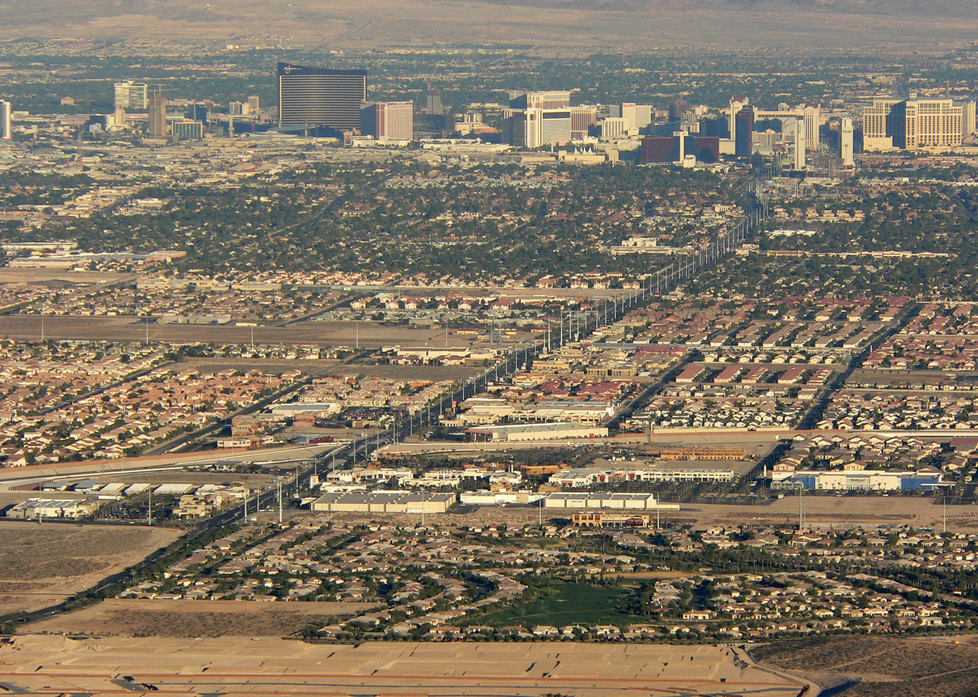
Road in Las Vegas
_near_Las_Vegas,_Nevada.jpg)
Road in Las Vegas
| Field | Value |
|---|---|
| state | NV |
| type | SR |
| county | Clark |
| route | 592 |
| alternate_name | Flamingo Road |
| map | |
| map_custom | yes |
| map_notes | SR 592 in red, remainder of Flamingo Road in blue |
| length_mi | 8.471 |
| length_ref | |
| length_round | 3 |
| established | July 1, 1976 |
| length_mi1 | 3.577 |
| length_ref1 | |
| direction_a1 | West |
| terminus_a1 | in Spring Valley |
| direction_b1 | East |
| terminus_b1 | in Paradise |
| length_mi2 | 4.894 |
| length_ref2 | |
| direction_a2 | West |
| terminus_a2 | Paradise Road in Paradise |
| junction2 | in Paradise |
| direction_b2 | East |
| terminus_b2 | in Whitney |
| previous_type | SR |
| previous_route | 582 |
| next_type | SR |
| next_route | 593 |
Flamingo Road is an east–west section line arterial in the Las Vegas Valley. The road is named after Flamingo Las Vegas, which is located on Las Vegas Boulevard near where it intersects with Flamingo Road. Two discontinuous segments of the road totaling 8.487 mi are designated State Route 592 (SR 592).
SR 592 route description
The first portion of SR 592 begins at Rainbow Boulevard (SR 595) and extends easterly to Interstate 15. The second section resumes at Paradise Road and continues east, skirting the northern edge of the University of Nevada, Las Vegas (UNLV) campus before reaching its terminus at Boulder Highway (SR 582).
History


Flamingo Road originally was called Monson Road, and only existed east of Las Vegas Boulevard, with a nearby street, Dunes Road connecting Las Vegas Boulevard with Interstate 15 (I-15). In the early 1980s, the Nevada Department of Transportation rebuilt the Dunes interchange at I-15, and constructed a six-lane Flamingo Road west to Rainbow Boulevard.
The segment between I-15 and Las Vegas Boulevard remained named Dunes-Flamingo Road until 1995.
The portion of SR 592 between I-15 and Paradise Road was decommissioned by 2008.
The route is a candidate to be decommissioned with control given to Clark County; however, only the above section located in the resort corridor has been relinquished in January 2008.
Major intersections
Attractions
- Palms Casino Resort
- Gold Coast Hotel and Casino
- Bellagio (resort)
- Caesars Palace
- Bally's Las Vegas
- The Cromwell Las Vegas
Public transport
RTC Transit Route 202 functions on this road. Bus-only lanes operate between Rainbow Boulevard and Arville Street, and Koval Lane and Boulder Highway.
References
References
- Nevada Department of Transportation. (January 2017). "State Maintained Highways of Nevada: Descriptions and Maps".
This article was imported from Wikipedia and is available under the Creative Commons Attribution-ShareAlike 4.0 License. Content has been adapted to SurfDoc format. Original contributors can be found on the article history page.
Ask Mako anything about Flamingo Road (Las Vegas) — get instant answers, deeper analysis, and related topics.
Research with MakoFree with your Surf account
Create a free account to save articles, ask Mako questions, and organize your research.
Sign up freeThis content may have been generated or modified by AI. CloudSurf Software LLC is not responsible for the accuracy, completeness, or reliability of AI-generated content. Always verify important information from primary sources.
Report