From Surf Wiki (app.surf) — the open knowledge base
Farringdon, Sunderland
Suburb in Tyne and Wear, England

Suburb in Tyne and Wear, England
| Field | Value | |||||||
|---|---|---|---|---|---|---|---|---|
| official_name | Farringdon | |||||||
| country | England | |||||||
| region | North East England | |||||||
| static_image_name | File:FarringdonMontage.png | |||||||
| static_image_caption | Pictured from top right clockwise: Arbroath Road, Anthony Road (Former site of Farringdon Hall), Abercorn Road, Farringdon Country Park | |||||||
| map_type | Tyne and Wear | |||||||
| population | 9449 | |||||||
| population_ref | (2011 census){{cite web | url=https://www.ukcensusdata.com/st-chads-e05001166#sthash.2jpDy9TV.dpbs | ||||||
| last | first= | year=2011 | title= St. Chad's | website=ukcensusdata.com/ | publisher= UK Census Data | access-date=30 August 2022 | quote=}} (Figure also includes neighbouring East & Middle Herrington as part of the St. Chad's Ward) | |
| coordinates | ||||||||
| post_town | Sunderland | |||||||
| postcode_area | SR | |||||||
| postcode_district | SR3 | |||||||
| constituency_westminster | Houghton and Sunderland South | |||||||
| metropolitan_borough | City of Sunderland | |||||||
| metropolitan_county | Tyne and Wear |
Farringdon is a suburb of Sunderland, Tyne and Wear, England. Originally a Monastic grange and manor estate for hundreds of years, Farringdon was rebuilt as a post-war council housing estate in the 1950s. It is approximately 3 mi south of the city centre along the A690, close to Thorney Close, Silksworth, East Herrington, Gilley Law and Doxford Park. Electorally, the area comes under the St. Chad's ward of the City.
Geology
The area of Sunderland Farringdon is built on was formed during the Permian period, and as per the wider region is theorized to have been a shallow carbonate sea.{{cite web|url=https://www.geolsoc.org.uk/Policy-and-Media/Outreach/Plate-Tectonic-Stories/Zechstein-Reef|title=Zechstein Reefs, North Sea
History
Pre-history
Recorded human activity on Farringdon has been dated to the Neolithic era, due to a stone axe uncovered during construction work in the 1950s.{{cite web
The Middle Ages
The parish of Bishopwearmouth in the Middle Ages was divided into a number of copyholdings held by custom of the Bishop of Durham, of which was delegated to various tenants. Farringdon emerged as a part of this system and operated as a block Demesne, whilst being also a hamlet and estate under the township of Silksworth.{{cite book
The name derives from: "Farm or hill of Faer or his sons"; it had a variety of spellings throughout this period including Farnton Hall, Farrington Hall, Ffaernton and Ferenton Hall. By the 15th century, it served as a Monastic Grange of the priory of Hexham.
In the 1420s, the land was represented by Robert Jackson who served as bailiff of Sunderland and collected taxes on behalf of the Bishop of Durham. By 1479 the Black Book of Hexham detailed the area as possessing cottage lands, a windmill, an oven and brewery A new manor was built on the land in 1597; it disappeared by the mid 20th century.{{cite news
Renaissance and early modern period
Following the Dissolution of the monasteries the Farringdon Monastic Grange was returned to the crown and later granted to Sir John Forster by Queen Elizabeth I. The estate would pass on to other owners throughout this period, including George Blakiston, and the Pepper family of North Yorkshire.
During the English Civil War the Scottish Army crossed the River Wear at South Hylton and set up their headquarters at Farringdon Hall.
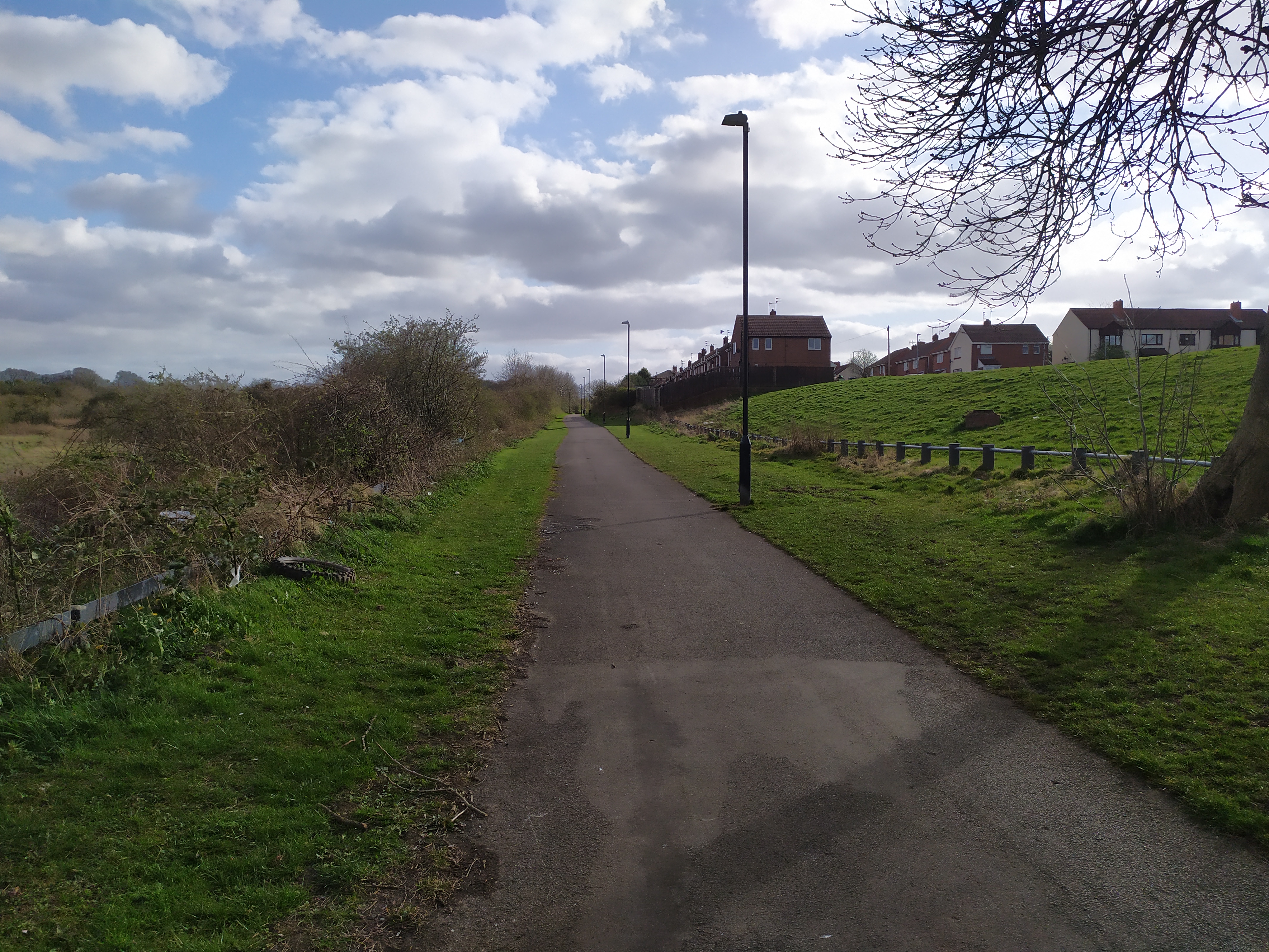
In the mid 19th century, the Hetton Colliery Railway, one of the first operational railways in history and the first of its kind to transport coal, passed through Farringdon and Gilley Law en route to the River Wear. A rail trail has been established along the former route.
The modern housing estate

The manor and farm existed on the land until the 20th century. In 1950, Sunderland authorities purchased 208.69 acre and set out plans for the creation of a new estate consisting of over 1,400 houses, creating today's Farringdon. The last private owners of the estate were Robert Moorhead and George Lee, who were publicly critical of the pace at which the land was acquired and developed. Herrington Parish Council also resisted the estate, lodging protests with Durham County Planners.
By the end of the century, many of the homes on the estate had been privately purchased through the Right to Buy scheme. In 1998, Sunderland City Council proposed the creation of Farringdon Country Park, a designated recreational and conservation space neighbouring the suburb.
Transport
Main article: Transport in Tyne and Wear
Education
Farringdon is home to two schools. A large secondary school (Farringdon Community Academy) which serves a catchment area also consisting of Doxford Park, East Herrington and New Silksworth as well as a primary school (Farringdon Primary School).
Amenities
Farringdon is home to a single pub known as The Dolphin, which has been voted Sunderland's "pub of the year" for five years running. The former Farringdon Social Club closed in 2017 and has since been redeveloped into a supermarket
The estate also possesses three shopping arcades, two which are based on Allendale Road and the other on Ashdown Road, as well as a McDonalds and a Simply local supermarket. The former Farringdon Hall police station, which was closed in 2015, is set to be redeveloped into a new business park consisting of a Greggs, B&M and a Costa Coffee
Politics
Farringdon is a component of the St. Chad's Ward in the city alongside parts of Herrington. Presently, the area is represented by three councillors from the Conservative Party (UK). Labour MP Bridget Phillipson has represented Farringdon as part of the Houghton and Sunderland South constituency since it was created in 2010.
References
References
- (18 February 2020). "The medieval village of Bishopwearmouth". Victory County History.
- Mawer, Allen. (1920). "The Place-Names of Northumberland and Durham". [[Cambridge University Press]].
- Surtees, Robert. (1907). "The History and Antiquities of the Palatine of the County Durham". [[Internet Archive]].
- "Sitelines". [[Tyne and Wear]] Archaeology Office.
- (1858). "The History and Antiquities of Sunderland, Bishopwearmouth, Bishopwearmouth Panns, Burdon ...: From the Earliest Authentic Records Down to the Present Time".
- Surtees, Robert. (1820). "The History and Antiquities of the County Palatine of Durham, Vol. 2". [[British History Online]].
- (1928). "A History of the County of Durham Vol. 3". [[British History Online]].
- Hinds, Allen B.. (1896). "A History of Northumberland, Volume III, Part I: Hexamshire". Andrew Reid & Co..
- Morrison, Jennifer. "Tyne and Wear HER(222): Farringdon monastic grange – Details". Tyne and Wear Archaeology Office.
- (1821). "The History of Richmond, in the County of York".
- (2017). "The Scottish Covenanters and the Borough of Sunderland, 1639–1647".
- Sunderland, Active. "Heritage Trails, the Stephenson Trail". Sunderland City Council.
- (6 April 1950). ""Homes" Land: Council To Make Next Move". [[Sunderland Echo]].
- (2 May 1950). "Farringdon Hall Scheme". [[Sunderland Echo]].
- (20 April 1954). "Cattle, Farm Tools For Sale As Bulldozers Move In". [[Sunderland Echo]].
- (1950). "Reply to Land Protest". [[Sunderland Echo]].
- Market, The Move. "St Chad's, Sunderland: Sunderland 026D".
- "City of Sunderland Unitary Development Plan". City of Sunderland.
- "Farringdon Community Academy Catchment Area, Reviews and Key Information – SECONDARY".
- "Farringdon Academy". Farringdon Academy.
- Gillan, Tony. (3 December 2019). "See inside the Sunderland Echo Pub of the Year 2019 winner". [[Sunderland Echo]].
- Binding, Chris. (3 December 2019). "Former Sunderland social club set to become business park with cafes, takeaways and shops after housing plans fall through". [[Sunderland Echo]].
- Binding, Chris. (23 March 2022). "'Sunderland lad' developer offers more insight into redevelopment of Farringdon Hall Police Station site, where new Greggs, B&M and Costa are planned.". [[Sunderland Echo]].
- "Sunderland City Council, Members". Sunderland City Council.
- Philipson, Bridget. (15 November 2018). "Bridget Phillipson MP visits Farringdon Academy ahead of Parliament Week". Bridget Philipson MP.
This article was imported from Wikipedia and is available under the Creative Commons Attribution-ShareAlike 4.0 License. Content has been adapted to SurfDoc format. Original contributors can be found on the article history page.
Ask Mako anything about Farringdon, Sunderland — get instant answers, deeper analysis, and related topics.
Research with MakoFree with your Surf account
Create a free account to save articles, ask Mako questions, and organize your research.
Sign up freeThis content may have been generated or modified by AI. CloudSurf Software LLC is not responsible for the accuracy, completeness, or reliability of AI-generated content. Always verify important information from primary sources.
Report