From Surf Wiki (app.surf) — the open knowledge base
Erindale, Saskatoon
| Field | Value | |
|---|---|---|
| name | Erindale | |
| settlement_type | Neighbourhood | |
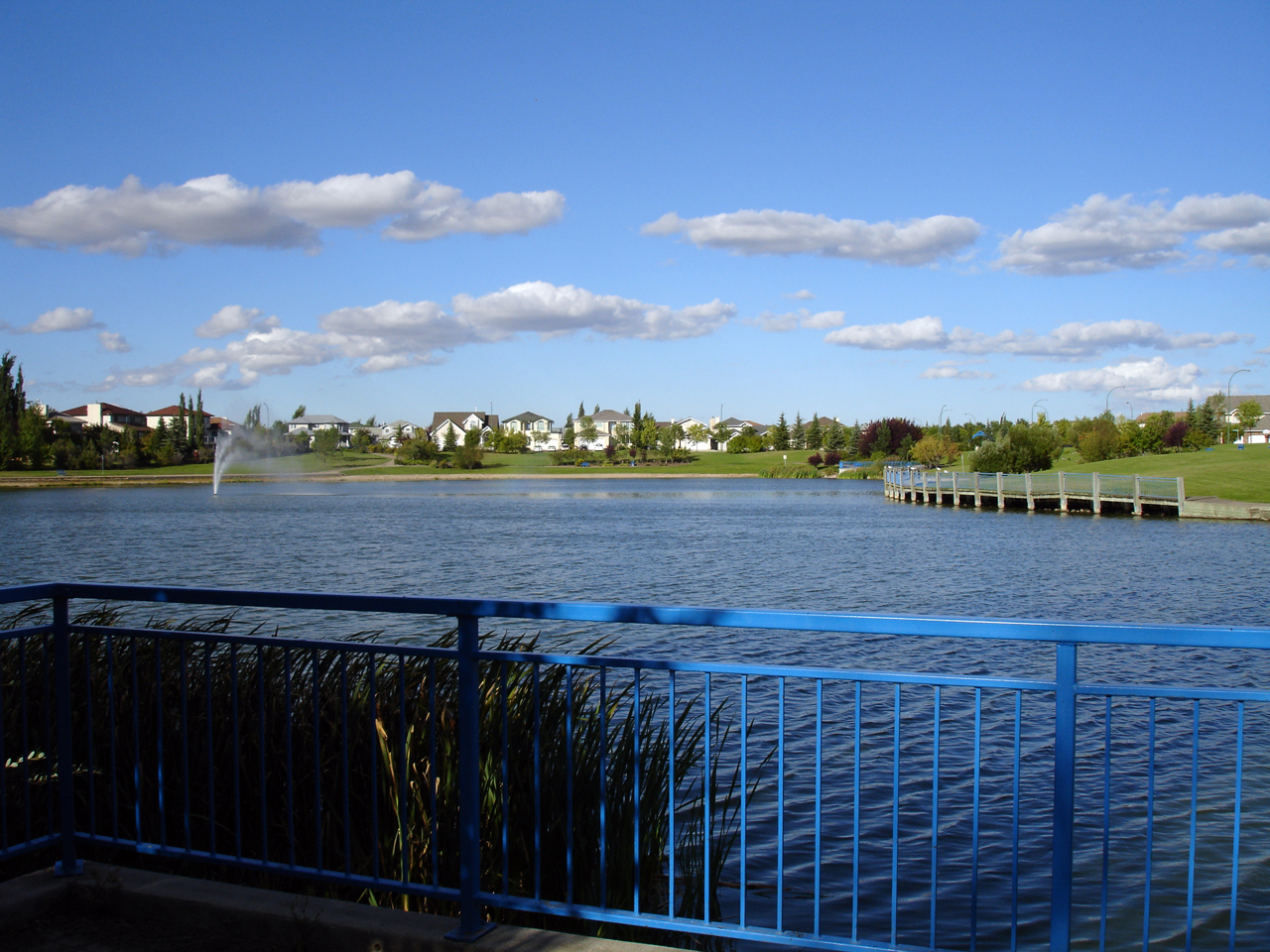
| image_skyline | Erindale_Sign.jpg | |
| imagesize | 270px | |
| image_caption | Erindale entrance sign | |
| image_map | Erindale-map.png | |
| mapsize | 270px | |
| map_caption | Erindale location map | |
| dot_x | dot_y = | |
| pushpin_map | ||
| pushpin_label_position | ||
| subdivision_type | Country | |
| subdivision_name | ||
| subdivision_type1 | Province | |
| subdivision_name1 | ||
| subdivision_type2 | City | |
| subdivision_name2 | Saskatoon | |
| subdivision_type3 | Suburban Development Area | |
| subdivision_name3 | University Heights | |
| subdivision_type4 | Neighbourhood | |
| subdivision_name4 | Erindale | |
| government_type | Municipal (Ward 10) | |
| leader_title | Administrative body | |
| leader_name | Saskatoon City Council | |
| leader_title1 | Councillor | |
| leader_name1 | Zach Jeffries | |
| established_title | Annexed | |
| established_date | 1980-1984 | |
| established_title2 | Construction | |
| established_date2 | 1986-2001 | |
| established_title3 | ||
| unit_pref | ||
| area_total_km2 | 1.35 | |
| population_as_of | 2011 | |
| population_total | 4,338 | |
| population_blank1_title | Average Income | |
| population_blank1 | $123,336 | |
| timezone | UTC | |
| utc_offset | -6 | |
| coordinates | ||
| elevation_footnotes | ||
| postal_code_type | ||
| website |
Erindale is a primarily residential neighbourhood located in northeast Saskatoon, Saskatchewan, Canada. It is mostly made up of low-density single detached dwellings. As of 2011, the area is home to 4,338 residents. The neighbourhood is considered a high-income area, with an average family income of $123,336, an average dwelling value of $340,990 and a home ownership rate of 95.3%.{{cite web |access-date = 2012-10-15 |access-date=2007-10-31 |archive-url=https://web.archive.org/web/20071201065317/http://www.saskatoon.ca/org/city_planning/resources/populace_newsletter/Populace_Spring_2006.pdf |archive-date=2007-12-01 |url-status=dead
History
The land on which Erindale now sits was annexed over three decades: 1950 to 1959, 1970 to 1979, and 1980 to 1984. The majority of residential construction was done between 1986 and 2001, with a small amount of construction before this. The housing stock is composed mostly of low density, single detached houses. Roadways feature the names of local artists of some fame. Father Robinson School was built starting in 1989, and opened in the fall of 1992.{{cite web | access-date = 2015-07-01}}
Government and politics
Erindale exists within the federal electoral district of Saskatoon—University. It is currently represented by Corey Tochor of the Conservative Party of Canada, first elected in 2019.
Provincially, the area is within the constituency of Saskatoon Willowgrove. It is currently represented by Ken Cheveldayoff of the Saskatchewan Party, first elected in 2003.
In Saskatoon's non-partisan municipal politics, Erindale lies within ward 10. It is currently represented by Zach Jeffries, first elected in 2012.
Education
- Dr. John G. Egnatoff School - public elementary, part of the Saskatoon Public School Division{{cite web |access-date = 2015-07-04}}
- Father Robinson School - separate (Catholic) elementary, part of Greater Saskatoon Catholic Schools{{cite web |access-date = 2015-07-04}}
Parks and recreation
- Don Ross Park (0.5 acres)
- John Avant Park (21.2 acres)
- Ernest Lindner Park (13.2 acres) - features a fully accessible playground for disabled children
The Erindale/Arbor Creek Community Association organizes events and activities for its residents. Programs operate out of Father Robinson, and Dr. John G. Egnatoff Schools as well as neighbourhood parks. The Association also plays an important role in representing the interests of residents in key community issues such as schools and parks.{{cite web |access-date=2007-11-10 |archive-url=https://web.archive.org/web/20071020154129/http://city.saskatoon.sk.ca/org/leisure/community_associations/your_association.asp?ca=13 |archive-date=2007-10-20 |url-status=dead
Commercial
Because of the adjacent University Heights Suburban Centre, there is almost no commercial development in Erindale. There is only one commercial building - a Mac's convenience store on the corner of Kenderdine Road and Kerr Road. 52 home-based businesses exist in the area.
Location
Erindale is located within the University Heights Suburban Development Area. It is bounded by McOrmond Drive to the east, Kerr Road to the south, Berini Drive to the west, and 115th Street/Kenderdine Road/Attridge Drive/ to the north. Inside those boundaries, the roads are a mix of local and collector roads.
References
References
- "Current Members of Parliament".
- "Legislative Assembly of Saskatchewan - Members of the Legislative Assembly".
- "City Councillors - Saskatoon.ca".
- "Active List of Saskatchewan Schools/Programs".
- "Everybody's Playground". Erindale/Arbor Creek Community Association.
This article was imported from Wikipedia and is available under the Creative Commons Attribution-ShareAlike 4.0 License. Content has been adapted to SurfDoc format. Original contributors can be found on the article history page.
Ask Mako anything about Erindale, Saskatoon — get instant answers, deeper analysis, and related topics.
Research with MakoFree with your Surf account
Create a free account to save articles, ask Mako questions, and organize your research.
Sign up freeThis content may have been generated or modified by AI. CloudSurf Software LLC is not responsible for the accuracy, completeness, or reliability of AI-generated content. Always verify important information from primary sources.
Report